Kashiwajima cliff hike on the Odo Coast
柏島
A short coastal hike above Kashiwajima, following the Odo Coast cliffs between Kannon Rock and Odoyama Observatory.
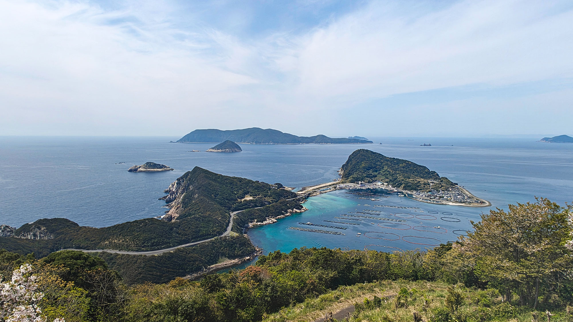
Why we returned for this hike
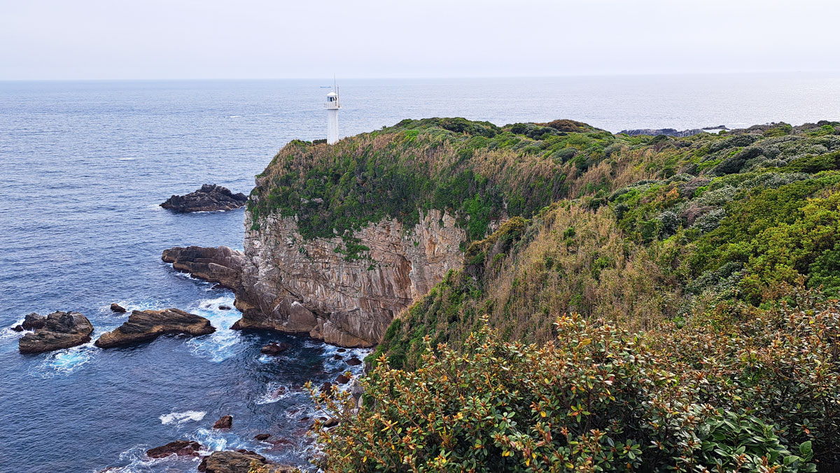
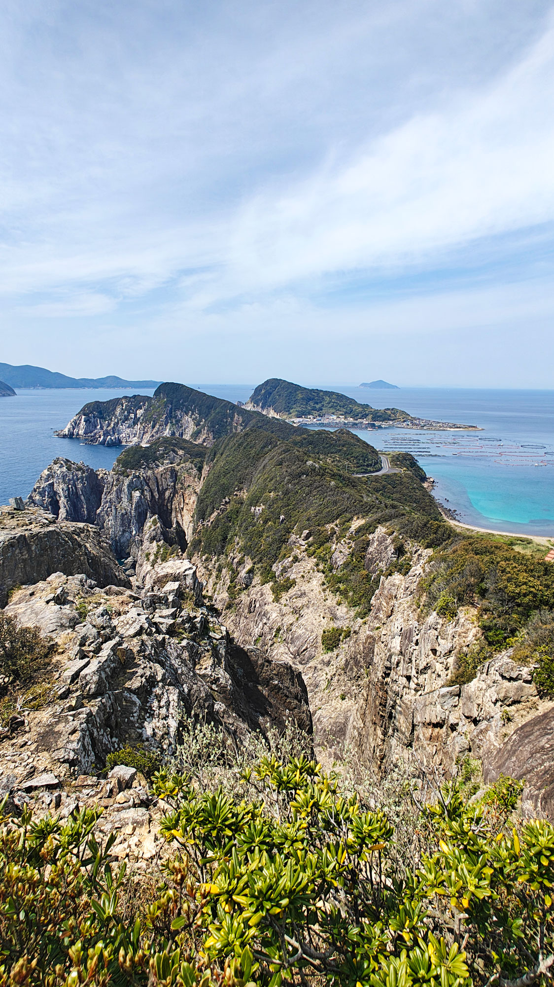
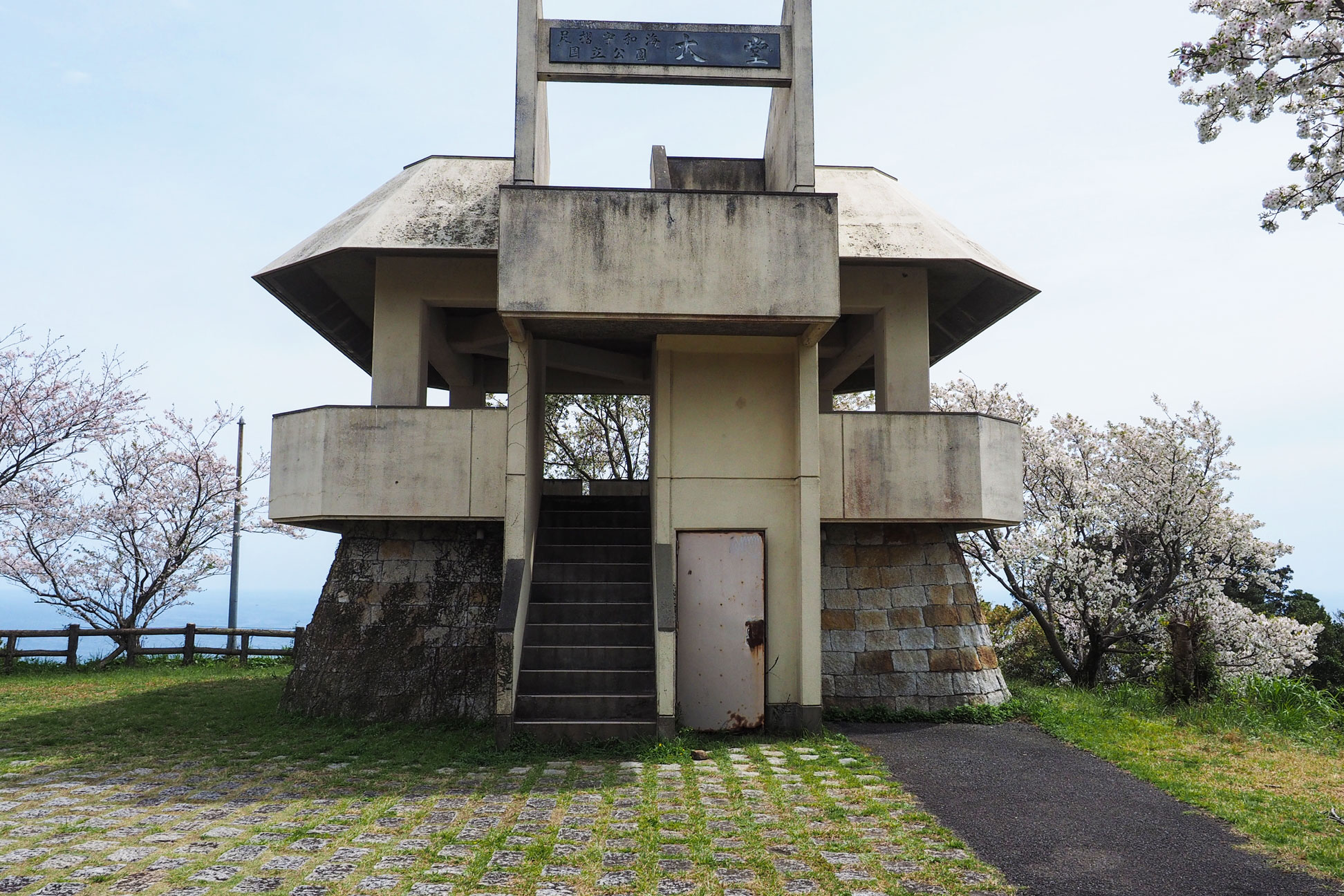
The cliff walk above Kashiwajima follows the Odo Coast between Kannon Rock and Odoyama Observatory. The island is the view below; the walk itself is on the mainland headland, and it was the reason we returned to this corner of southwest Kochi.
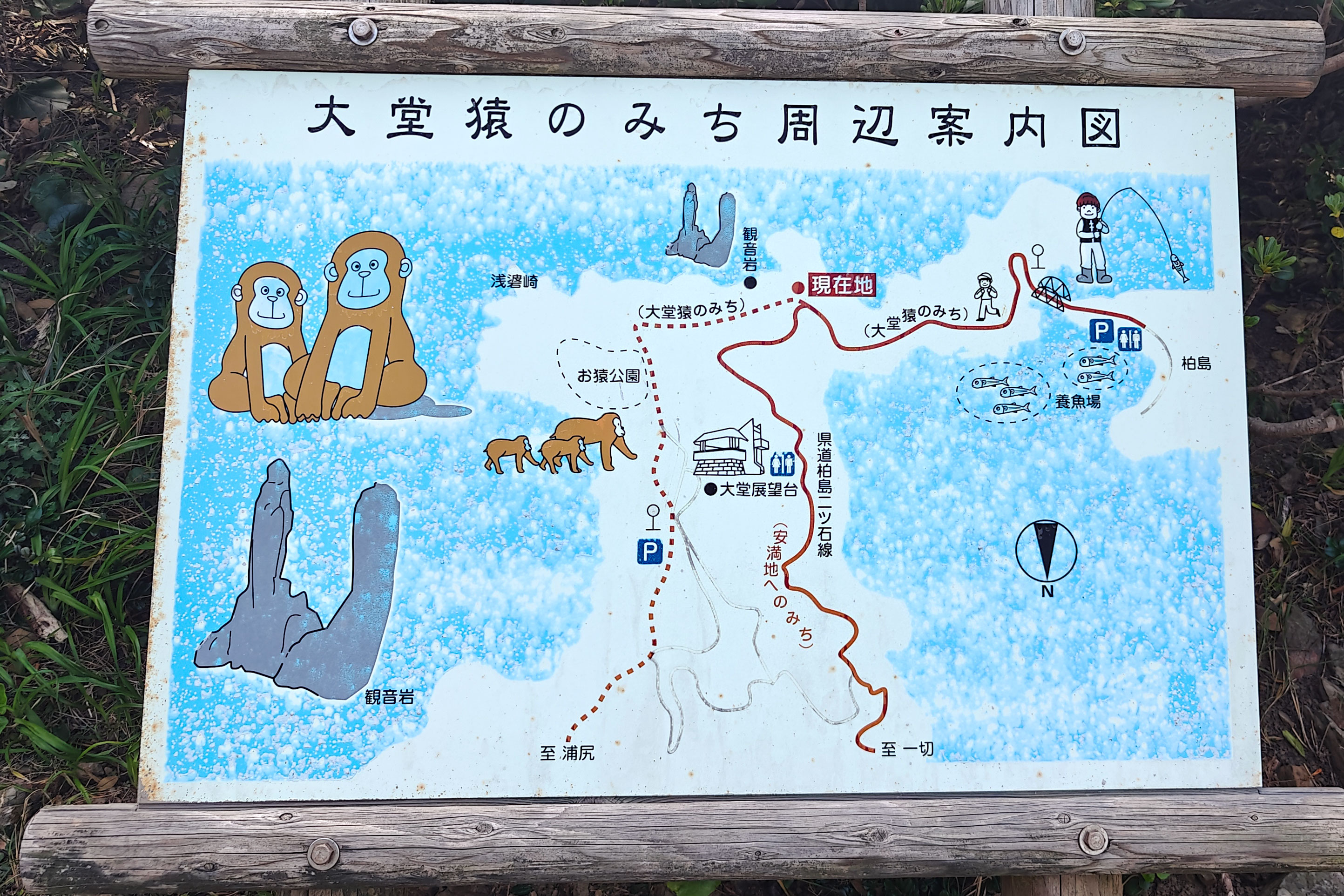
On our first visit, coming from Cape Ashizuri, we walked up the paved road to Odoyama Observatory. Later we stopped at Kannon Rock and found a trailhead map showing that the two viewpoints were connected on foot. That route looked much more interesting, so one year later, while staying in Sukumo, we came back specifically to walk it.
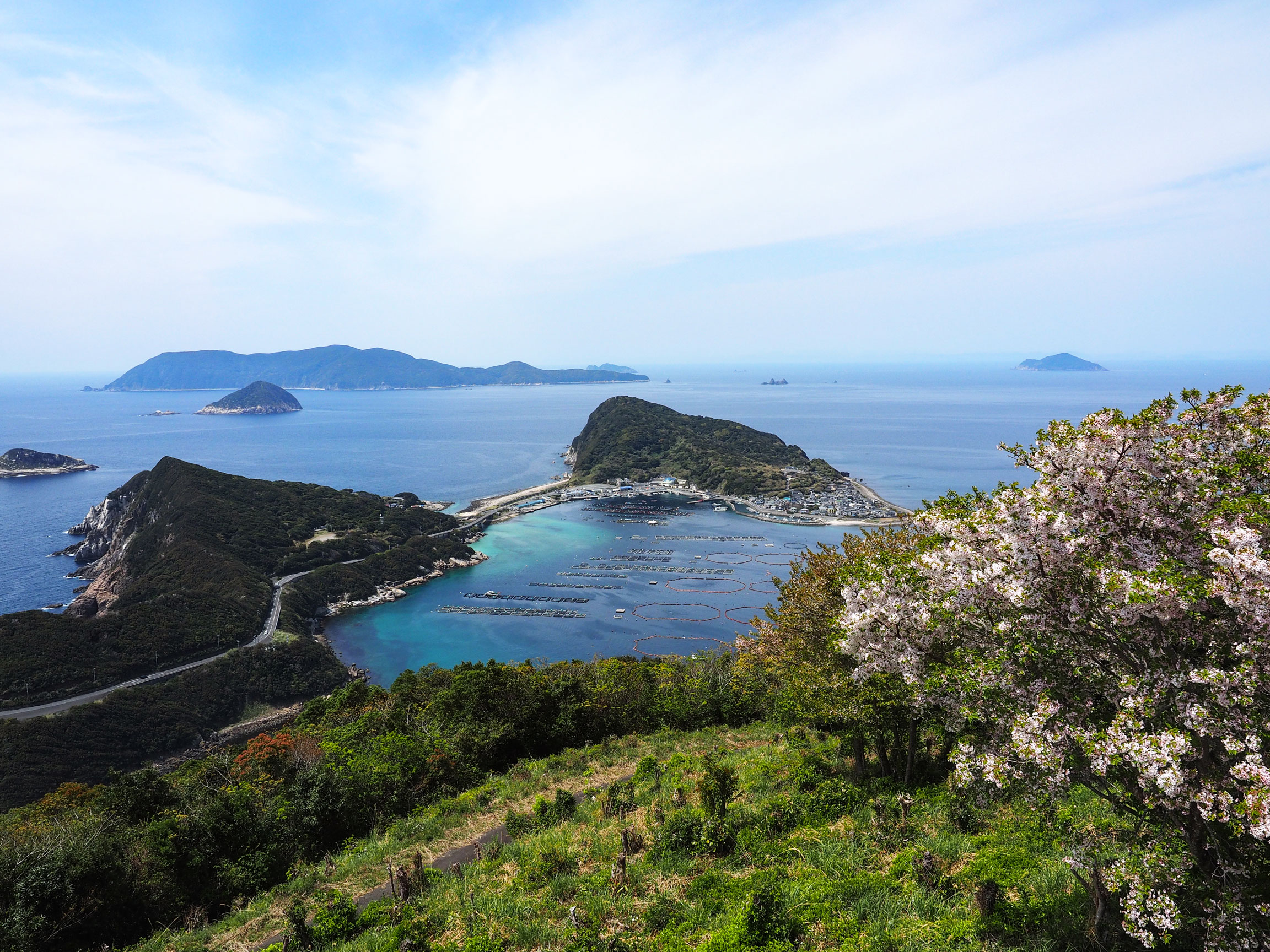
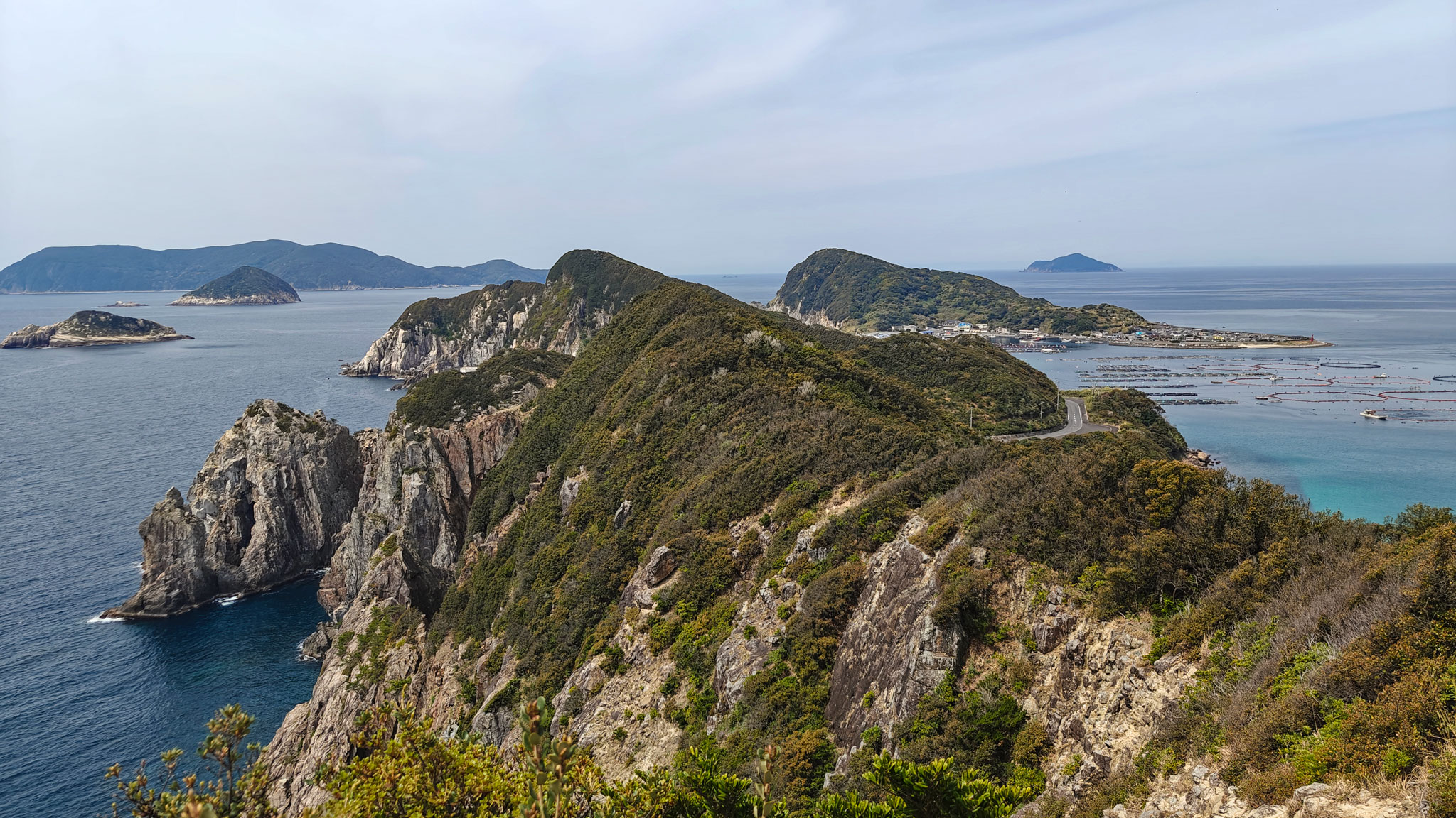
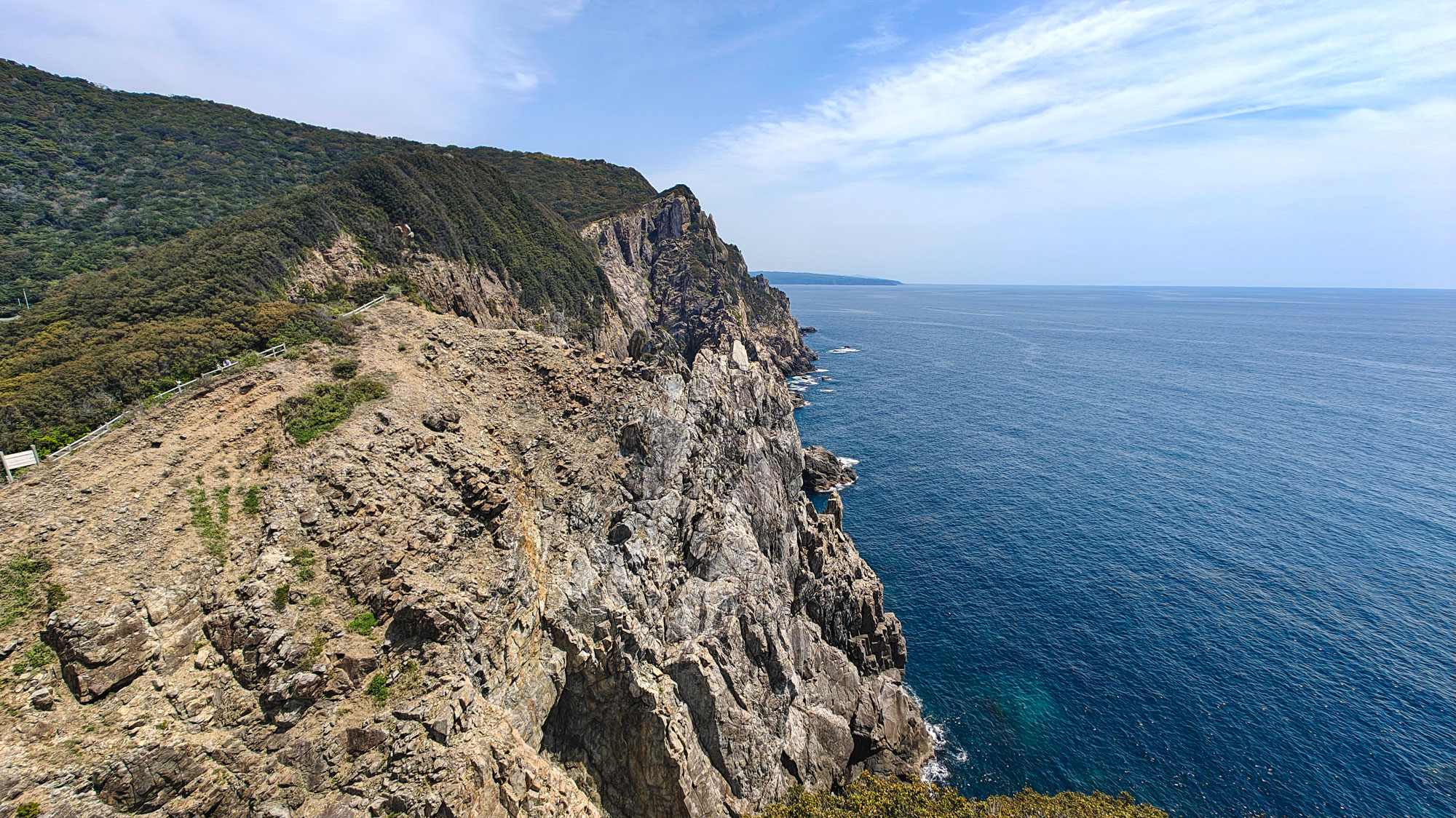
From Kannon Rock to Odoyama Observatory
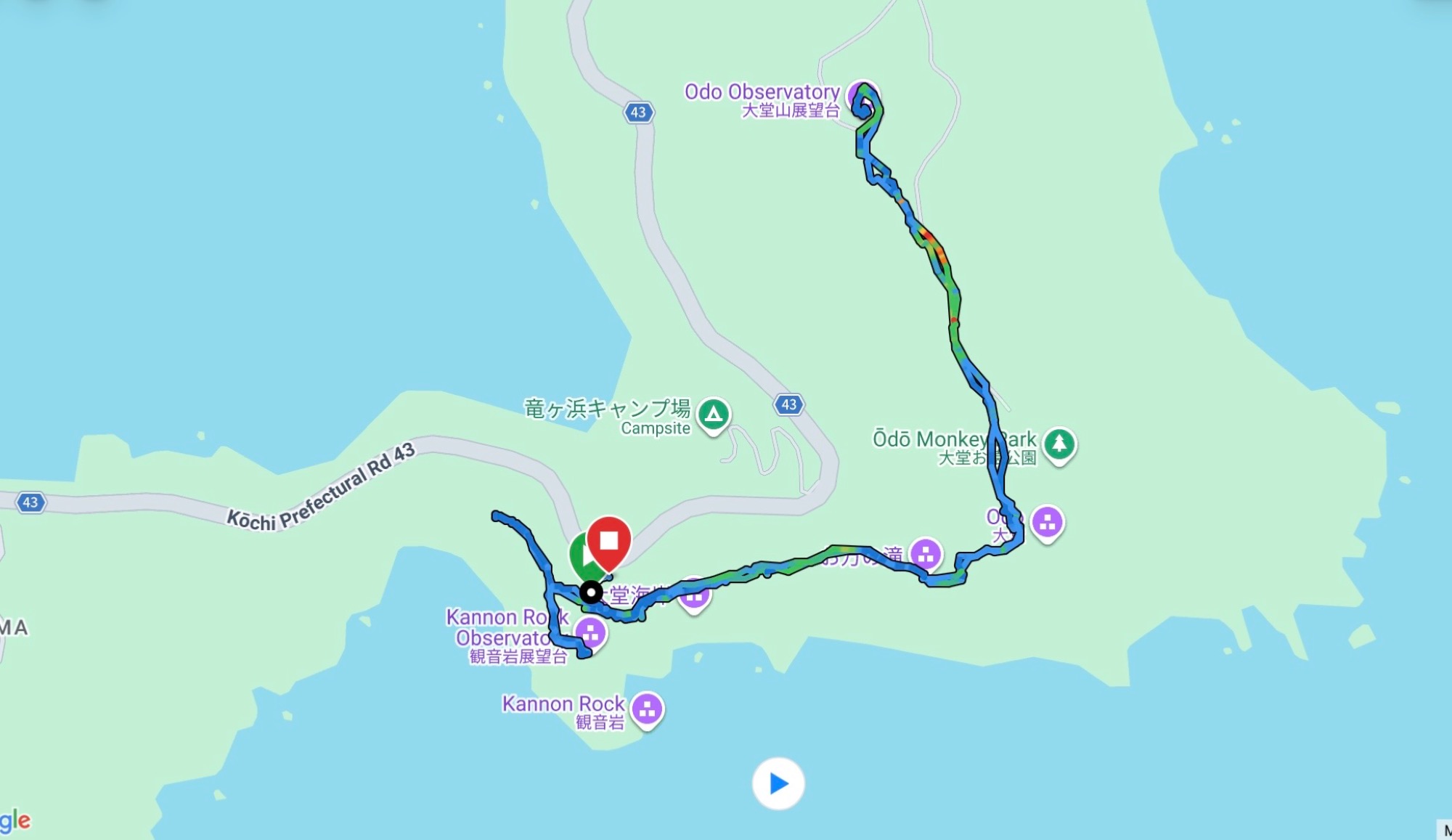
We started near Kannon Rock, followed the trail east to Odoyama Observatory and returned to the same starting area. Our GPX recorded 3.87 kilometres in 1 hour 32 minutes, with roughly 250 metres of climbing.
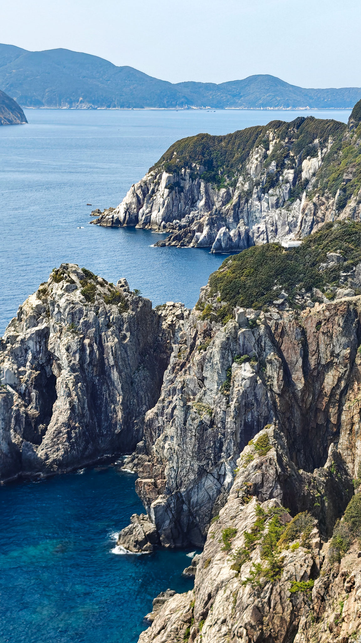
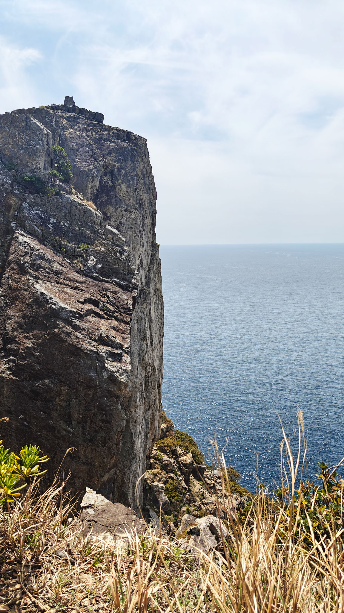
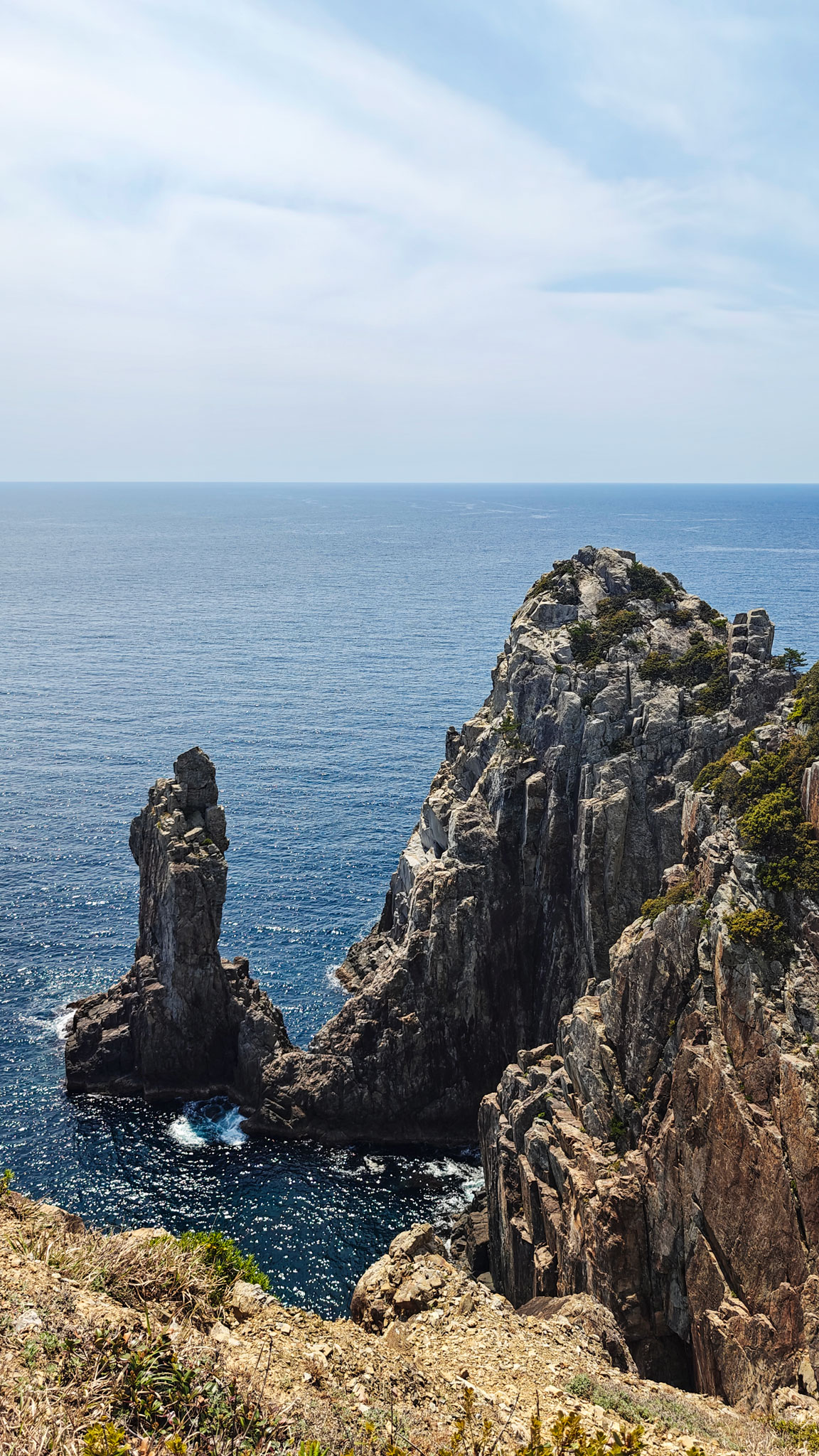
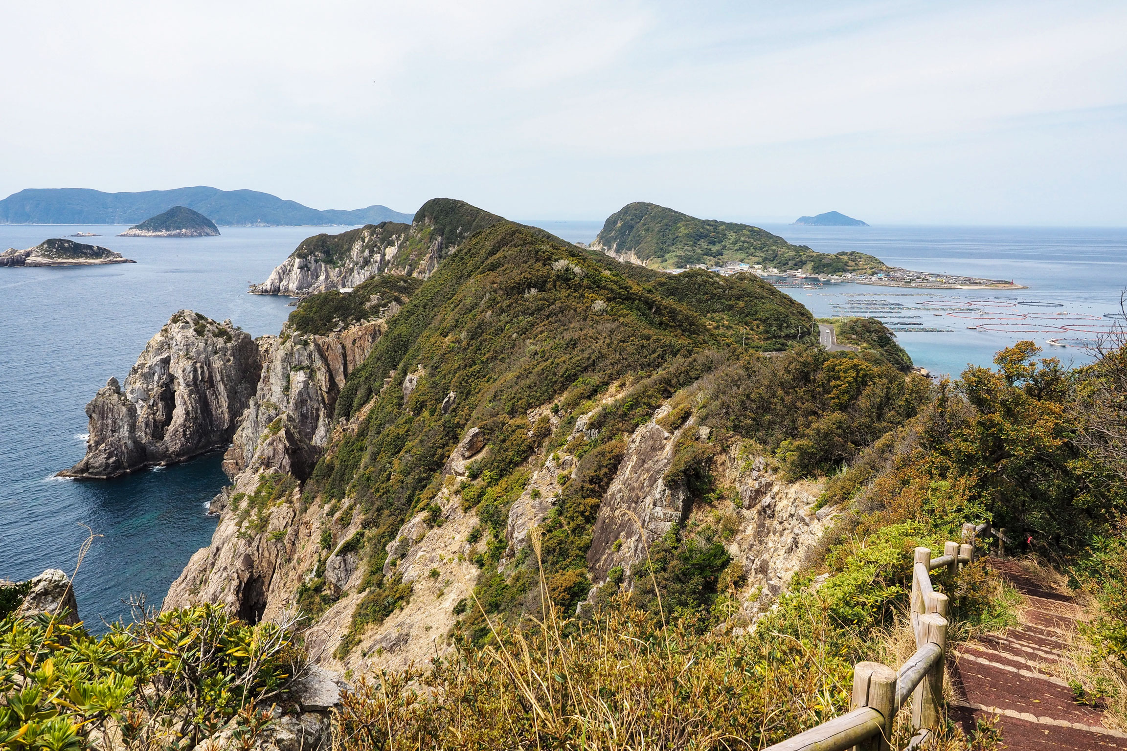
The route crosses steep coastal terrain, moving between open cliff sections, rocky viewpoints and wooded trail. For much of the walk, the white cliffs of the Odo Coast drop towards the sea, with Kashiwajima visible beyond them. Some sections run close to the cliff edge, so this is not a casual paved stroll.
The route was marked and straightforward to follow, but we had found almost no practical information online. The only useful reference was the map at the trailhead. The GPX below records the route we walked.
Kashiwajima and a late tuna lunch
After we finished, we drove across Kashiwajima Shin-ohashi Bridge and parked just beyond it. We took a short walk through the quiet harbour and village before eating at Kashiwajima Village.
We arrived shortly after 2 p.m., past the usual lunch closing time, but the staff let us sit outside and order.
The restaurant specialises in locally aged raw bluefin tuna. We ordered the fully aged tuna bowl and the regular bluefin tuna bowl. The waitress brought out the cut itself to show us before serving — a detail we remember as much as the meal.



Good to know
- Route
The track is a 3.87 km return hike from near Kannon Rock to Odoyama Observatory. It took us 1 hour 32 minutes, with roughly 250 metres of climbing.
- Trail
The trail crosses steep ground, open cliff sections and woods. Some stretches run close to the cliff edge; wear walking shoes and carry water.
- Access
Driving is the practical way to reach the trail. We parked near Kannon Rock; the map marker below points to the start recorded in our GPX.
- After the hike
We drove across Kashiwajima Shin-ohashi Bridge, used the large free parking area just beyond it, walked around the harbour and ate at Kashiwajima Village.
- Stay
We first visited from The Mana Village. We returned for the hike while staying at Sukumo Resort Yashinoyu.
- Official route information
See the Otsuki Tourism Association (external link) and the Kochi route description (external link).
- GPX track
-
Download the GPX track of Kashiwajima cliff hike on the Odo Coast, for your maps app or GPS watch.
- Location
-
Kashiwajima, Otsuki, Kochi Open in maps (external link)
- Details
-
Visited Last checked