Akiyoshidai Chōjagamori walk
長者ヶ森
A 5.6 km loop over the three northern summits of Akiyoshidai, Japan’s largest karst plateau.
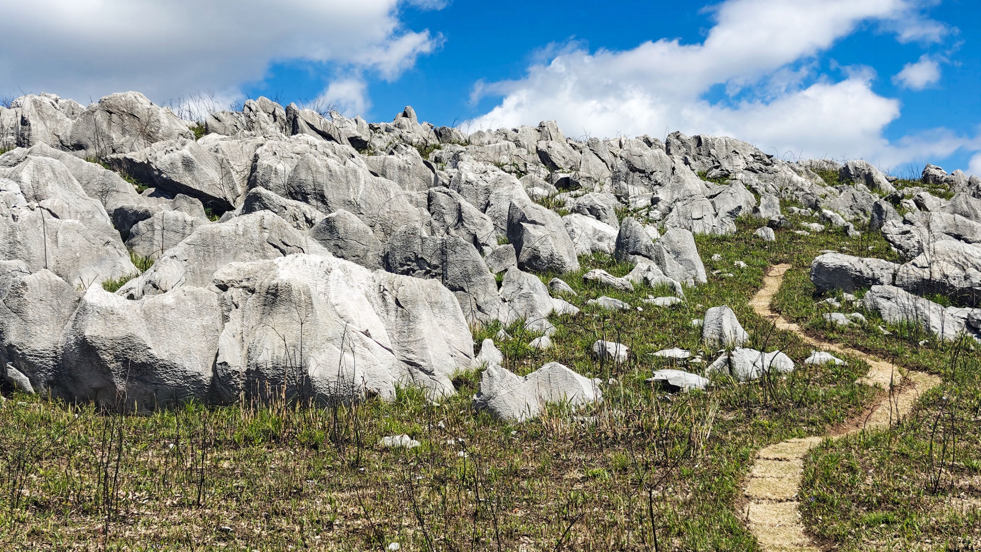
Japan’s largest karst plateau
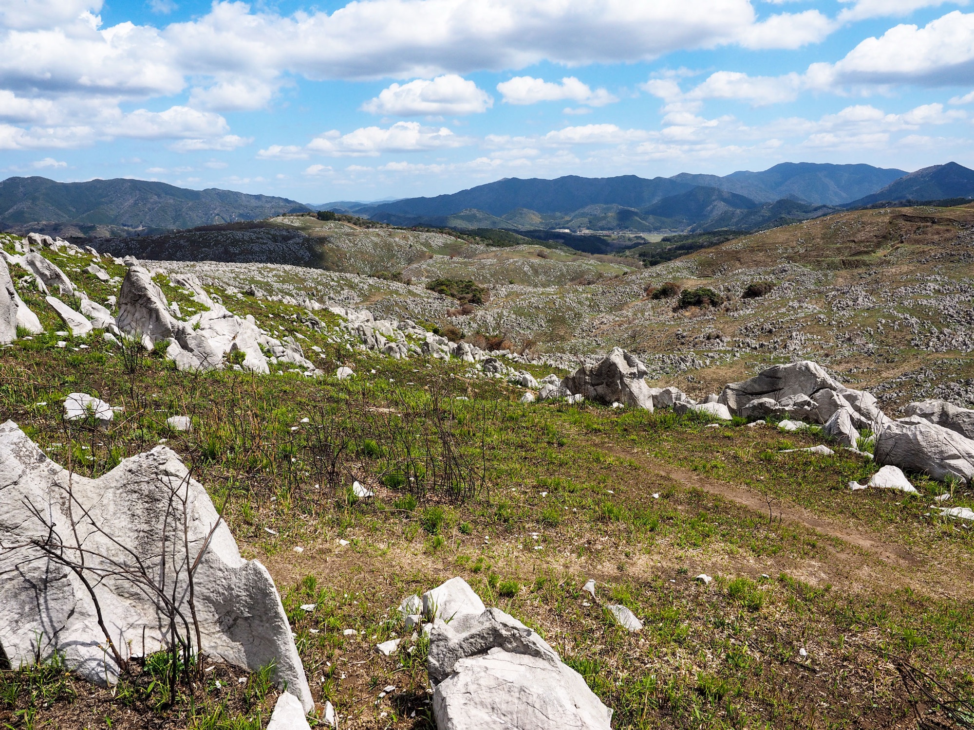
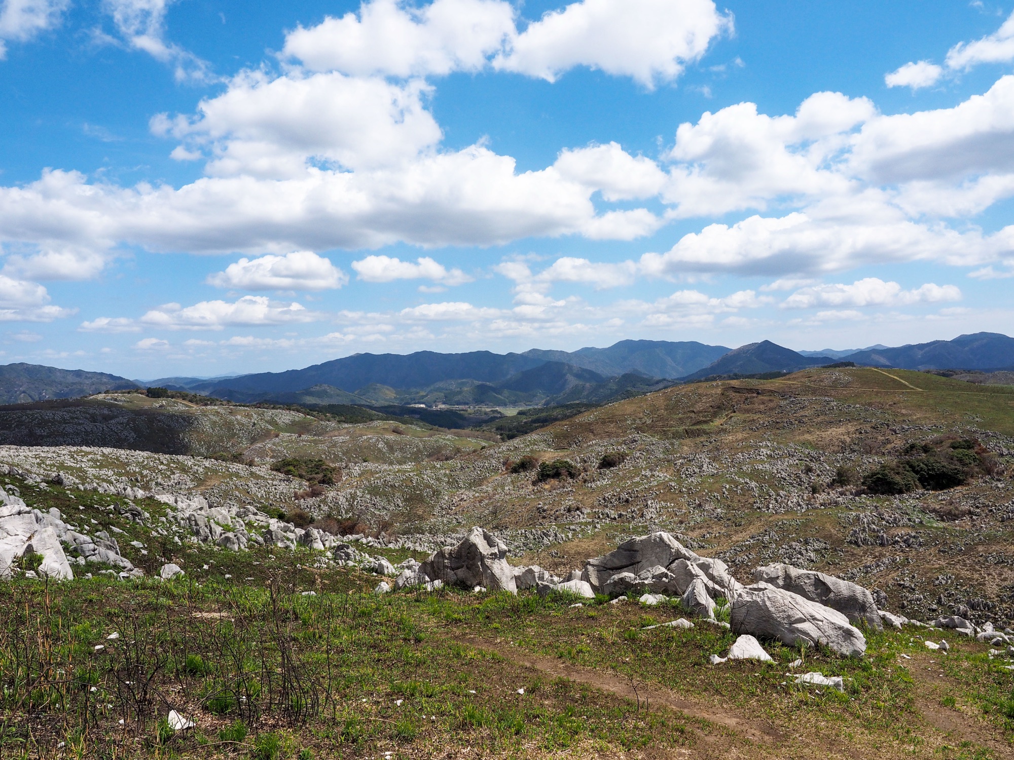
Akiyoshidai is 54 km² of grassland in the middle of Yamaguchi, white limestone pushing up through it and more than four hundred caves underneath. It has been a Special Natural Monument since 1964 and is the biggest of Japan’s three great karsts, with Hiraodai and the Shikoku Karst.
The rock started as coral reef on the sea floor 350 million years ago and was pushed up onto land. Later in the same month we walked it, Mine-Akiyoshidai became Japan’s eleventh UNESCO Global Geopark.
There are two trailheads, at opposite corners of the plateau. This is the northern one; the southern one climbs Mount Ryūgohō, the high point of the plateau.
Chōjagamori, a wood in the grassland
The car park sits off the Karst Road at the north-east edge. There are toilets and a rest area.
Five minutes along the path is Chōjagamori: a tight stand of trees marooned in open grass, the only shade for a couple of kilometres. Local stories make it a rich man’s estate that turned back into forest, or the refuge of a Heike soldier who escaped Dan-no-ura. From there the ground climbs.
Up to Jigokudai
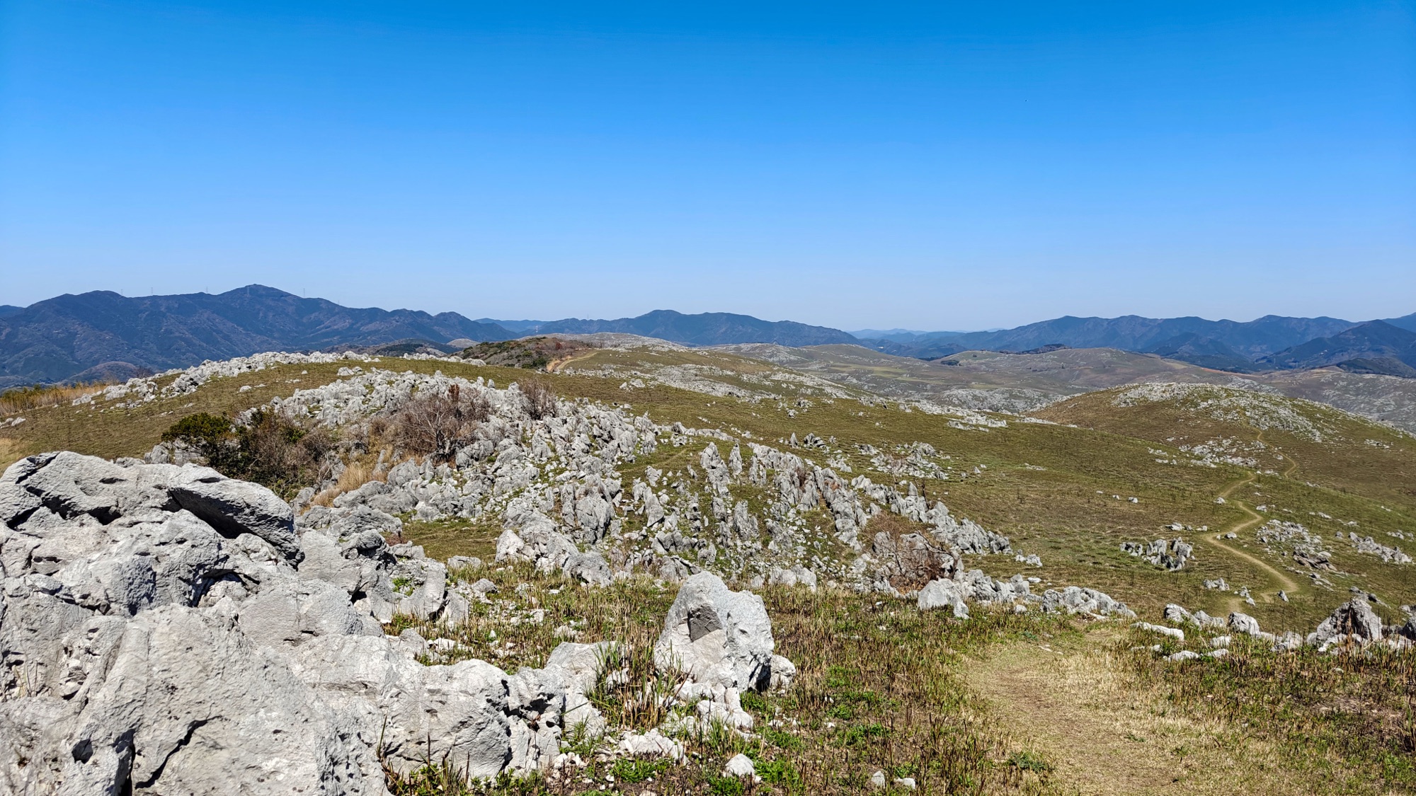
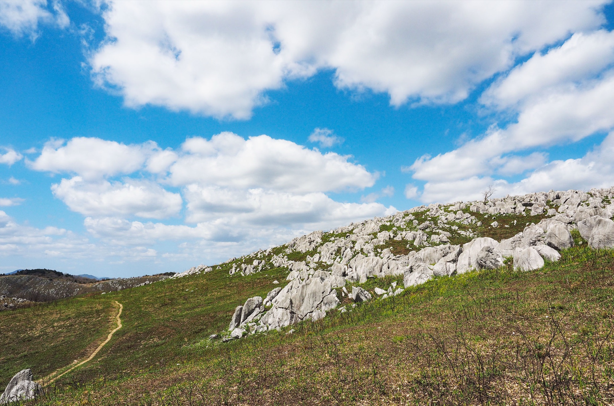
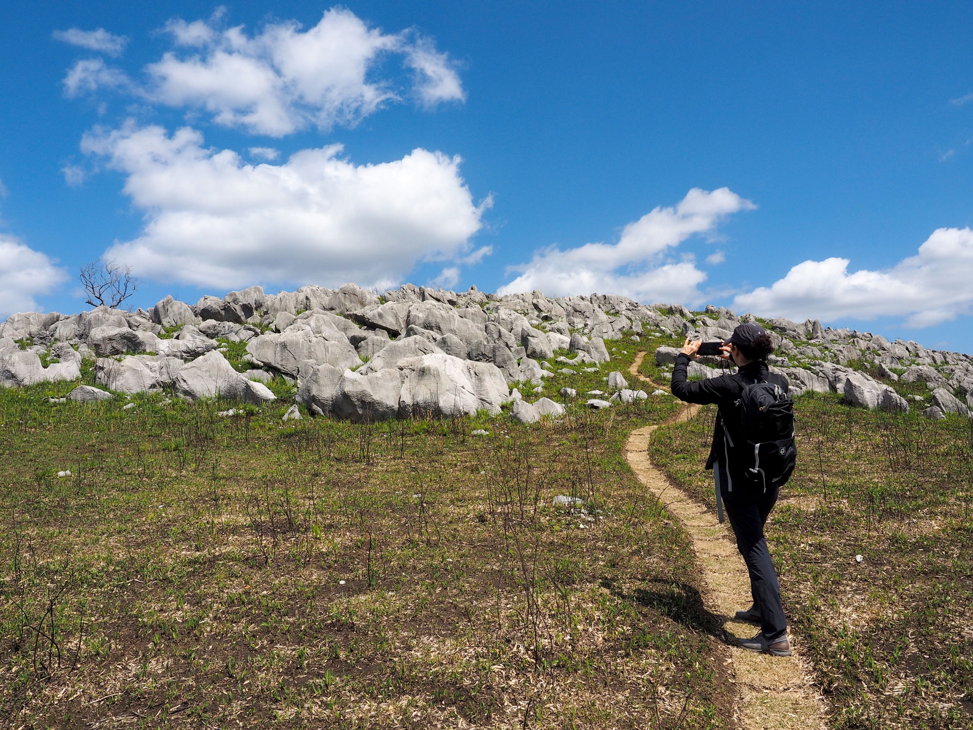
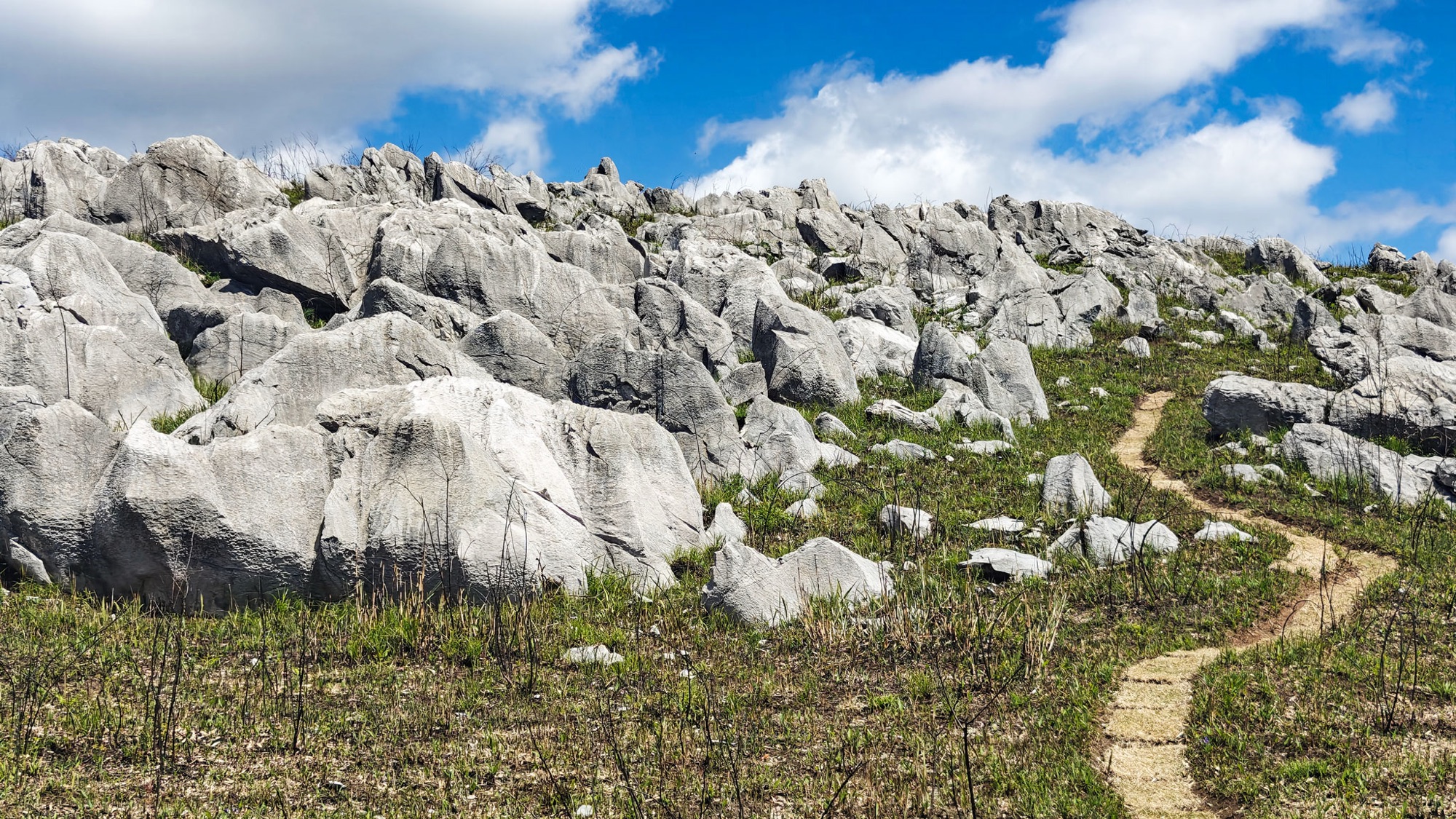
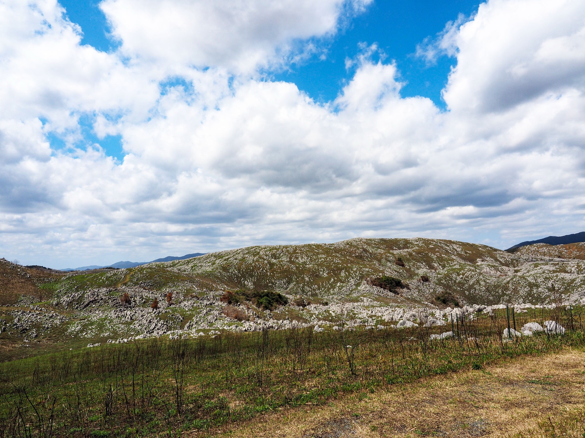
Above Chōjagamori the limestone arrives in quantity: first blocks in the turf, then reefs standing along the crest with the track threading between them. Past the pine at Ryōgo-no-matsu it is rock nearly all the way.
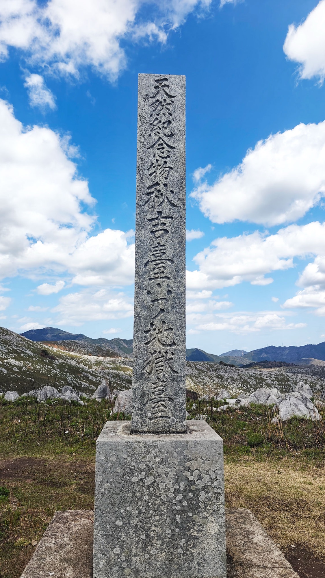
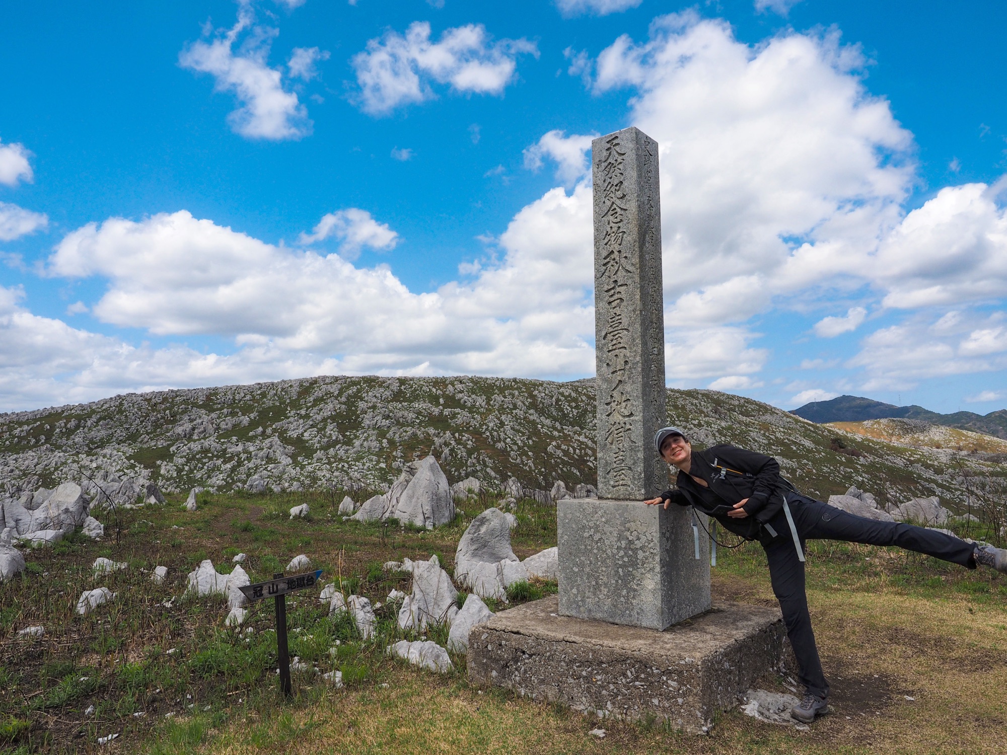
Jigokudai (地獄台), 409 m, is the top of the walk and the best of that rock. The name means hell terrace. The blocks are two or three metres high, rain has cut them into vertical flutes, and the wooden sign is fixed at the foot of one of them. An older stone pillar down the slope names Jigokudai a natural monument in pre-war characters.


Mount Kanmuri and Mount Kita
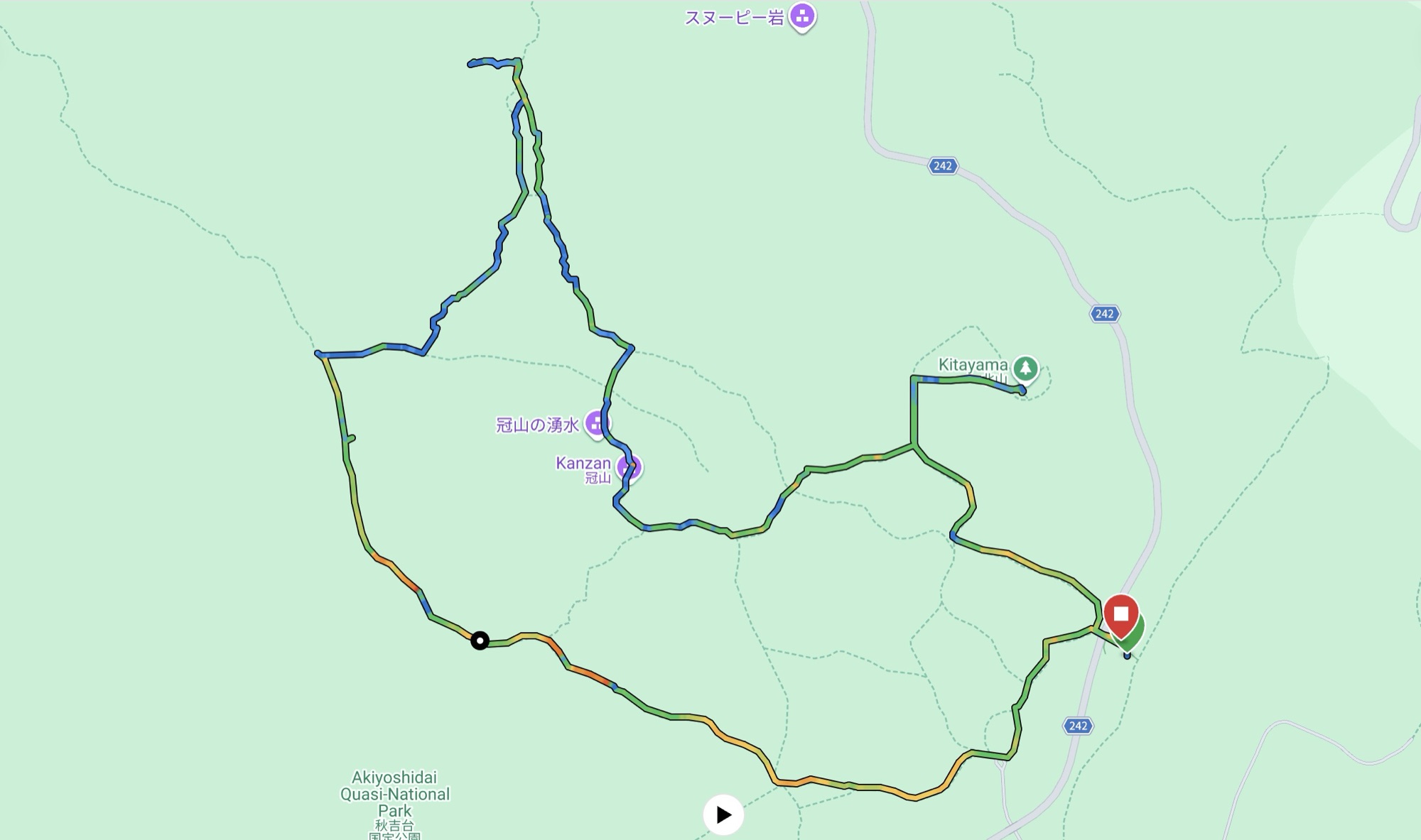
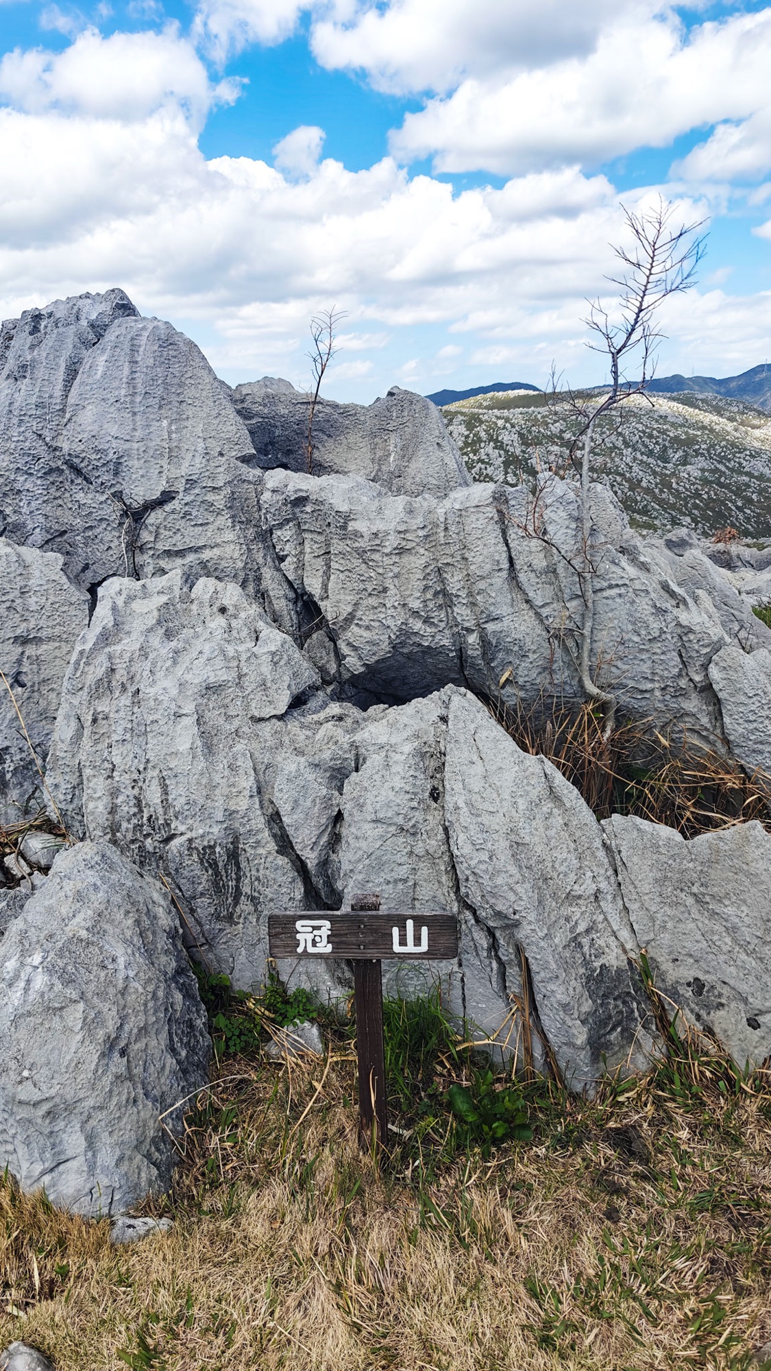
The course turns south to Mount Kanmuri (冠山, 377 m), where the sign stands in a jumble of blocks and dead trees, then swings east to Mount Kita (北山, 367.6 m).
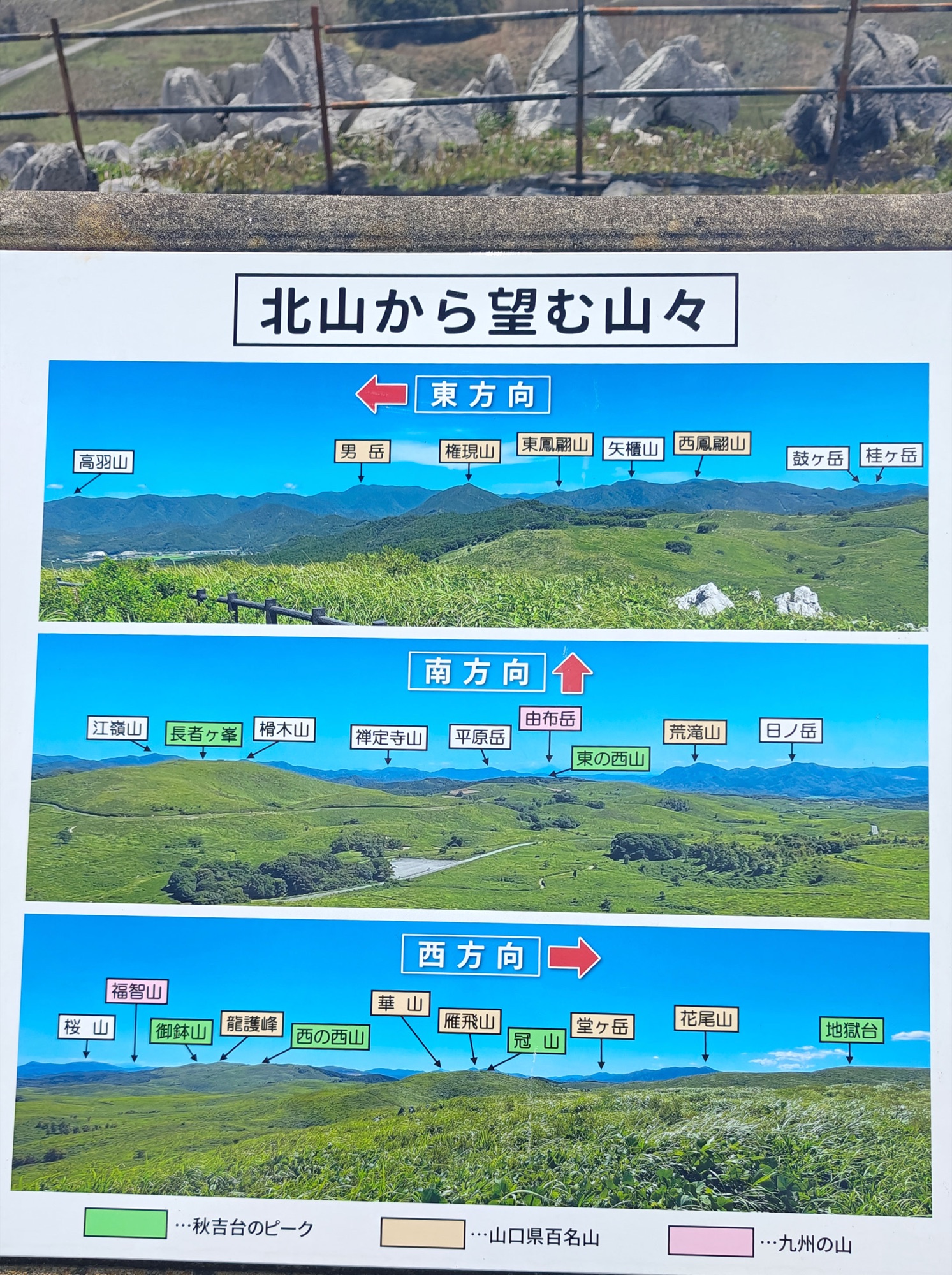
Mount Kita has a photo board naming the view in three directions. The west panel lists Ryūgohō, Ohachi and Nishinonishi, which are the other walk. The south panel labels mountains in Kyushu, Mount Yufu among them.

Down past the deer
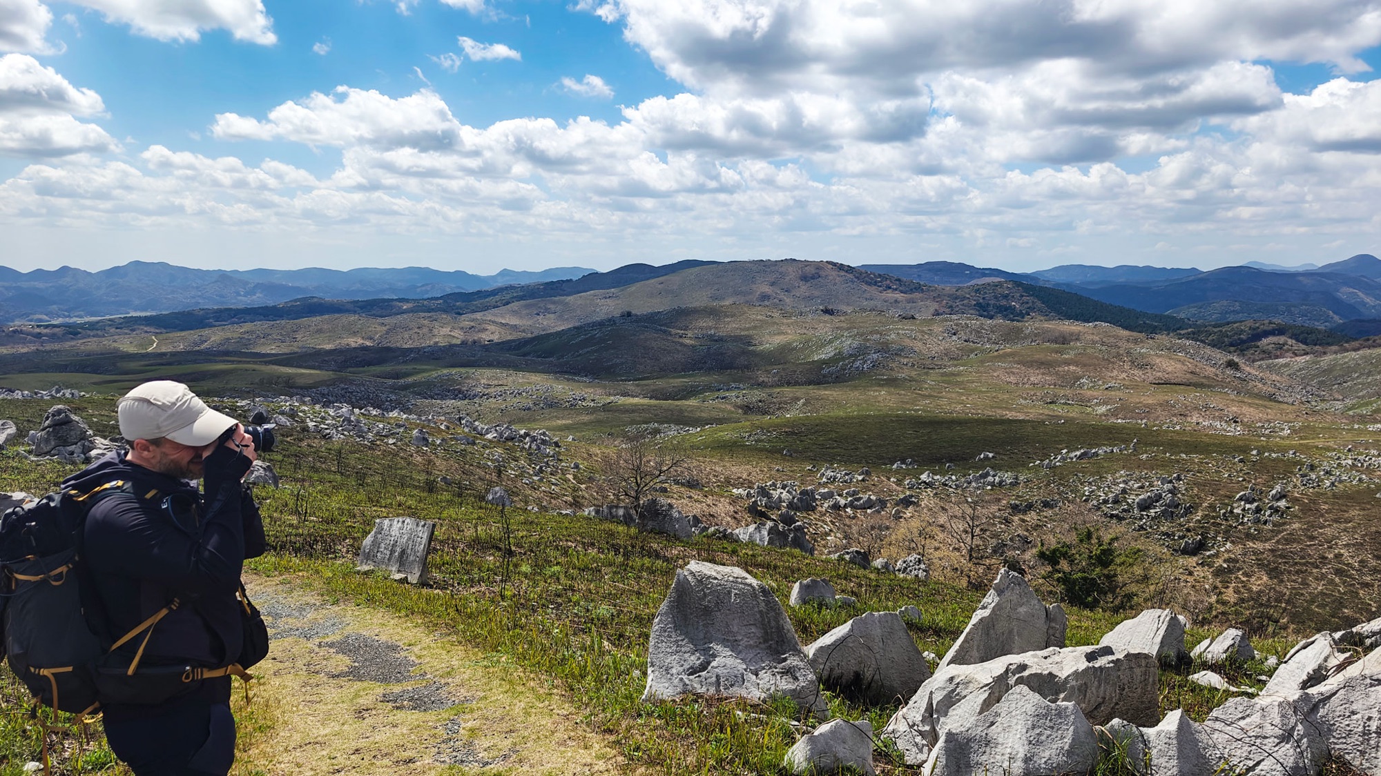
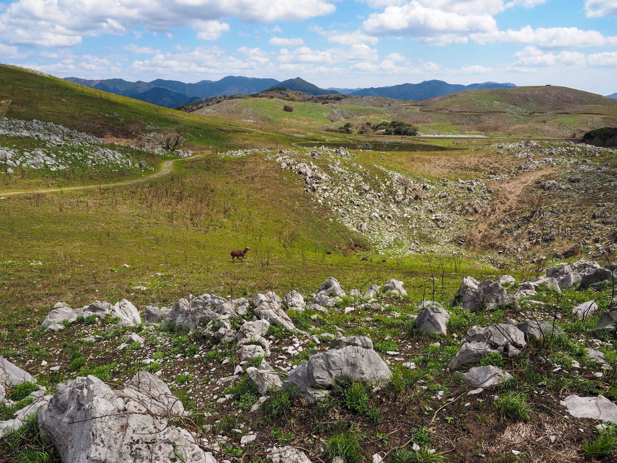
The last stretch drops off Mount Kita to the car park. Partway down four deer came out of the slope below the path and ran over the lip of a hollow.
It is a short, easy walk and left us the afternoon.

After the walk
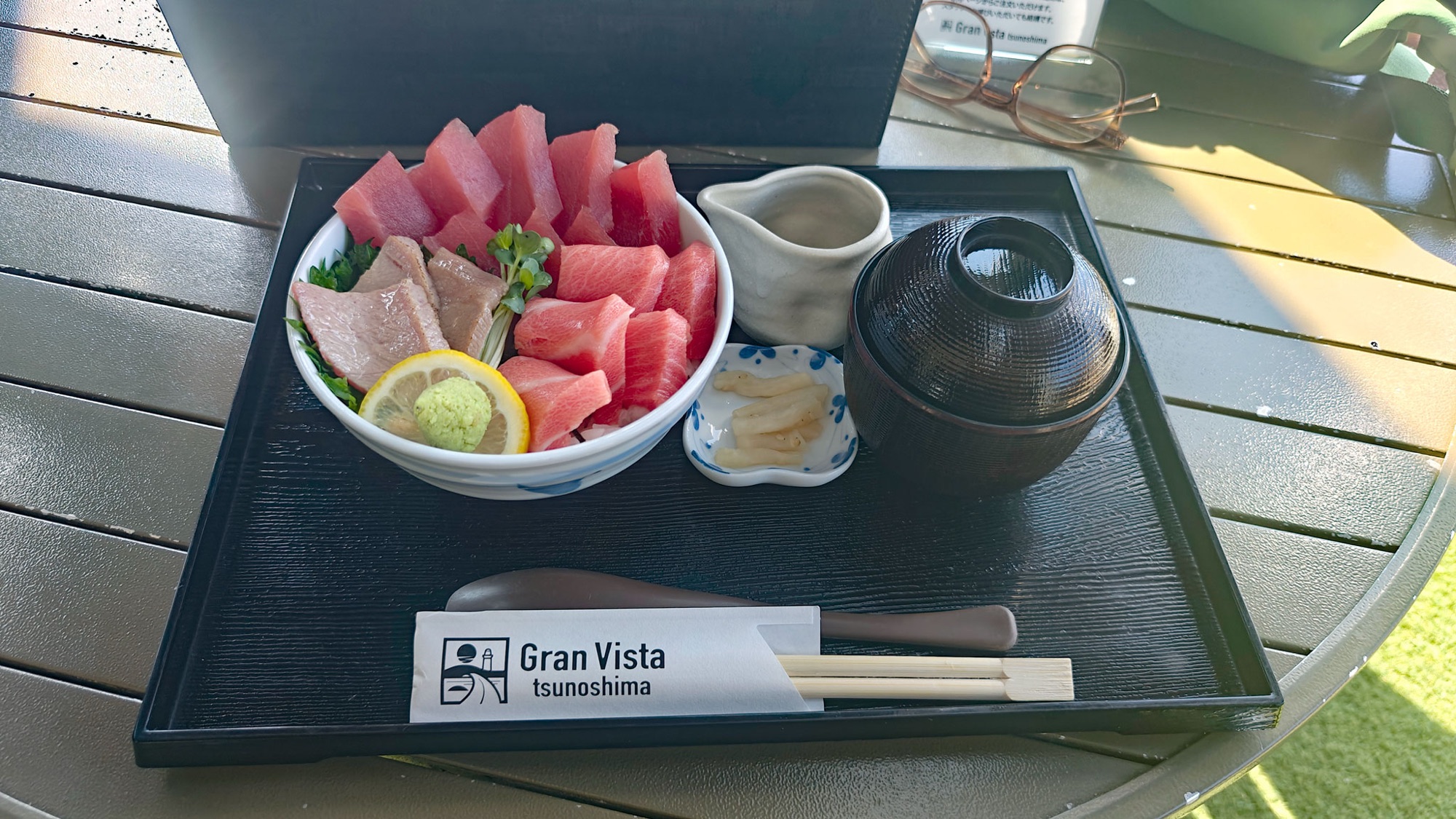
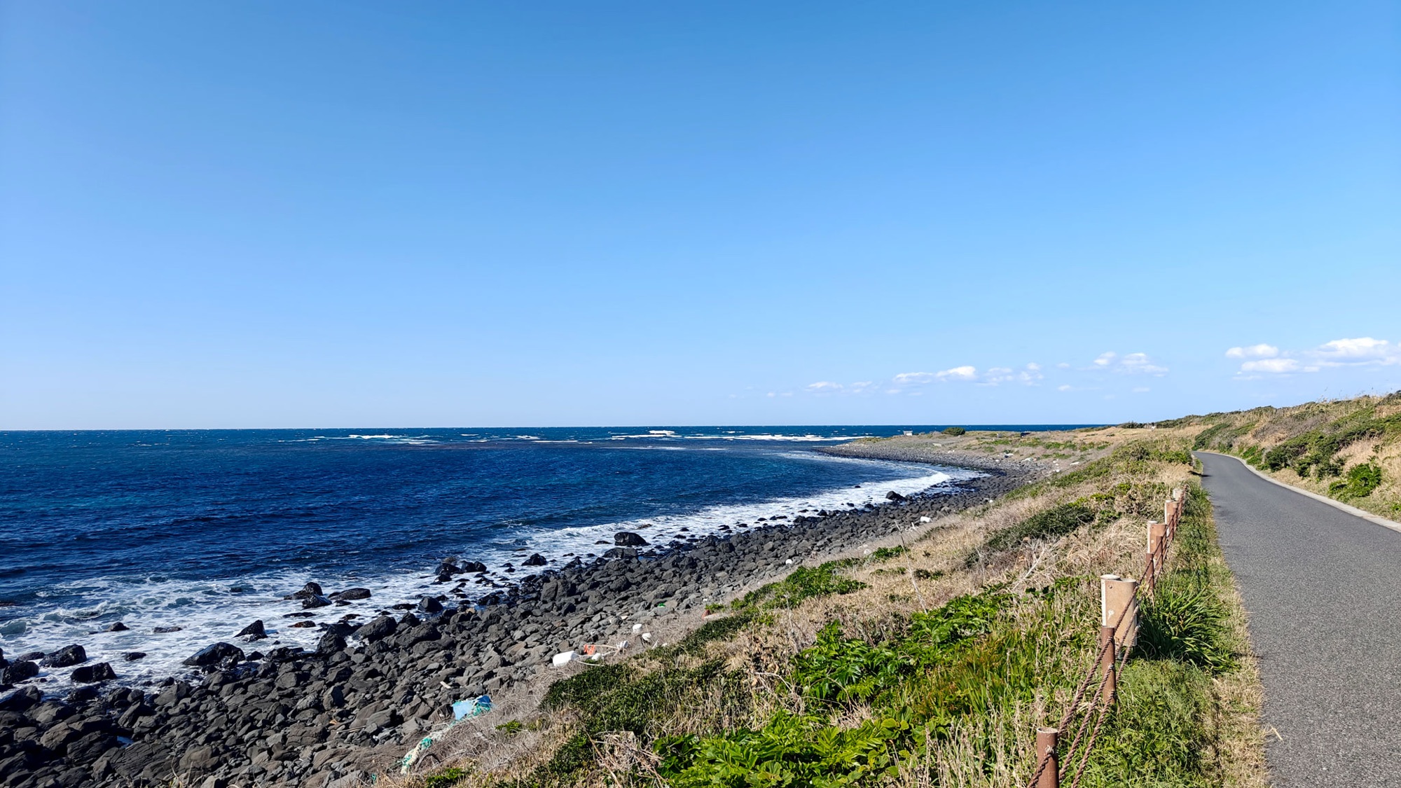
We drove north-west to the coast at Tsunoshima (角島), where we were staying nearby. Lunch was a very good tuna bowl at Gran Vista Tsunoshima (グランビスタ角島), above the beach.

Good to know
- Getting there
- Chōjagamori car park (長者ヶ森駐車場), on the Karst Road, prefectural route 242. Free.
- Toilets. No shops — bring food and water.
- A car is the best way to get here.
- Route
- Signposted Chōjagamori Course ①: car park → Chōjagamori → Ryōgo-no-matsu → Jigokudai → Mount Kanmuri → Mount Kita → car park.
- Official time 2 h 25.
- Ours: 5.6 km, 230 m of ascent, 1 h 23.
- Difficulty & terrain
- Easy. Grass and earth paths, one steady climb, no scrambling.
- Sharp limestone underfoot — proper shoes, keep to the path.
- No shade anywhere. Hat, sunscreen, water.
- Collecting rocks, plants and animals is prohibited in the park.
- Season
- Walked early April: short new grass, clean rock.
- Where we stayed
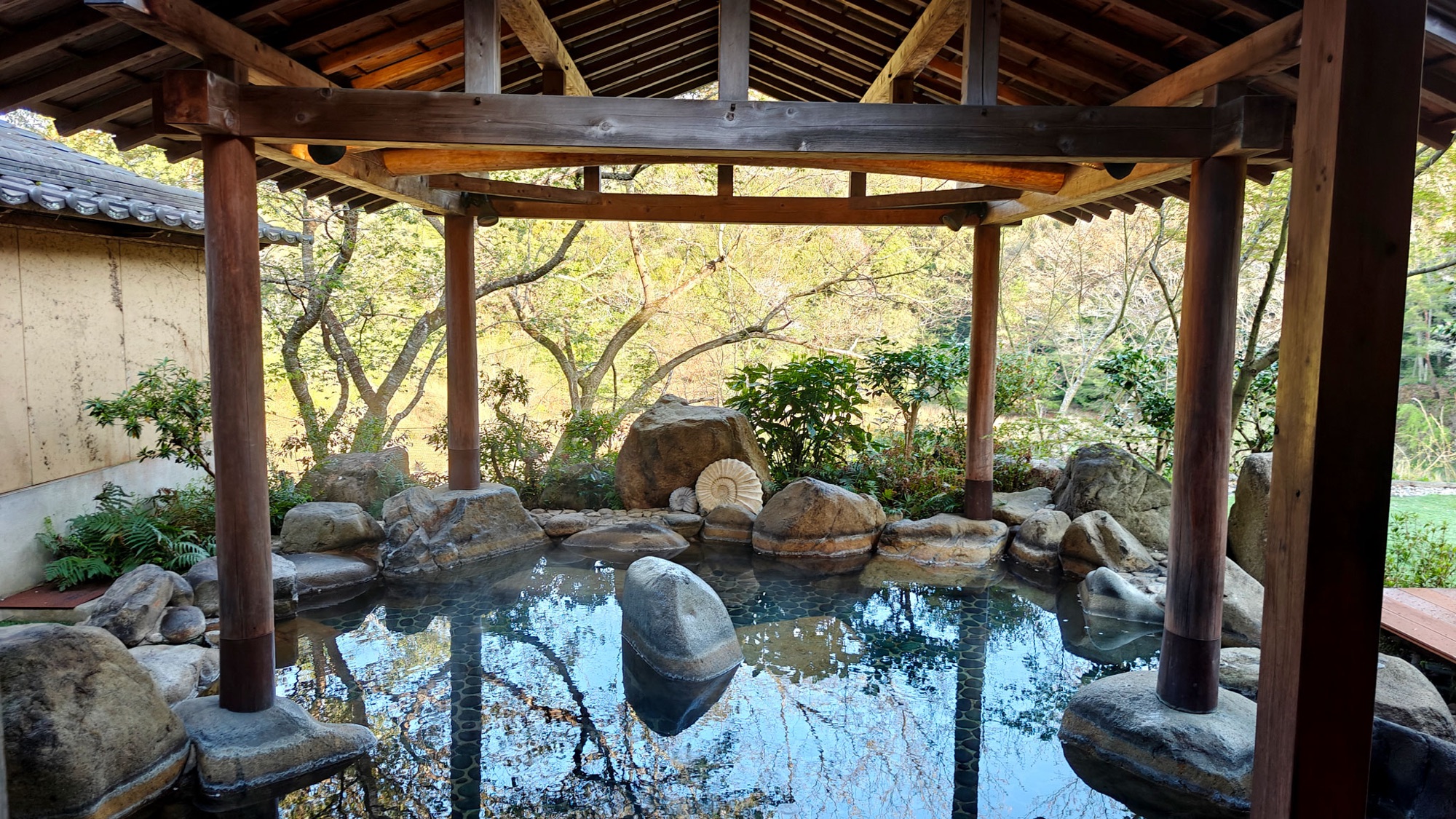
- Tenjuku no Mori Keigetsu (天宿の杜 桂月), Mine
- Hotel Yōkikan (油谷湾温泉ホテル楊貴館), Yuya Bay
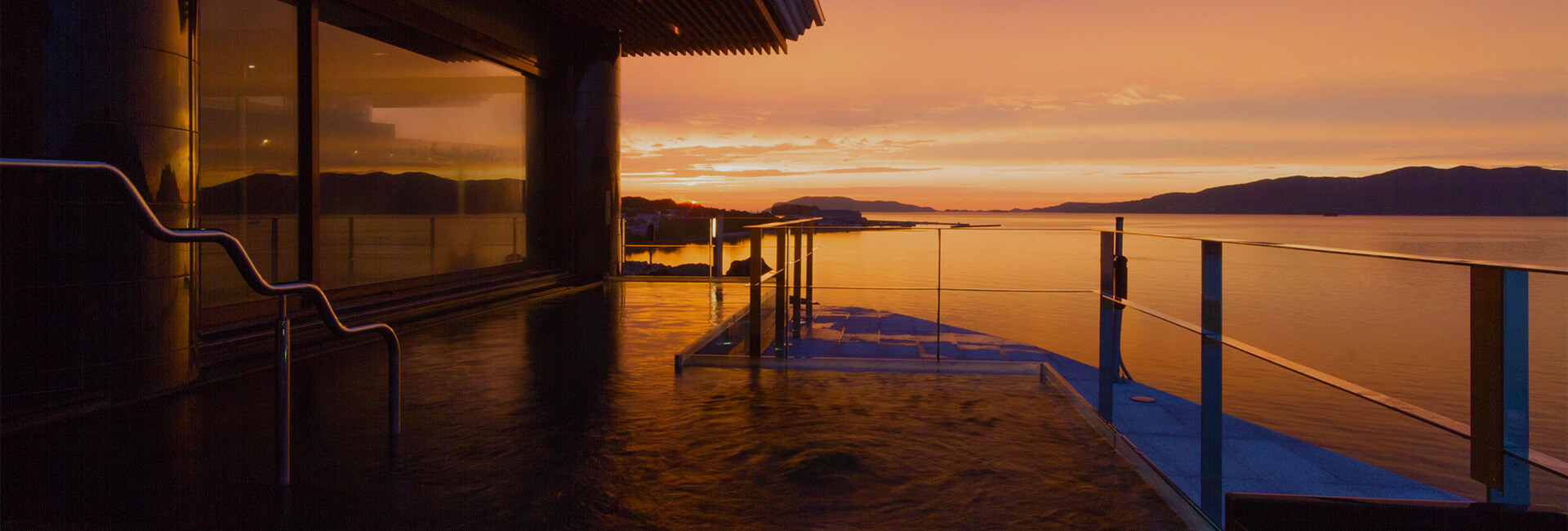
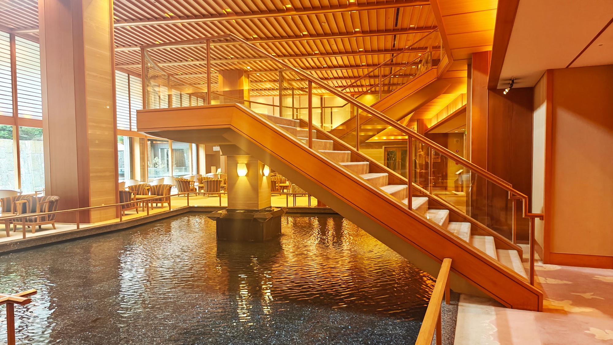
- Ōtani Sansō (大谷山荘), Nagato Yumoto Onsen
- Nearby
- Mount Ryūgohō — the other walk, twice the distance and four times the climb.
- Naganobori Copper Mine Cultural Exchange Hall (長登銅山文化交流館), Mitō. Japan’s oldest state-run copper mine.
- Akiyoshidō cave, under the south edge of the plateau. We did not go in.
- Official links
- GPX track
-
Download the GPX track of Akiyoshidai Chōjagamori walk, for your maps app or GPS watch.
- Location
-
Akiyoshidai, Yamaguchi Open in maps (external link)
- Details
-
Visited Last checked