Mount Ryūgohō hike on Akiyoshidai
龍護峰
A 13 km loop over the south-west of Akiyoshidai to Mount Ryūgohō, the high point of Japan’s largest karst plateau.
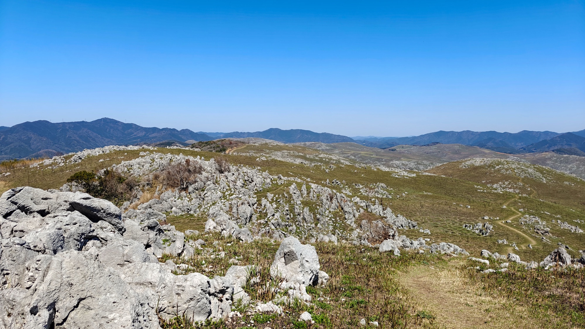
The other end of the plateau
Akiyoshidai has two trailheads at opposite corners. The Chōjagamori course does the northern hills in an easy hour and a half; this side has the three highest summits, and a lot of up and down between them.
It starts from the car park of Akiyoshidai Family Holiday Village, a campsite on the southern edge of the grassland above the Akiyoshidō cave. The signposted course takes in Ryūgohō, Ohachi and Nishinonishi in about two and a quarter hours. We walked it the other way round and added a long loop north-east across the middle of the plateau, which roughly doubled it.

Up to Mount Nishinonishi, then east
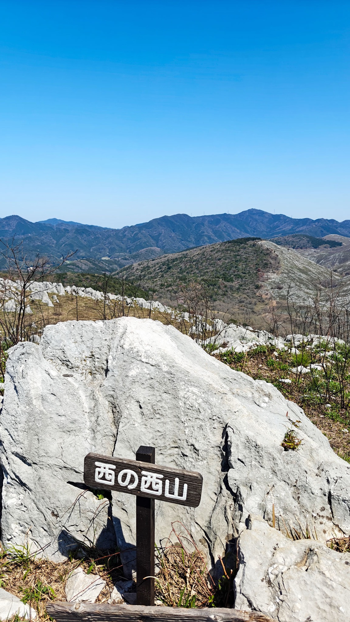
The first half hour climbs through the trees above the village. Then they stop, and the sign for Mount Nishinonishi (西の西山, 398.9 m) is bolted to a limestone block on the skyline.
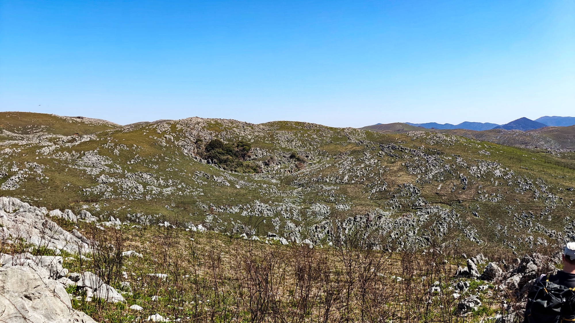
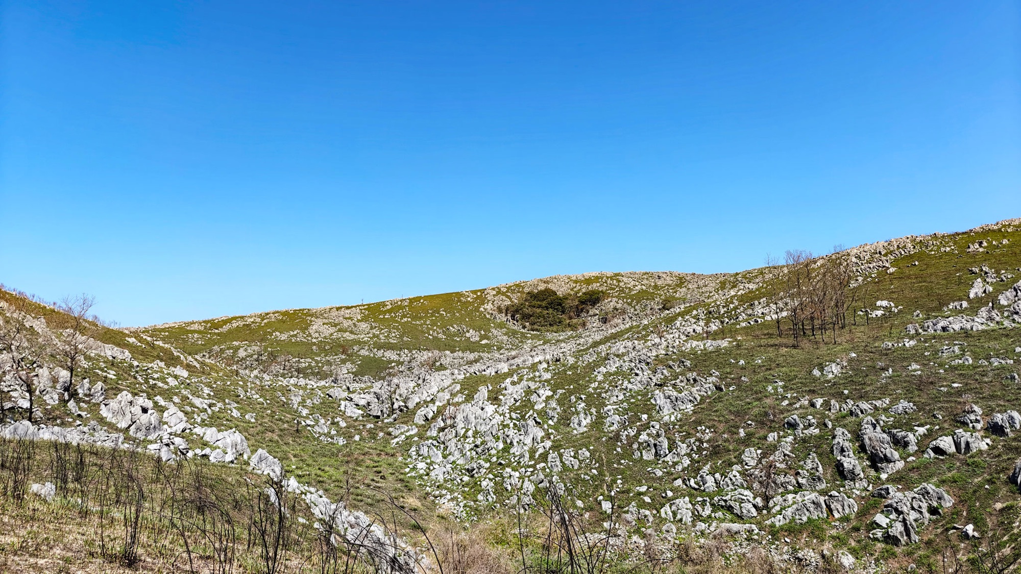
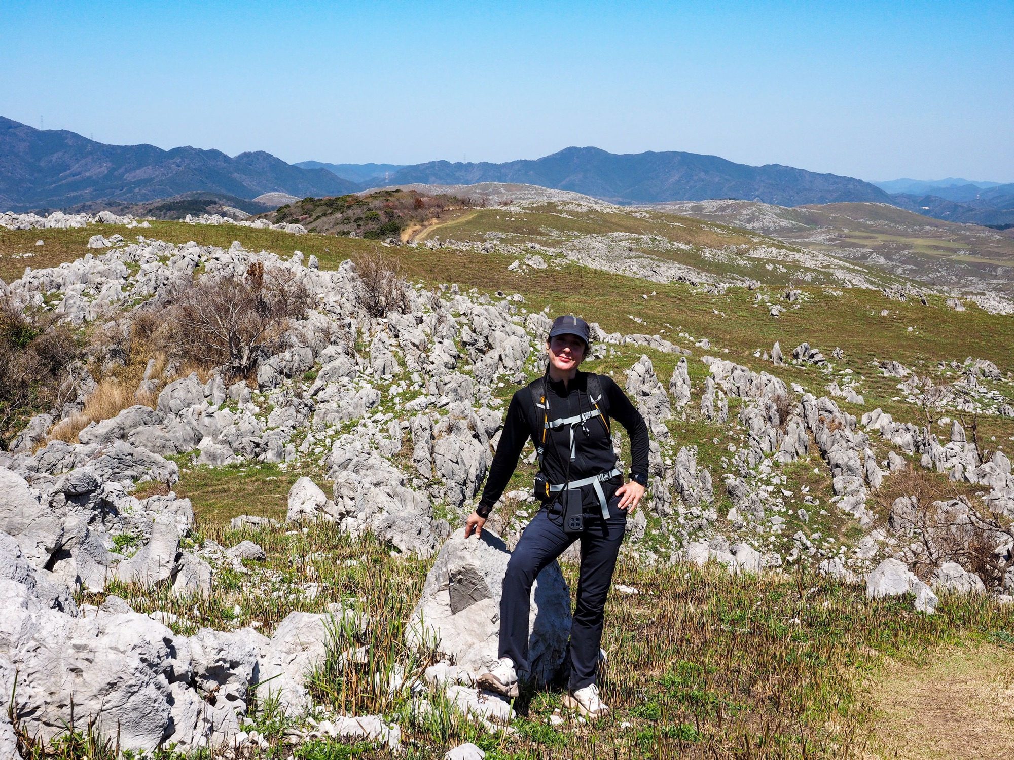
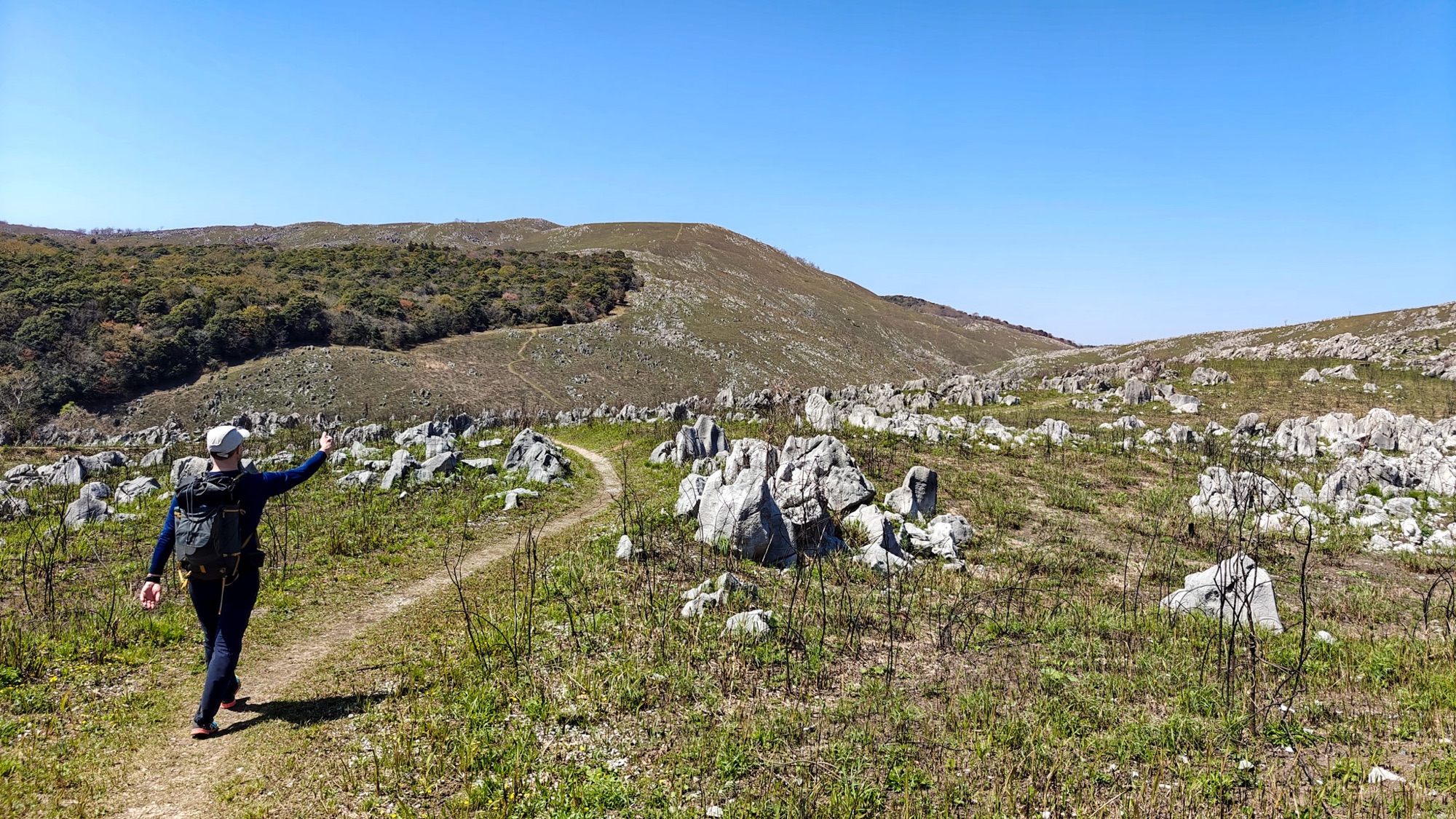
The path drops east across a run of hollows. They are dolines, where rainwater has eaten into the limestone and drained away underground; several have a wood growing in the bottom.
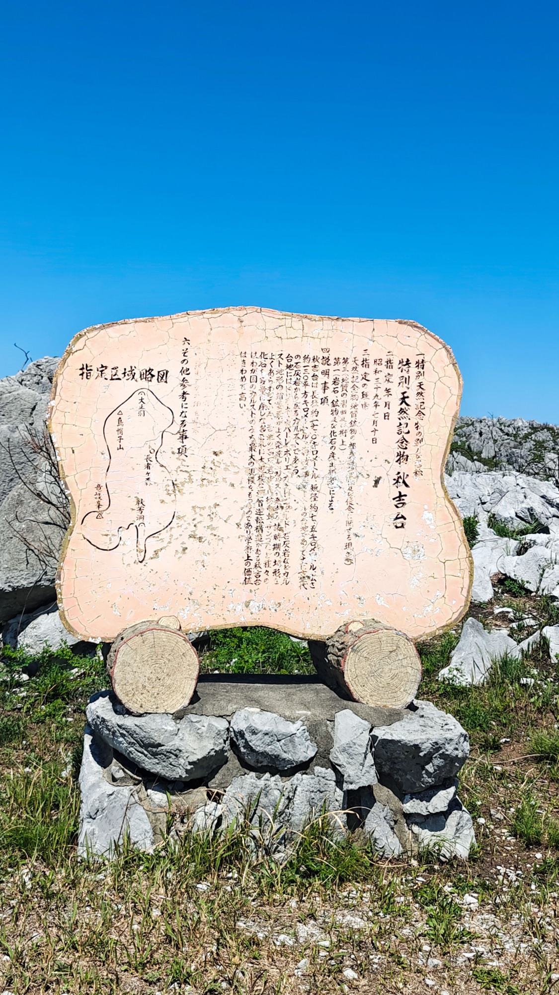
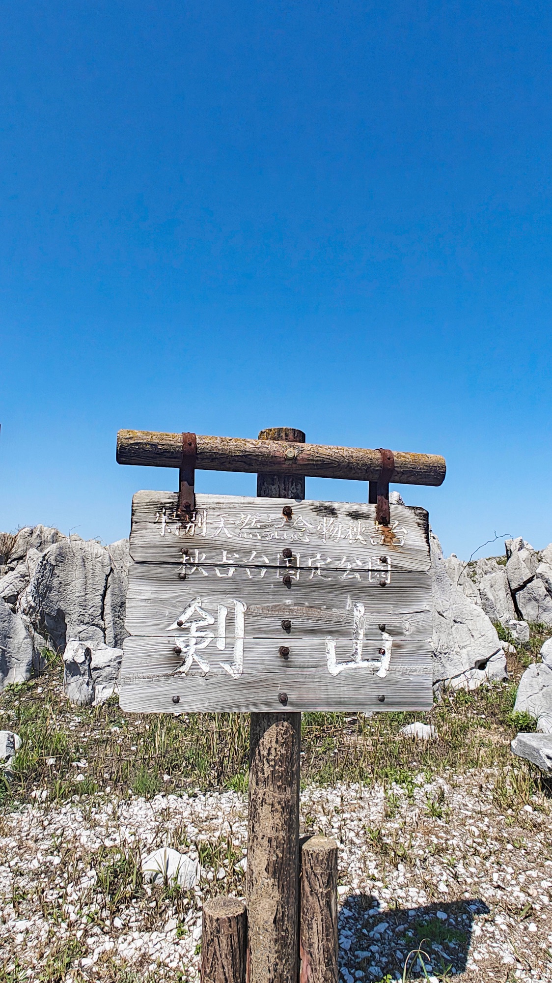
Three markers stand together on Mount Tsurugi (剣山): a wooden board naming the peak, a stone tablet with a map of the protected area and the date Akiyoshidai was designated a Special Natural Monument, and a granite pillar inscribed by a governor of Yamaguchi.
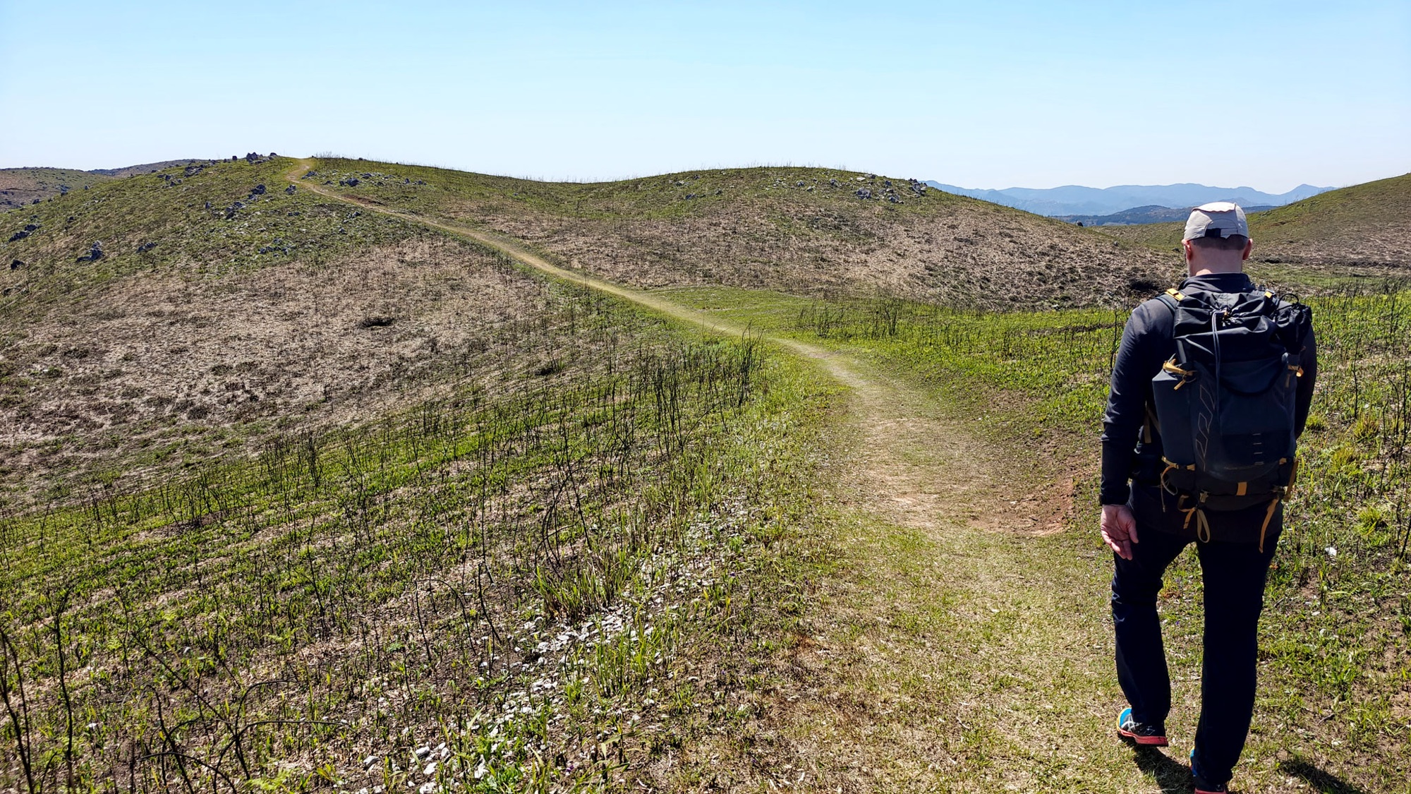
Instead of turning for home we carried on north-east over bare grass domes, until the loop ran onto the previous day’s track a few hundred metres short of the Chōjagamori car park. Then we turned round.


Back west, and Mount Ohachi
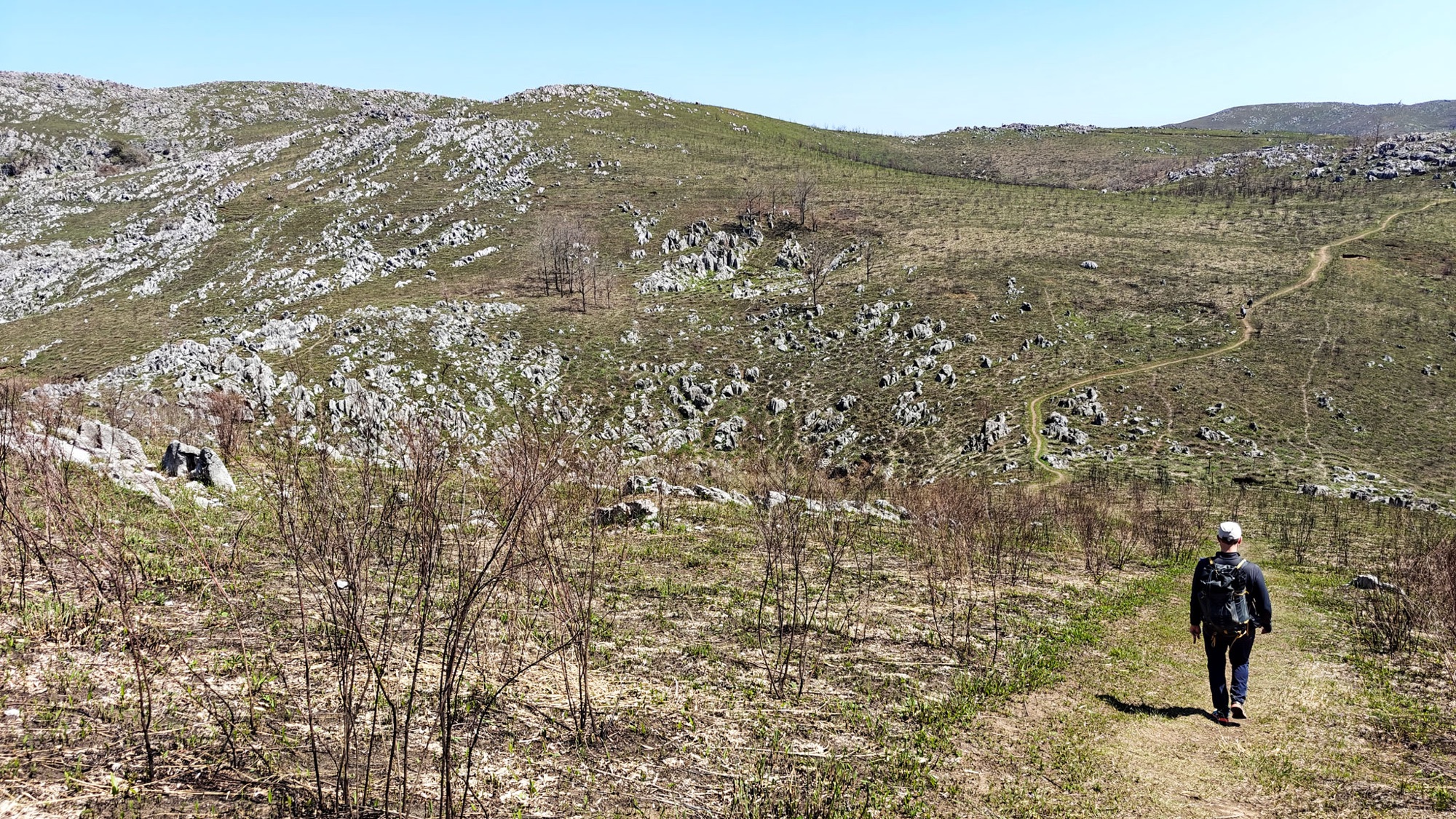
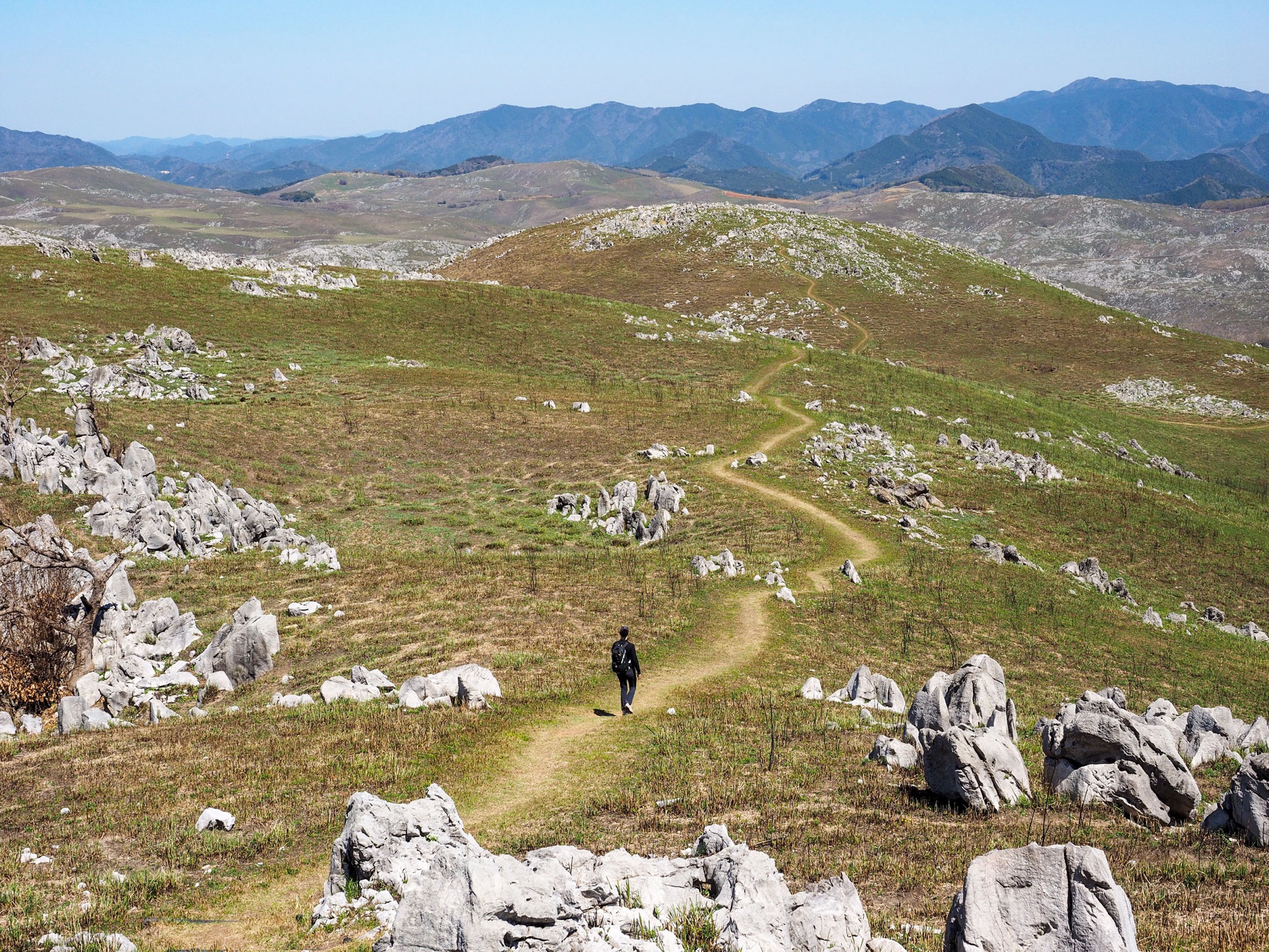
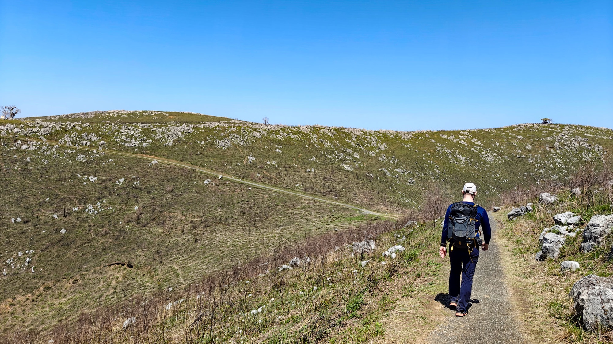
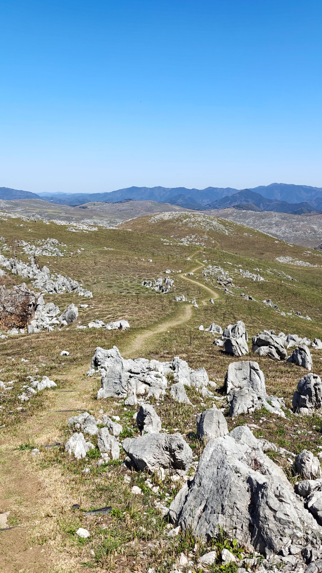
The way back is the long part of the day: grass tracks curving round one hillside after another, the far side of the plateau slow to arrive. The climbing comes here, in twenty- and thirty-metre bites.
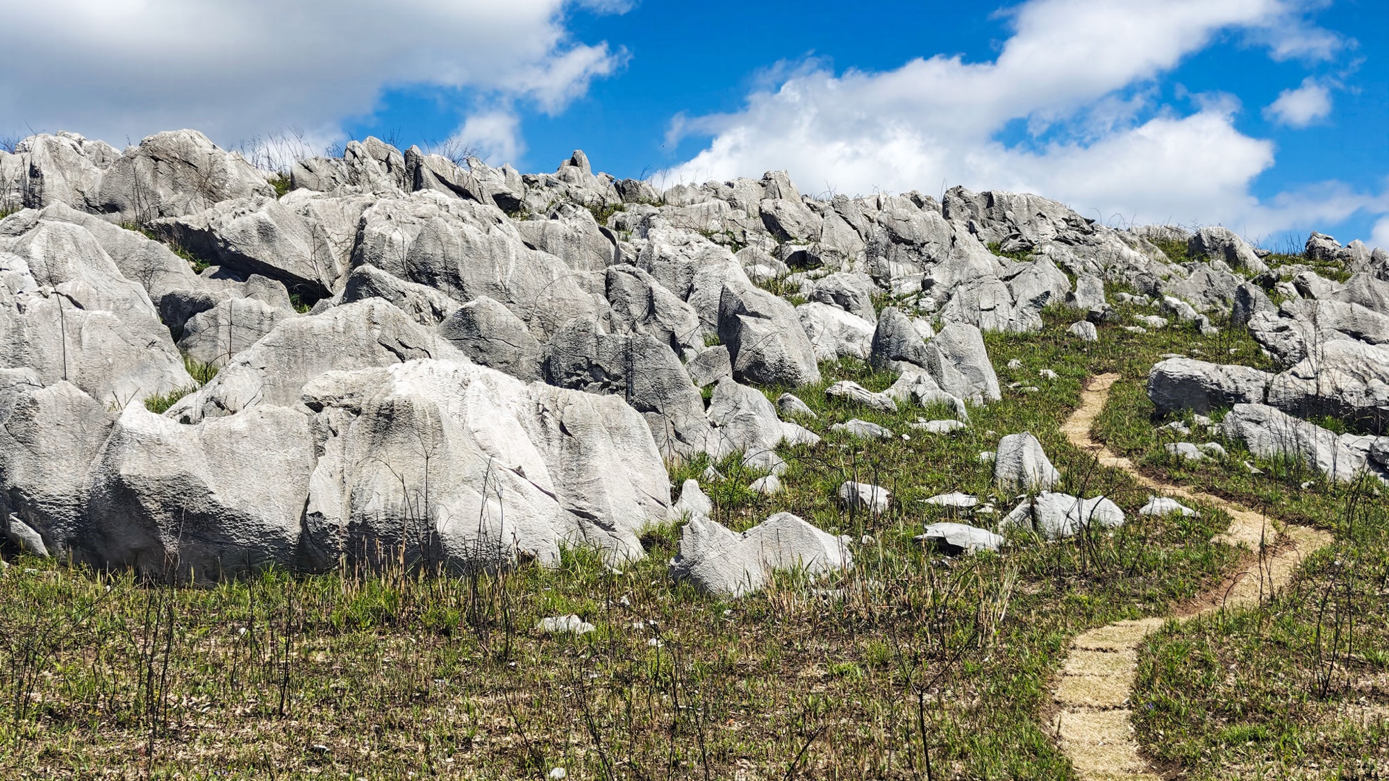
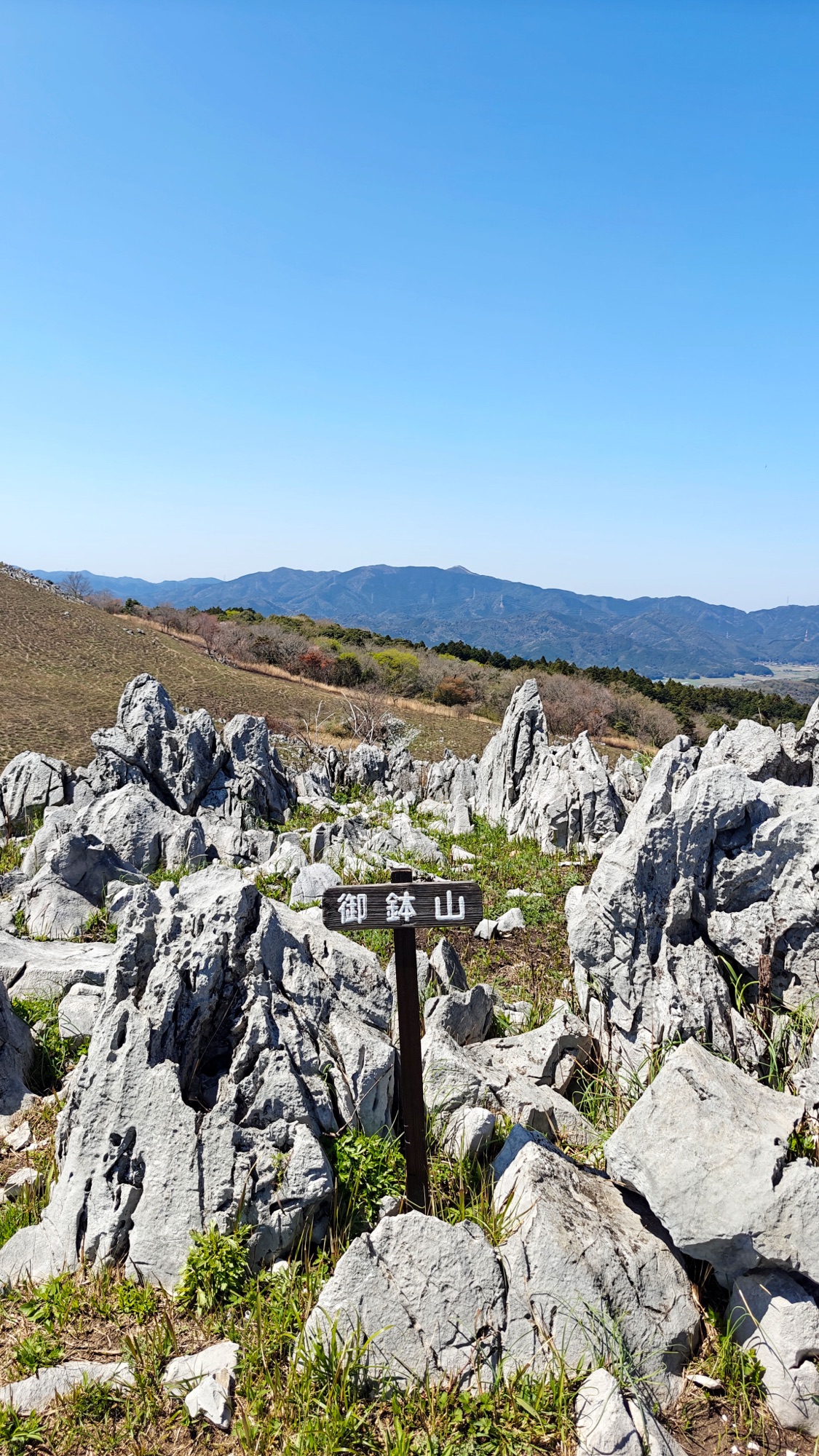
Then the ground rises into the densest limestone of either walk. Mount Ohachi (御鉢山, 406 m) is a field of grey pinnacles standing shoulder-high in the grass, packed tight enough that the sign has barely room to stand.
Mount Ryūgohō, 425.5 m
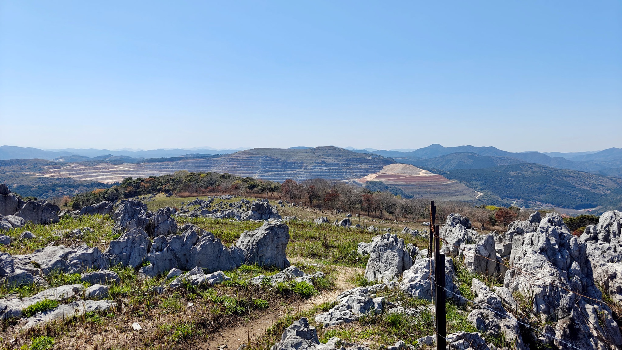
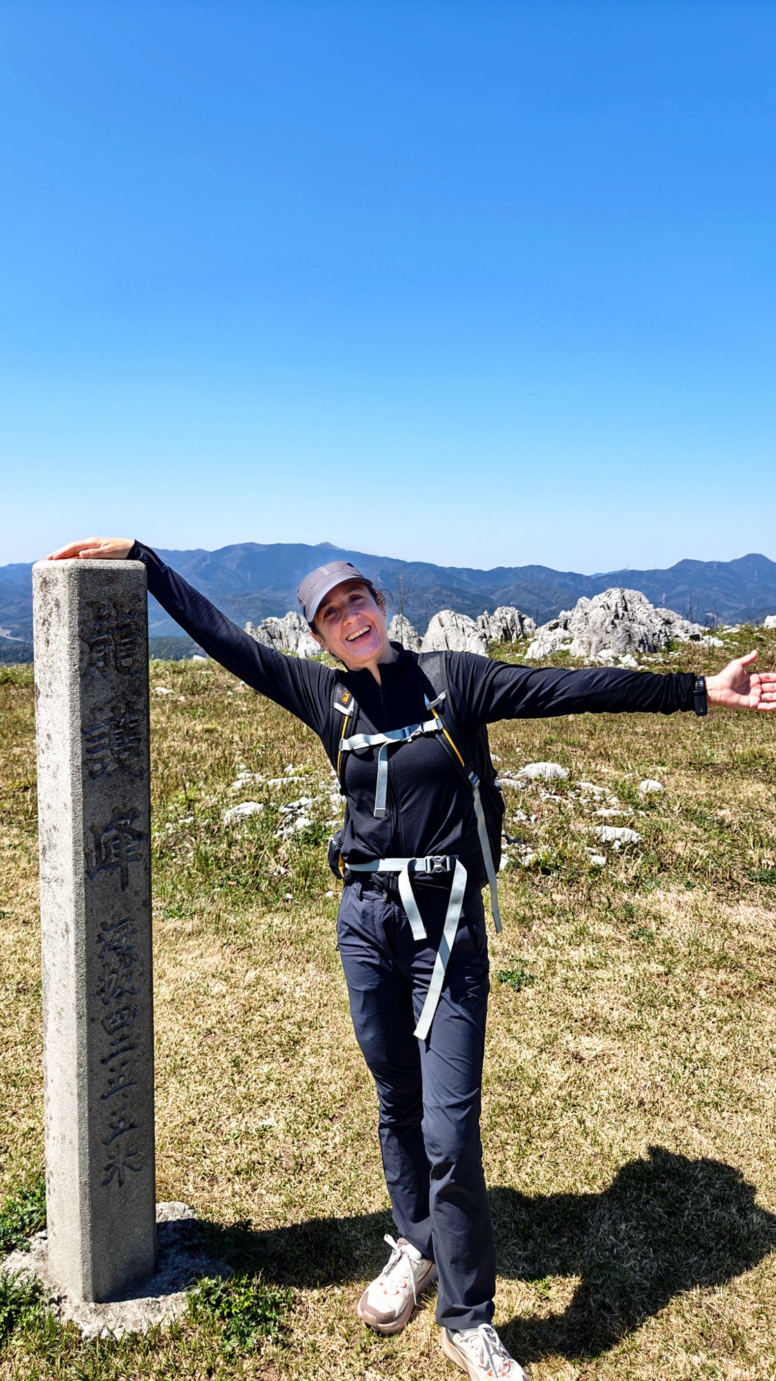
Ten minutes on is the top of Akiyoshidai. Ryūgohō (龍護峰) is marked by a granite pillar with the height cut into it, 四二五・五米, and the summit is grass rather than rock, so the view goes round without interruption. Across the valley the same limestone is being taken out of a hillside in pale terraces.
The way down is quick, back through the rock and then into the trees.

After the hike
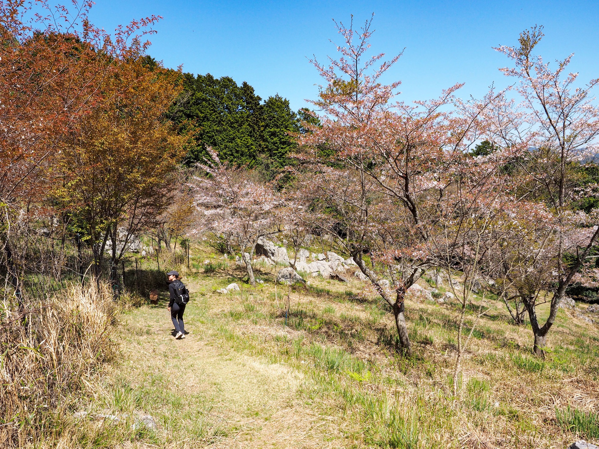
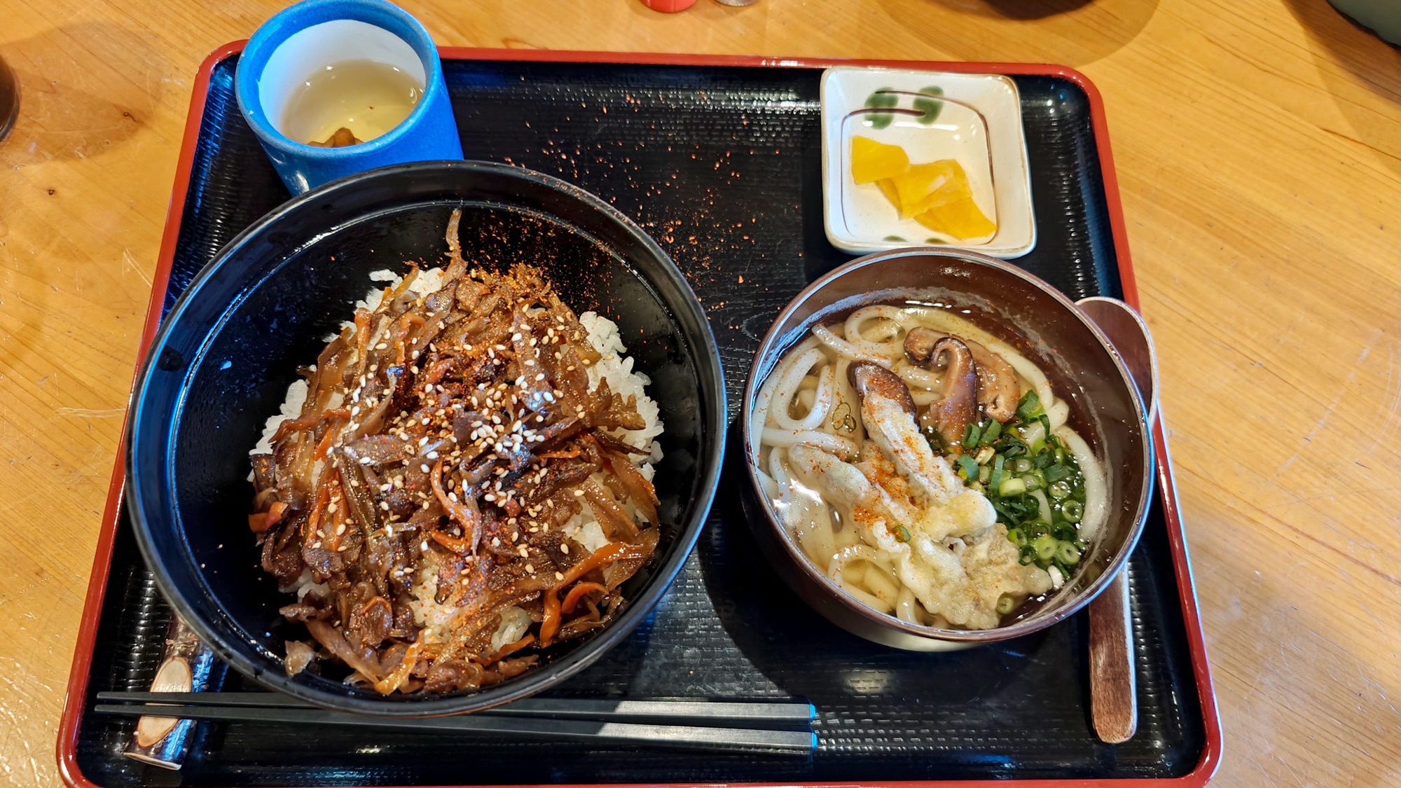
The last of the descent runs down through cherry trees, in blossom in early April. We ate at the Log House Canteen back at the holiday village, which stops serving at two; we got in with minutes to spare.

Good to know
- Getting there
- Car park of Akiyoshidai Family Holiday Village (秋吉台家族旅行村), signed off the road above the Akiyoshidō cave. Free.
- Toilets and a canteen at the trailhead. Nothing out on the plateau — take water with you.
- A car is the best way to get here.
- Route
- Signposted Kazokuryokō-mura course: car park → Mount Ryūgohō → Mount Ohachi → Mount Nishinonishi → car park.
- Official time about 2 h 15.
- Ours, walked in reverse and extended north-east by way of Mount Tsurugi: 13.1 km, 694 m of ascent, 3 h 17.
- Difficulty & terrain
- Moderate, and harder than it looks on the map. Nothing technical, but the ascent comes in constant short climbs.
- Grass and earth underfoot, sharp limestone alongside and sometimes across the path — proper shoes, keep to the track.
- No shade above the treeline.
- Food at the trailhead
- Log House Canteen (秋吉台家族旅行村 ログハウス食堂), 11:00–14:00 only. Udon, soba, rice bowls, usually under ¥1,000.
- Season
- Walked early April: grass short after the February burn, cherry still out above the car park.
- Where we stayed
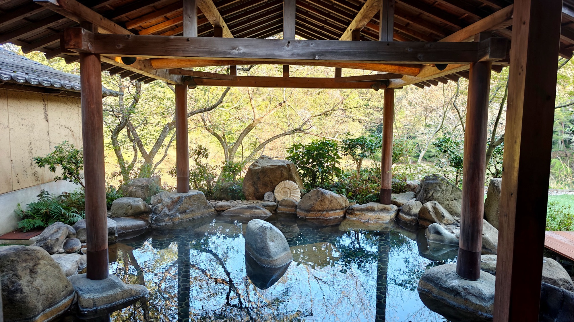
- Tenjuku no Mori Keigetsu (天宿の杜 桂月), Mine
- Hotel Yōkikan (油谷湾温泉ホテル楊貴館), Yuya Bay
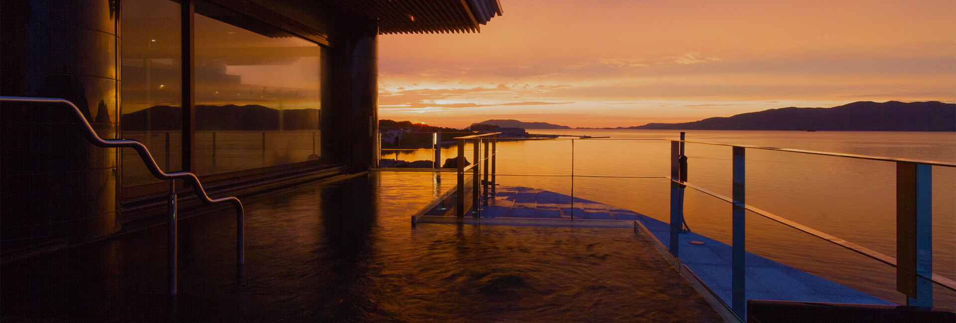
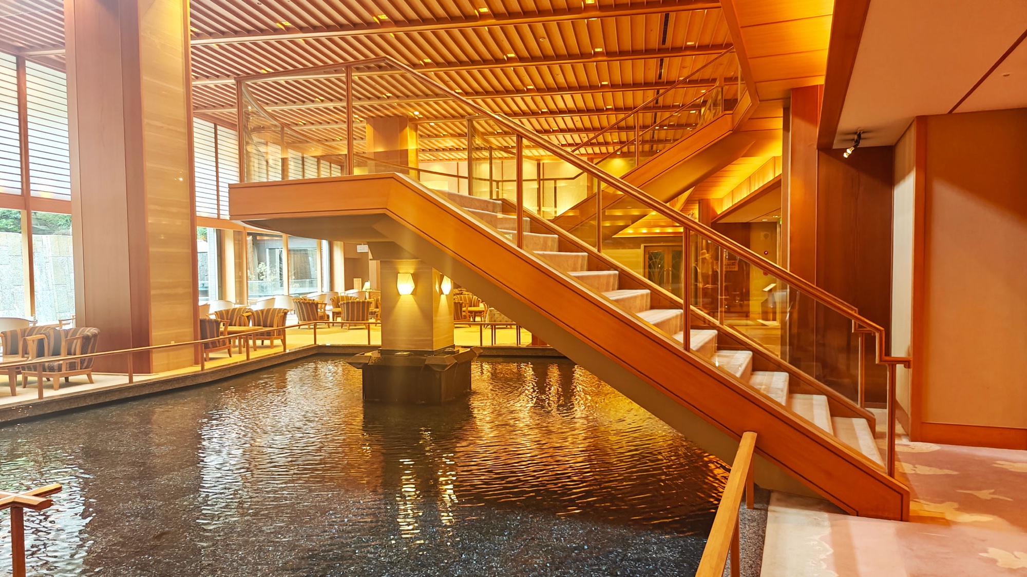
- Ōtani Sansō (大谷山荘), Nagato Yumoto Onsen
- Nearby
- Chōjagamori — a short loop at the north-east corner over Jigokudai, Mount Kanmuri and Mount Kita.
- Naganobori Copper Mine Cultural Exchange Hall (長登銅山文化交流館), Mitō. Japan’s oldest state-run copper mine.
- Akiyoshidō cave, a few minutes below the trailhead. We did not go in.
- Official links
- GPX track
-
Download the GPX track of Mount Ryūgohō hike on Akiyoshidai, for your maps app or GPS watch.
- Location
-
Akiyoshidai, Yamaguchi Open in maps (external link)
- Details
-
Visited Last checked