Nakanohama to Jodogahama: Miyako section of the Michinoku Coastal Trail
みちのく潮風トレイル
Day hike along the wildest stretch of the Miyako section of the Michinoku Coastal Trail
Michinoku Coastal Trail
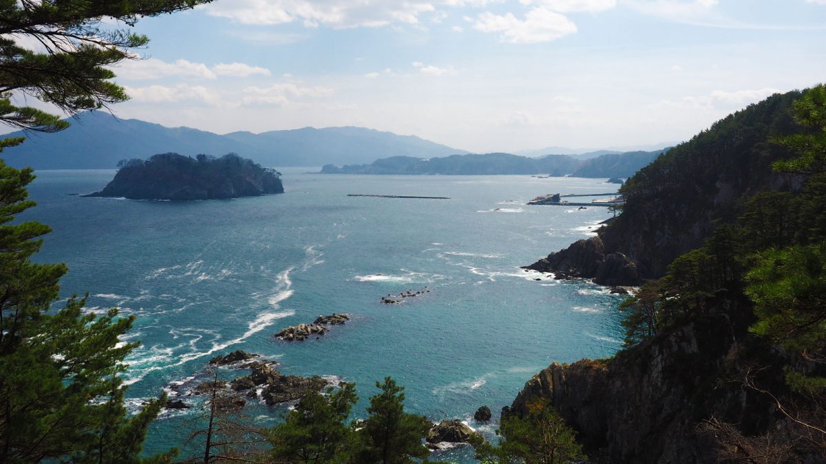
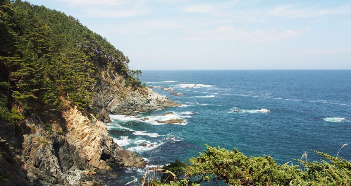
The Nakanohama to Jodogahama walk is part of the Michinoku Coastal Trail, a 1,000-kilometre route along the northeastern Pacific coast built as part of the reconstruction effort after the 2011 earthquake and tsunami. This was the wildest and most rewarding of the three sections we walked.
The hike from Nakanohama to Jodogahama
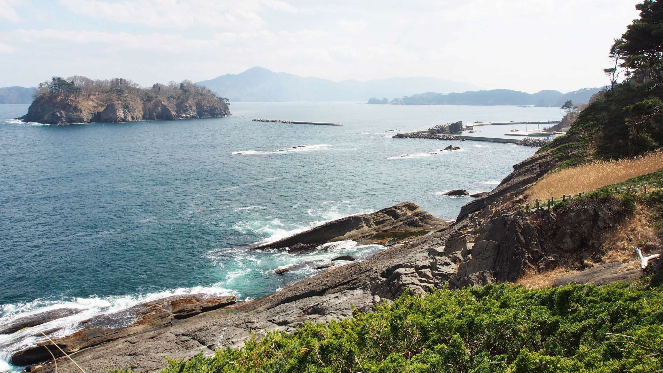
The official section here is called Taro to Jodogahama, starting at Shintaro Station and covering around 22.5 kilometres south along the coast. We joined it mid-route, taking a bus from Miyako Station to the Nakanohama bus stop and walking around 20 mins (1,5 km) downhill to reach the coast.
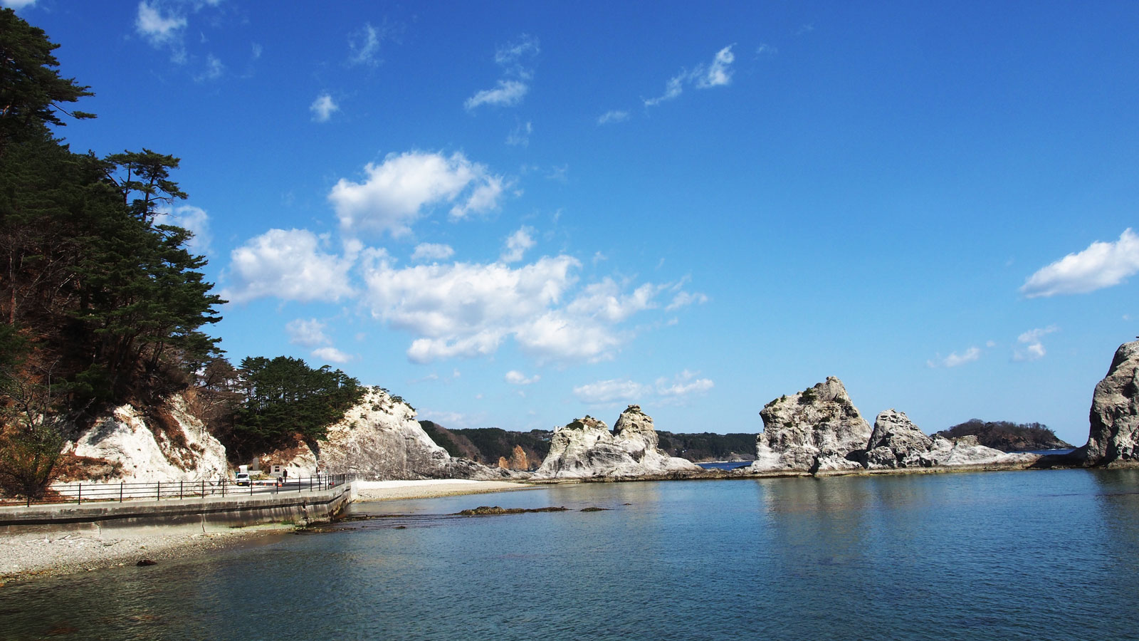
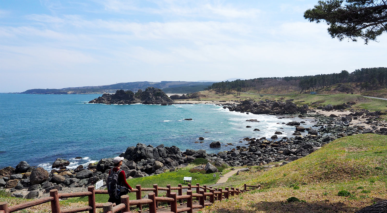
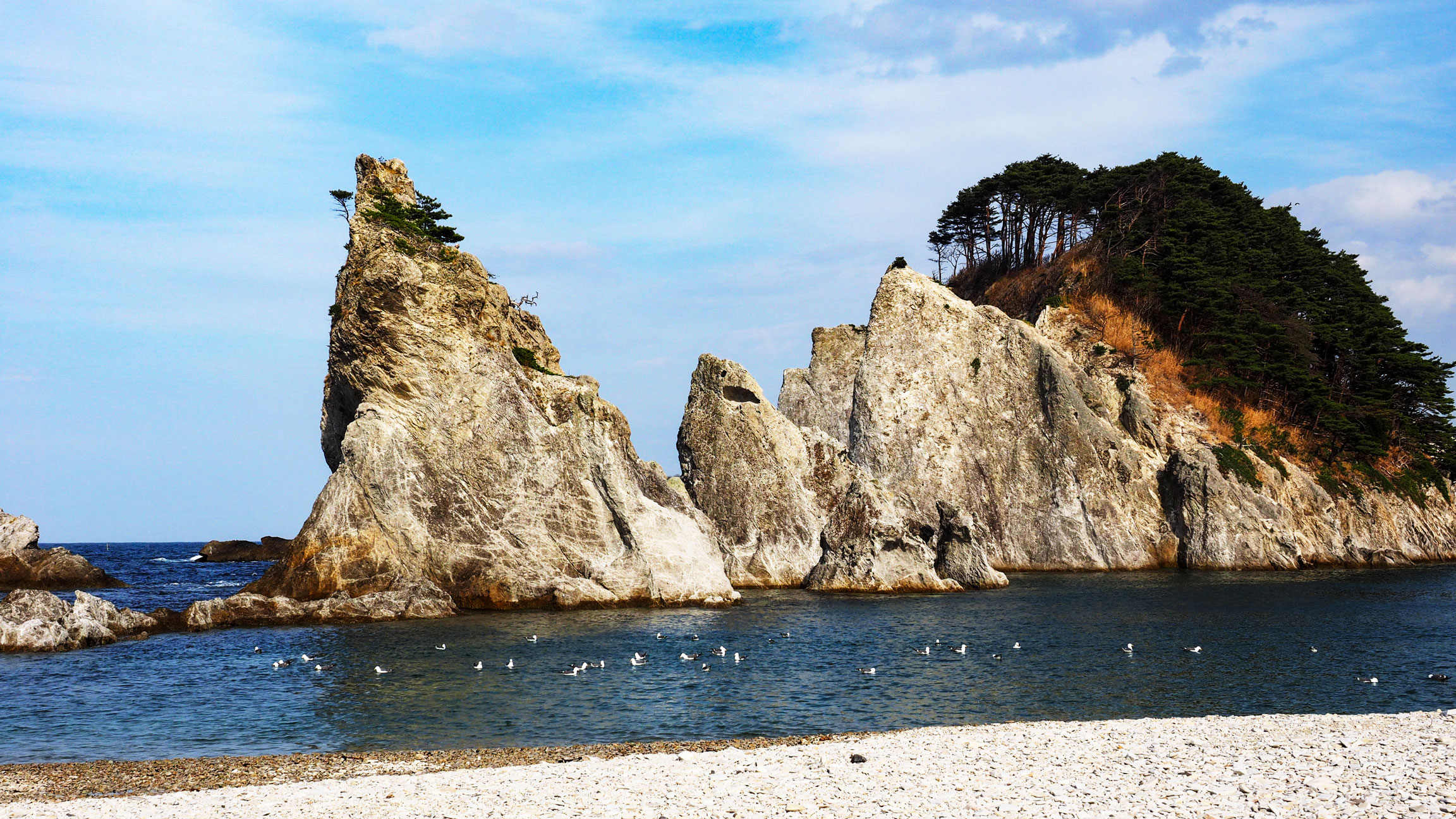
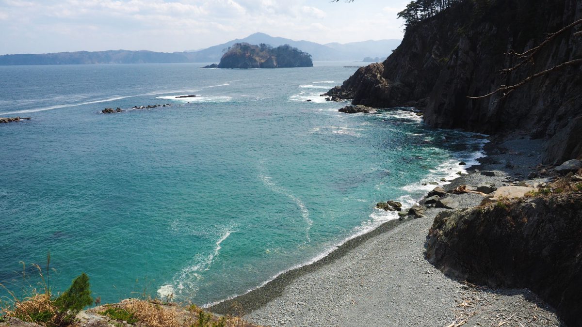
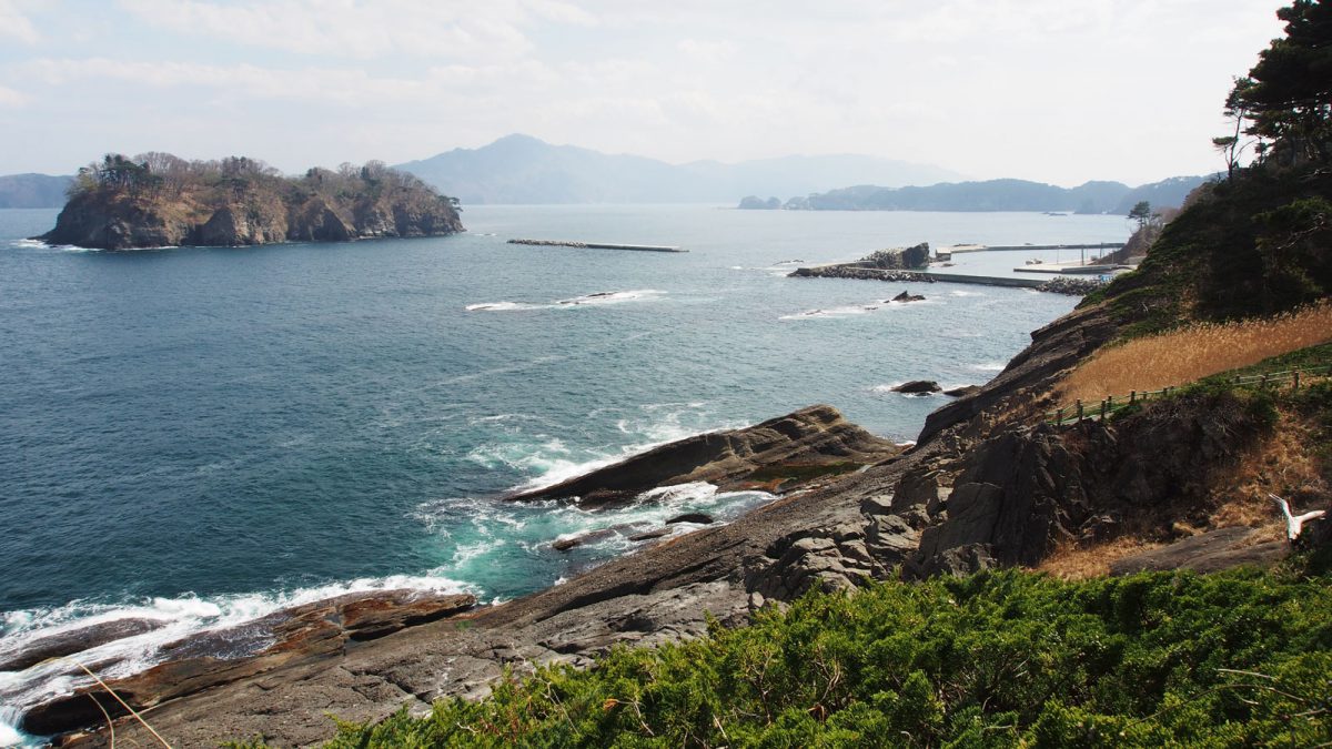
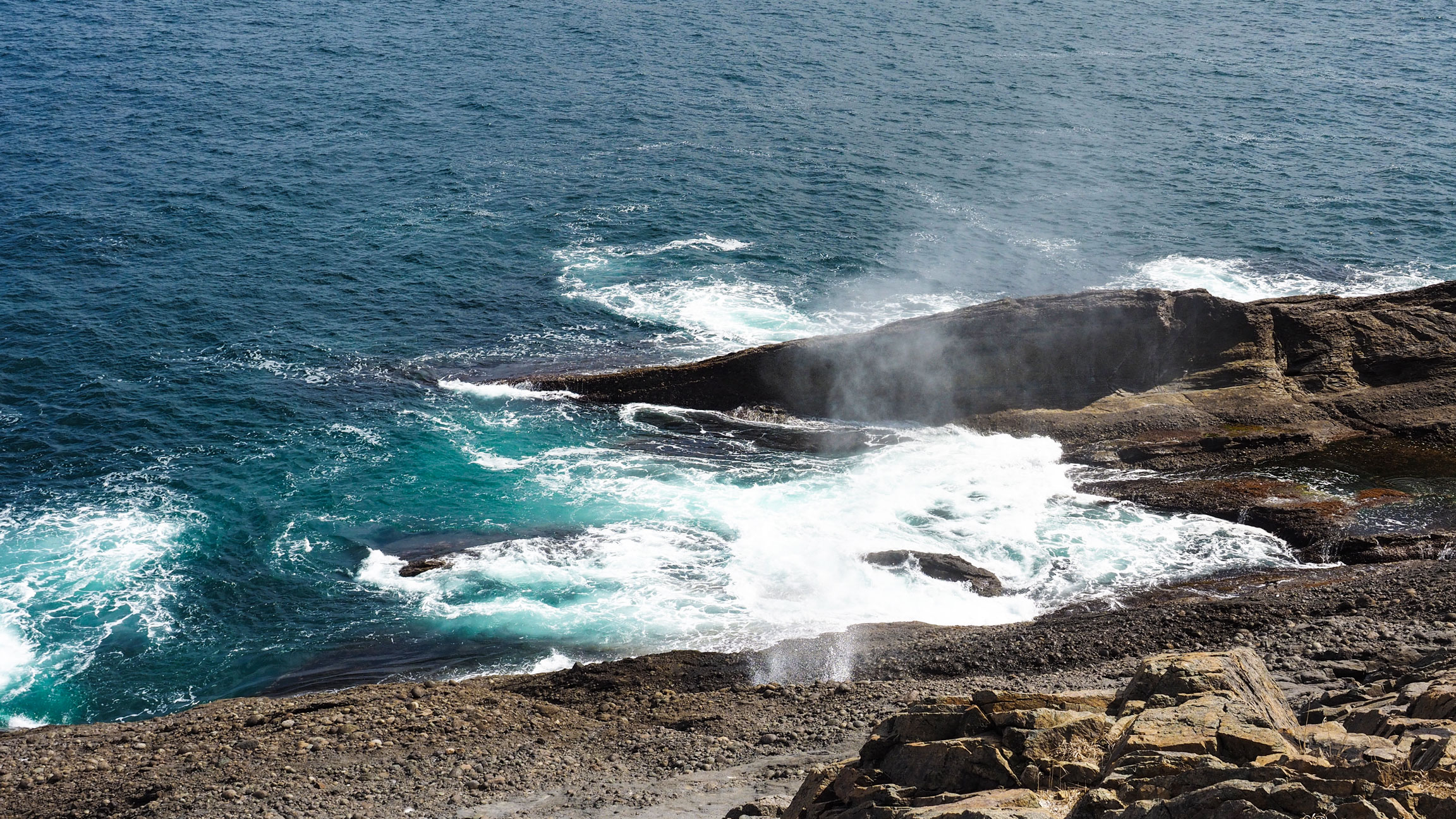
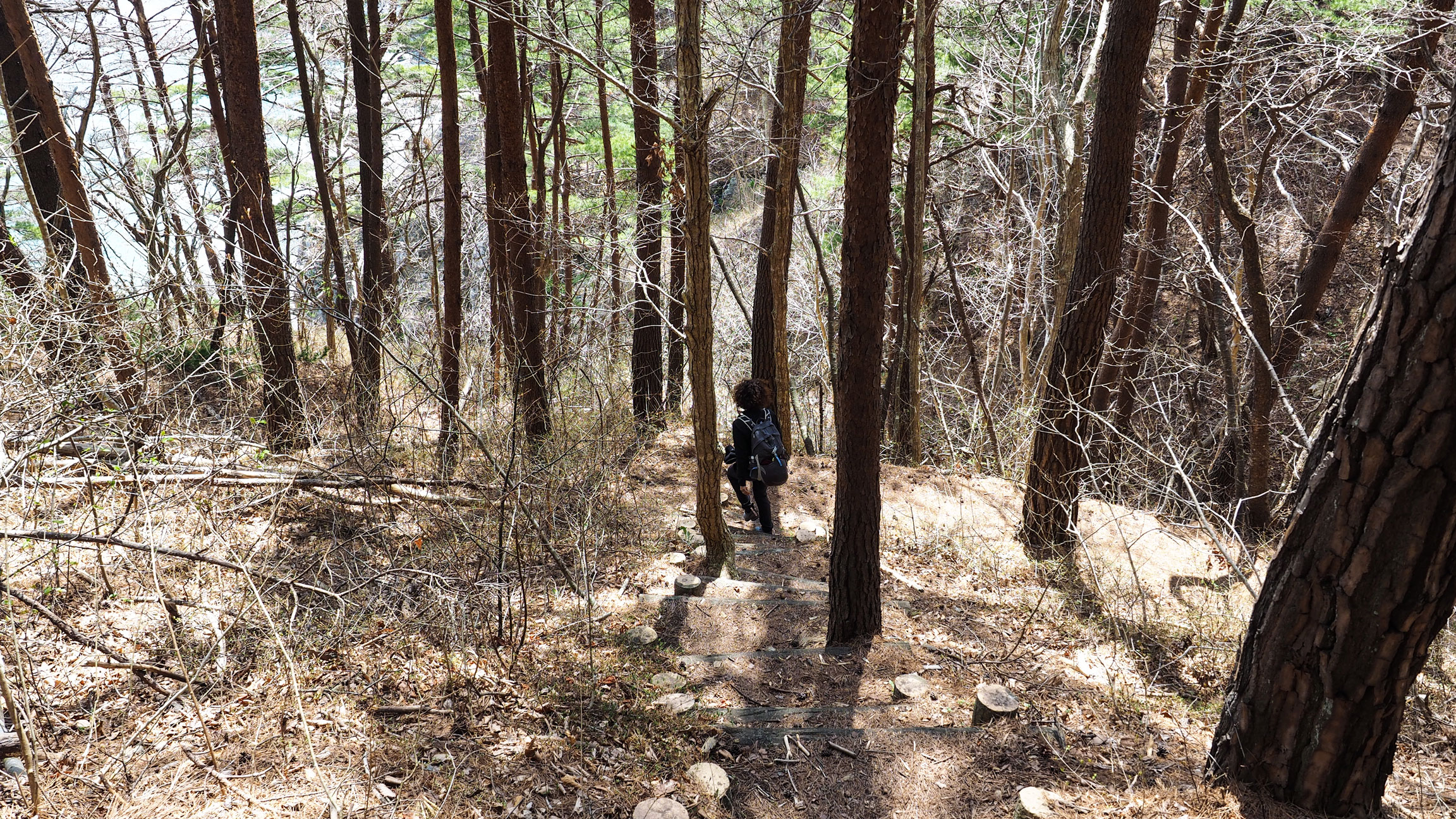
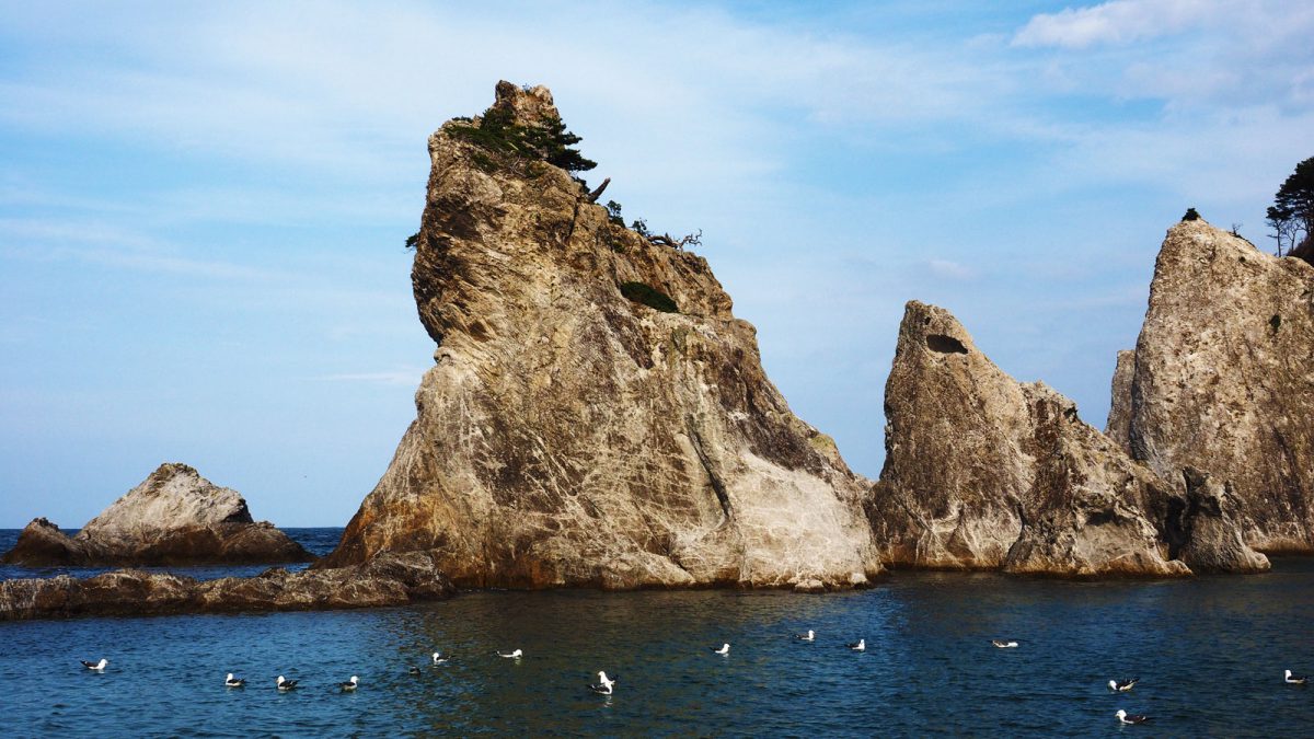
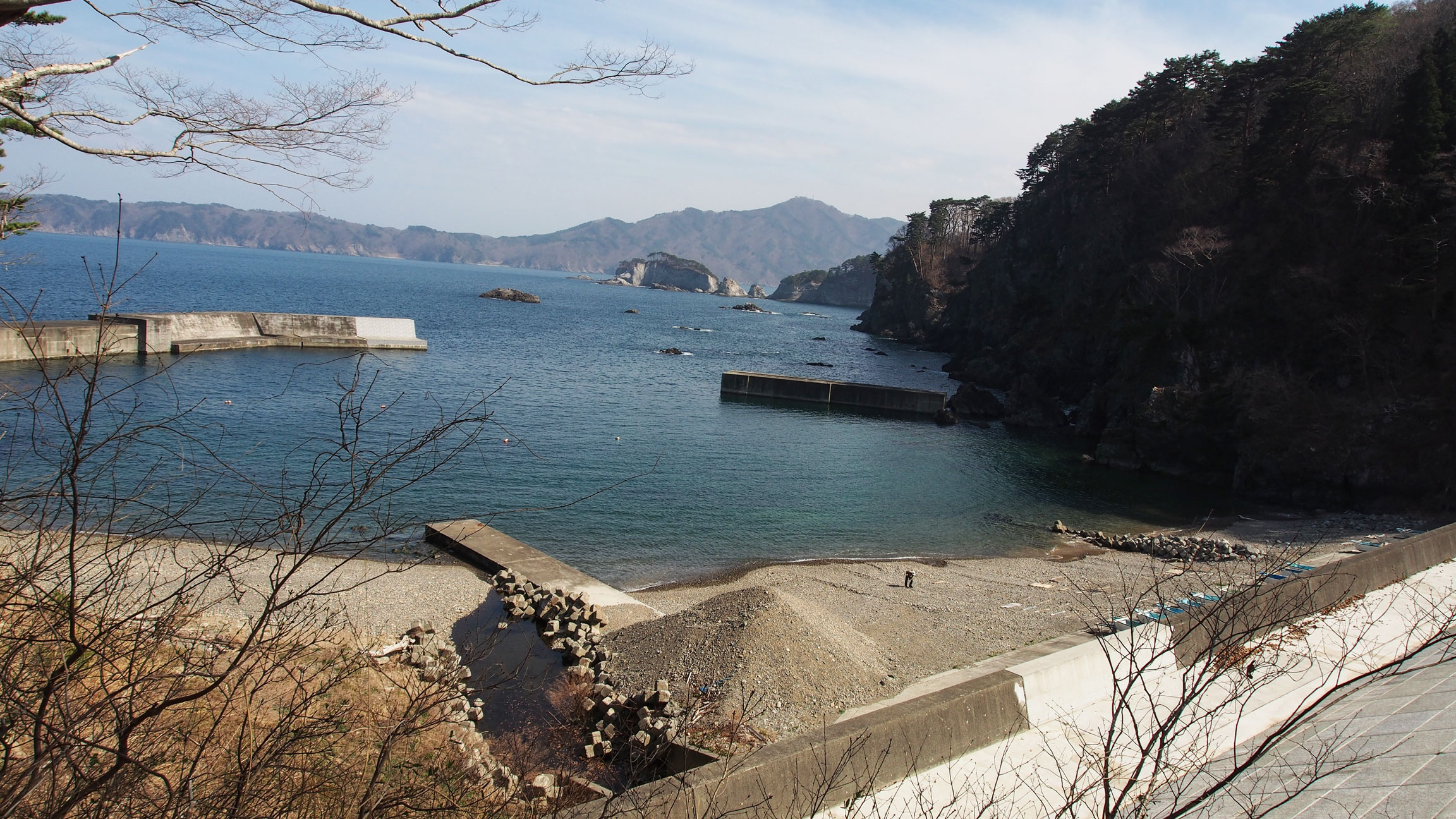
Our walk started at the Tsunami Memorial Park at Nakanohama 中の浜. From there, the route follows the rugged coastline with steep cliffs, climbing and descending through forests, crossing small rivers and passing through fishing ports, with occasional viewpoints out over the Pacific. Hiking shoes are essential — this section is significantly more demanding than the Hachinohe section. We didn't meet any other walkers all day. There are no shops until Jodogahama, so take food with you. We ended at Jodogahama beach, where a rest house near the shore sells snacks. Our hotel for the night, the Park Hotel Jodogahama, was five minutes up the hill from the beach.
Walkers wanting the complete Taro to Jodogahama section should start at Shintaro Station, which adds Taro town to the itinerary — worth the detour for its extraordinary tsunami sea walls and the memorial hotel left half-destroyed as a public reminder of 2011.

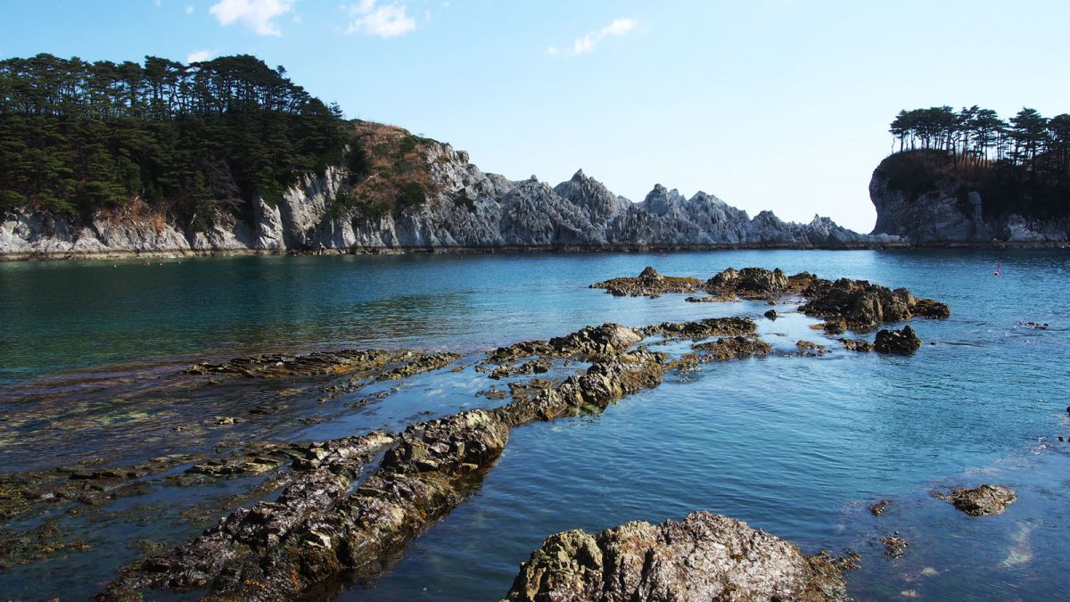

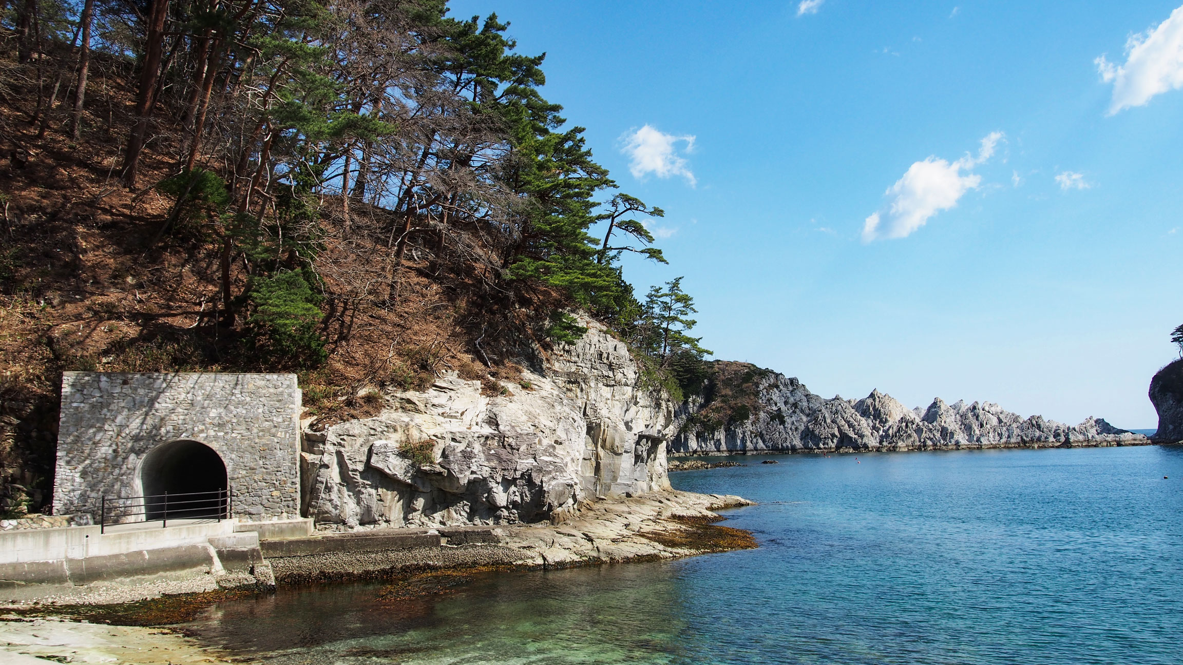
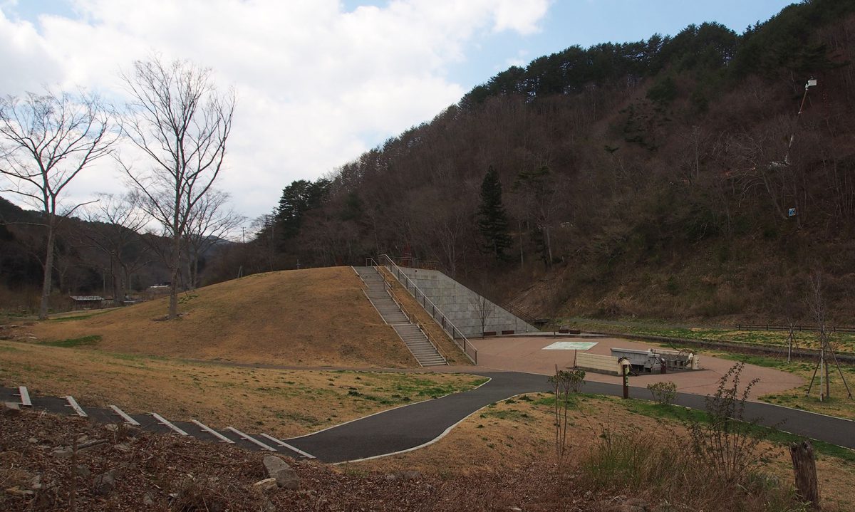
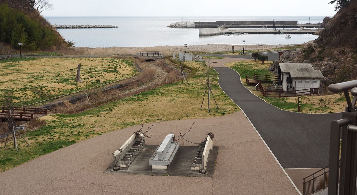
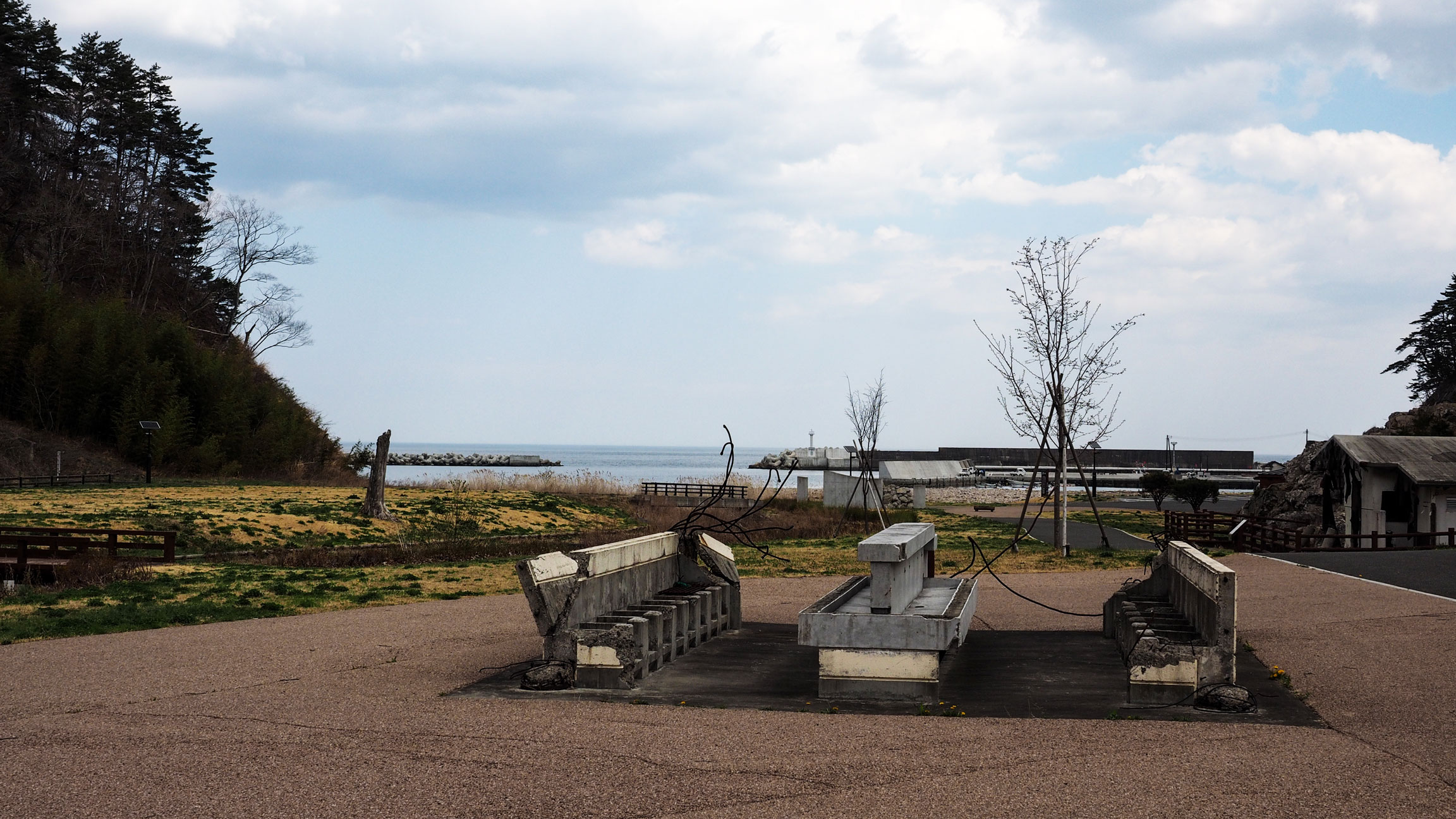
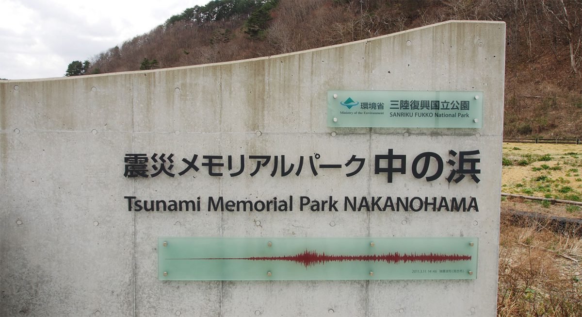
Tsunami Memorial Park at Nakanohama
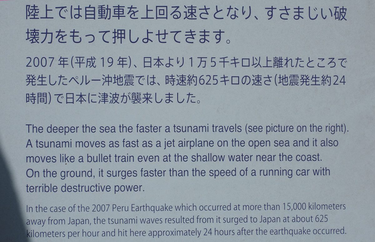
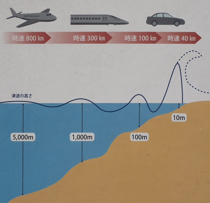
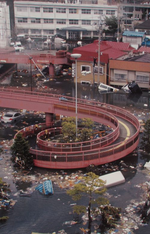
The Tsunami Memorial Park at Nakanohama (external link) was a good starting point for us to understand the gravity of nature disasters. The area was previously a camping ground and the tsunami swept everything away but some concrete facilities. Waves reached 21 meters in height. You can witness photos of different cities during and after the disaster and read explanations about tsunamis in general.

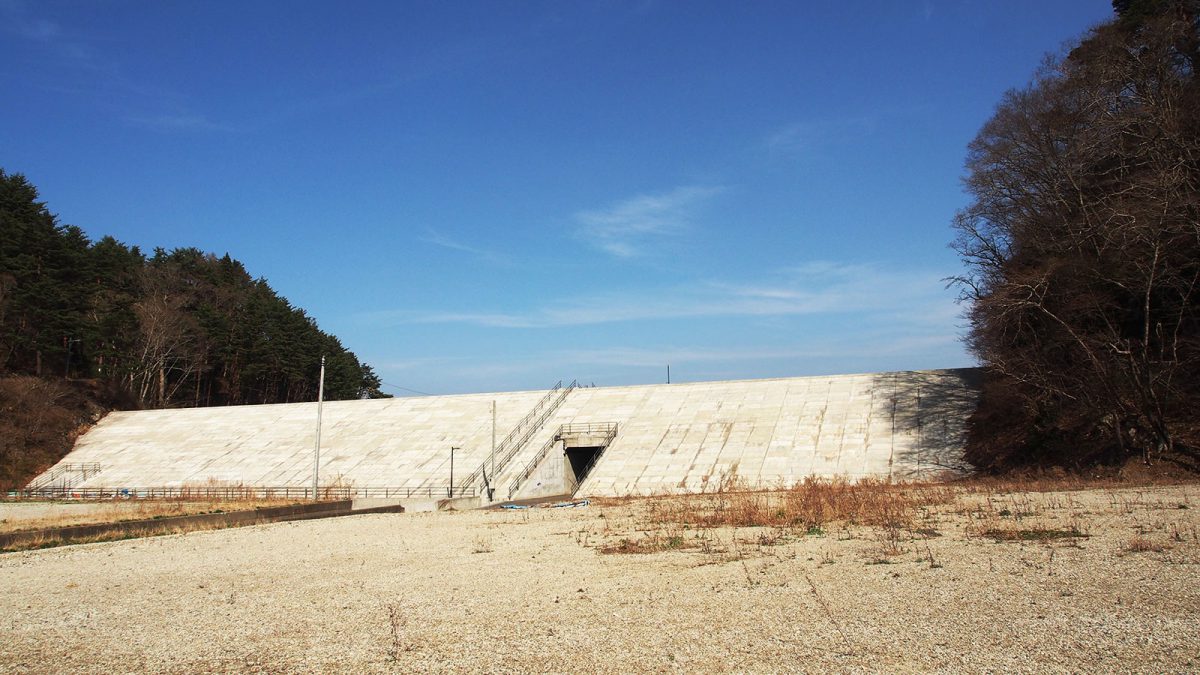
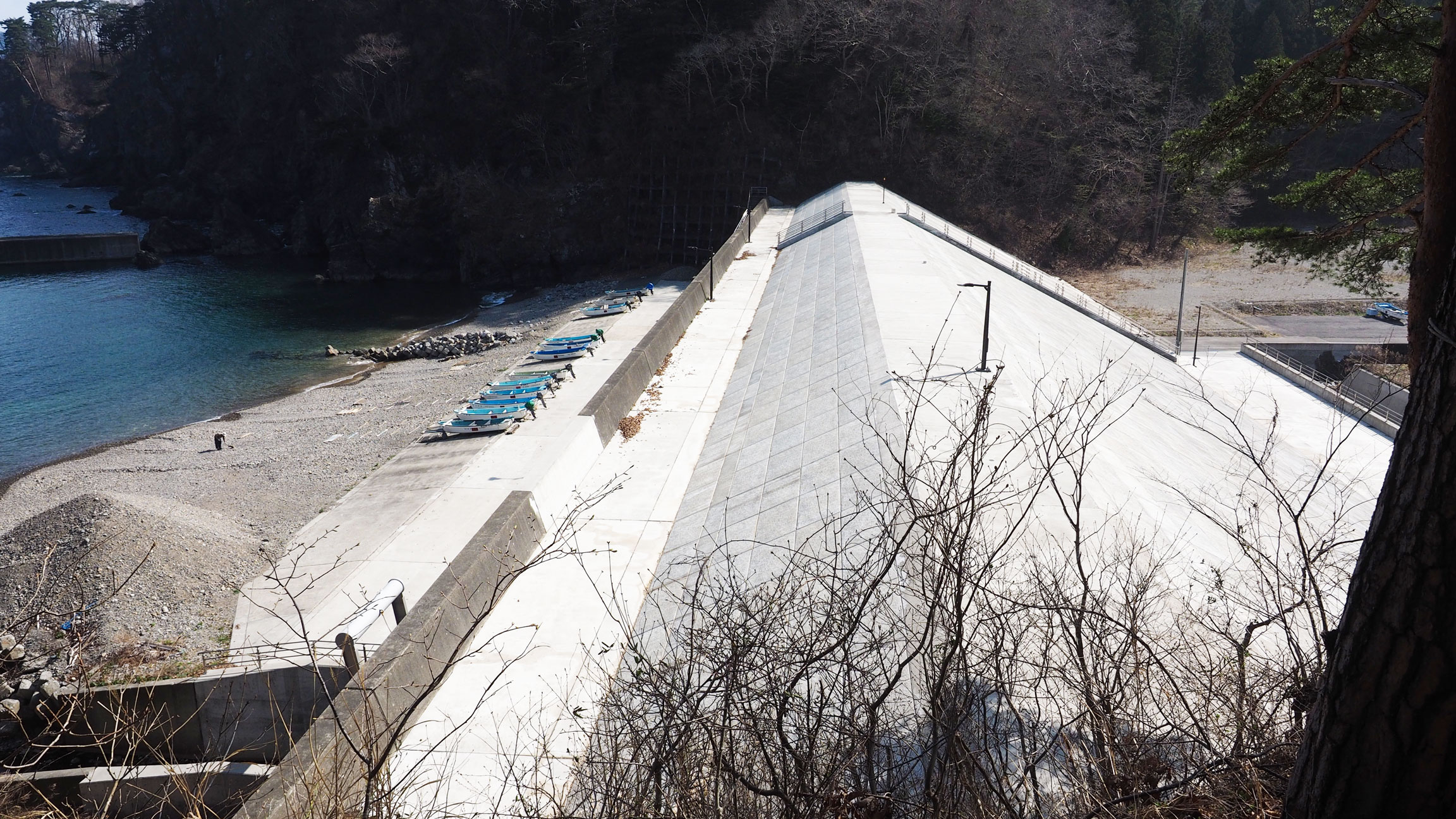
Sea walls
Along the coast, enormous concrete sea walls sometimes block the view of the sea entirely. They are not subtle — but they represent the reality of living on this coastline, and the heavy reliance of coastal communities on engineered infrastructure to absorb what nature can deliver.
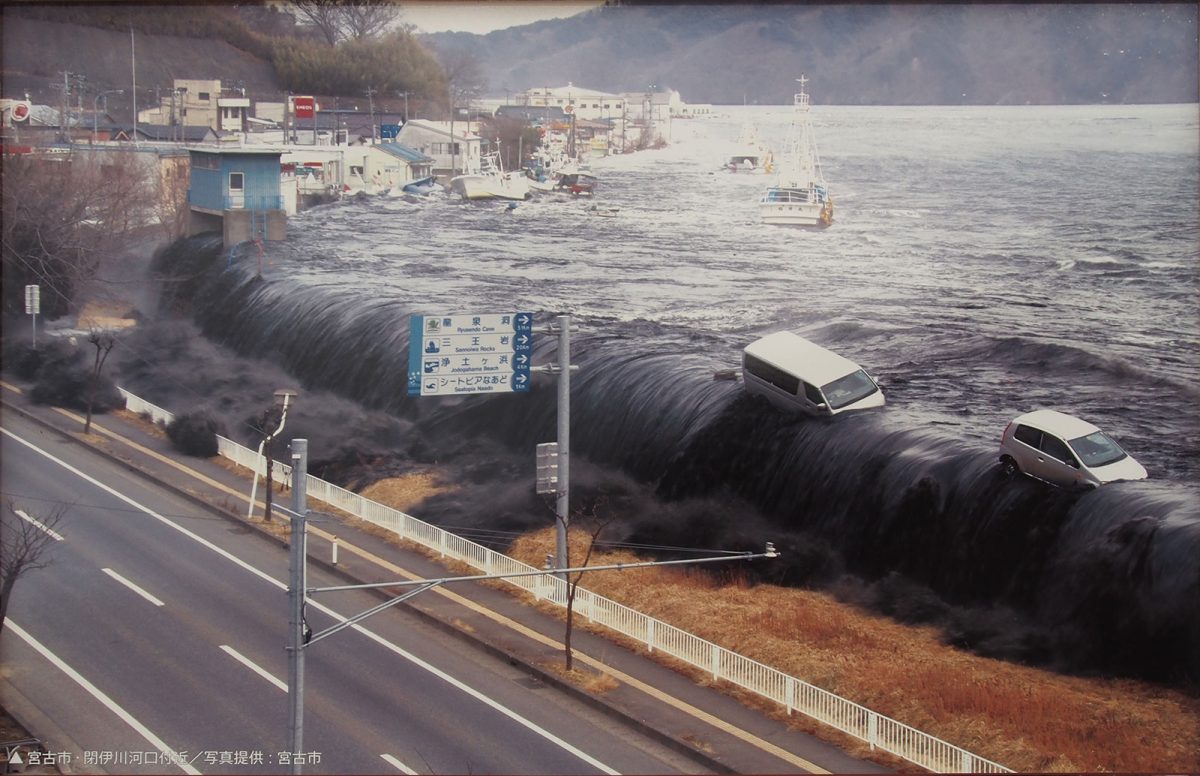
Miyako
The tsunami struck Miyako on 11 March 2011 with a run-up height of 40.5 metres above sea level — among the highest recorded anywhere in Japan that day. It killed 420 people, left 92 missing and destroyed over 4,000 buildings. Of the city's 960-ship fishing fleet, fewer than 60 boats survived. The photographs taken as the wave hit show a port town disappearing under water in real time.
Good to know
- Getting there
From Miyako Station, take a bus to the Nakanohama bus stop, then walk a short distance downhill to the Tsunami Memorial Park and the trail. Check timetables in advance as services are infrequent. The walk ends at Jodogahama beach, from where a regular bus runs back to central Miyako.
- Bears
The forested sections of the trail pass through bear habitat — signs are posted along the way. Carry a bear bell attached to your bag; the noise as you walk gives bears enough warning to move away before you get close.
- Stay
We ended the walk at The Park Hotel Jodogahama, five minutes uphill from the beach, with dinner and breakfast included.
- Location
-
Miyako Open in maps (external link)
- Details
-
Visited Last checked