Garandake crater hike
伽藍岳
A quiet volcanic crater walk between Beppu and Yufuin, with warm fumarole fields and wide views of Mount Yufu and Beppu Bay.

A crater you walk straight into
Garandake is an active volcanic crater on the ridge between Beppu and Yufuin, in Oita. We found it on a brochure picked up somewhere in Kyushu — not in any hiking guide — and walked it on a quiet April day with the fumaroles almost to ourselves.
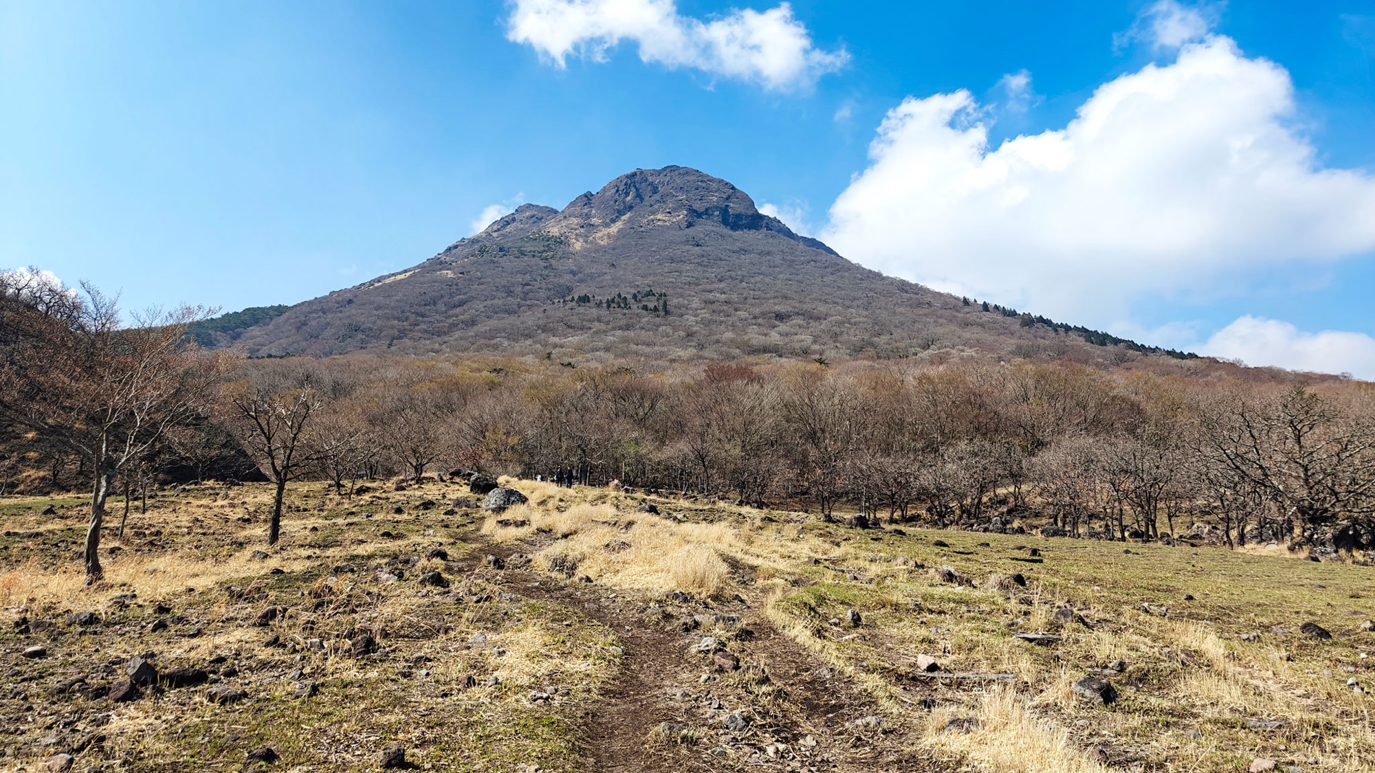
The walk starts by Tsukahara Onsen, near the top of the road, and within minutes you are in the crater basin itself. The ground is pale and bare, streaked yellow, red and turquoise where minerals have bled out of the rock, and vents hiss steam and sulphur along the slope. In places the earth is warm underfoot. It is a working fumarole field — the smell arrives before the view does.


The climb to the West Peak
Above the fumaroles the path steepens over loose scree and blocky lava, and the vegetation thins to grass and low pine. It is not a hard climb, but the surface is unstable and worth taking slowly. A small sign marks the West Peak; the true summit sits a little higher along the same ridge.


Mount Yufu and Beppu Bay
The reason to keep going is the view. Mount Yufu stands straight across the valley, its twin peaks unmistakable, while on the Beppu side the ridge falls away to the city and the wide curve of Beppu Bay, Mount Tsurumi and its antennas on the far shoulder. Our day was hazy, but the bay still read clearly, Yufu and Tsurumi both easy to pick out.


After the hike
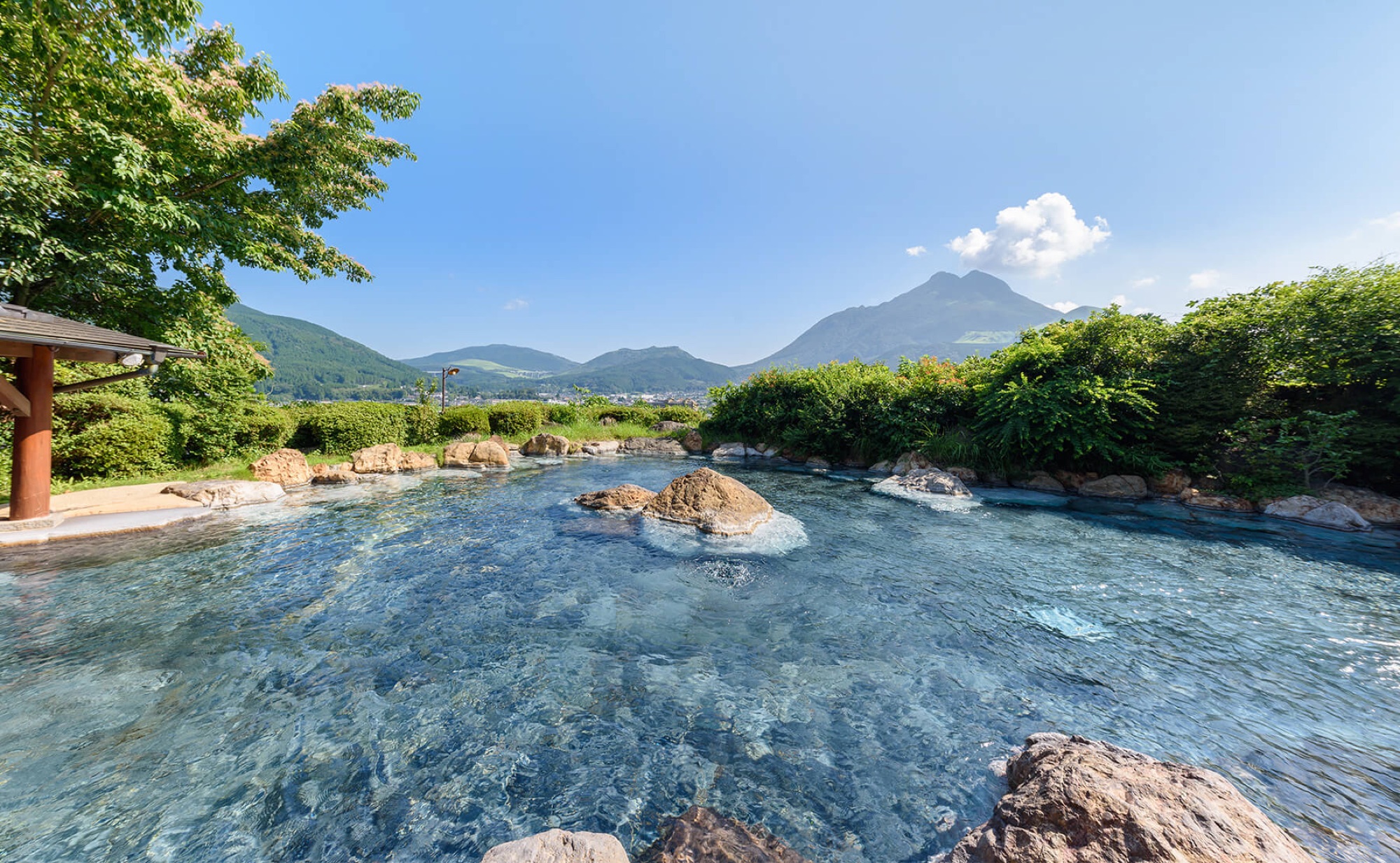
The steaming basin at the base belongs to Tsukahara Onsen, and the spring itself — one of the most acidic in Kyushu — is right at the trailhead if you want a soak at the end. We stayed two nights in Yufuin and used one day for the walk; it is an easy half-day out from there.
Good to know
- Getting there
The trailhead is at Tsukahara Onsen, on the mountain road between Yufuin and Beppu. It is easiest by car — a short drive up from Yufuin Onsen — with parking and toilets at the onsen. The steaming basin at the base is Tsukahara's managed crater-viewing area (adult ¥200, about 5 minutes from the car park).
- Route
A loop of about 6.95 km with roughly 402 m of ascent, around 3 hours at an easy pace. The West Peak is 1,014 m; the mountain tops out near 1,045 m. A GPX track is available to download below.
- Terrain & safety
Loose volcanic scree and boulder fields, with active fumaroles near the base. Keep to the path and away from the vents, and wear proper shoes. Garandake is a live volcano — check current JMA volcanic warnings before you go.
- Season
We walked it in mid-April: dry spring colours, a little haze, and the last of the cherry blossom lower down. The upper ridge is exposed, so avoid strong wind.
- Where to stay
Yufuin Onsen makes the obvious base; Yama no Hotel Musouen is a very good choice.
- Official links
- GPX track
-
Download the GPX track of Garandake crater hike, for your maps app or GPS watch.
- Location
-
Yufuin Open in maps (external link)
- Details
-
Visited Last checked