Mount Yufu East Peak hike
由布岳
Mount Yufu is the twin-peaked cone that defines the Yufuin skyline, and reaching its East Peak is a demanding, full-day climb. It is a serious effort, but this is a great mountain and well worth it.
A second try at Bungo Fuji
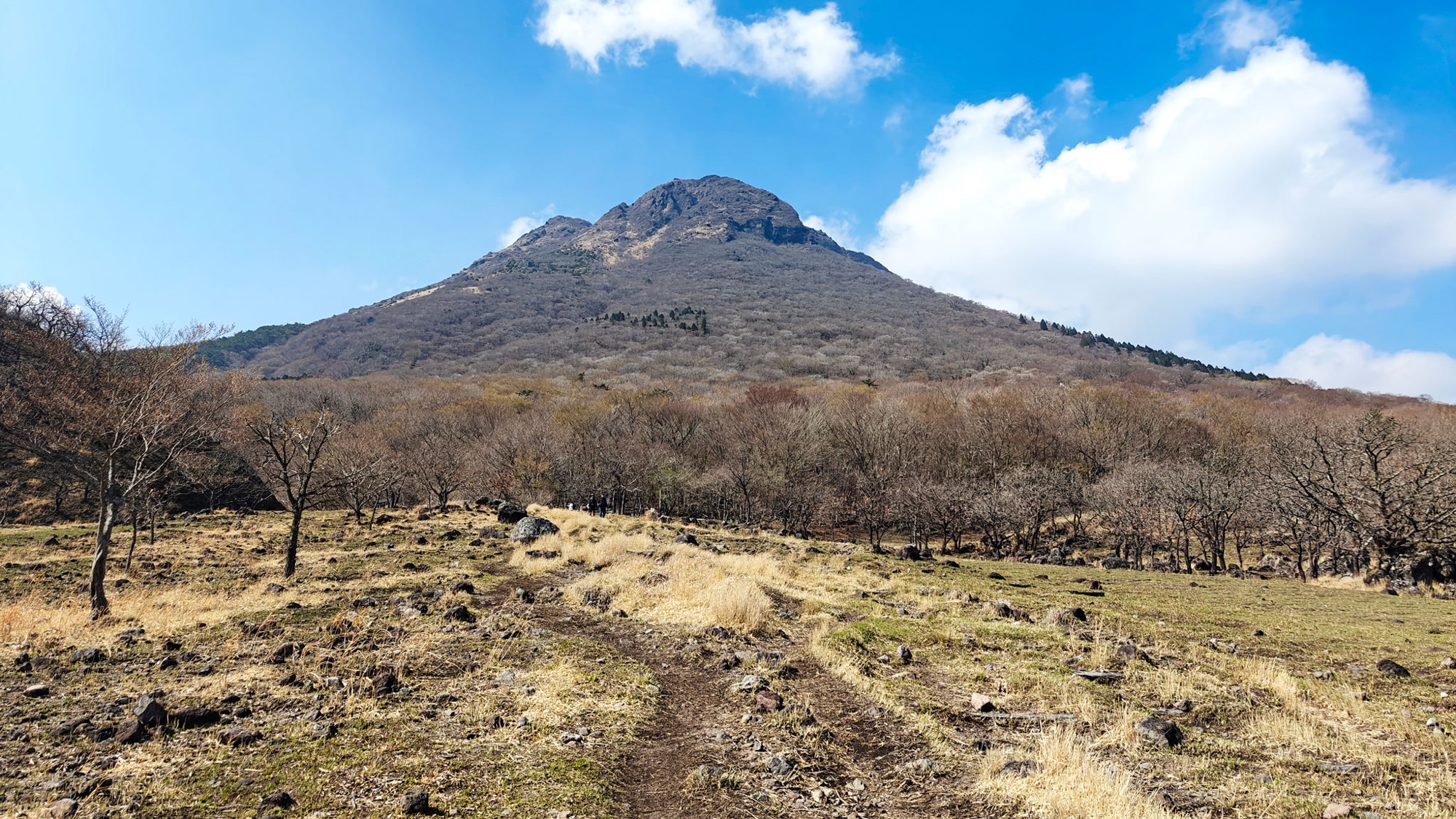
Mount Yufu is the mountain you cannot ignore from Yufuin: a twin-peaked cone rising straight off the valley floor, known locally as Bungo Fuji. This was our second attempt at it. In 2023 the weather closed in and we skipped it before starting; in April 2025 we came back on a clear morning and went up the front trail to the East Peak.
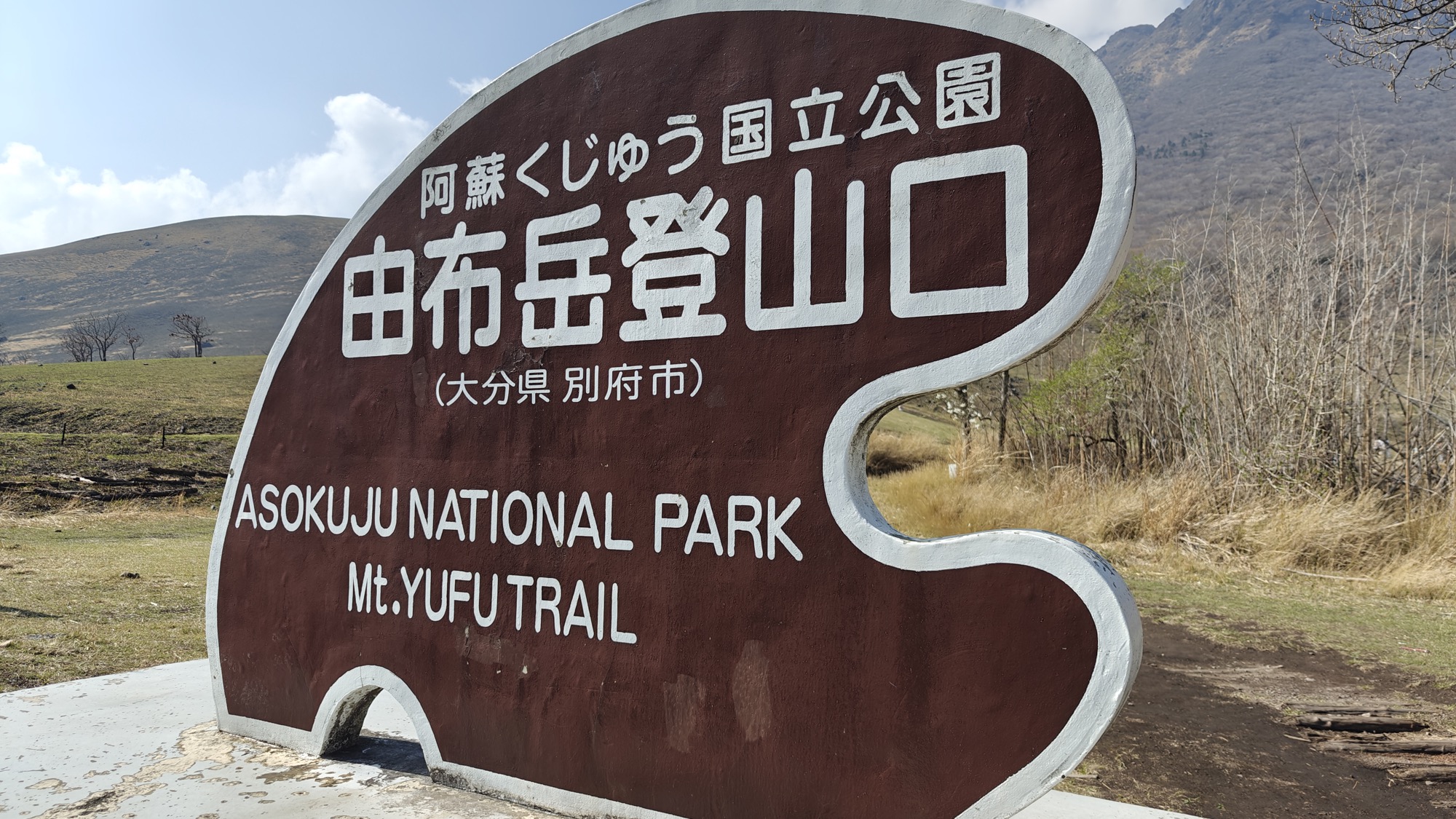
The trailhead itself is a strange scene. Tour buses pull in at the foot of the mountain and empty out crowds who pose along the roadside, nature turned into a backdrop, probably because Beppu is so close. It is a sad way to start. But the crowd thins the moment the trail climbs. It is not the most solitary mountain we have walked in Japan — Yufu is famous for a reason — but past the first slopes it becomes a proper hike again.
Up through the grassland to Iimorigajō
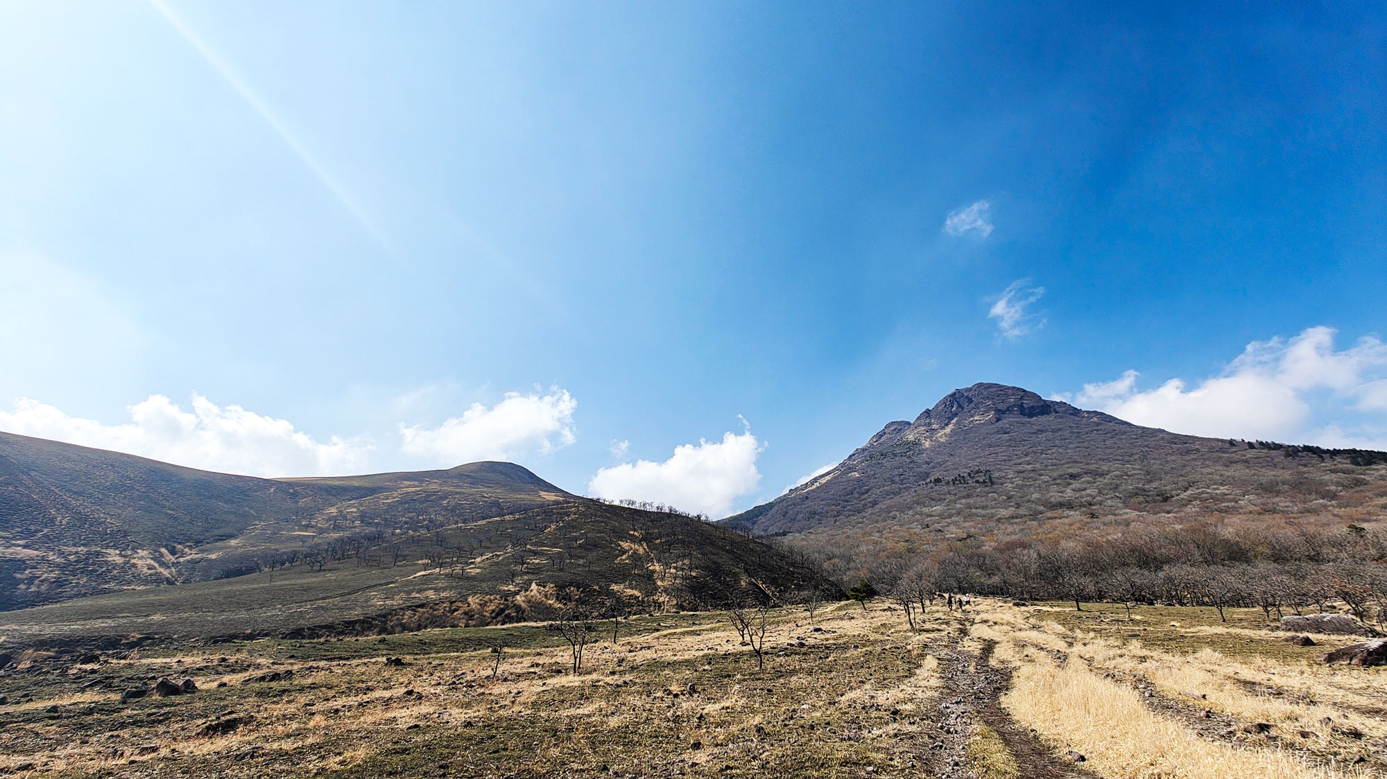
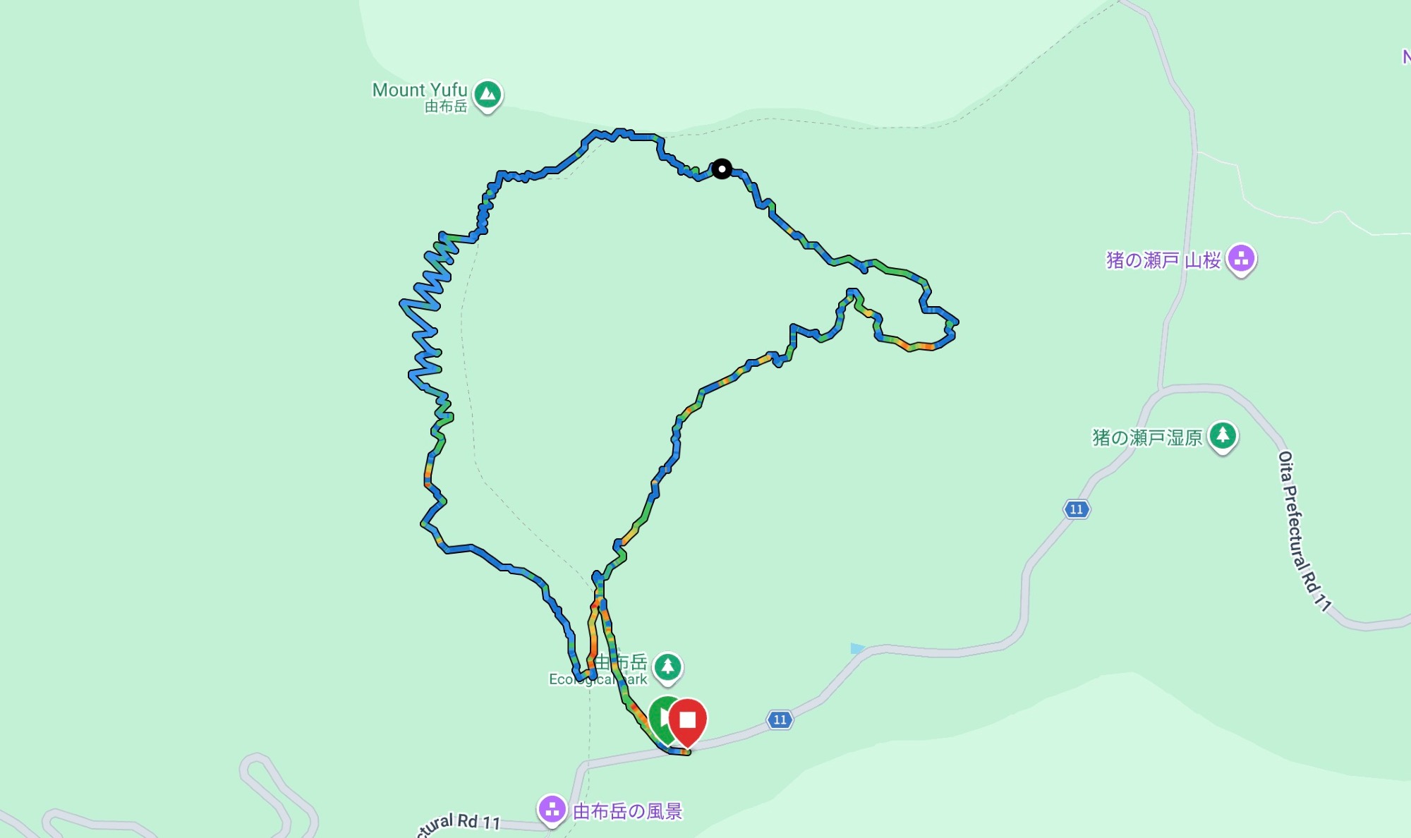
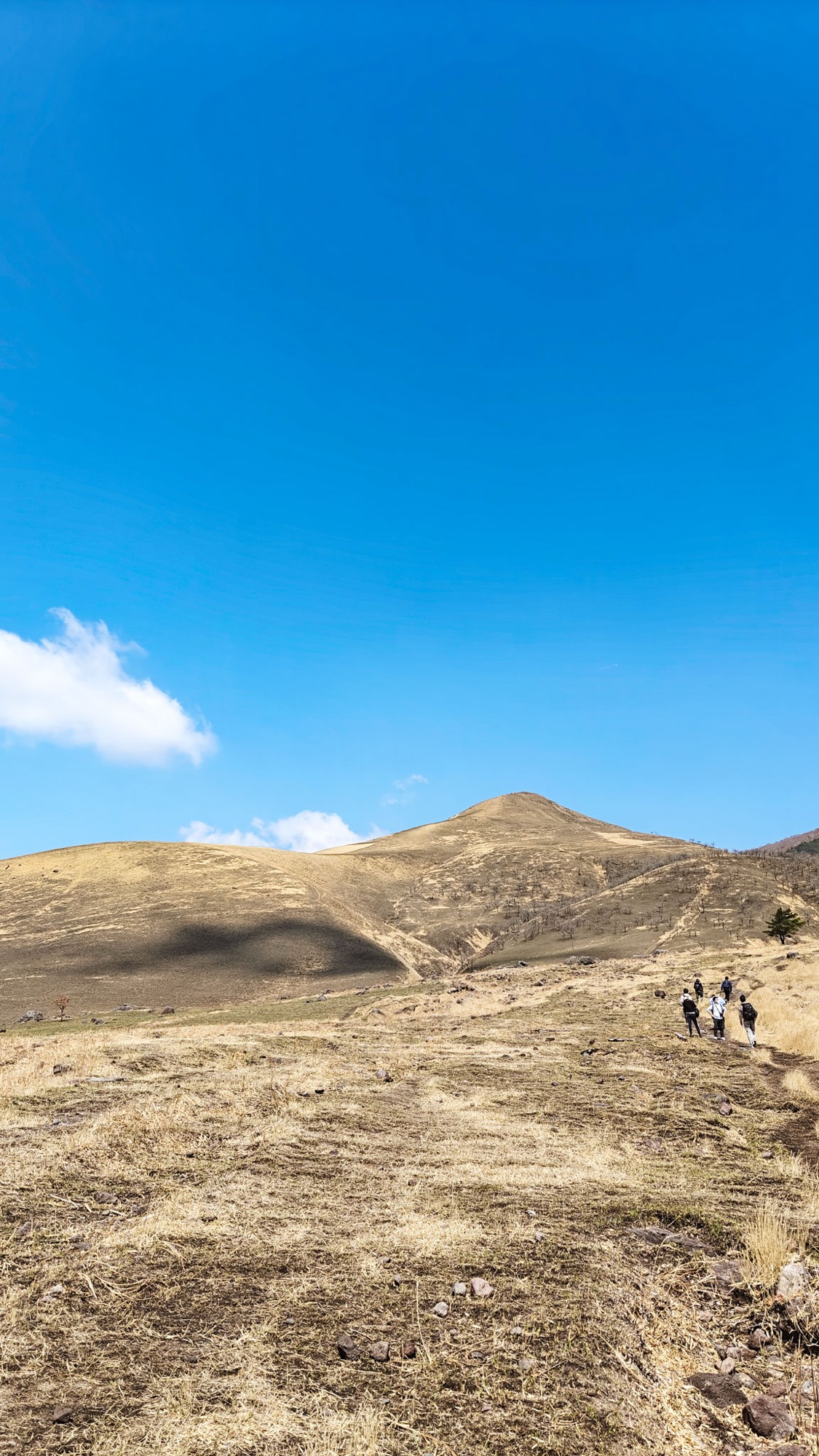
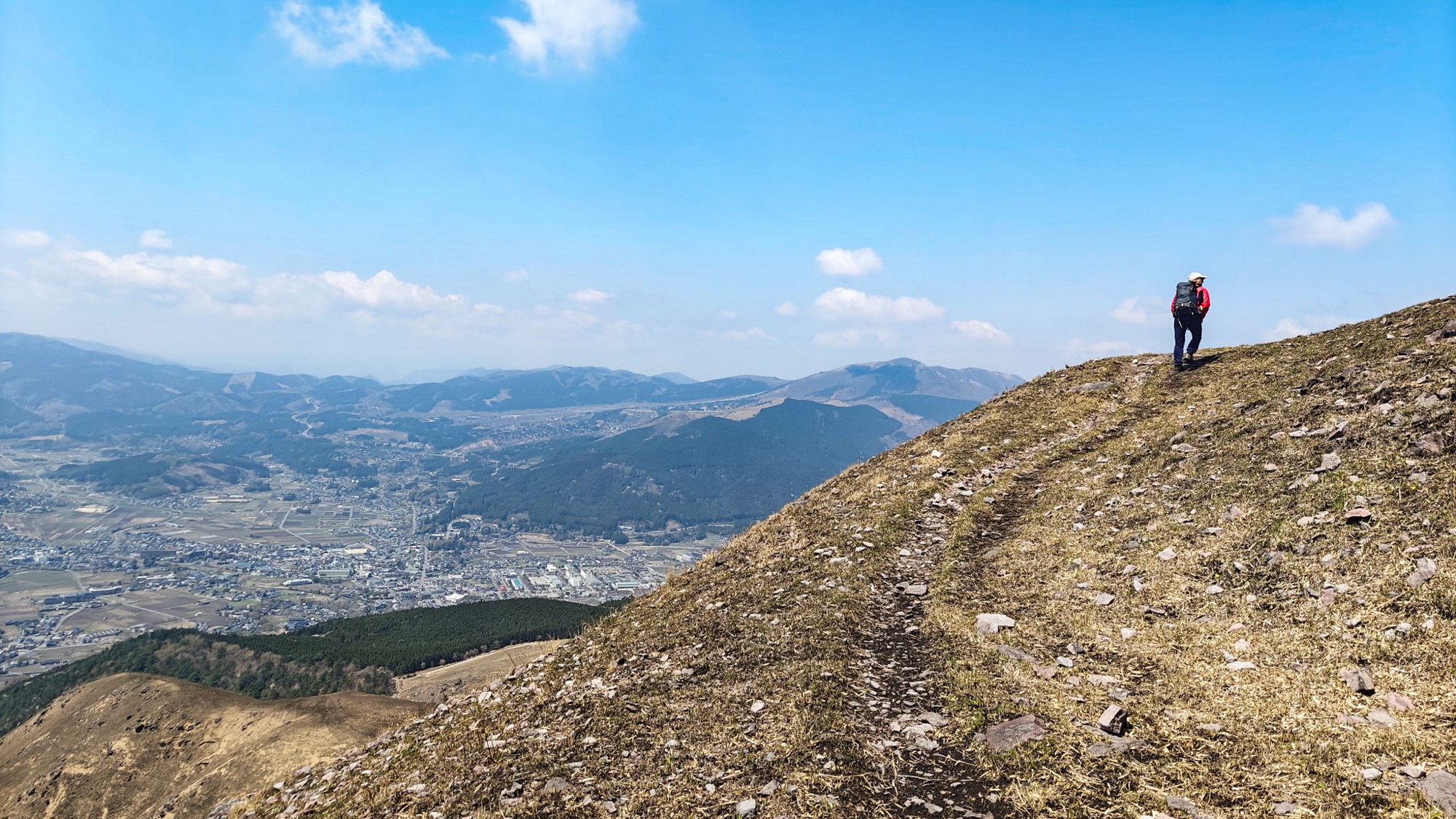
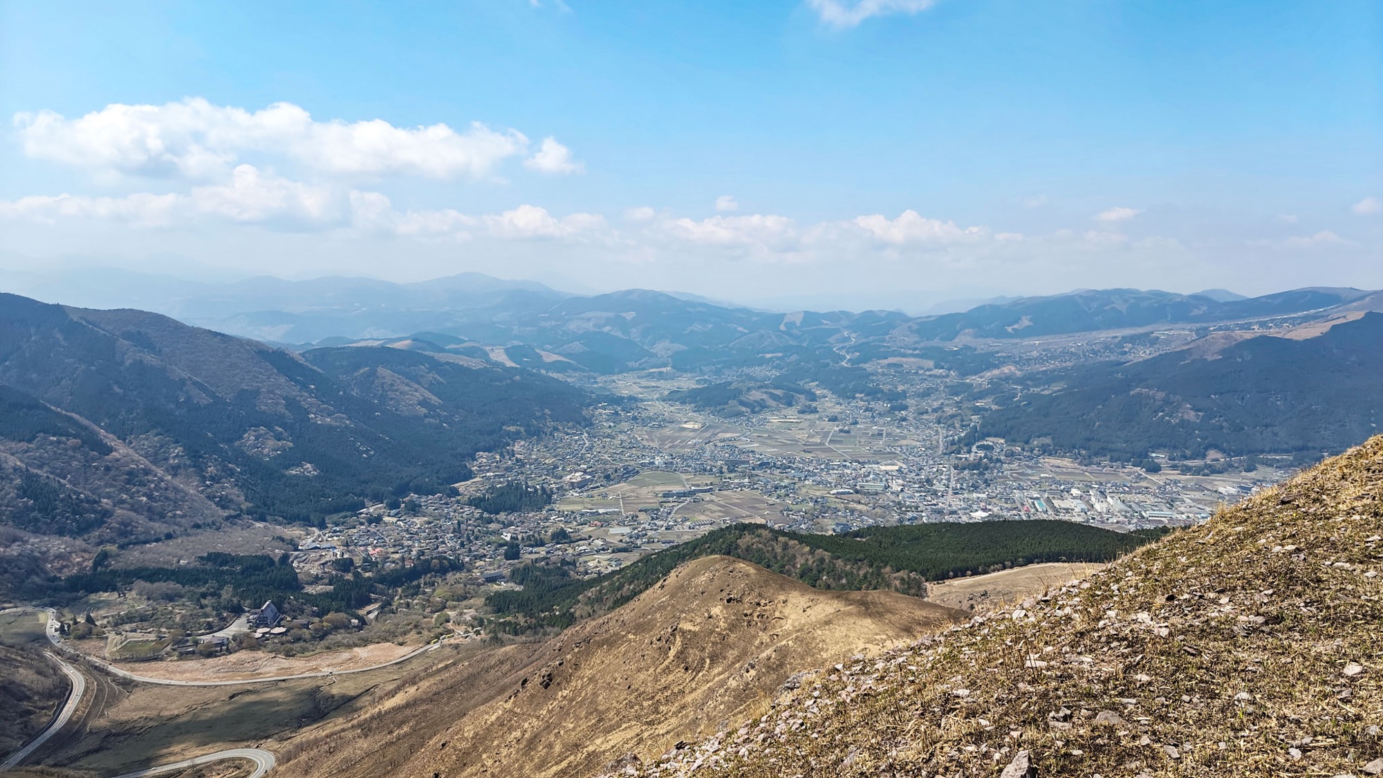
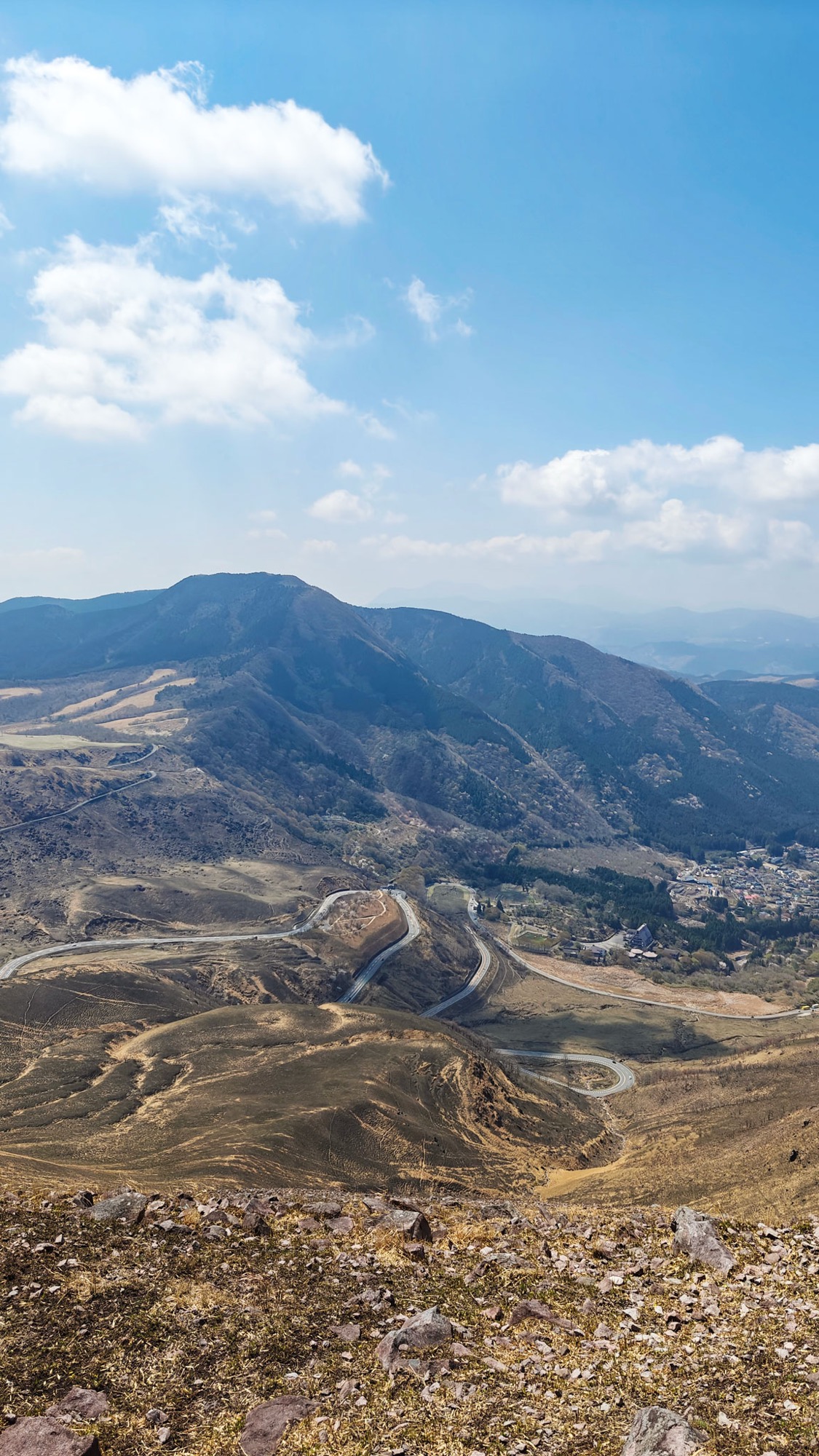
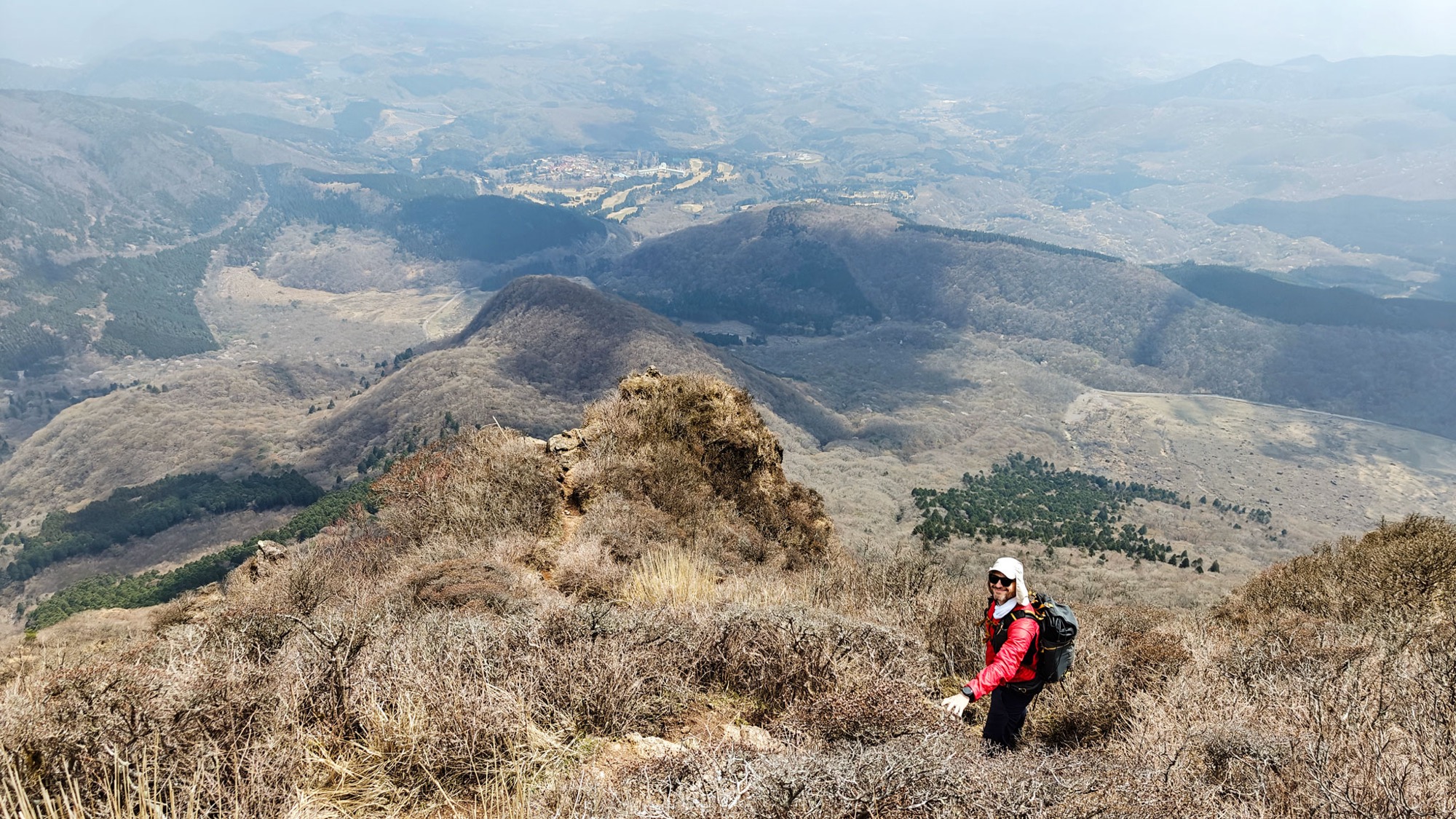
We took the longer way up, starting over open grassland toward Iimorigajō, a grassy dome of 1,067 m that sits below Yufu's cone. It is a steady climb on dry spring grass, and from the top the whole Yufuin basin opens up: the town, the paddies, and the Yamanami Highway looping down into the valley. The path then drops into forest and rejoins the main trail at Goya-goe (合野越), a wooded junction where most walkers pause before the real climb.
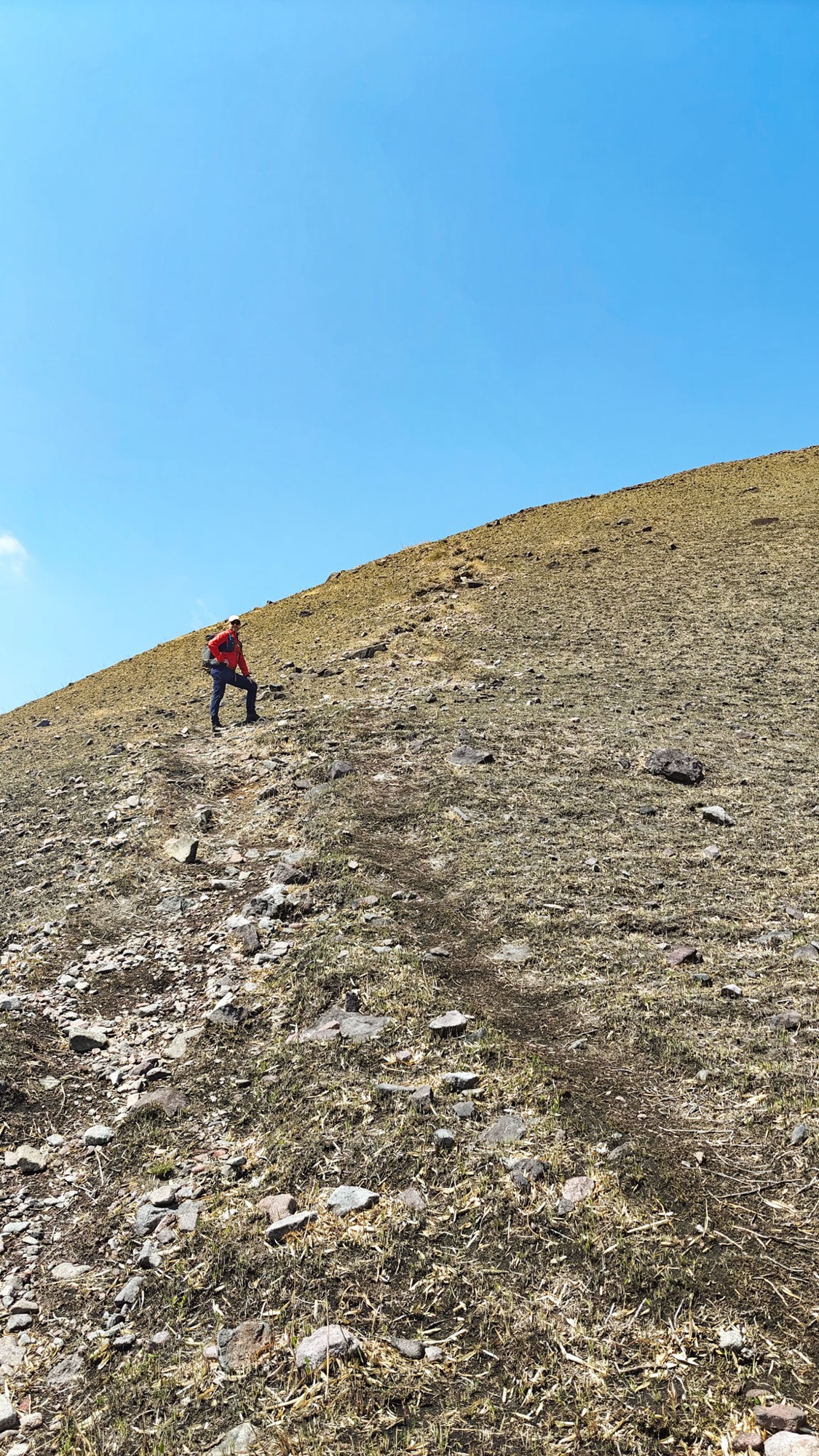
From Goya-goe the trail switchbacks up through the trees, then breaks out onto open slopes of loose gravel — steep but honest climbing that we rather liked, with the twin peaks growing ahead. It is a long day overall, but this stretch of it is the straightforward part.
Reaching the East Peak
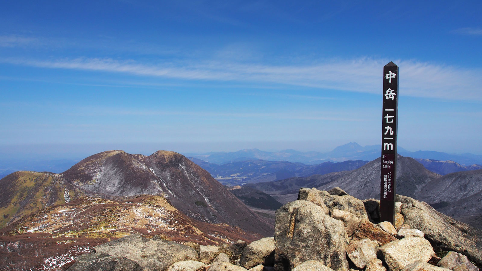
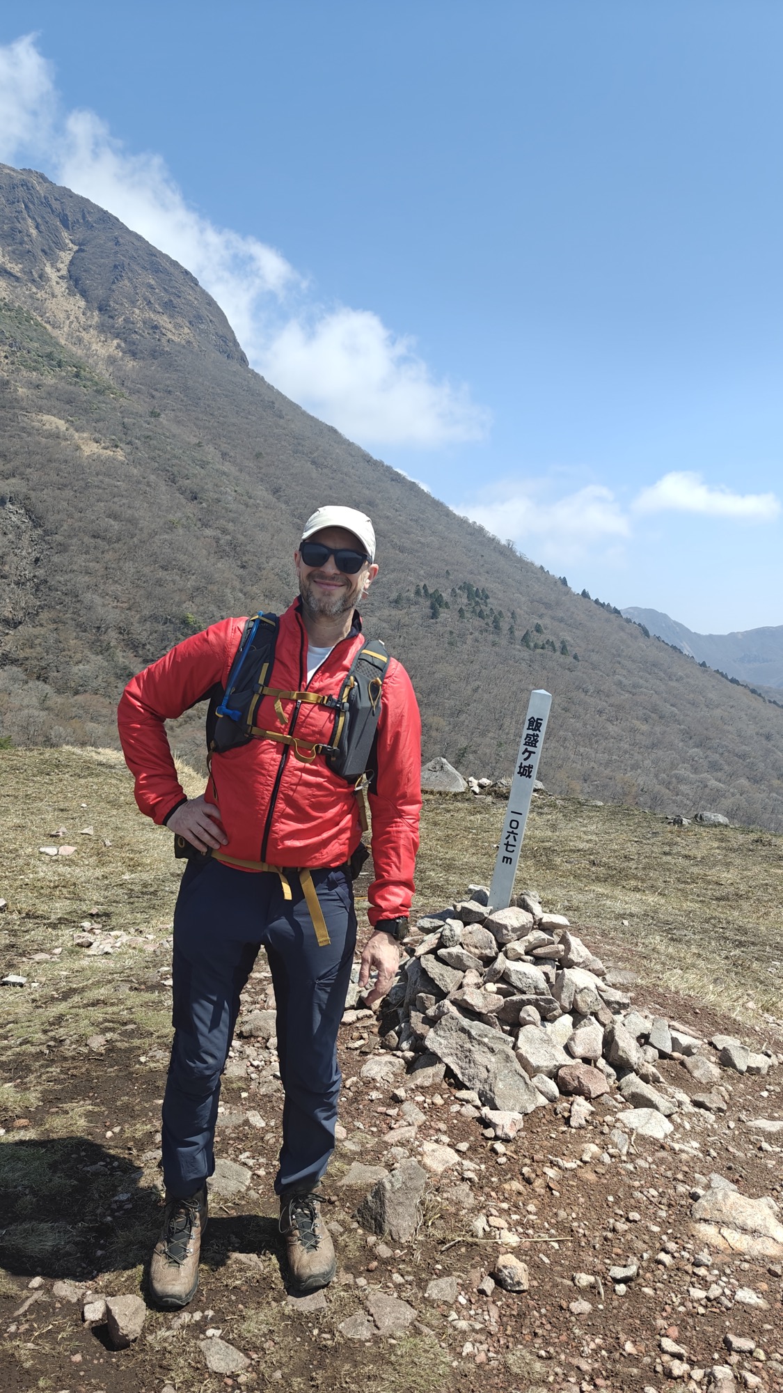
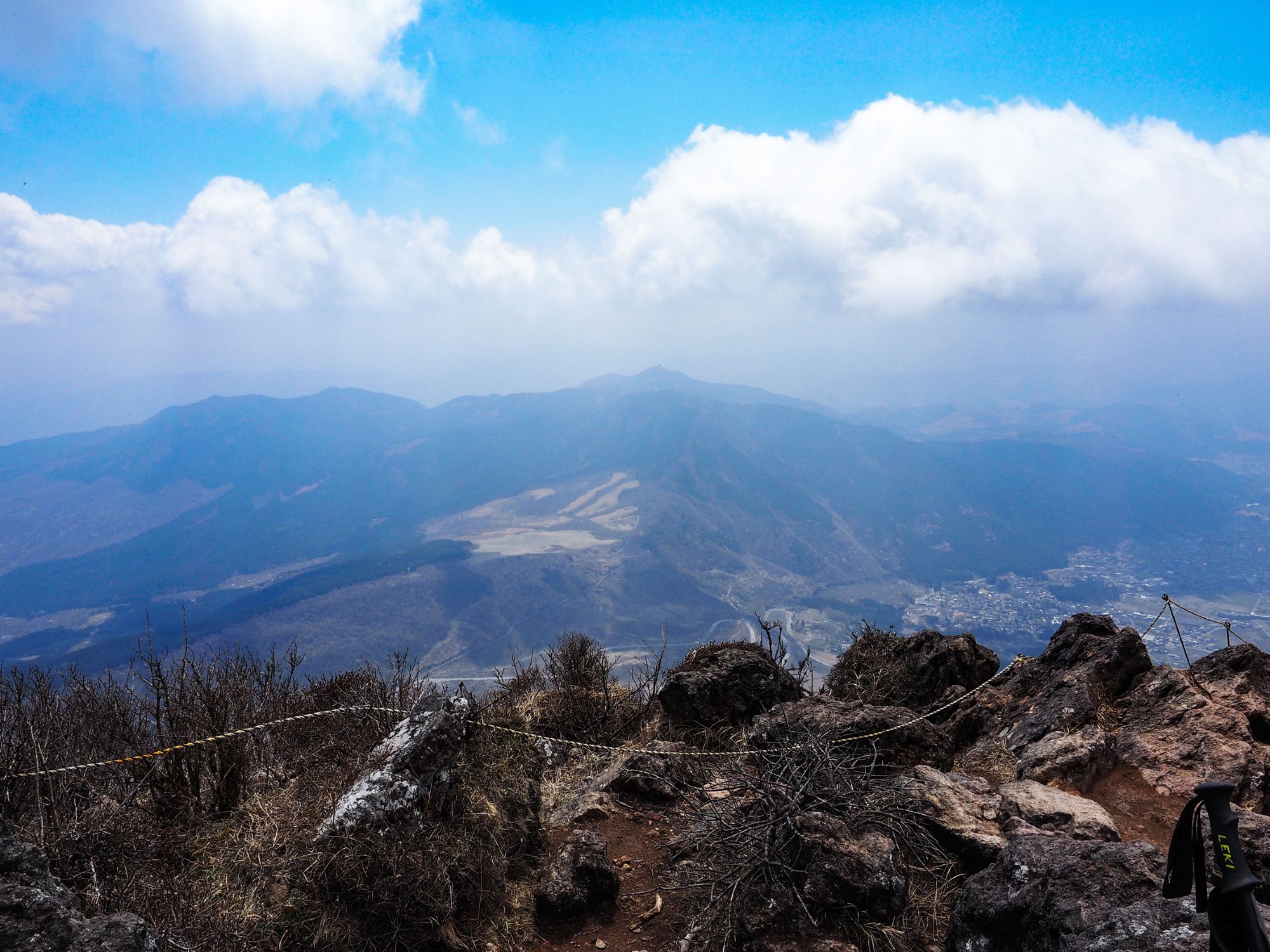
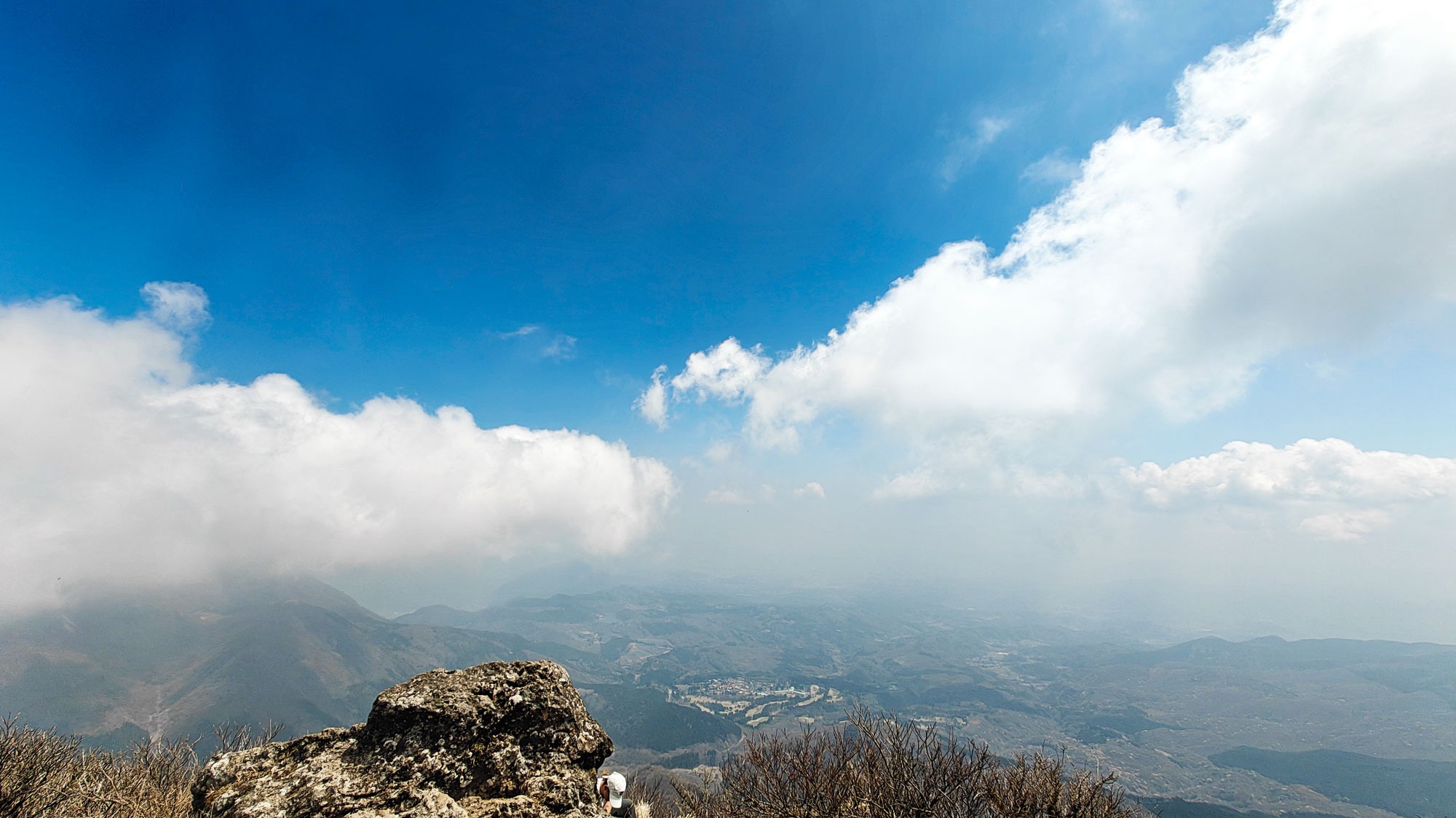
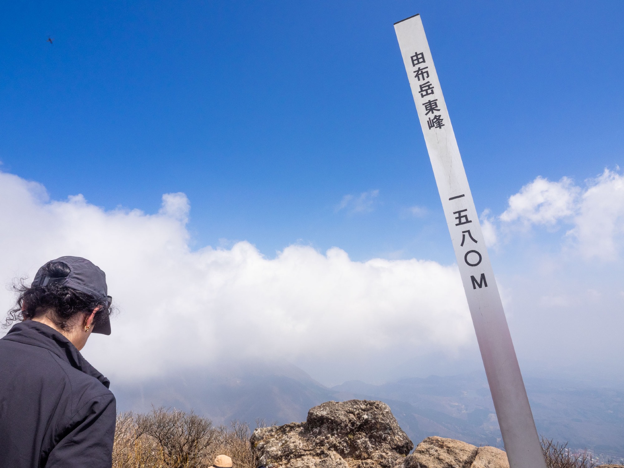
The switchbacks end at Mataé (マタエ), the saddle in the old crater wall where the trail forks for the two summits. We turned east, and a short rocky scramble later stood at the East Peak summit post. Yufu is known for its views across Kyushu, and on another day they would have been the reason to come; ours were half-swallowed by cloud drifting over the top, so we got fragments rather than the full sweep.
Across the saddle the West Peak stands a little higher, reached from Mataé over chained ledges and narrow rock. By then we had had enough climbing for one day, so we left it for another visit.
A steeper way down
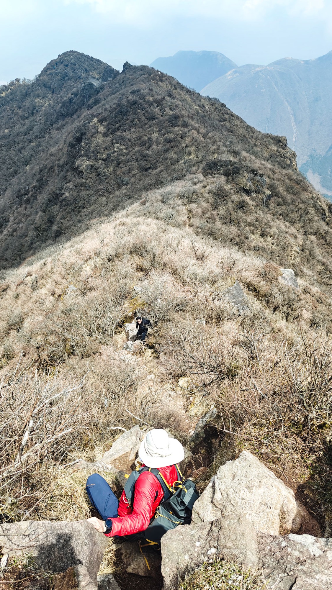
The descent surprised us by being harder than the way up. Where the ascent had been forgiving, coming down meant working over tall blocks of rock with fixed ropes, slow and technical in places rather than a simple walk-off.
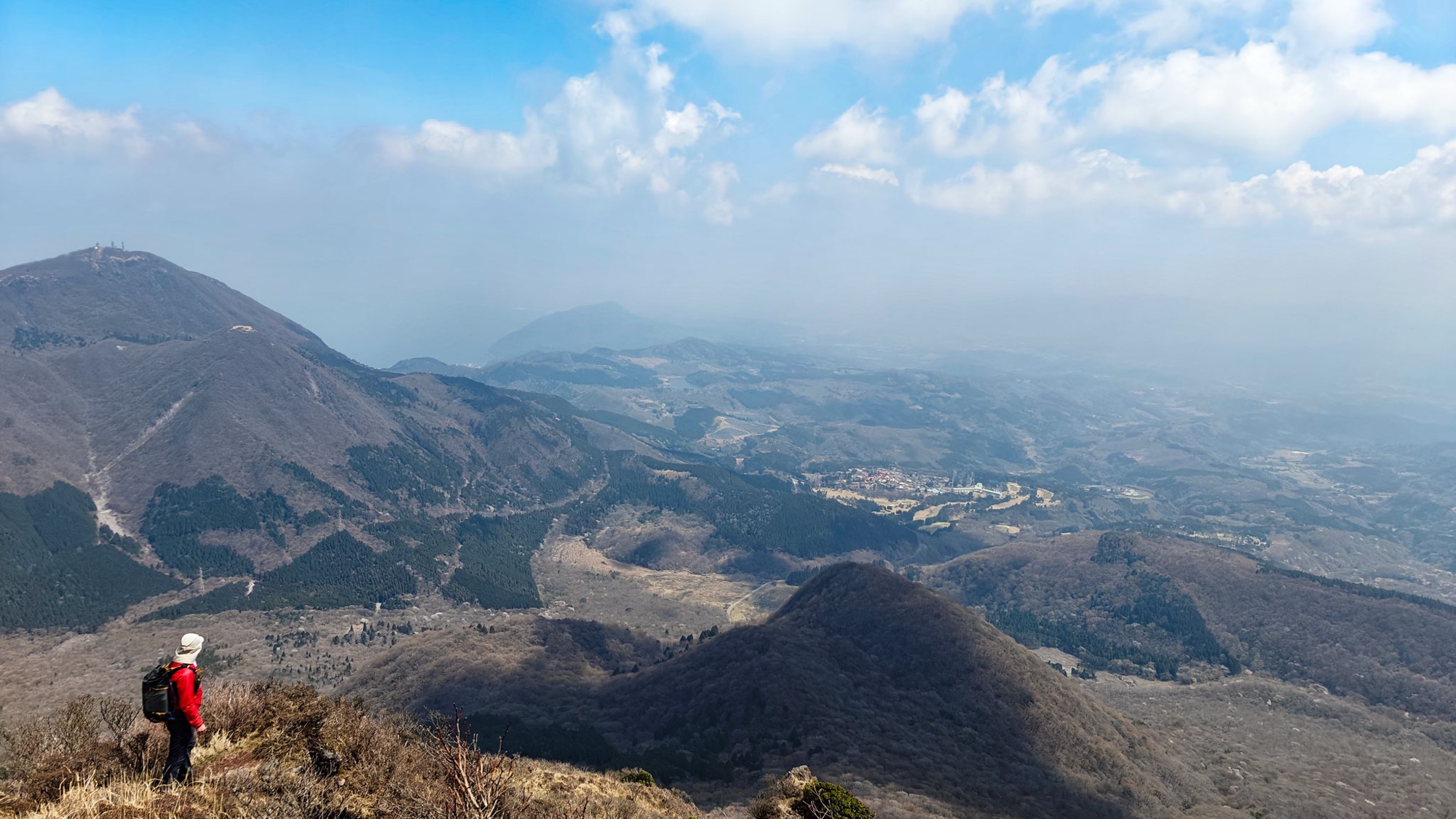
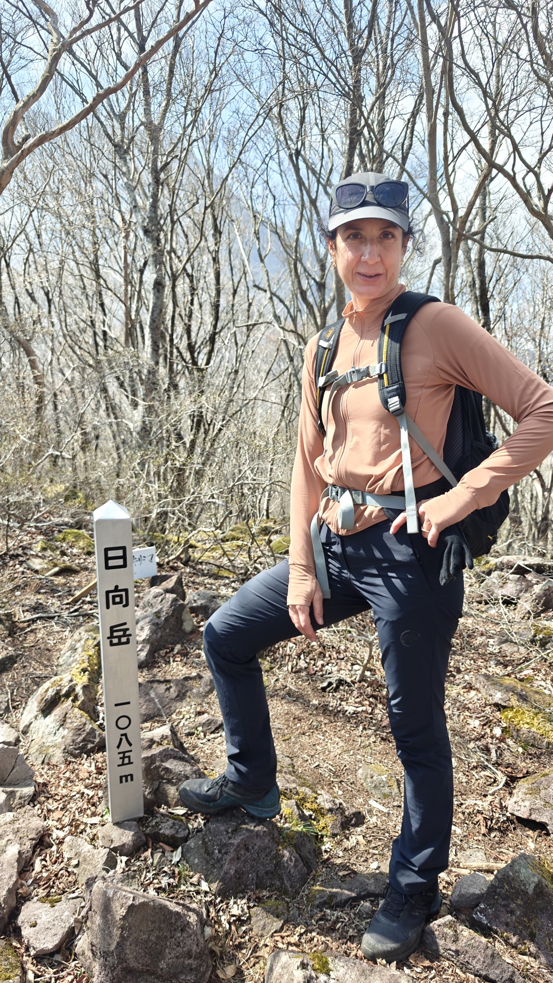
Lower down the loop crosses Hyūgadake, a wooded top of 1,085 m, before dropping back through the bare spring woods to the trailhead. Across the haze on the Beppu side, Mount Tsurumi and its cluster of antennas marked the far edge of the view.
Yufuin town as a base
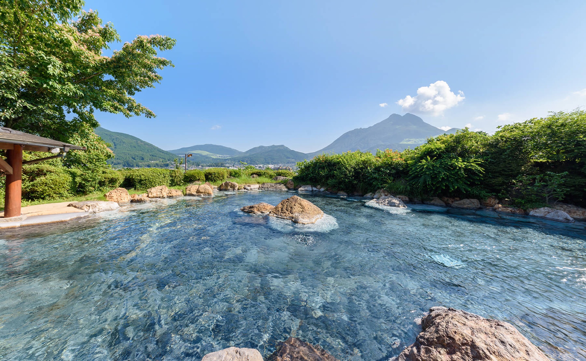
We stayed two nights in Yufuin Onsen and used a day for the mountain. Yufuin is touristy in its own right, but it is smaller and calmer than Beppu next door, and an easy place to come back to after a long climb. If you want a second walk from the same base, the crater hike on Garandake sits on the ridge straight across the valley.
Good to know
- Getting there
The front trailhead (由布岳登山口, Yufudake Tozanguchi) sits on the Yamanami Highway between Yufuin and Beppu, inside Aso-Kujū National Park. We came by rental car, which is the most convenient way; there is parking and a toilet at the trailhead. Otherwise, a Beppu-bound bus from the Yufuin Station bus centre reaches the "Yufu Tozanguchi" stop in about 15 minutes.
- Route
Our loop was 9.23 km with about 1,048 m of ascent and 4 h 32 min of moving time: up via Iimorigajō and the Mataé saddle to the East Peak (1,580 m), and down over Hyūgadake. A GPX track is available to download below.
- Difficulty & terrain
A strenuous full-day hike; wear proper boots and bring poles. Save some strength for the descent, the technical half of the loop. The West Peak (1,583 m) adds an exposed scramble, signed for experienced hikers only.
- Season
For us, mid-April meant dry grass, haze, and cloud building over the summit by midday — start early for the clearest views, and avoid strong wind on the exposed upper mountain.
- Where to stay
Yufuin Onsen is the natural base. We stayed at Yufuin Baien Garden Resort; from an earlier trip we would also recommend Yama no Hotel Musōen, both with open-air baths.
- Official links
- GPX track
-
Download the GPX track of Mount Yufu East Peak hike, for your maps app or GPS watch.
- Location
-
Yufuin Open in maps (external link)
- Details
-
Visited Last checked