Amakusa Matsushima Kyushu Olle walk
九州オルレ天草・松島コース
A Kyushu Olle course on Amakusa, from the shore at Chiju over two rock summits with the islands of Amakusa Matsushima spread out below.

From Chiju to the Matsushima islands
The Amakusa Matsushima course belongs to Kyushu Olle, the network of waymarked walks across Kyushu modelled on Korea’s Jeju Olle. It crosses the western end of Amakusa Kamishima, from the Chiju Kannon above the bus stop at Chiju (知十) to the port at Aitsu.
The ground changes from rocky shores, to rice field valleys, two summits, then a long drop back to the water. We have also walked the Saiki Onyujima, Ureshino and Karatsu courses.
We started on a cloudy morning in early April. The cloud sat on the ridges all day and never cleared, nevertheless took nothing off the pleasant walk. In four hours we met no other walkers and no tourists.
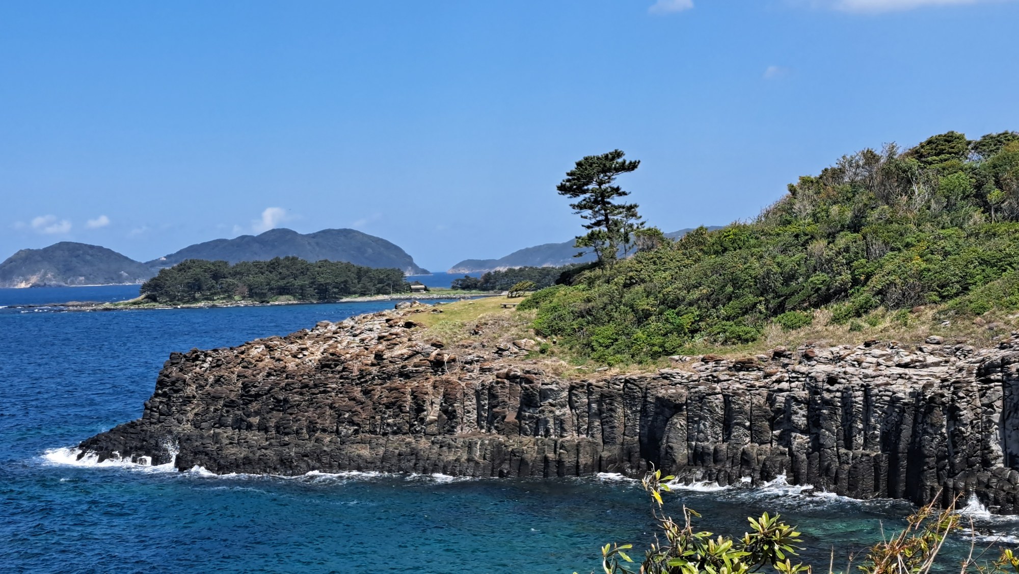
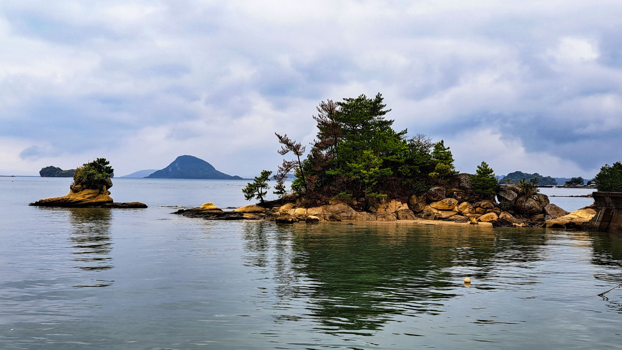
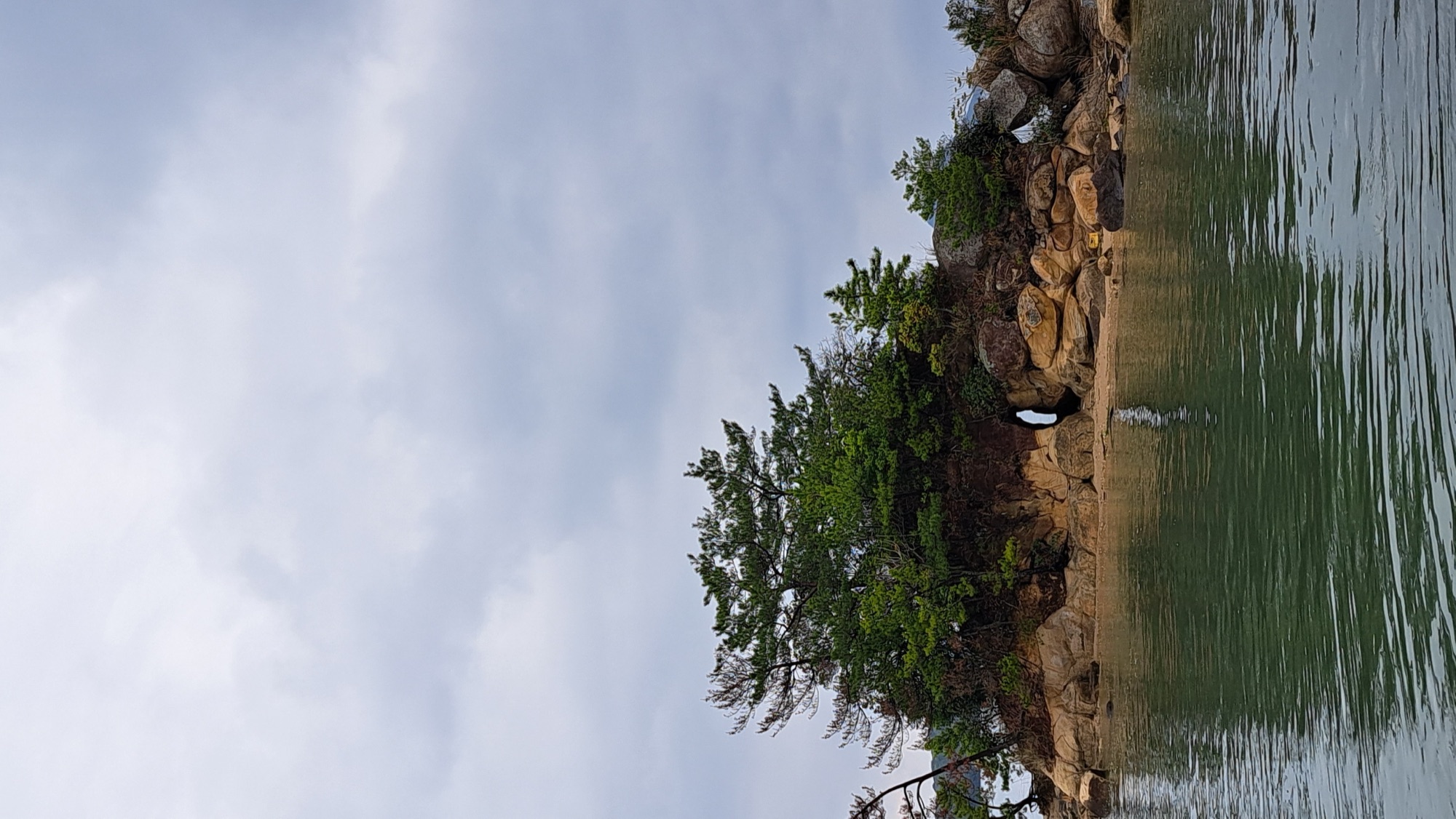
The first stretch drops to the shore at Chiju, where small rocks topped with pines stand just off the beach in shallow green water.


The rice fields
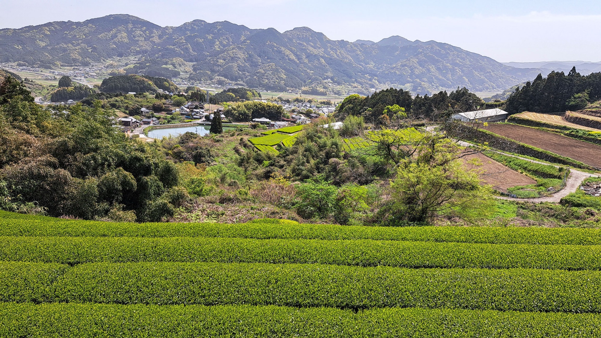
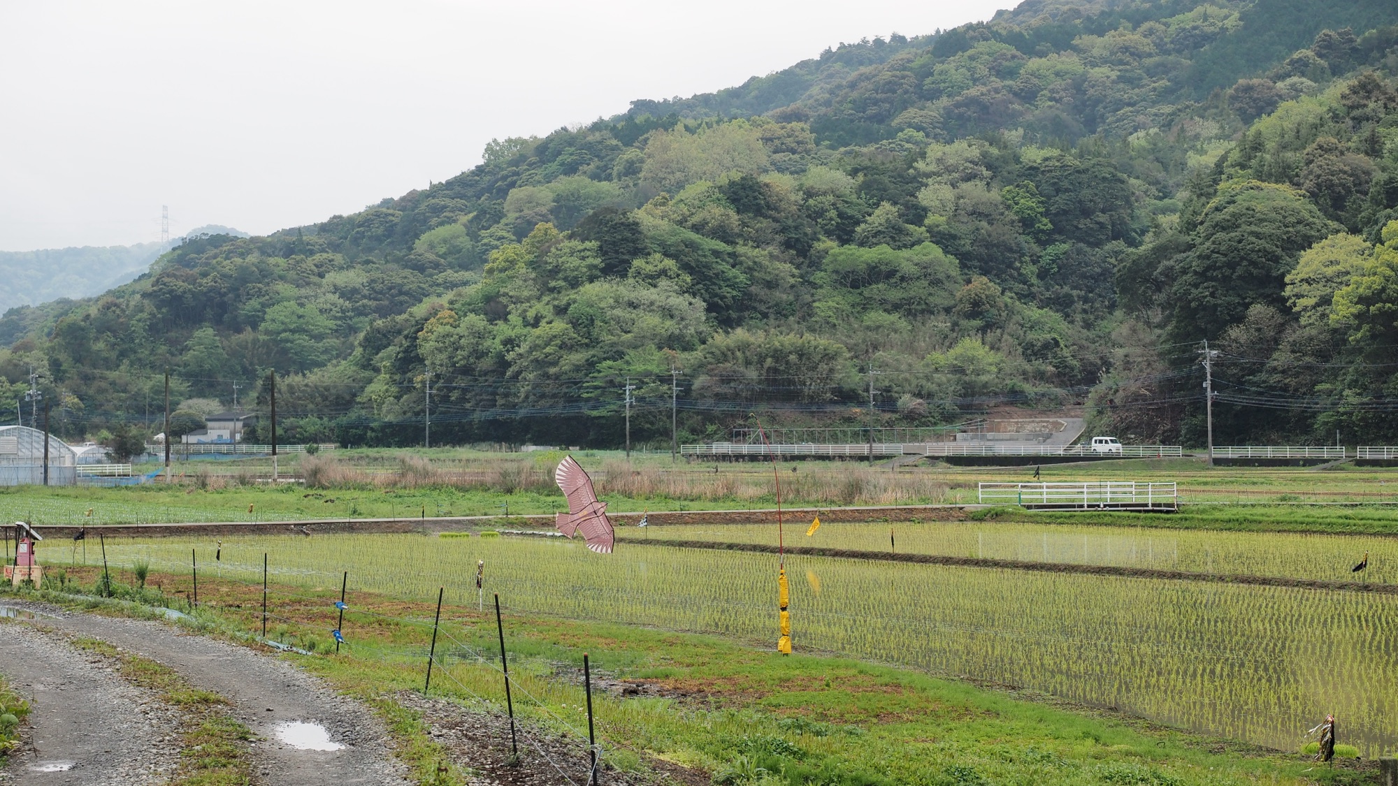
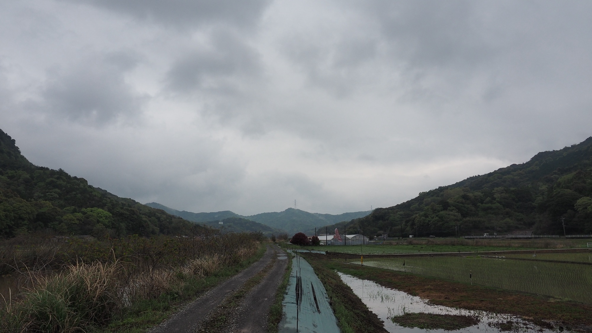
Behind the shore the course turns inland and up a broad valley of paddies. In early April they were flooded and some were already planted. This is Amakusa's early rice, and the course counts more than six hectares of it along the way. The farm tracks between the fields are flat and easy walking, and the mountain path starts at the top of the valley.


Sengen Moridake, the high point
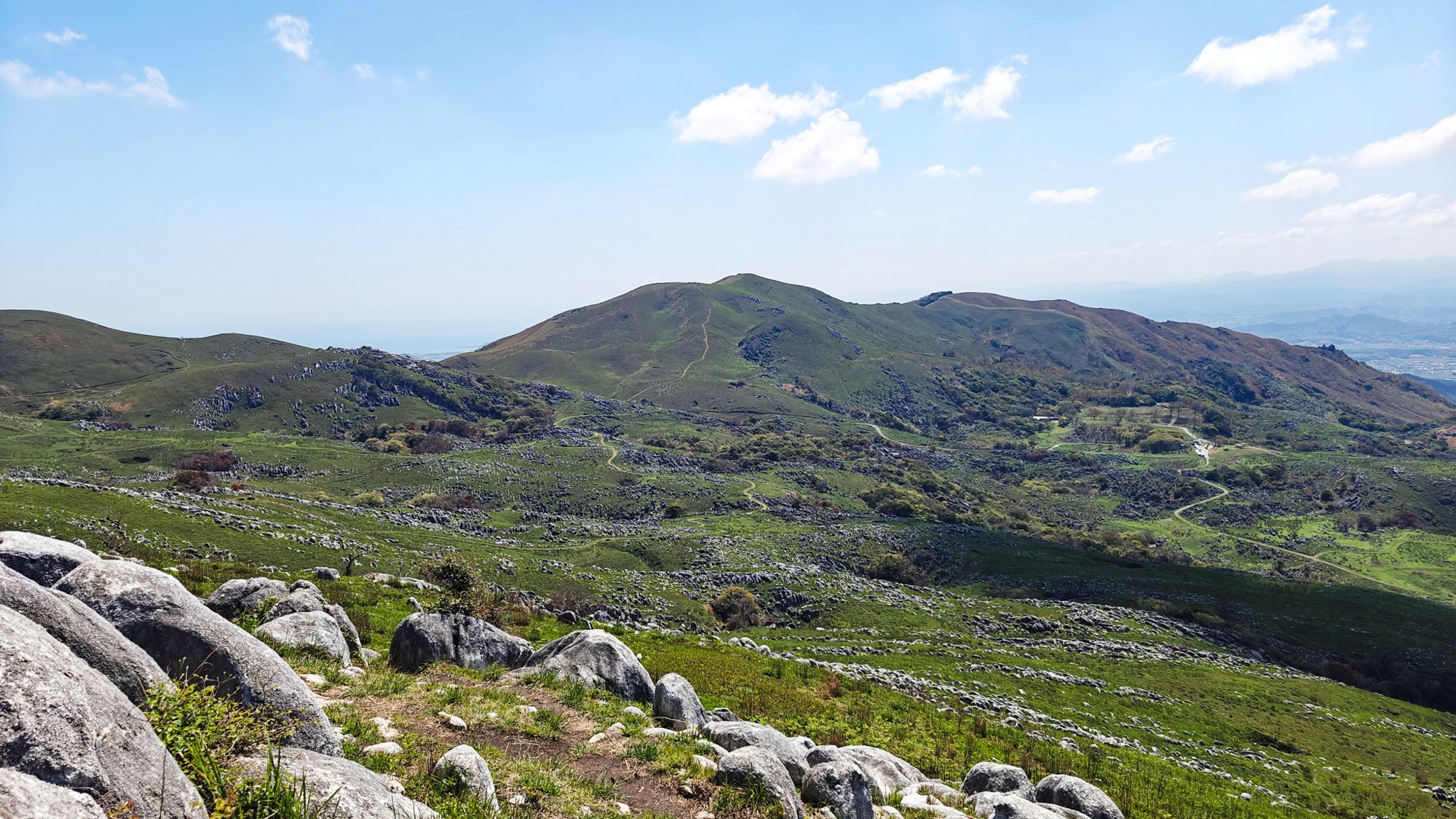
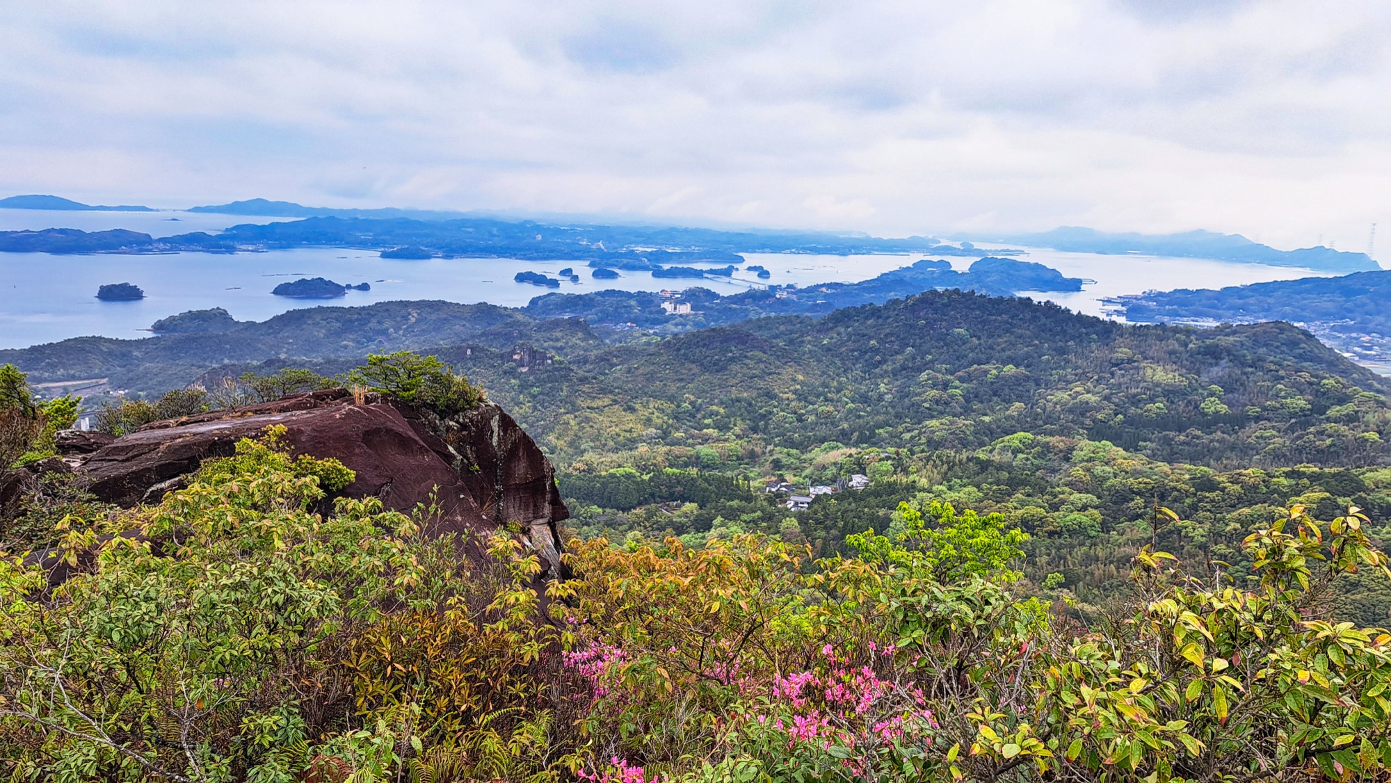
The path climbs through forest to Sengen Moridake (千元森嶽), the highest point of the course at 233 meters. The top is a group of big rounded boulders, red brown where the stone is bare, and the gaps between them frame the valley we have just come up.
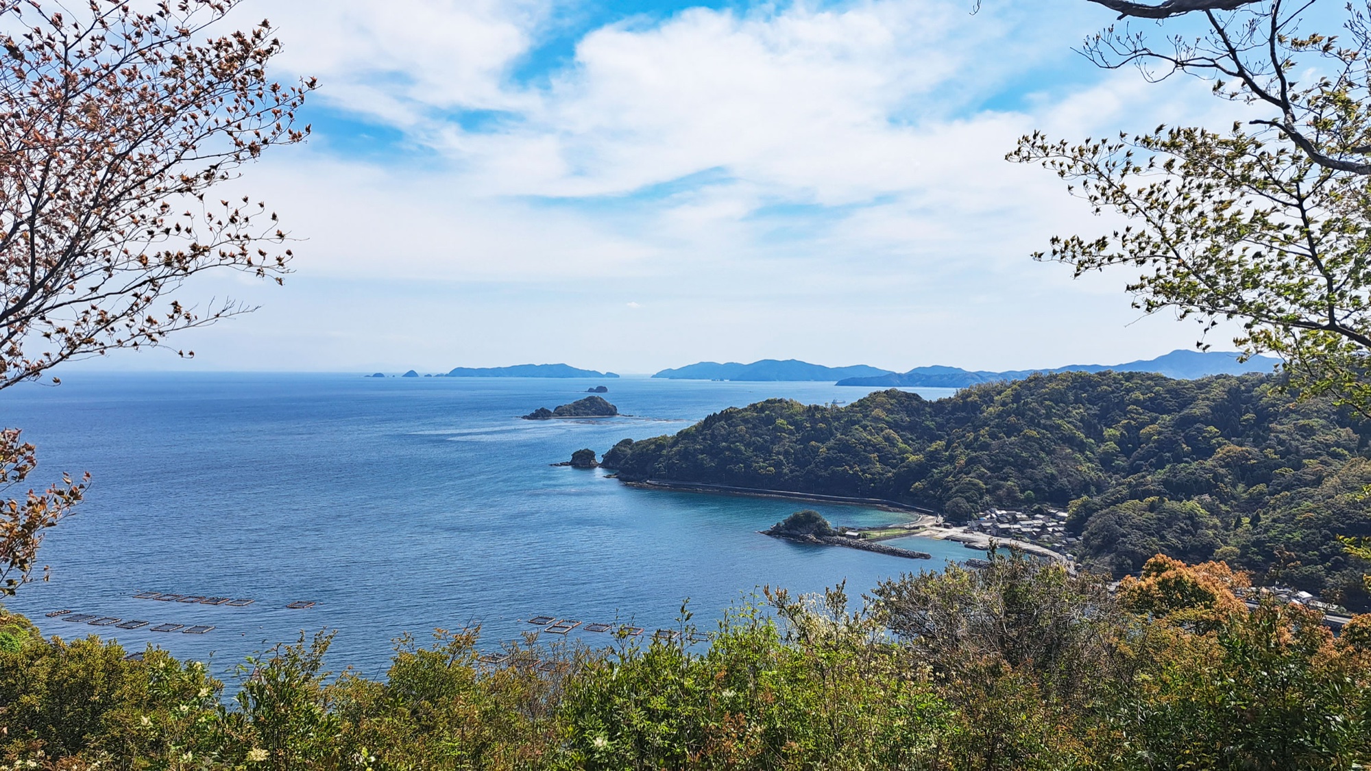
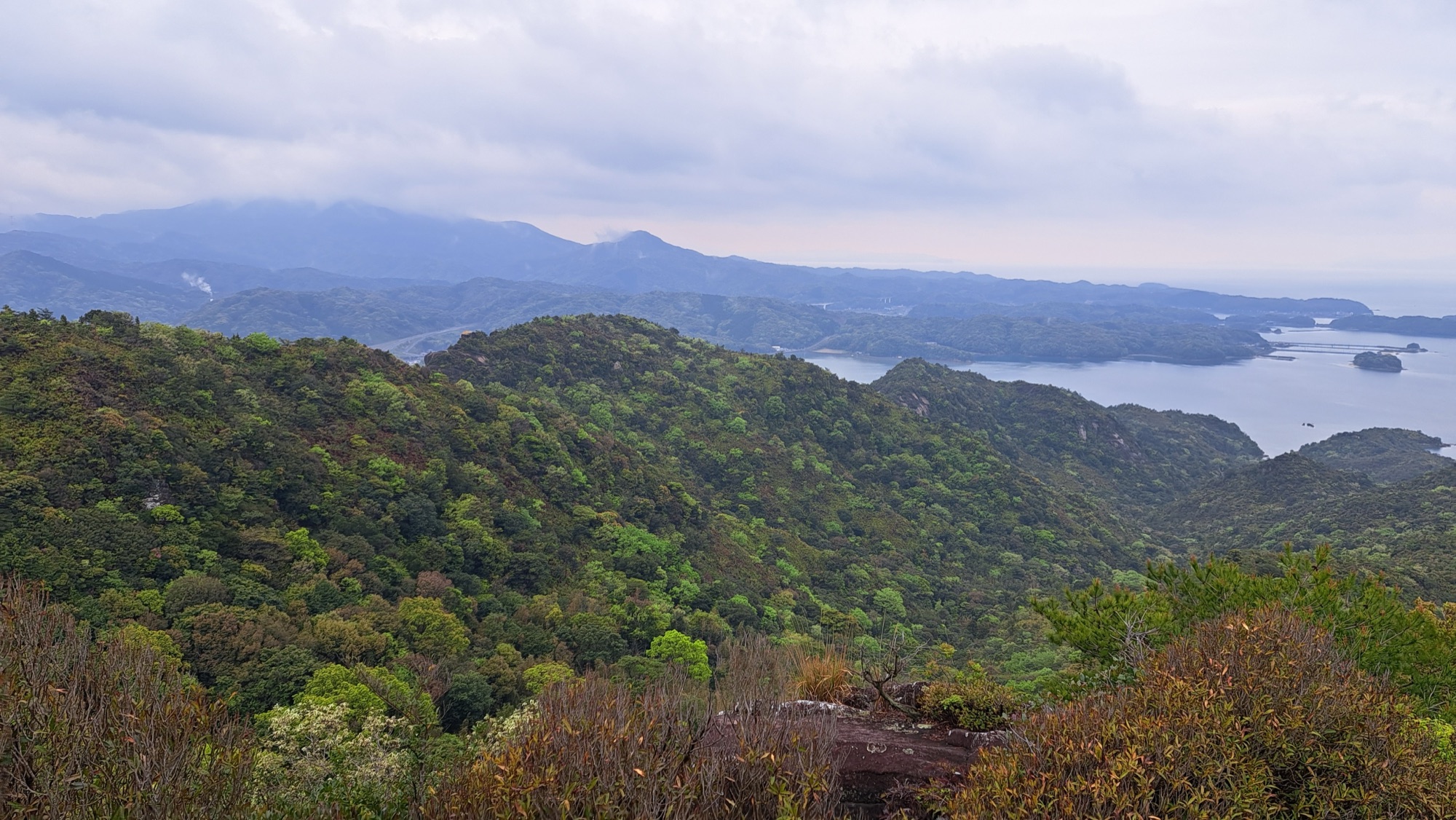
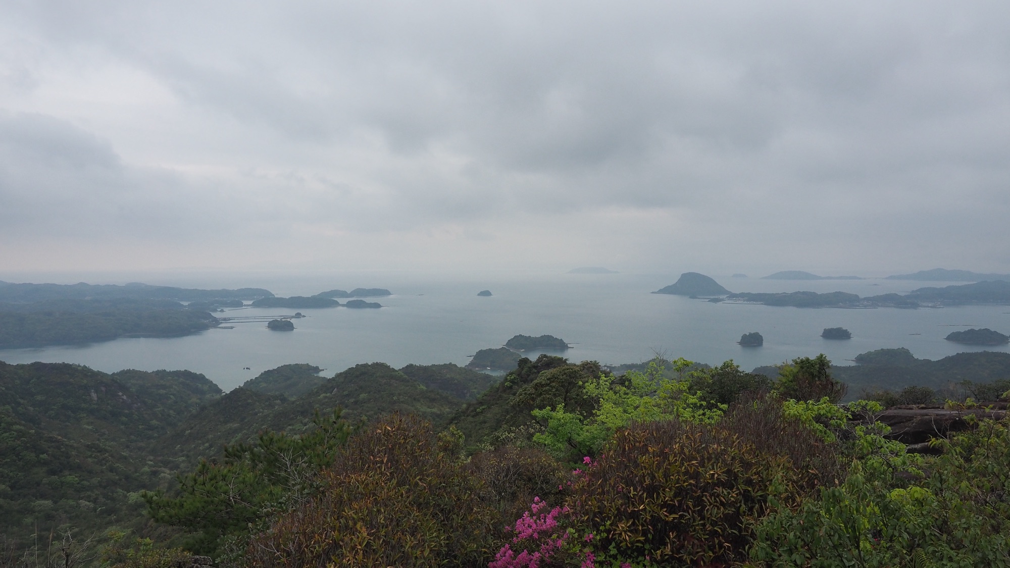
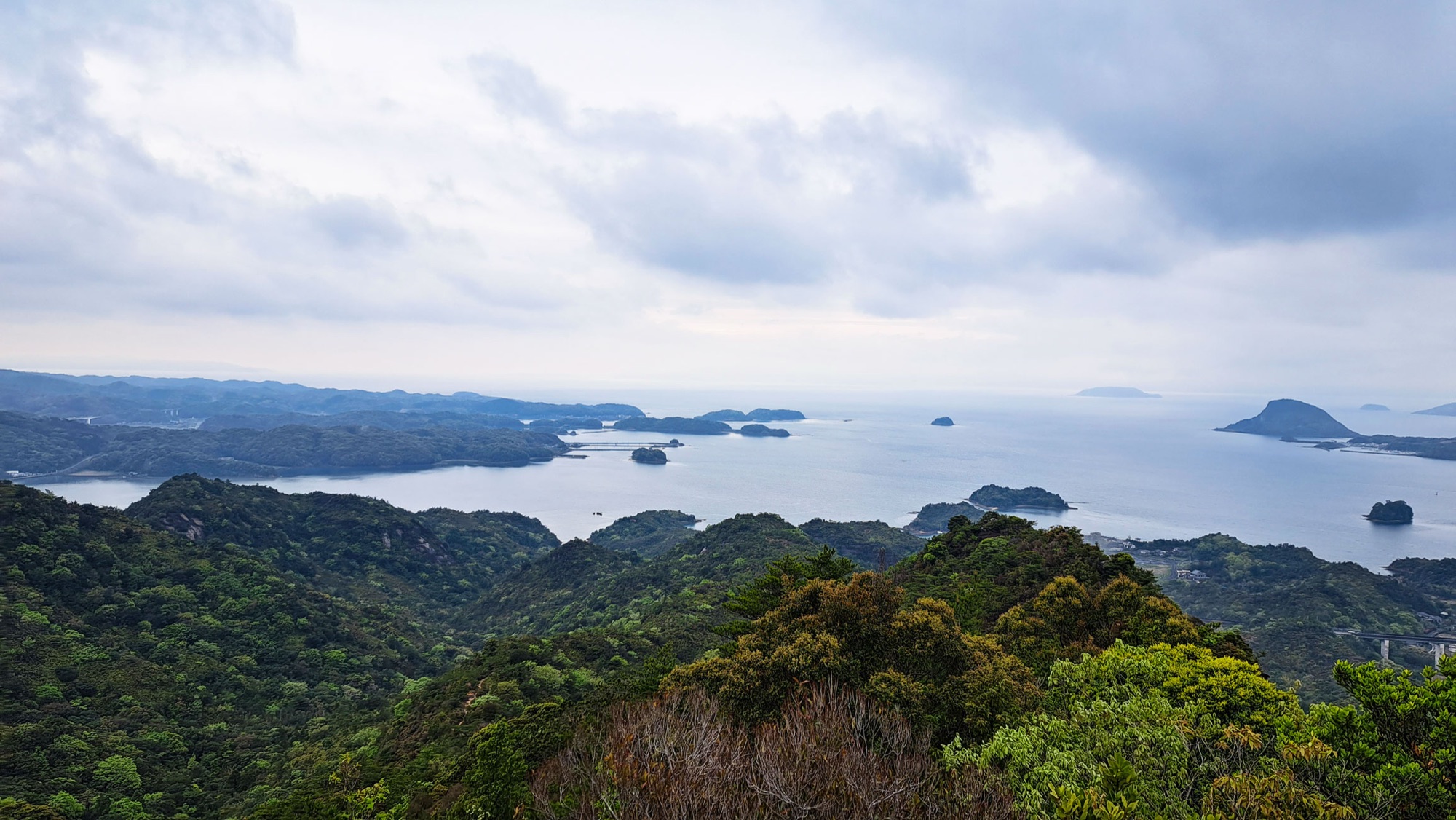
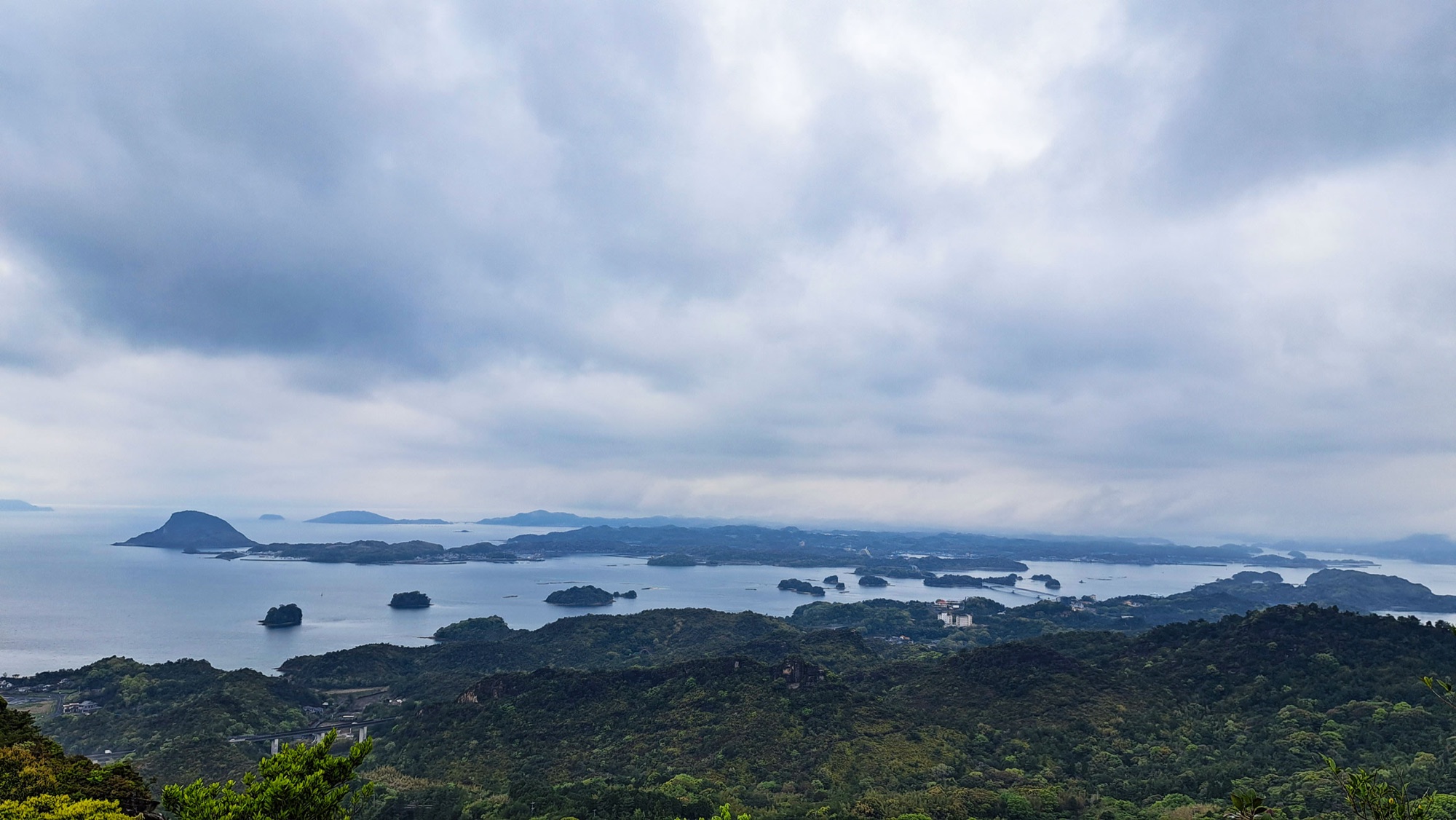
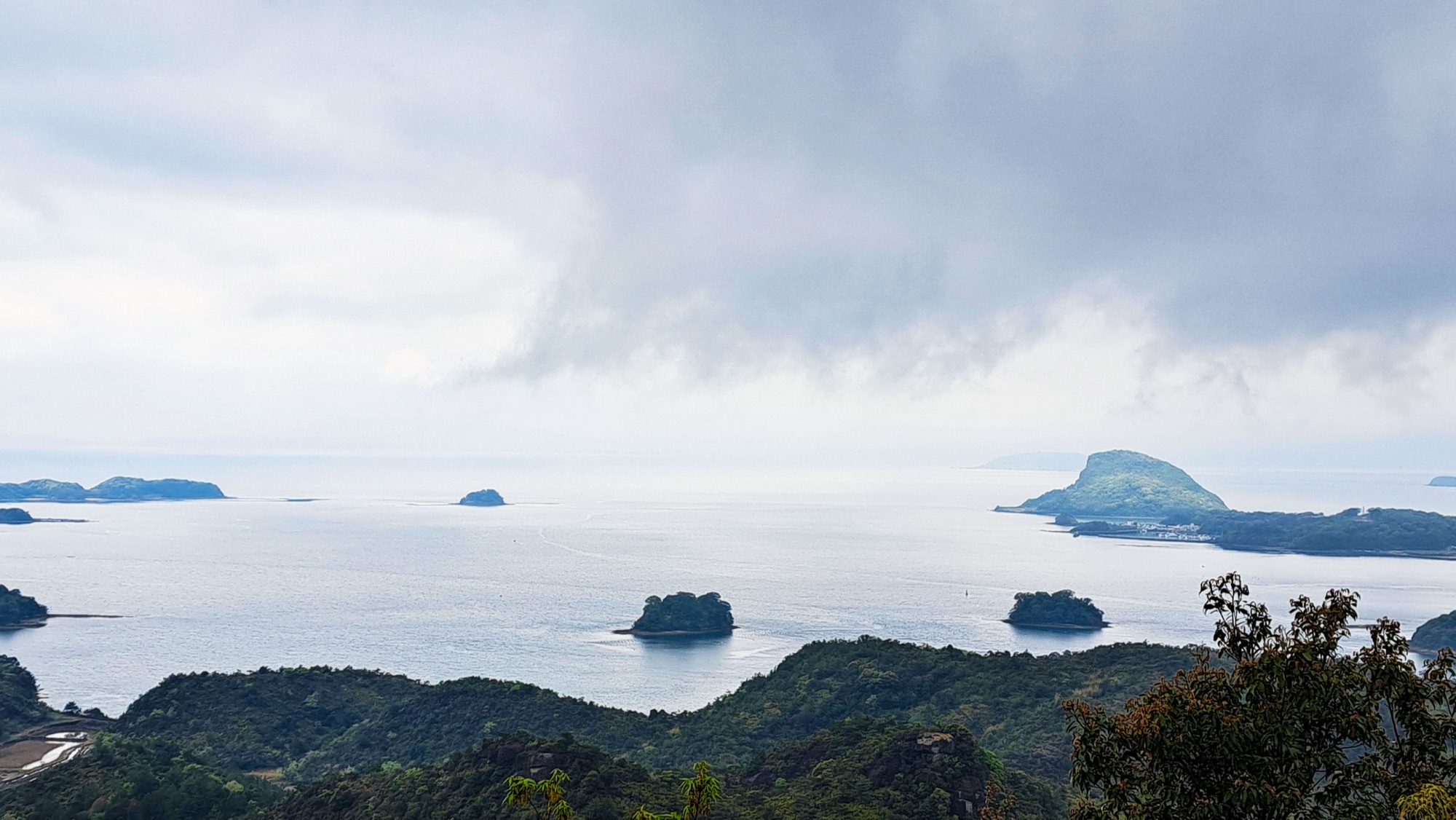
Round on the seaward side the whole of Amakusa Matsushima opens out: roughly twenty wooded islands scattered between Oyanojima and Amakusa Kamishima, with more of them sitting out on the horizon. Azaleas were in flower in the scrub along the edge.



Mount Sengan and the megalith
Mount Sengan (千巌山) comes about two kilometres further on. It is the lower of the two summits but the named one: a nationally designated Place of Scenic Beauty, with a road and a car park on the far side. Amakusa Shiro Tokisada, the sixteen-year-old who led the Shimabara and Amakusa rebellion, is said to have held a victory banquet up here in 1637.
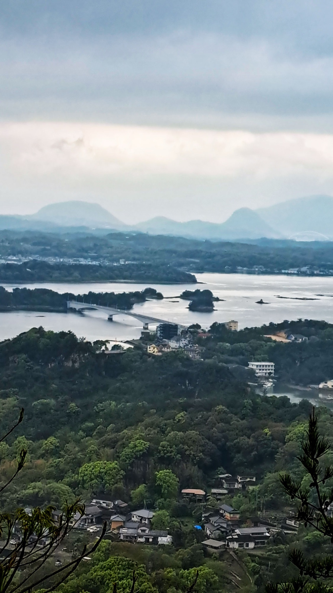
From the top you look down on the bridges. The Amakusa Gokyo, five of them, opened in 1966 and carry the road out from the mainland at Misumi across the islands.
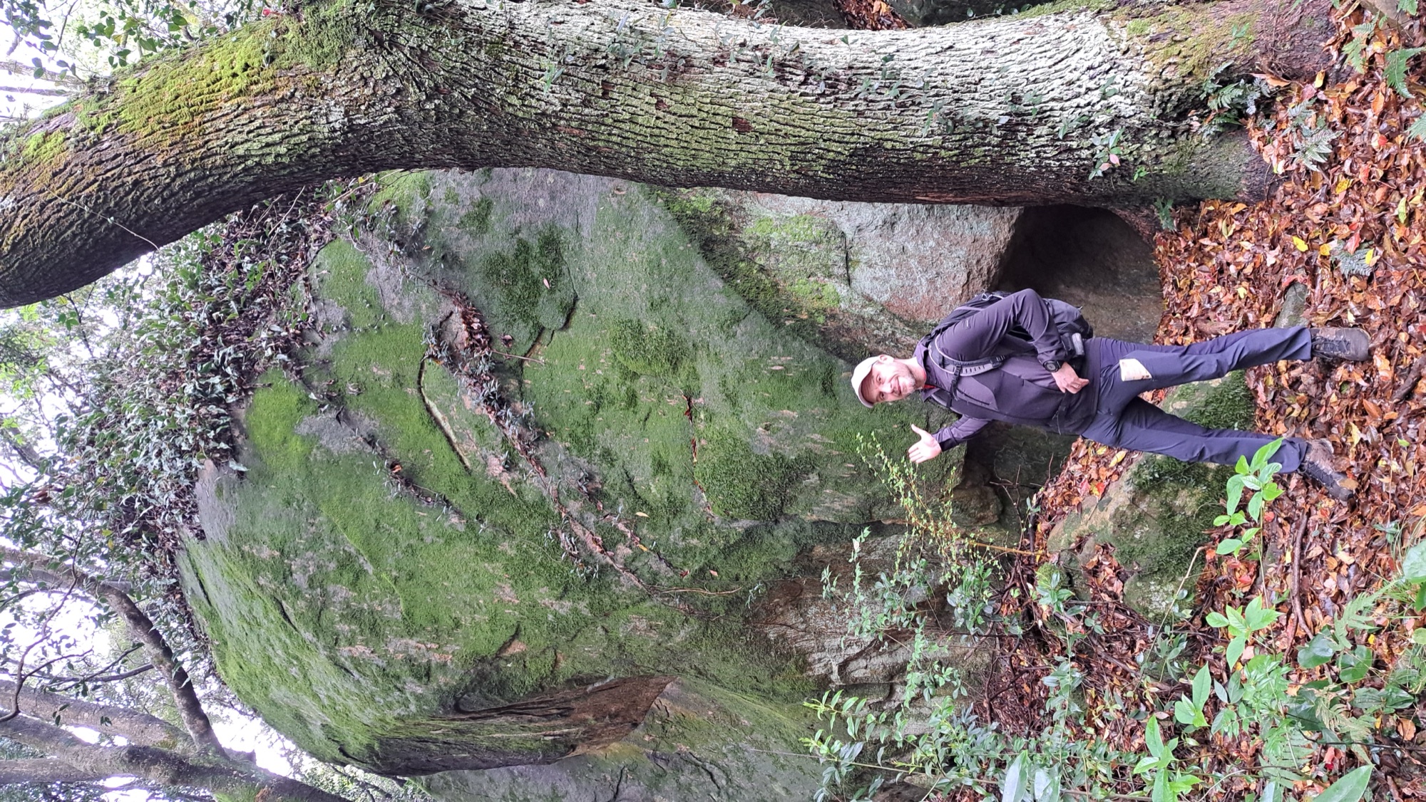
Just past the summit the path drops into the forest and passes the megalith, a boulder the size of a house, mossed over and leaning out above the trail. This is the section the fallen trees closed.
Down to Aitsu and over the red bridge
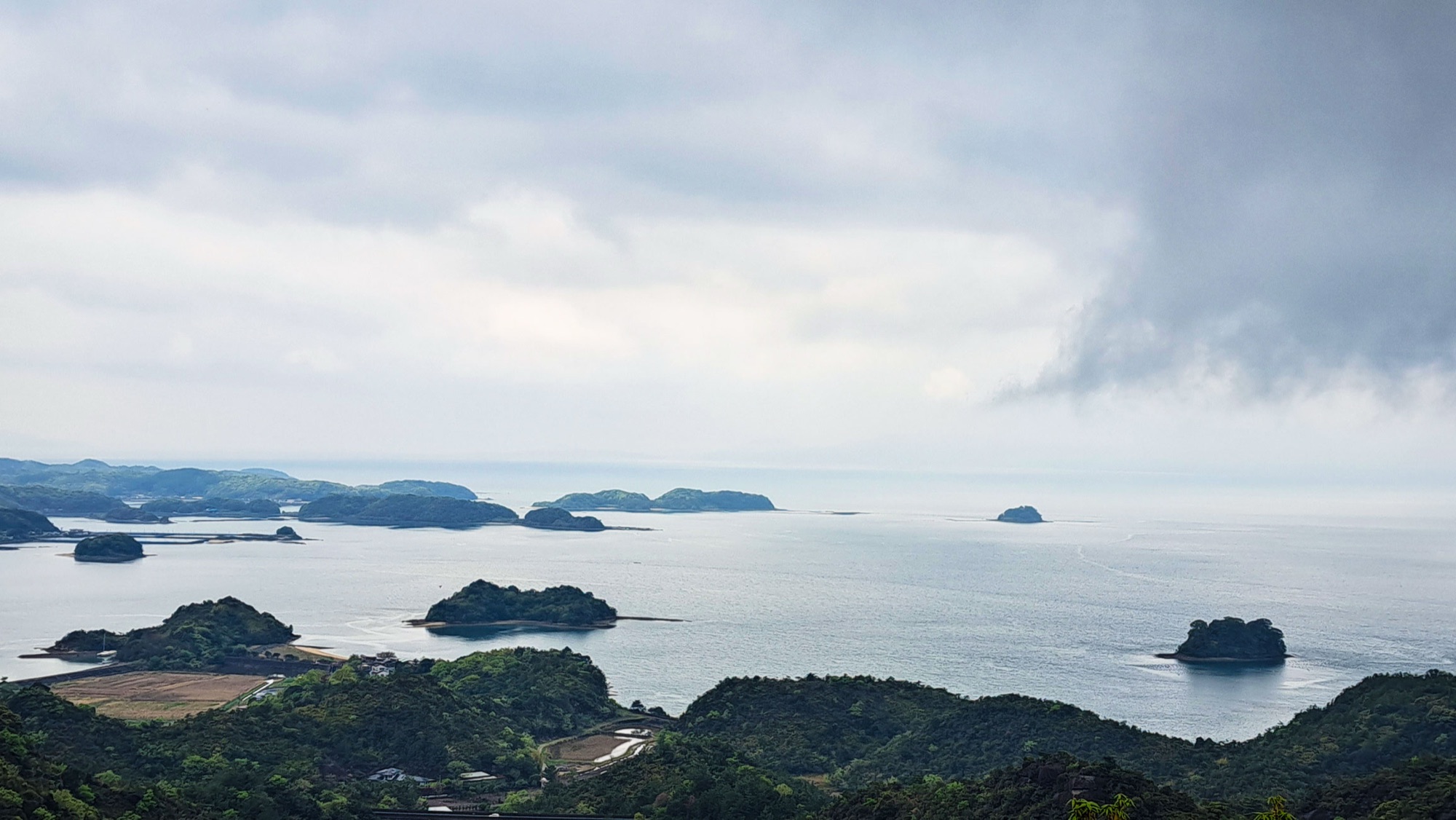
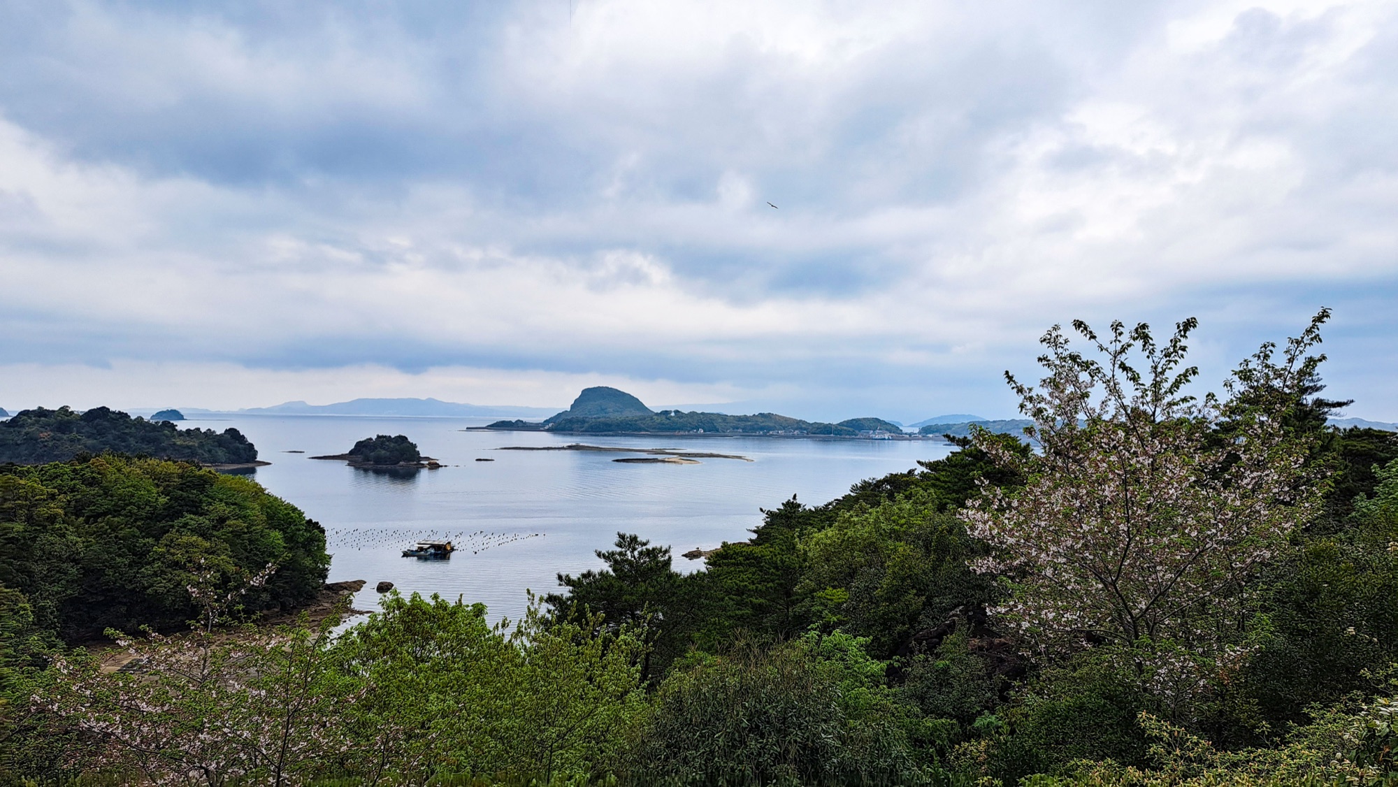
The descent is long and mostly in trees. It passes a big tiled house with clipped pines and a mushroom shaped rock in the garden, then comes out above the village with the islands below and a cherry still in flower.
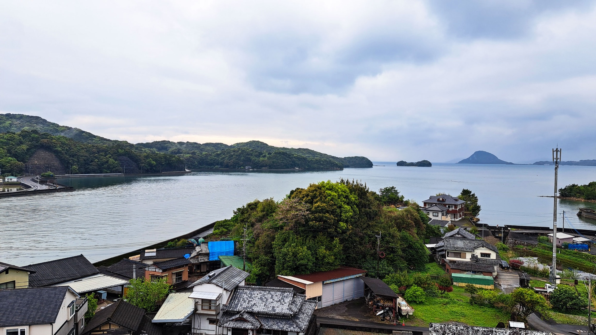
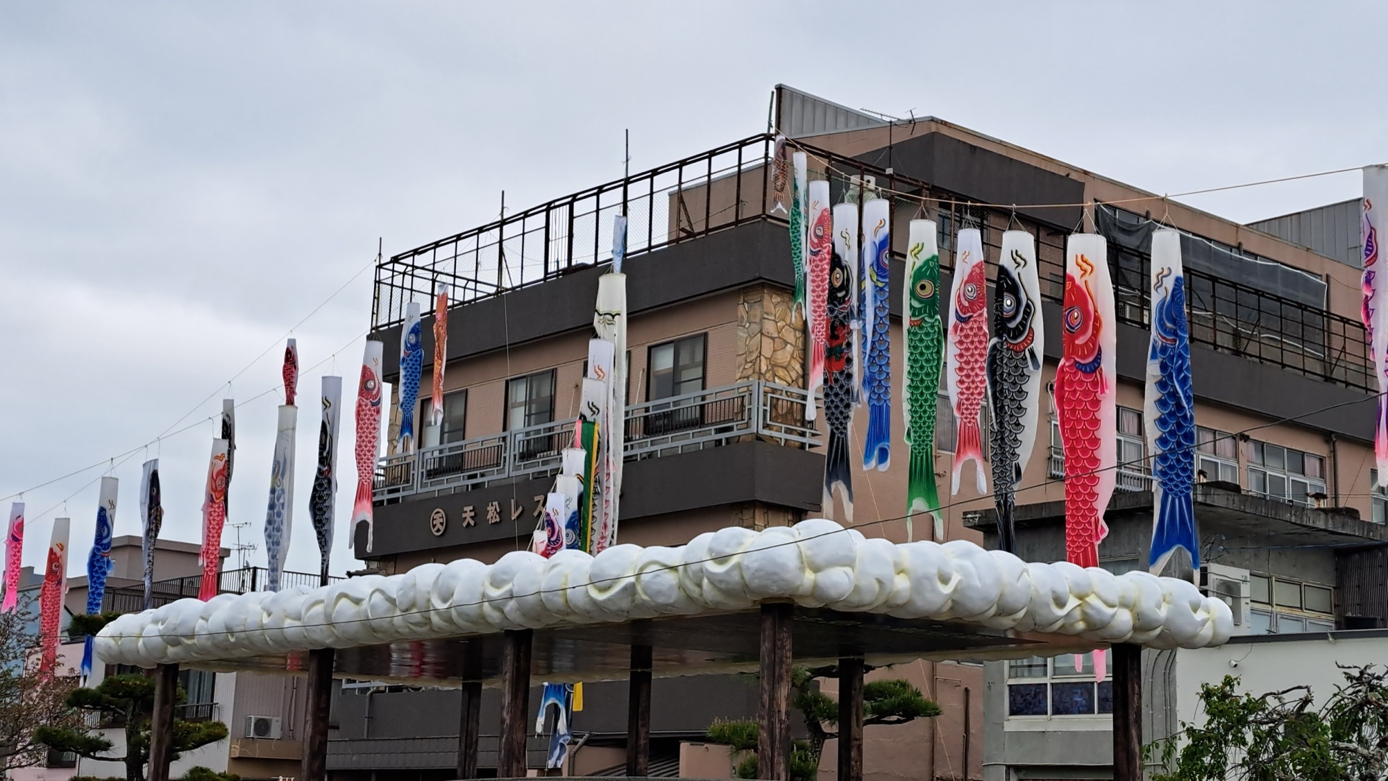
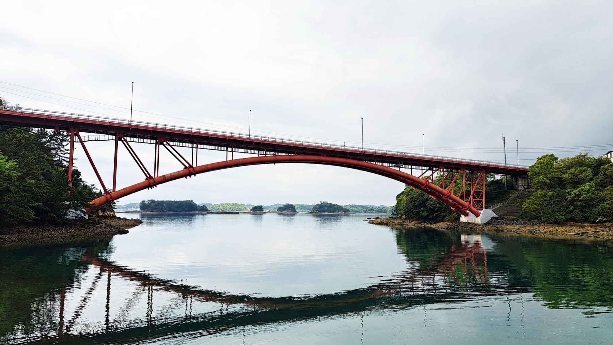
Aitsu is a small working port. Carp streamers were already strung above the road a month before Children's Day, and the inlet was flat enough to hold a full reflection of the bridge.
The Matsushima Bridge with its red piped arches connects Maegima, and is the fifth and shortest of the Amakusa Gokyo. Our hotel was on the far side, so we finished the day by walking across it.


Good to know
- Getting there
- To the start — Chiju bus stop (知十). From Kumamoto, the Amakusa express bus to Matsushima, then the local bus on to Chiju. The JR Misumi line to Misumi is the alternative approach.
- Back — the course finishes at the Ryu no Ashiyu foot bath by the port, a few minutes from Matsushima bus stop.
- Rural timetable. Check departures before you set out.
- Route & difficulty
- Official — 11.1 km, 4 to 5 hours, graded intermediate.
- Our track — about 14.5 km in 4 h 06 min, including the extra leg over the bridge to the hotel.
- Two climbs: Sengen Moridake 233 m, Mount Sengan 162 m. The rest is flat with farm tracks, forest paths and short stretches of road.
- Where we stayed
- Hotel Ryugu at Amakusa Matsushima Onsen, on Maejima across the fifth bridge from the finish. Two nights. Official site (external link).
- Official links
- Kyushu Olle – Amakusa Matsushima course (external link), including the current closure notice.
- GPX track
-
Download the GPX track of Amakusa Matsushima Kyushu Olle walk, for your maps app or GPS watch.
- Location
-
Amakusa Matsushima, Kumamoto Open in maps (external link)
- Details
-
Visited Last checked