Mount Mimata hike from Chojabaru
三俣山
A quiet spring hike from Chojabaru Visitor Center to Mount Mimata's west peak and main peak, with open volcanic views, dry grass ridges and rocky climbs.
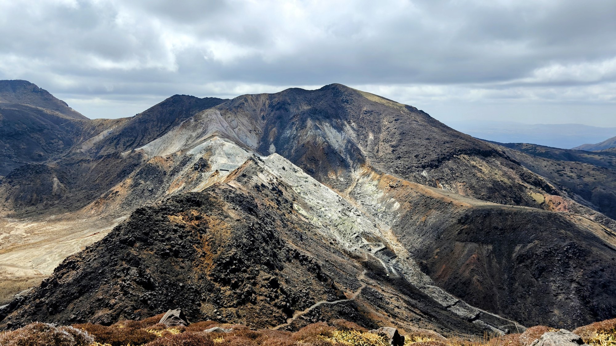
Mount Mimata from Chojabaru
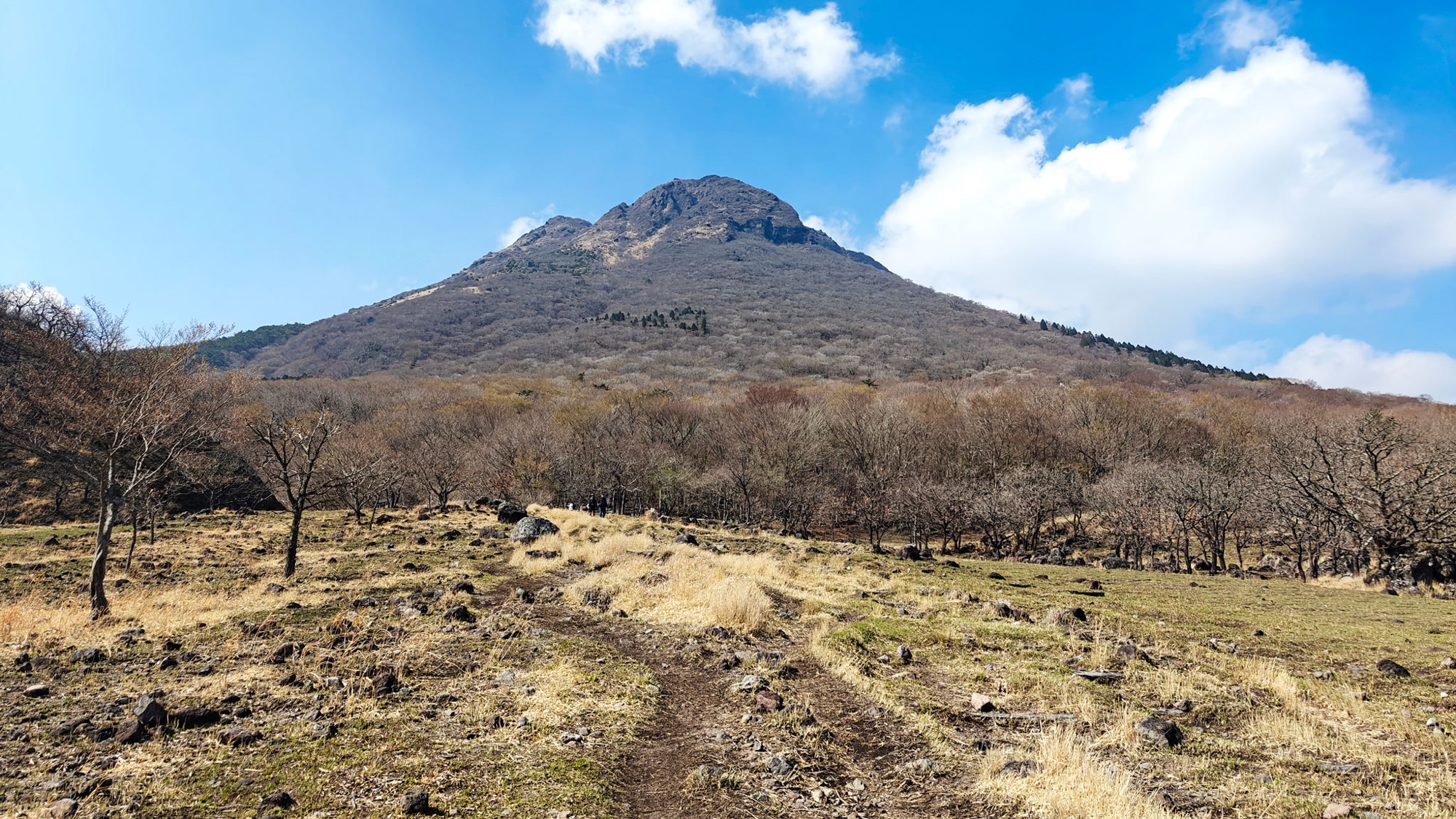
Mount Mimata rises 1,745 meters directly above the Chojabaru side of the Kuju mountains, inside Aso-Kuju National Park. The name is usually explained by the way the mountain looks like three peaks from many angles: 三 means three, and 俣 suggests a fork or branching shape. In practice, the mountain body is described as four named peaks: main, west, north and south.
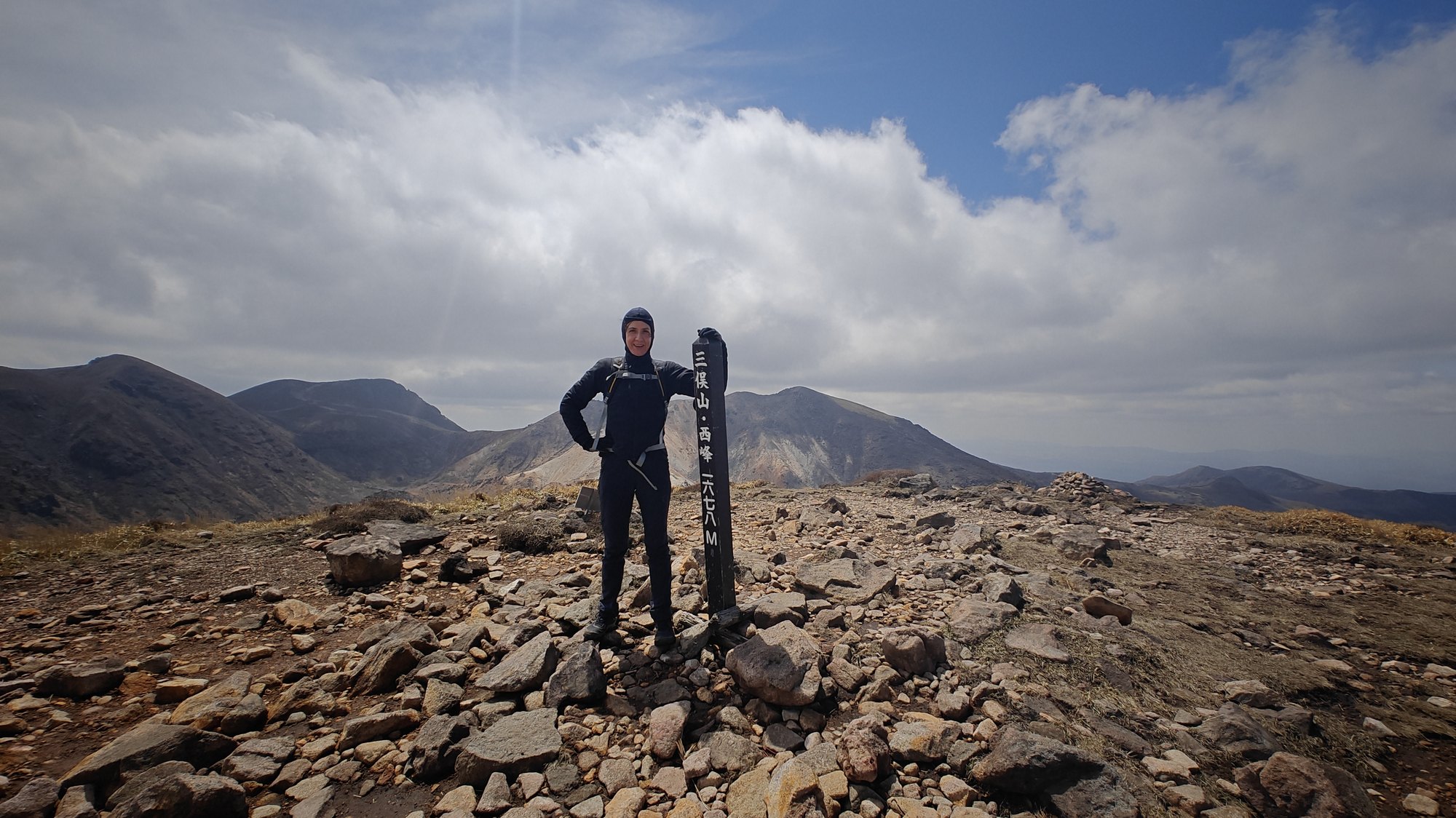
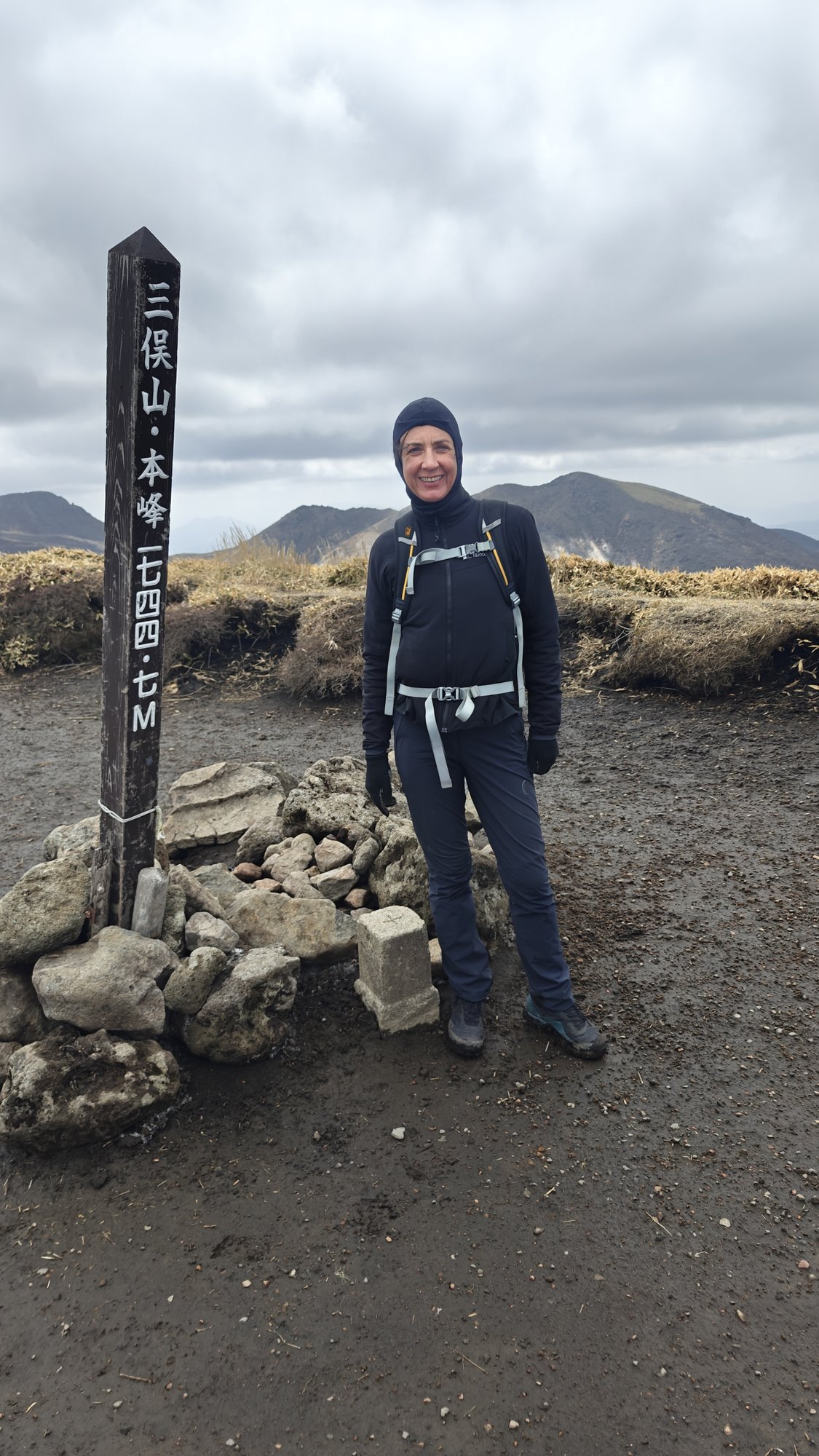
We hiked the west peak and main peak from Chojabaru Visitor Center on a clear April day. The weather was sunny but fresh with strong winds. The route was quiet too. We met only one older hiking group all day.
The walk was 10.87 km and took us about 4 hours with 863 meters elevation.
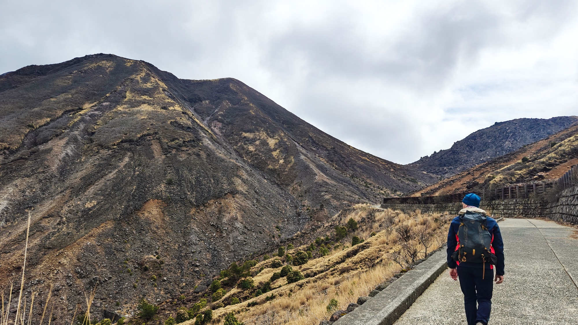
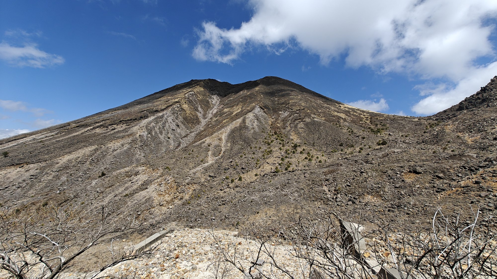
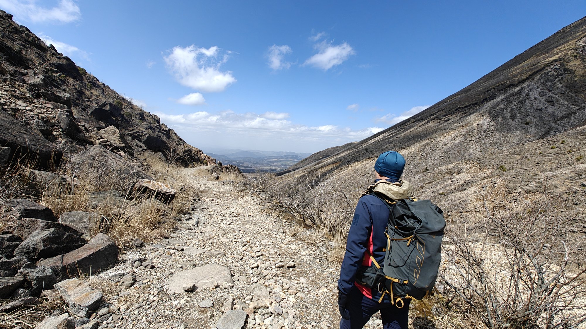
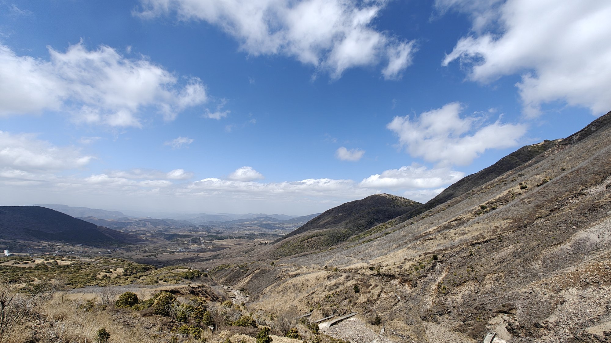
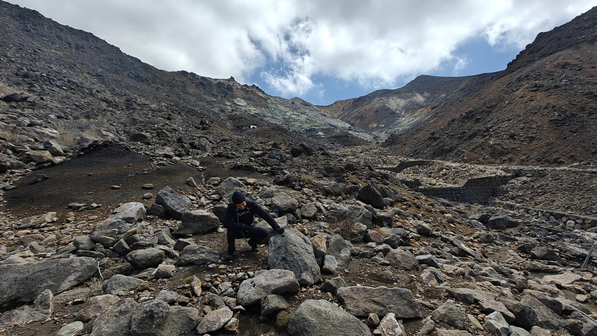
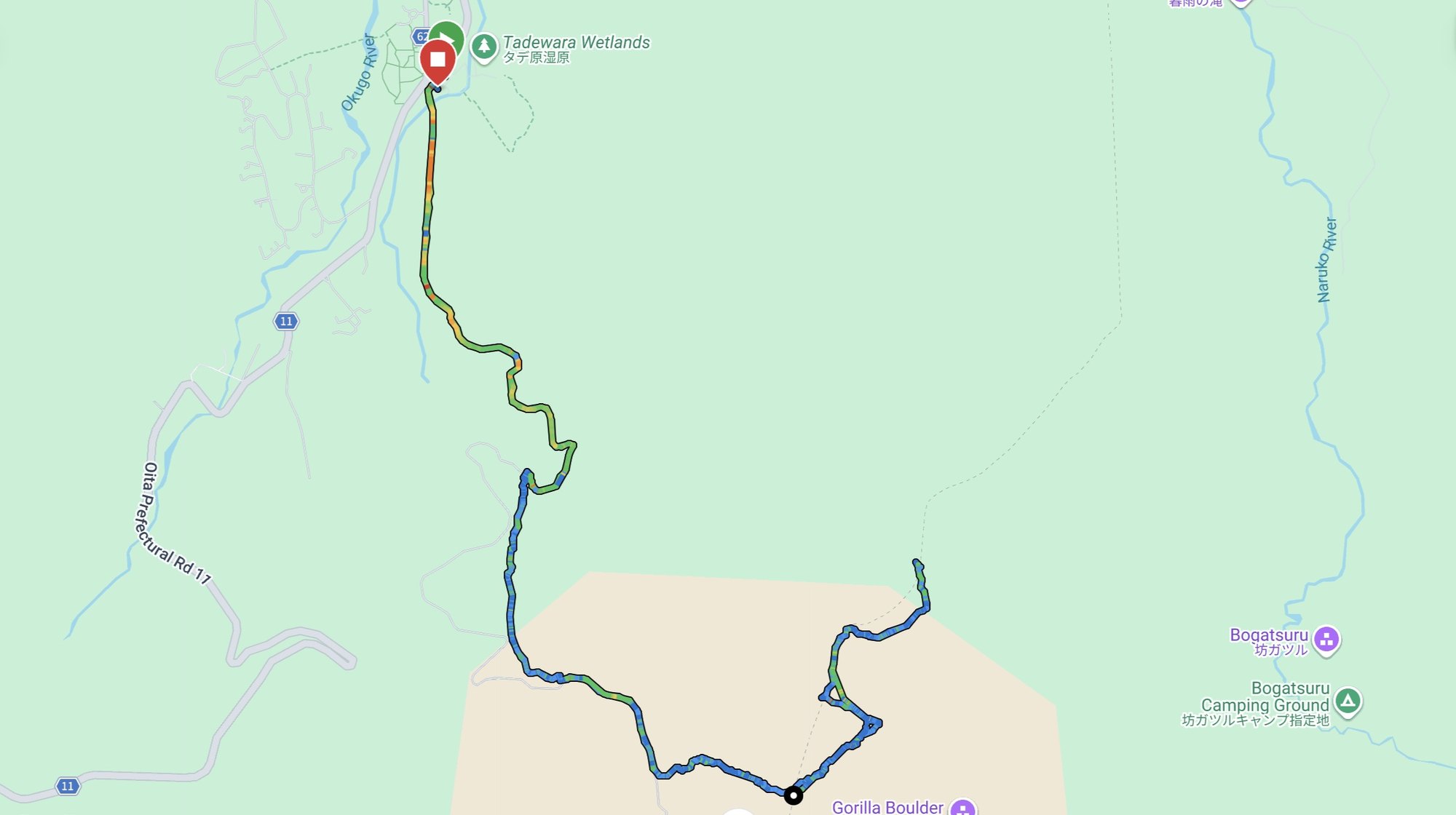
Route and views via Sugamori Pass
The official Mount Mimata route is often described as a longer loop, but we did not have enough time for that version. Instead, we walked an out-and-back route from Chojabaru Visitor Center to Sugamori Pass, then up to the west peak and main peak.
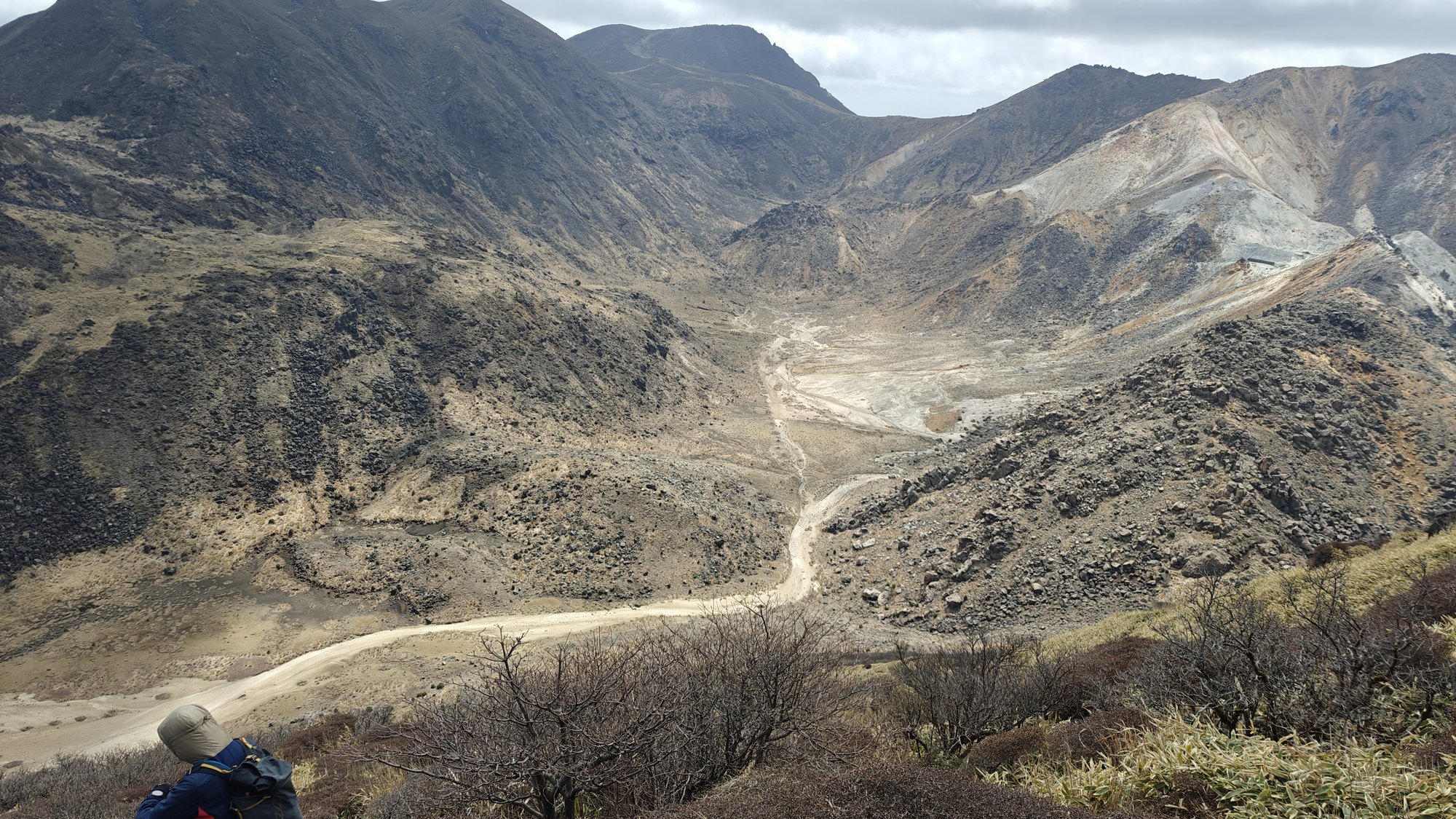
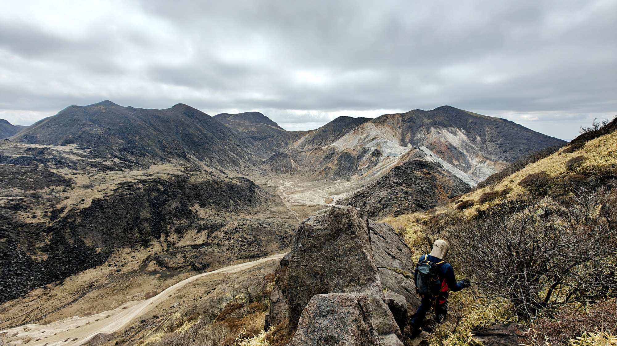
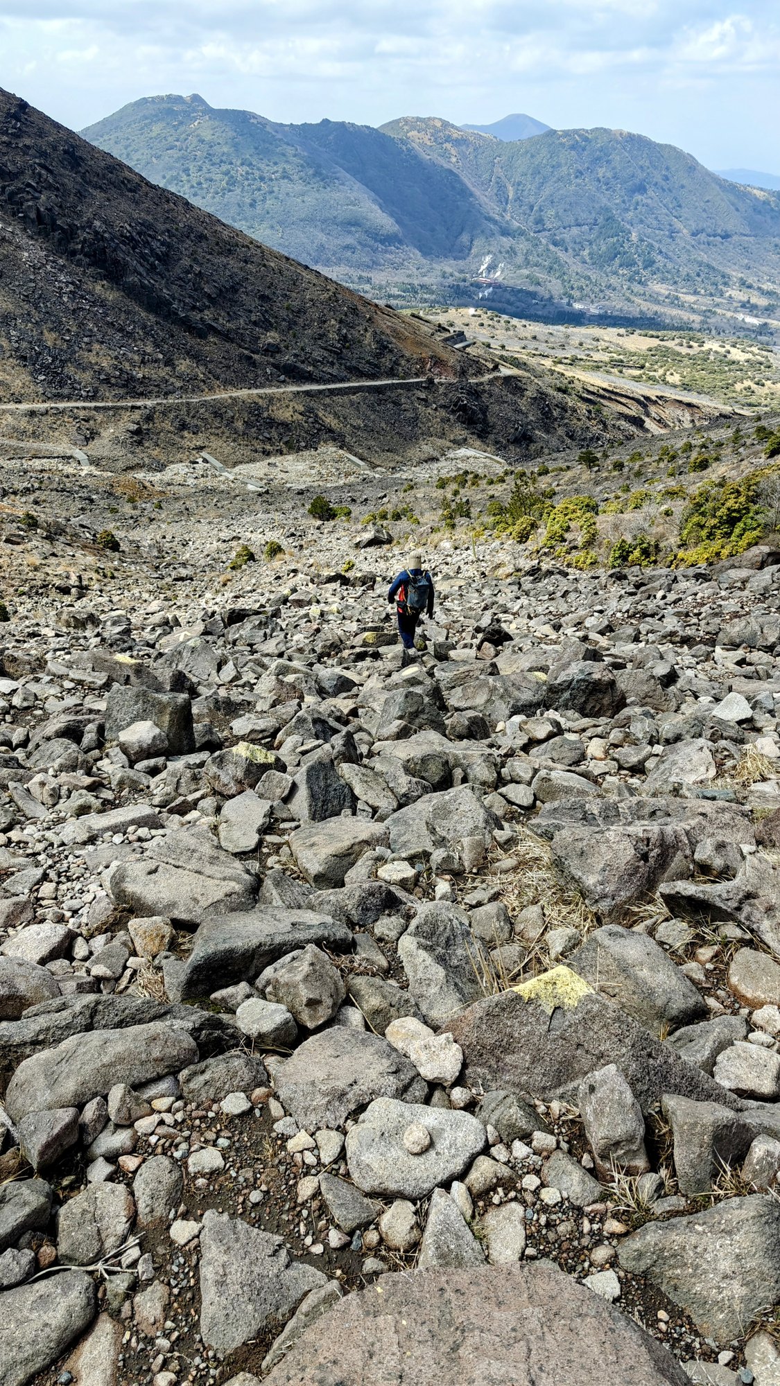
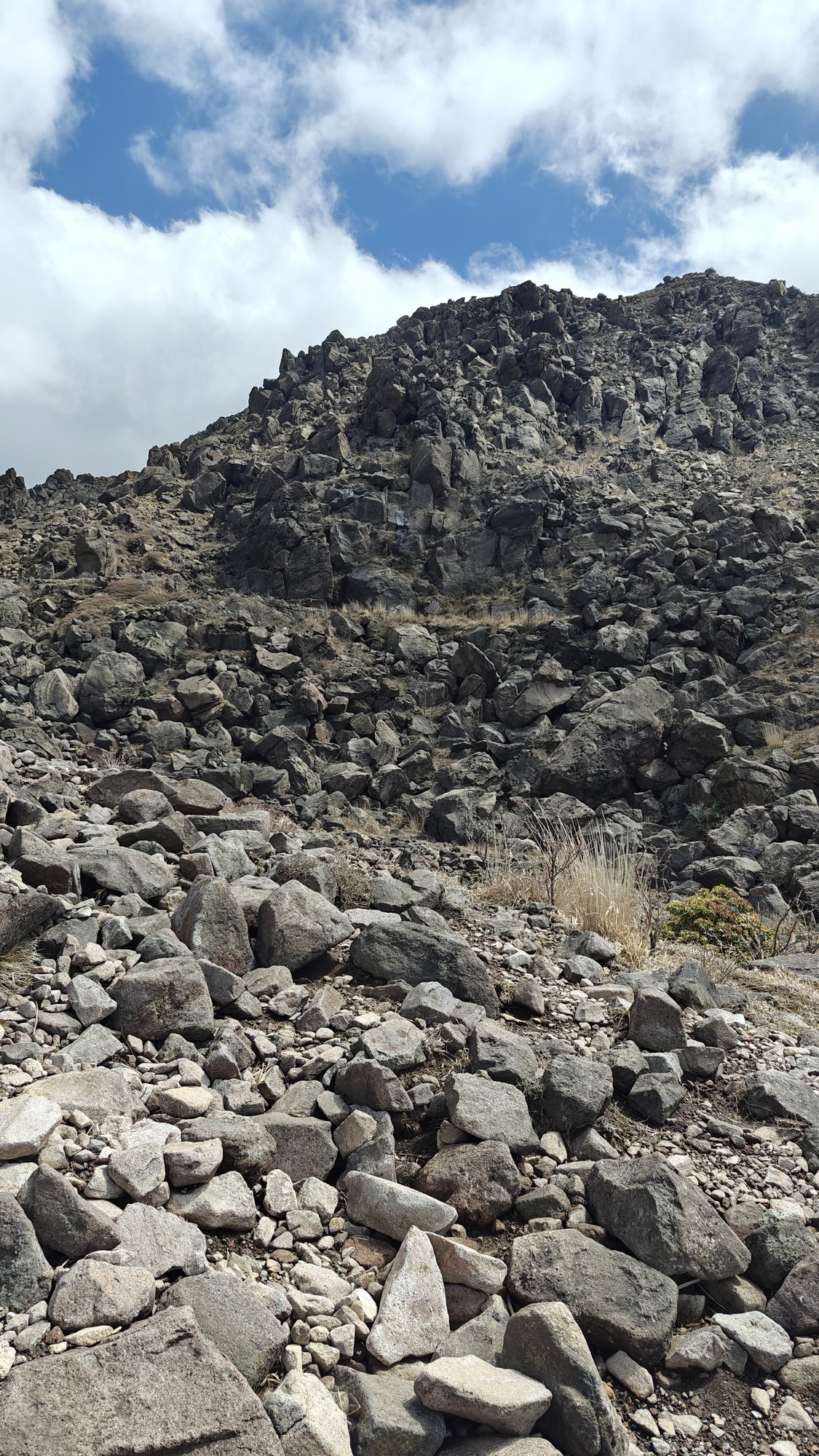
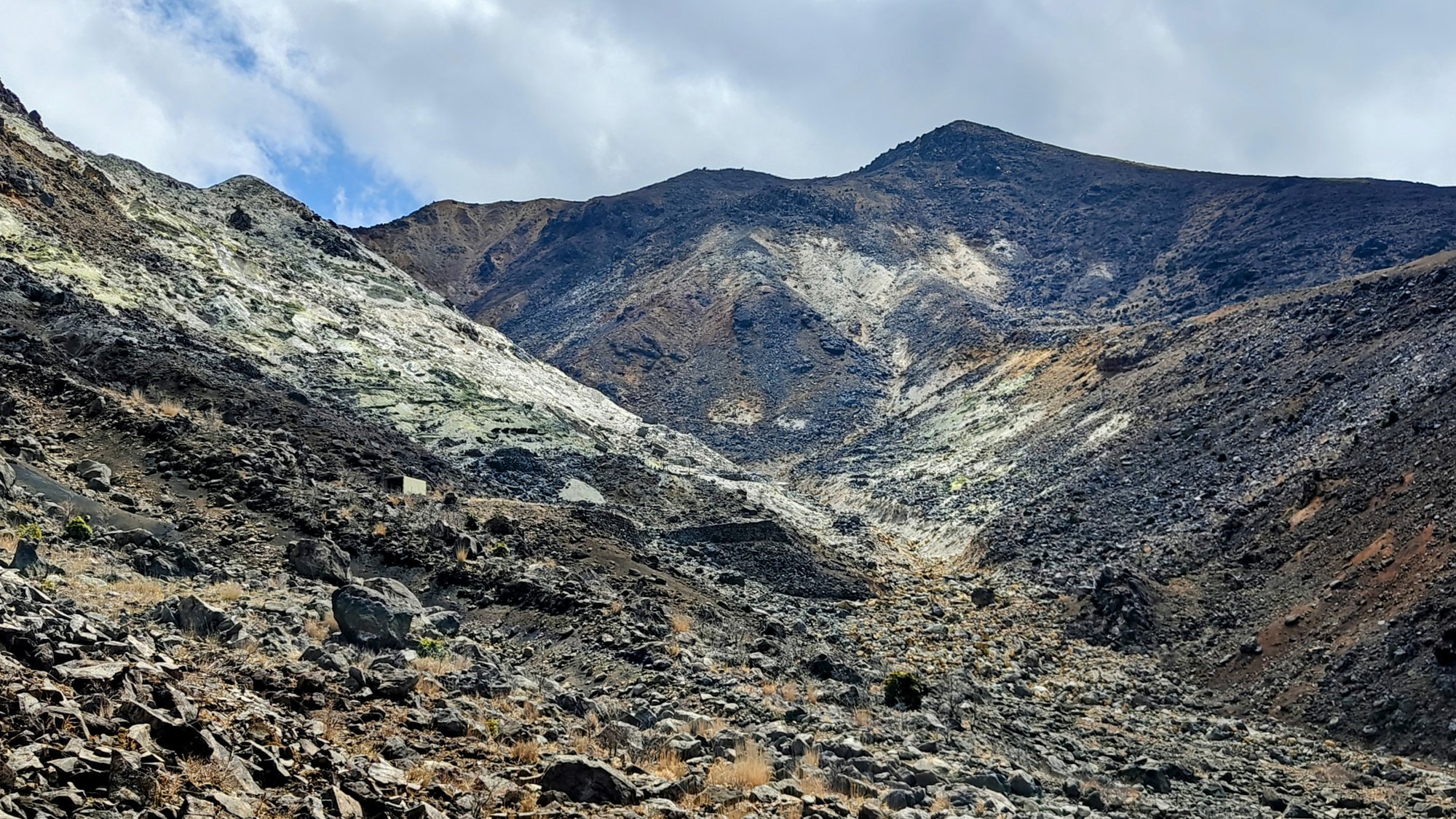
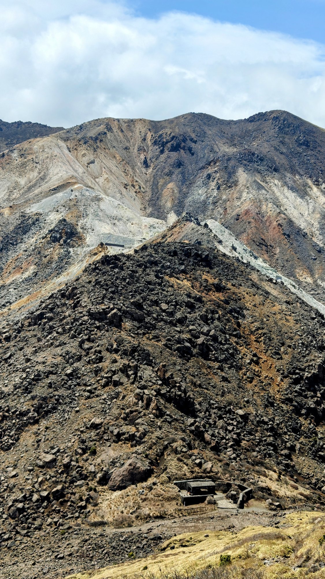
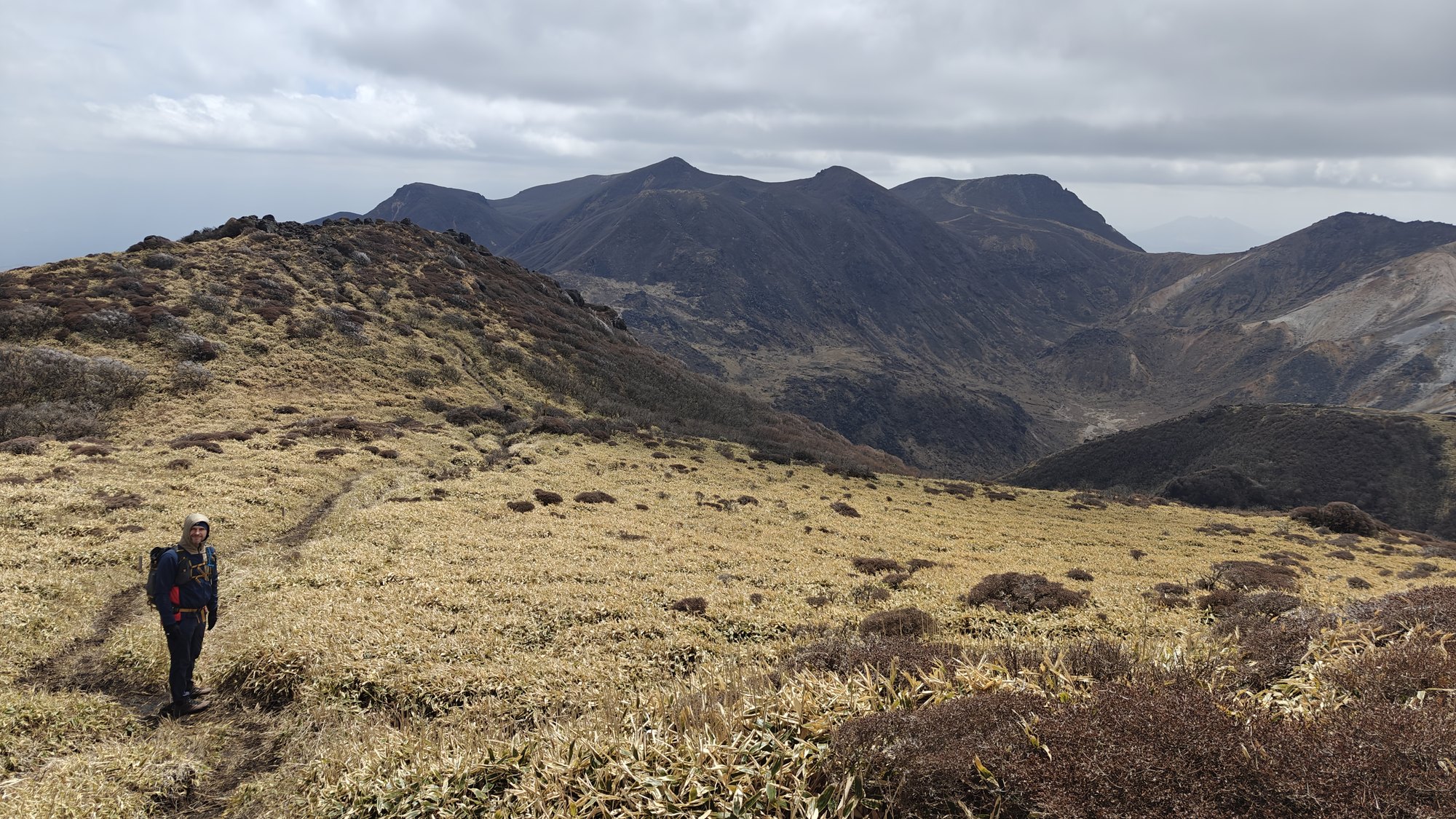
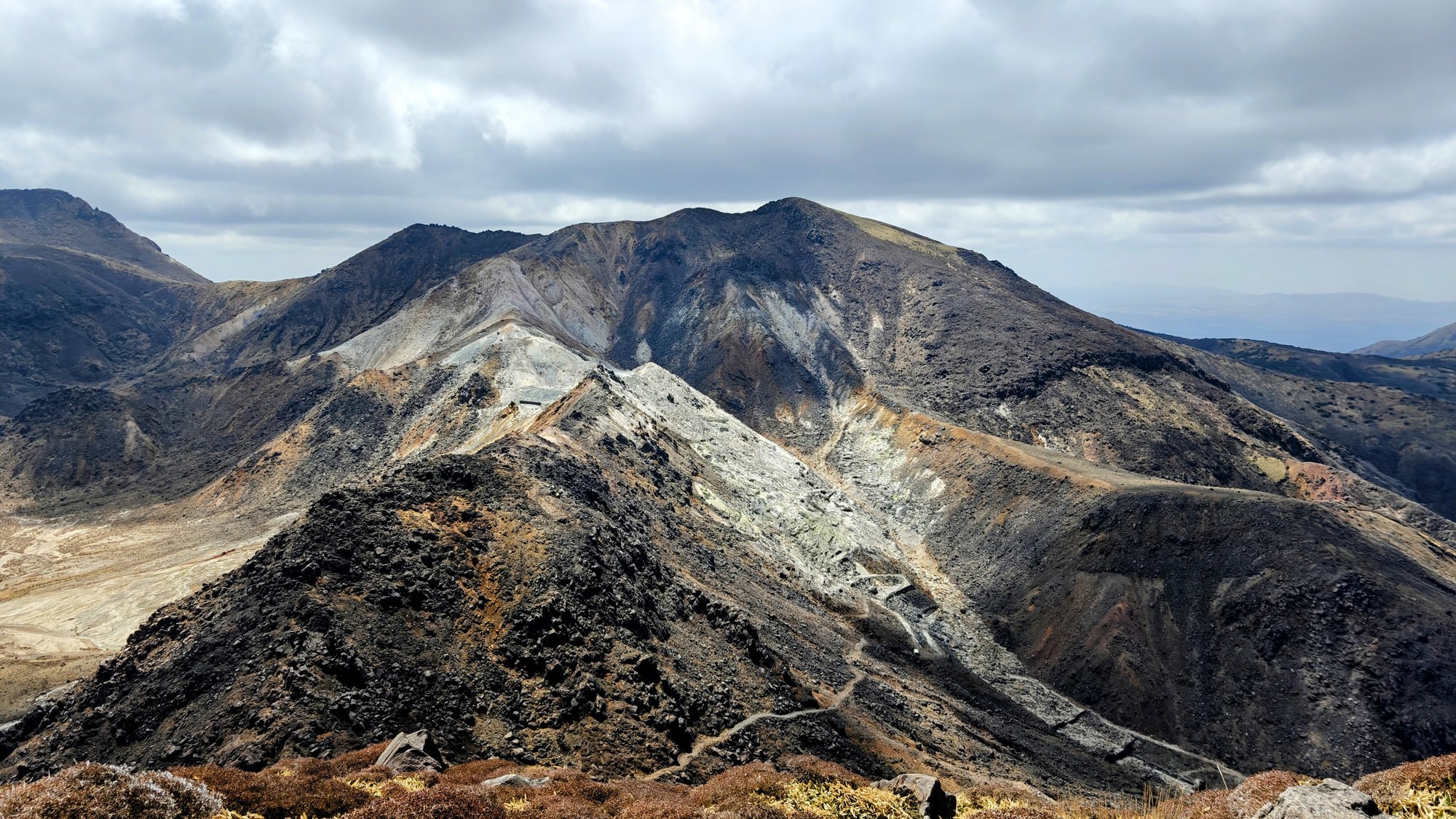
The first part is easy, with asphalt and service-road-like stretches before the trail turns into proper mountain path. Above that, the route becomes more exposed: loose stones, rocky climbs, high dry grass and open views back toward the Chojabaru plateau.
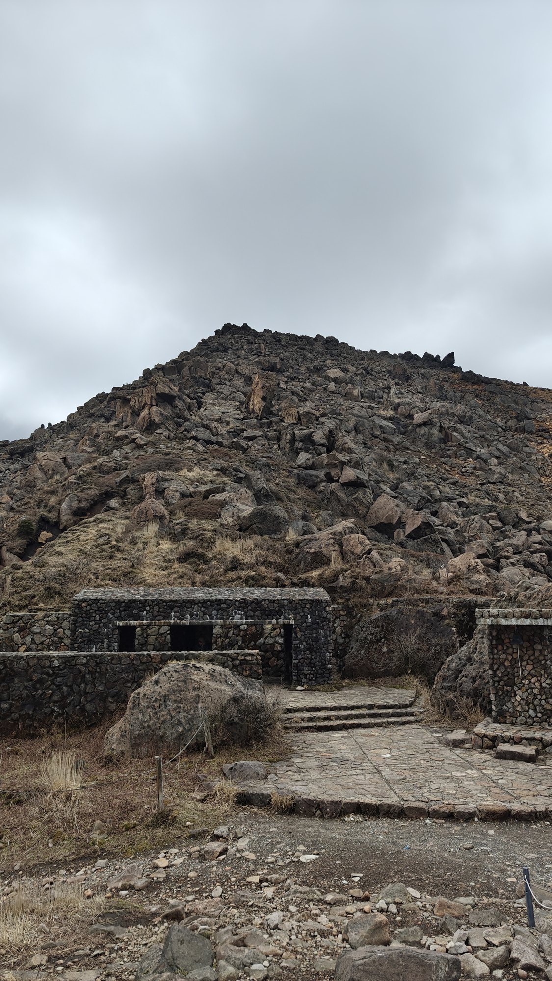
There is a small shelter at Sugamori Pass, useful if you need a break out of the wind.
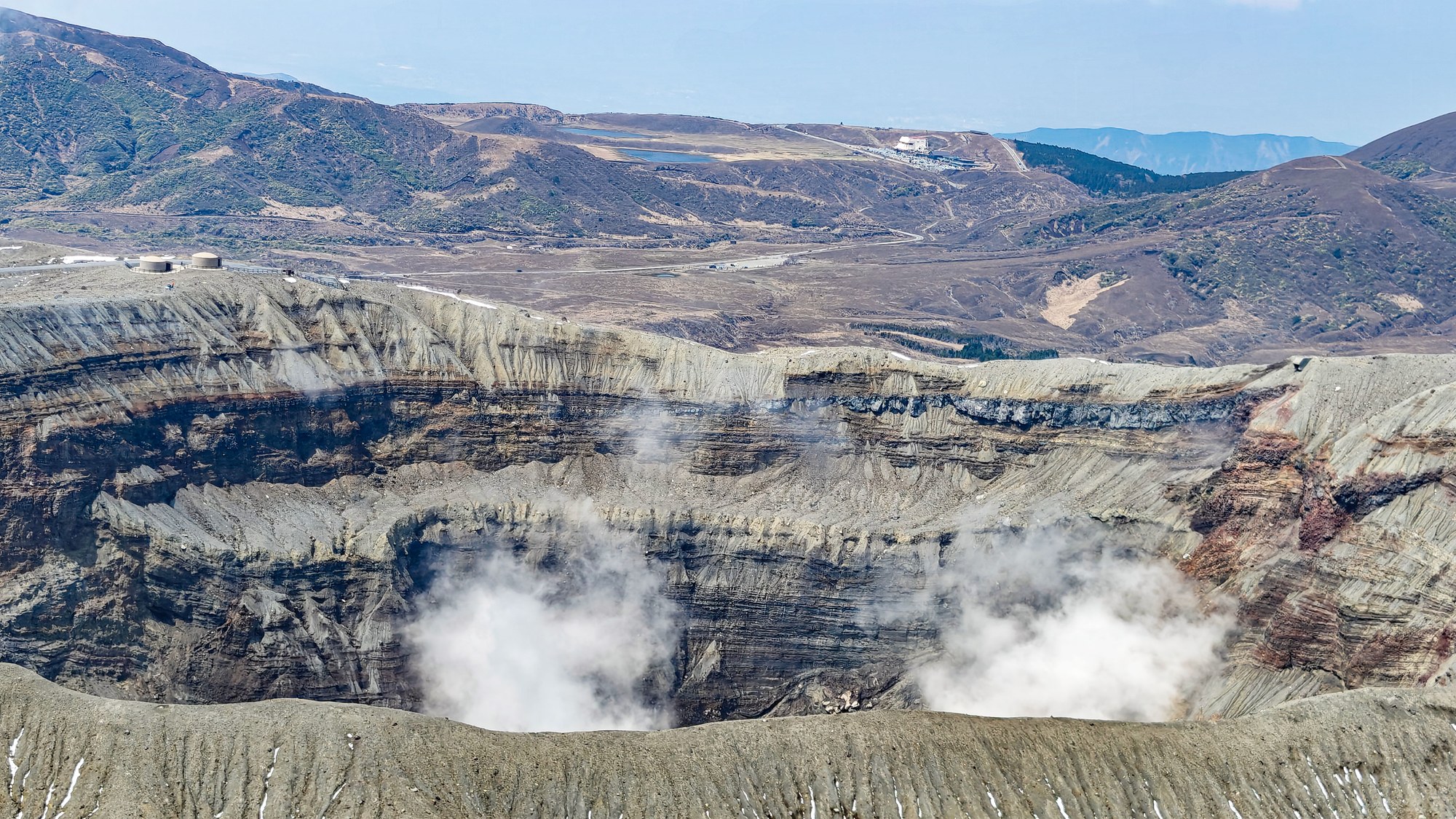
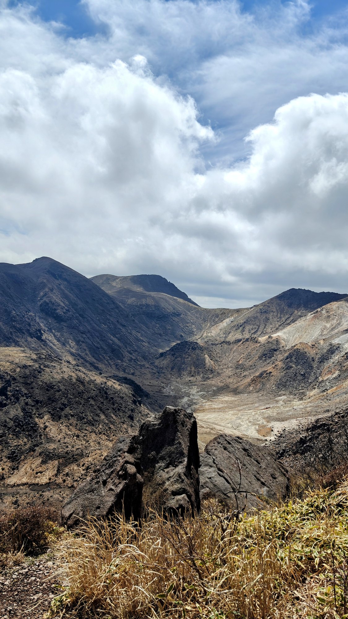
The upper section needs more care than the first half of the hike, especially if the ground is wet. It is not technical, but it is still mountain terrain, exposed and rocky enough that shoes and weather matter. The reward is the openness, with views across the Kuju range, Mount Io and the dry spring slopes around Sugamori Pass.
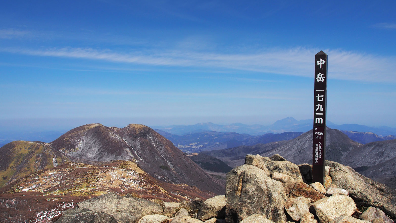
That quiet suited the route. There are more famous Kuju hikes, especially toward Nakadake and Kuju from Makinoto Pass, but Mimata from Chojabaru has a rougher, more solitary feeling. It is a good hike if you want the volcanic scenery without turning the day into a long traverse.
After the hike
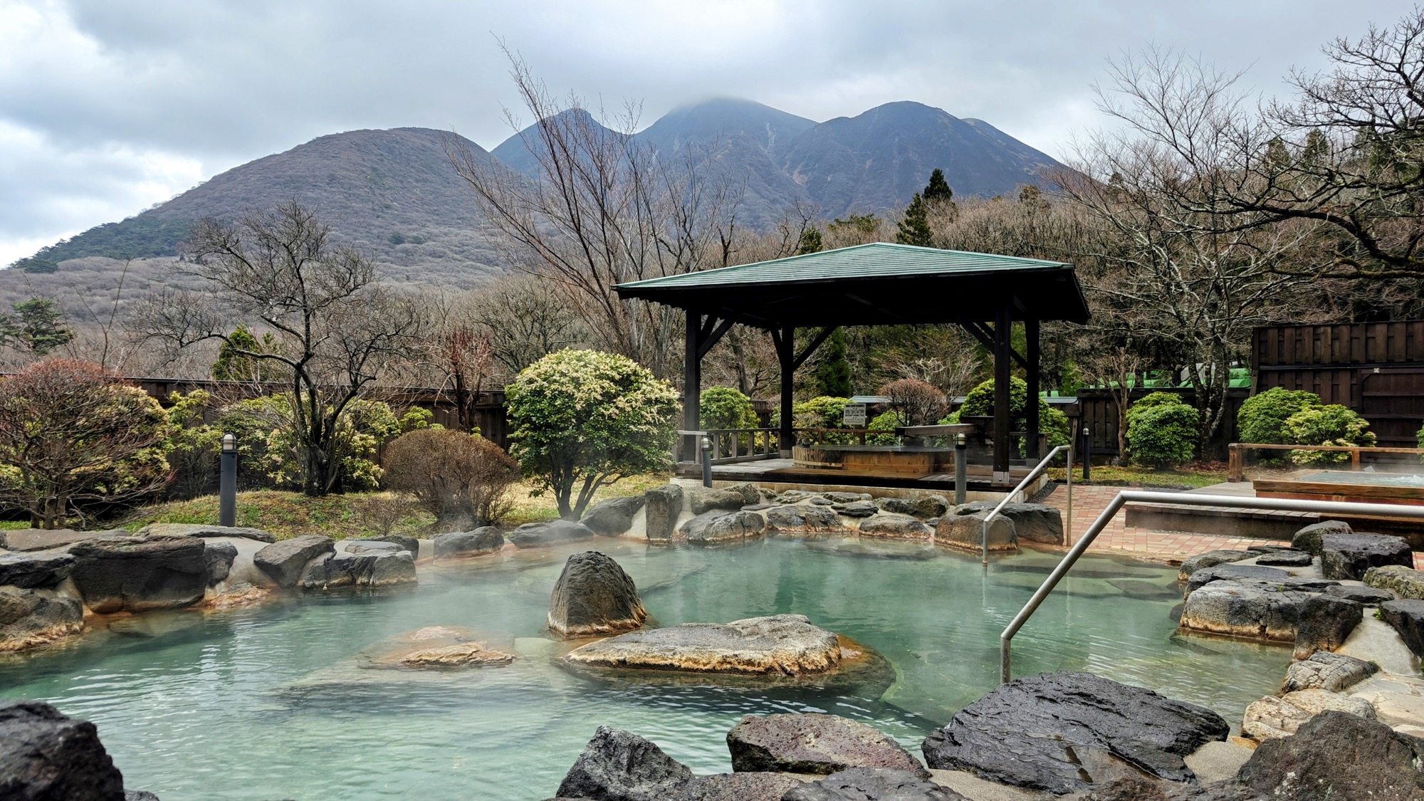
We slept two nights right by the trailhead at Kuju Hossho Hotel, whose open-air bath looks straight back at the mountain you have just climbed — more on that stay in its own article.
Good to know
- Route
Our out-and-back was 10.87 km with 863 m of ascent, about 4 hours: Chojabaru to Sugamori Pass, then the west peak and main peak, returning the same way. A GPX track is available to download below.
- Trailhead
Start at Chojabaru Visitor Center: parking, toilets, bus stop and hiking registration. Use the toilets before starting, because there are no toilets on the hike itself. Bring food and water; Sugamori shelter is only a wind break.
- Season
April was quiet, dry-coloured and windy. Azaleas peak around June; autumn colour is usually around October. The upper trail is exposed, so avoid bad wind or storm forecasts.
- Stay
We stayed two nights at Kuju Hossho Hotel (九重星生ホテル), a few minutes from the trailhead, with open-air baths facing Mount Mimata.
- Nearby
Nakadake and Kuju from Makinoto Pass, Kurokawa Onsen, Tadewara Marsh and the Chojabaru trailhead area.
- Official links
- GPX track
-
Download the GPX track of Mount Mimata hike from Chojabaru, for your maps app or GPS watch.
- Location
-
Kokonoe, Oita Open in maps (external link)
- Details
-
Visited Last checked