Sensuikyo hike to Nakadake and Takadake
仙酔峡・中岳・高岳
A rocky, exposed Mount Aso hike from Sensuikyo to Nakadake, Takadake and the crater ridge, with close-up views into the active crater system.
Climbing Mount Aso from Sensuikyo
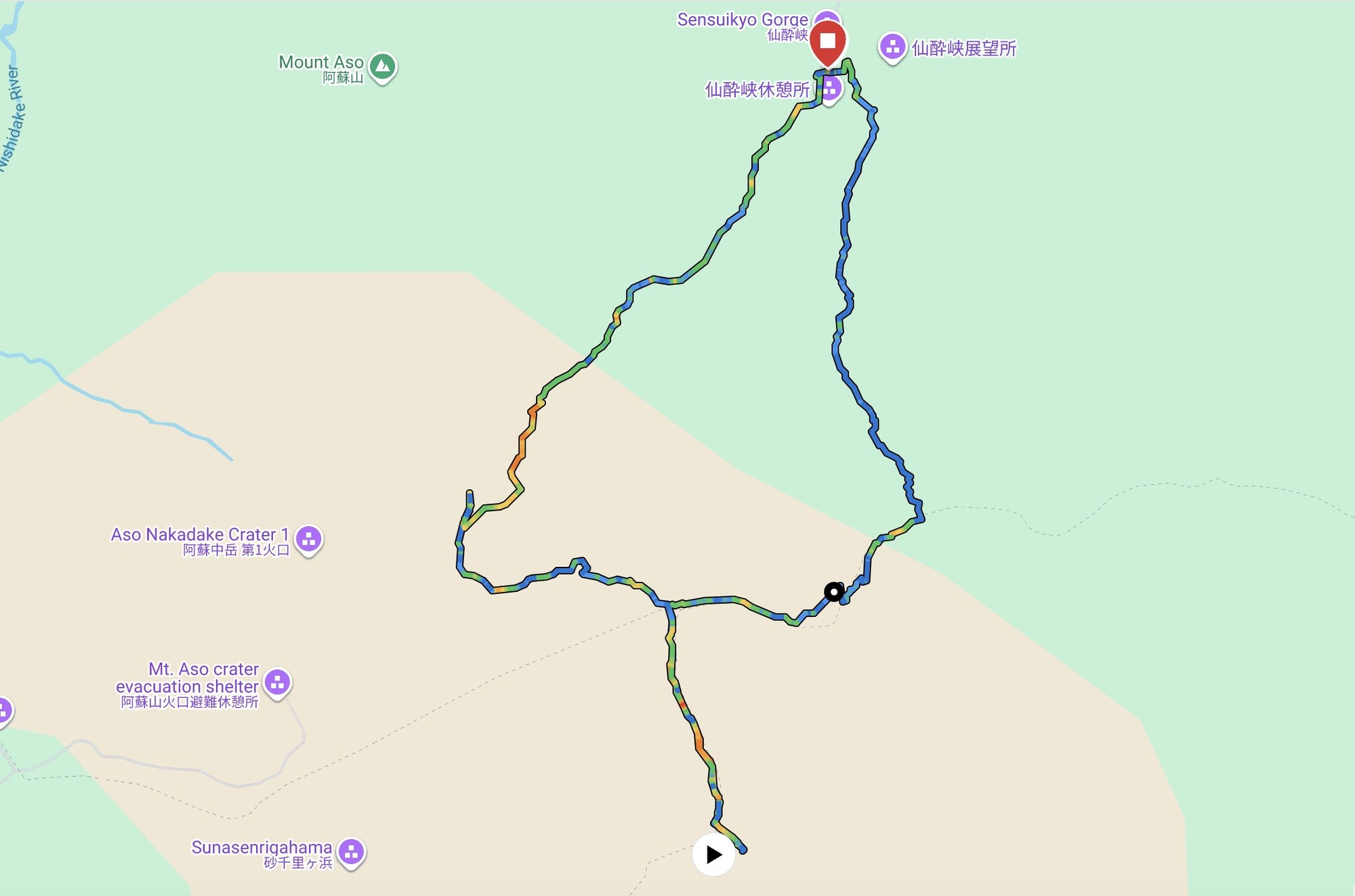
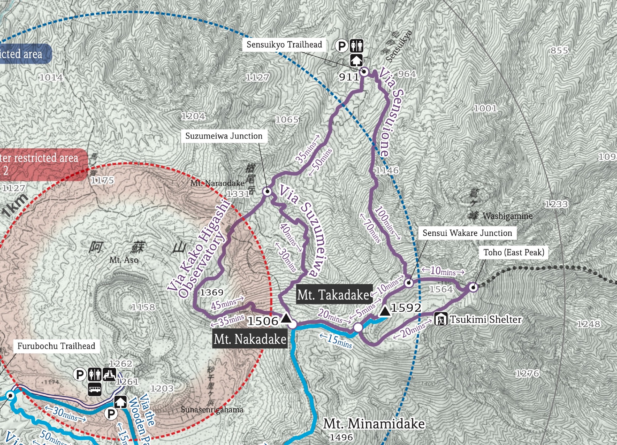
The Sensuikyo route climbs the east side of Mount Aso from Sensuikyo Information Center to the Nakadake and Takadake crater ridge. It is a short loop — a bit over 8 km — but a steep one, with most of the day spent climbing (full stats and GPX below).
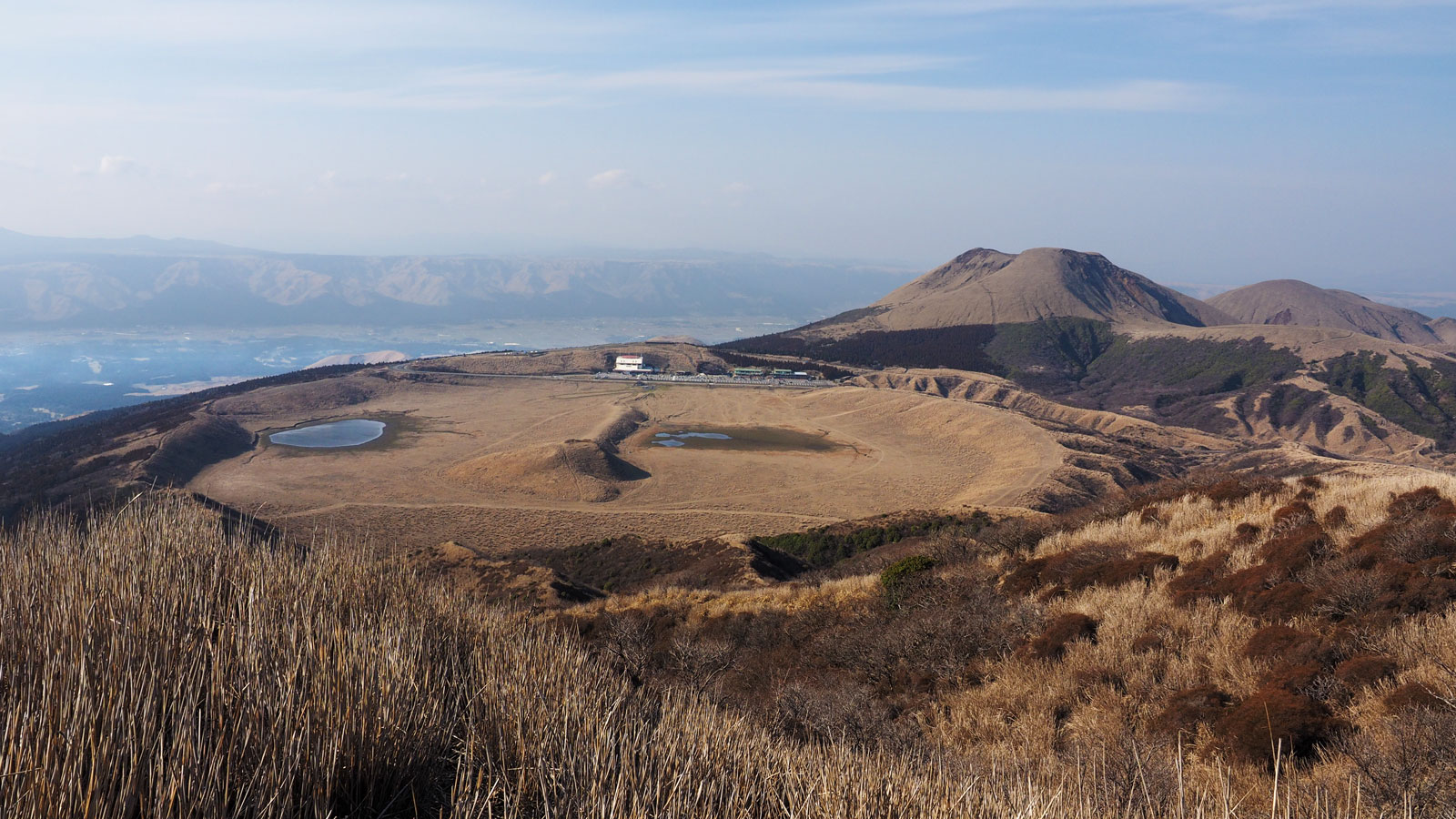
This is a much rougher Aso hike than the beginner routes to Kishimadake and Eboshidake from Kusasenri. It starts from a quiet car-access trailhead, then goes quickly into black volcanic rock and open mountain terrain. We saw other hikers, but it was nowhere near as busy as the main Aso crater side.
The official trail information lists this as one of the more challenging Mount Aso routes. That matched the day: no trees, no shade, almost no soft ground, and constant views into the active volcanic landscape.
From Sensuikyo to Nakadake and Takadake
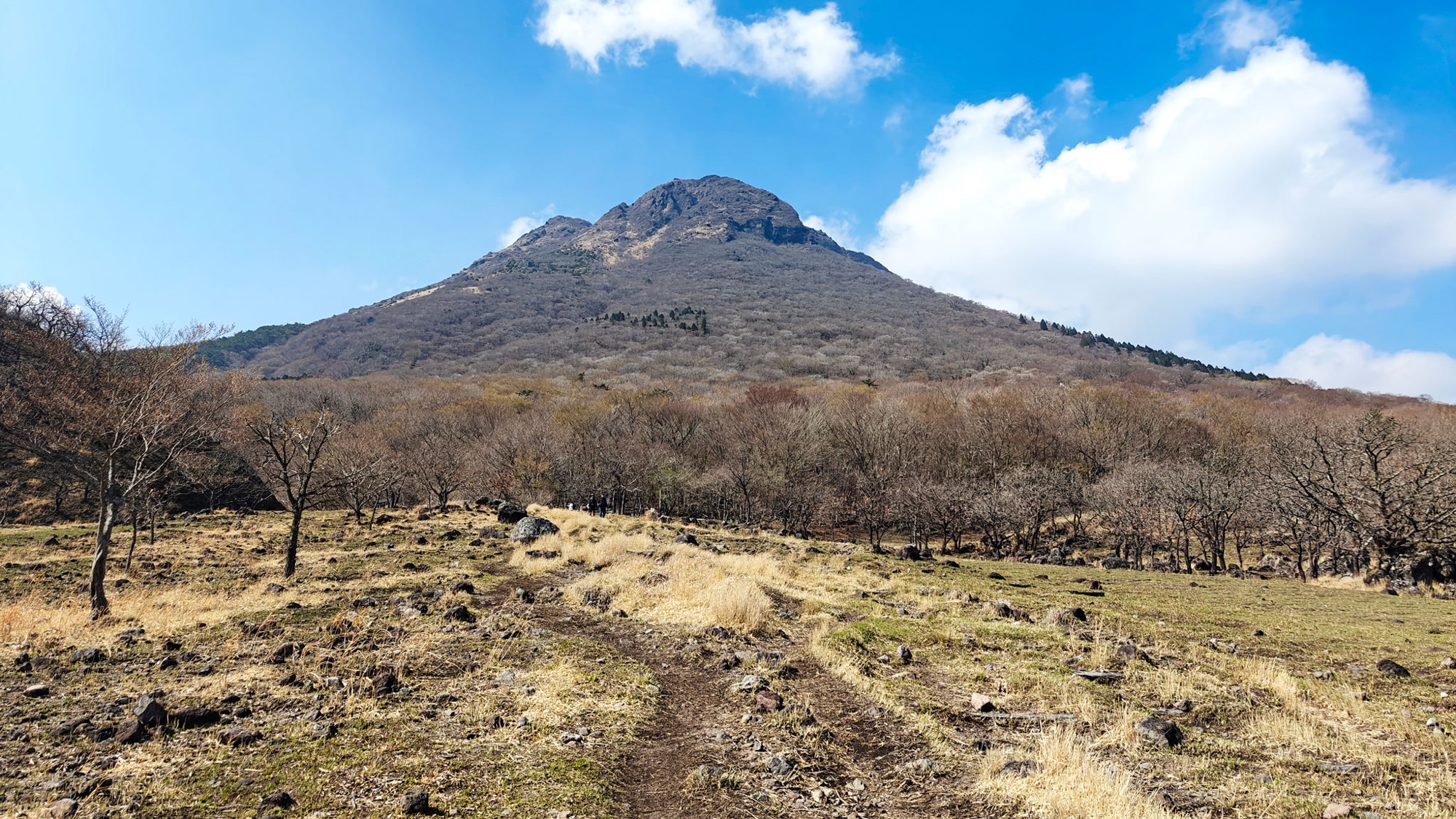
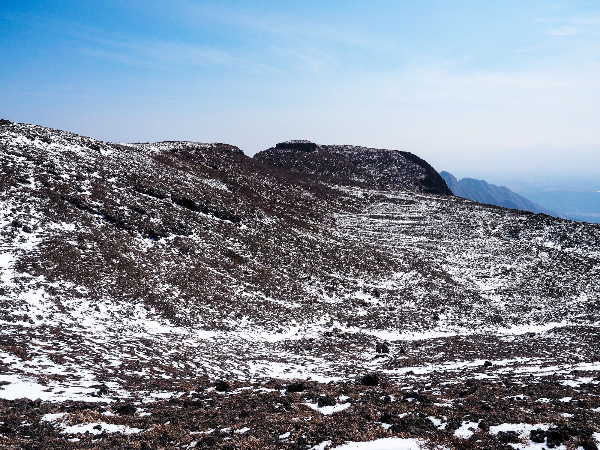
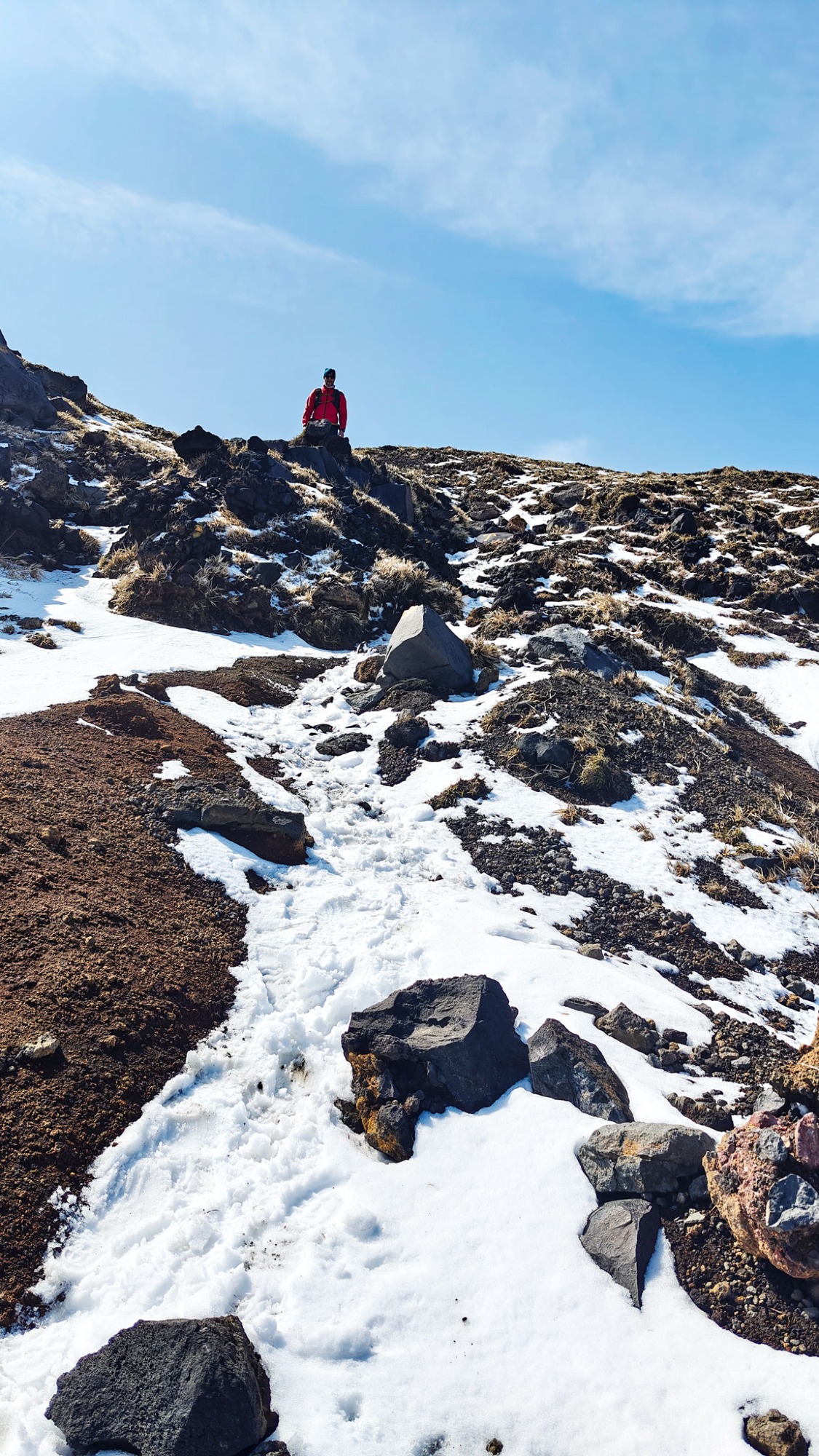
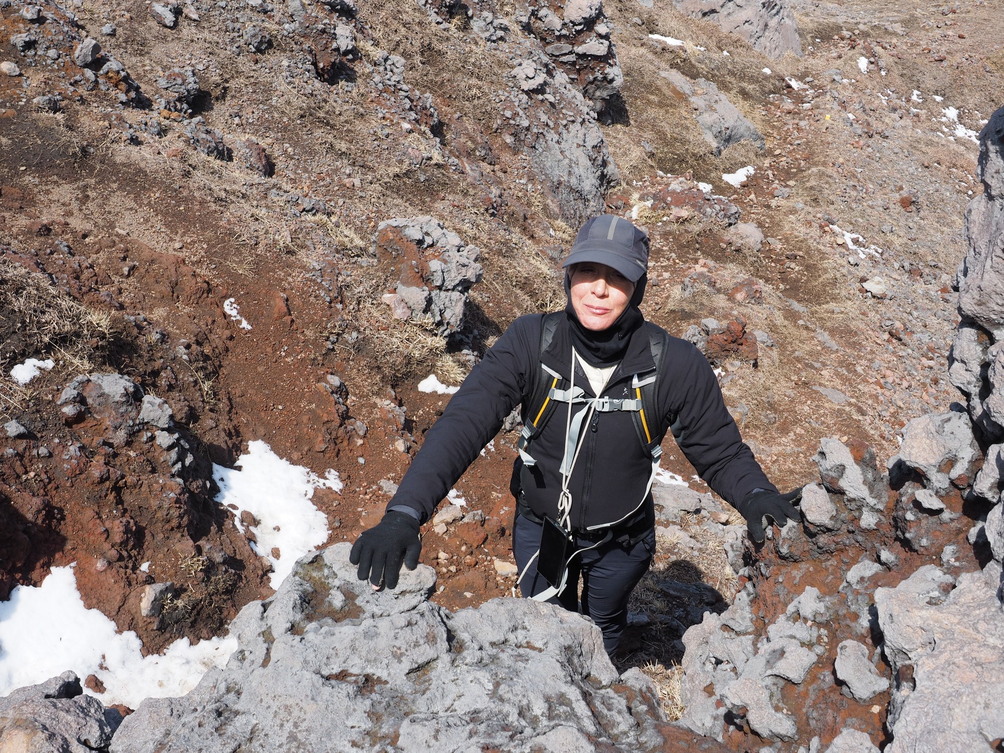
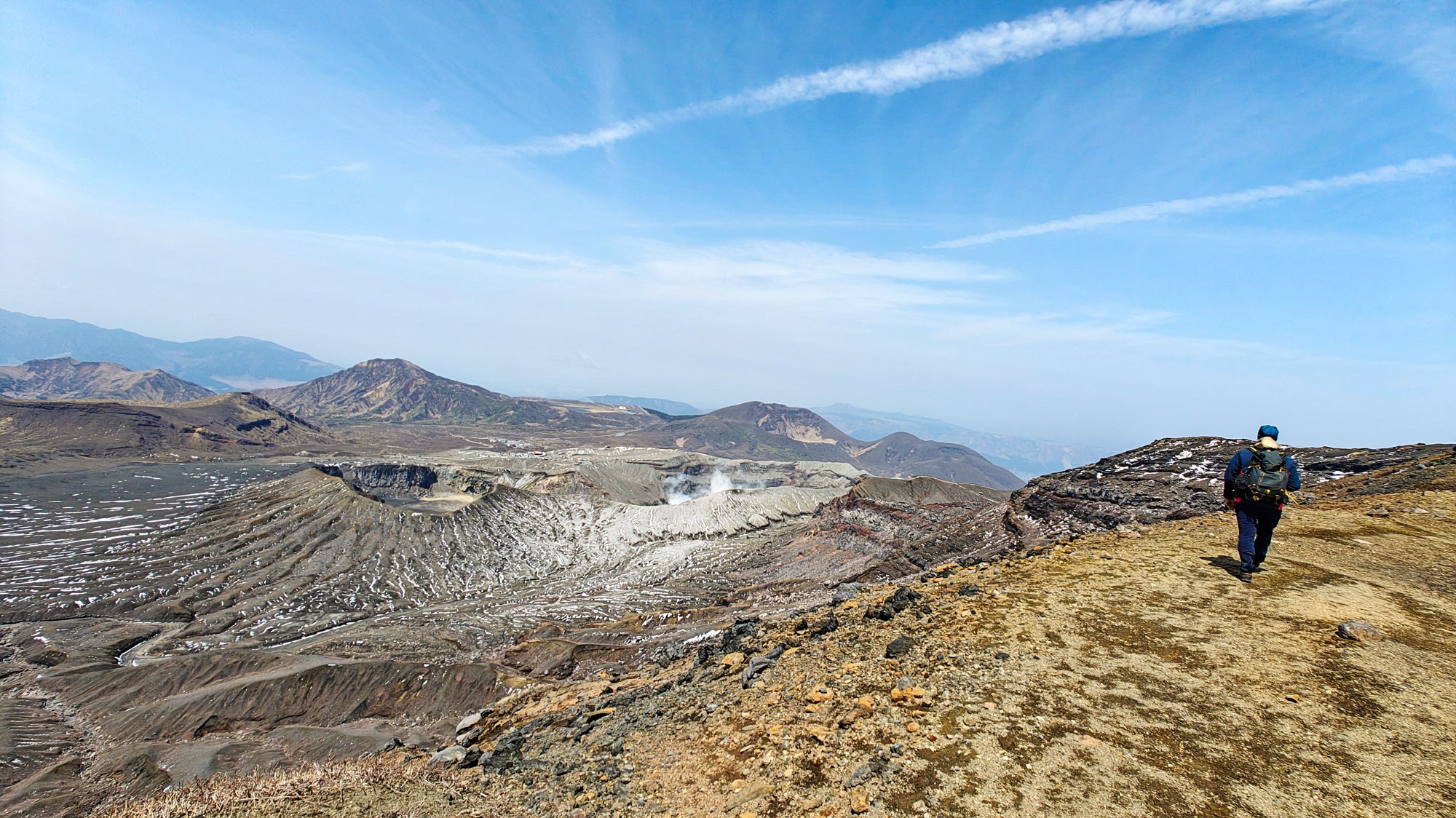
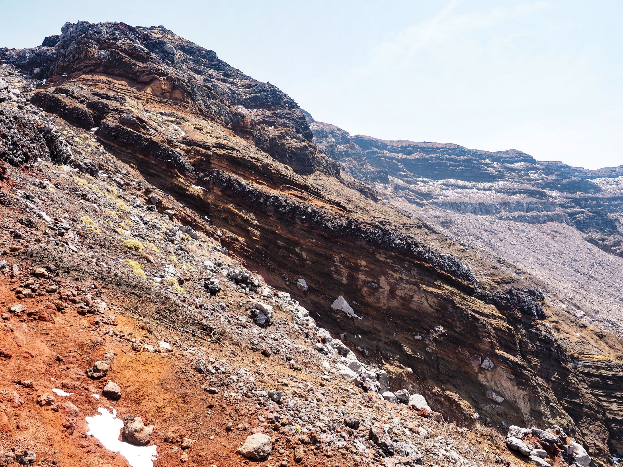
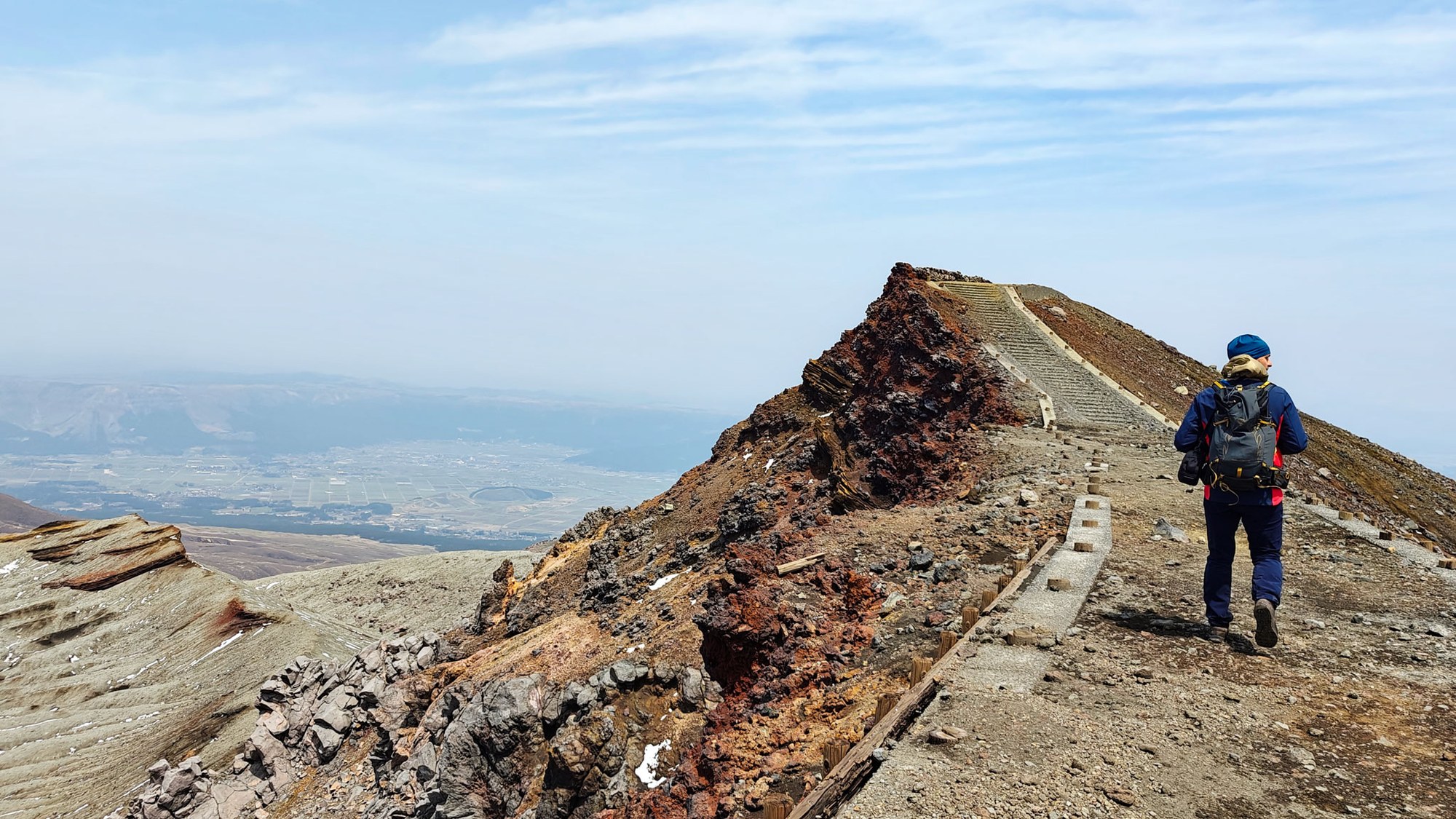
The ascent is a real climb over large, uneven blocks of rock. Nothing felt technical in the climbing sense, but the ground asks for attention: uneven footing, loose surfaces and real exposure — proper boots required.
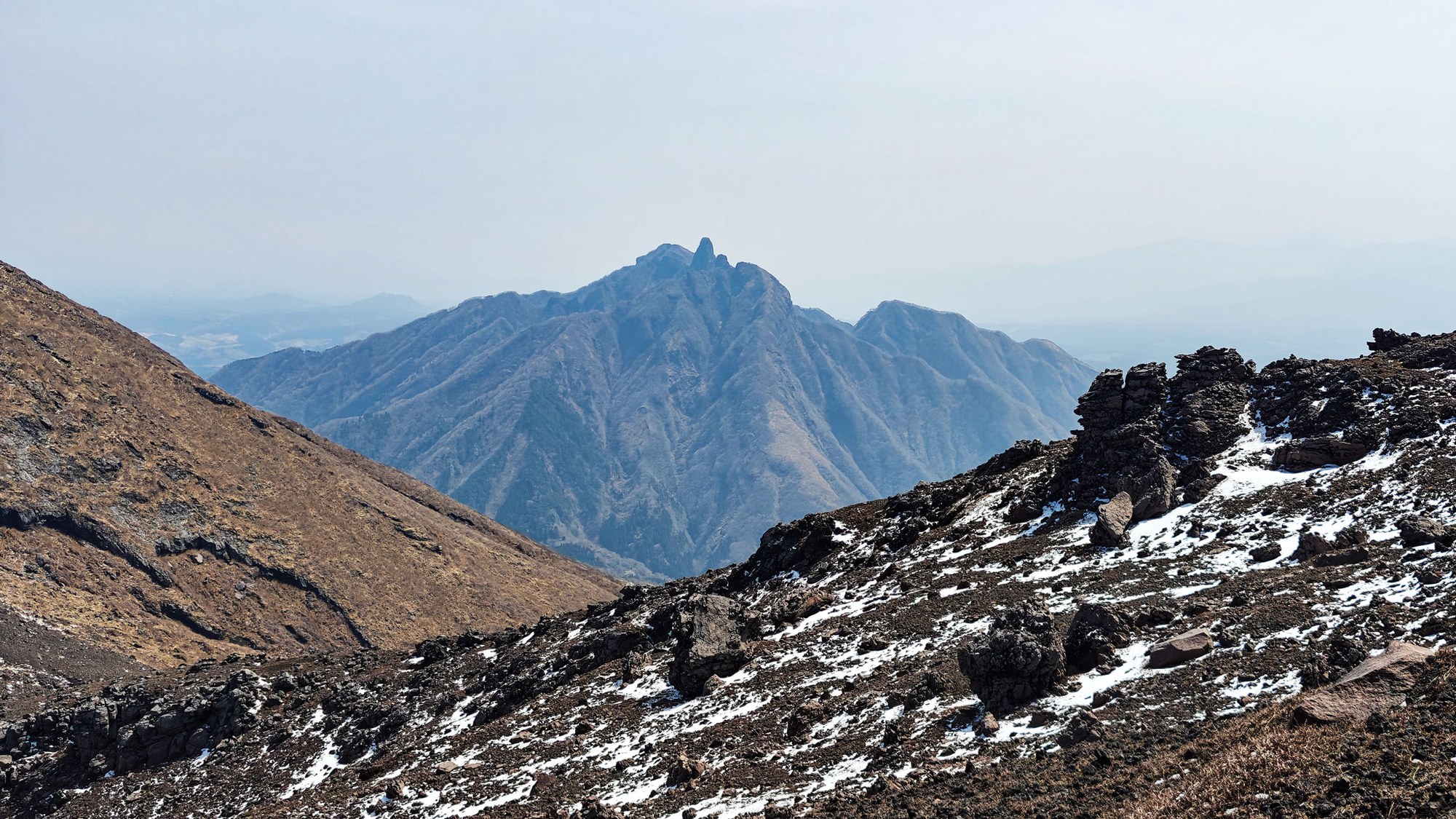
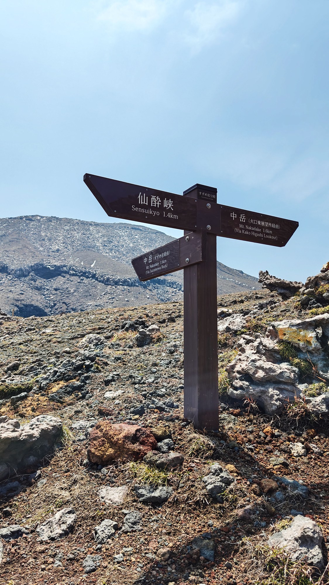
We reached the first high point in about one hour, then continued over several summits and ridges. Trail notes warn that the Sensui Ridge side is steep, rocky and exposed, and best avoided as a descent.
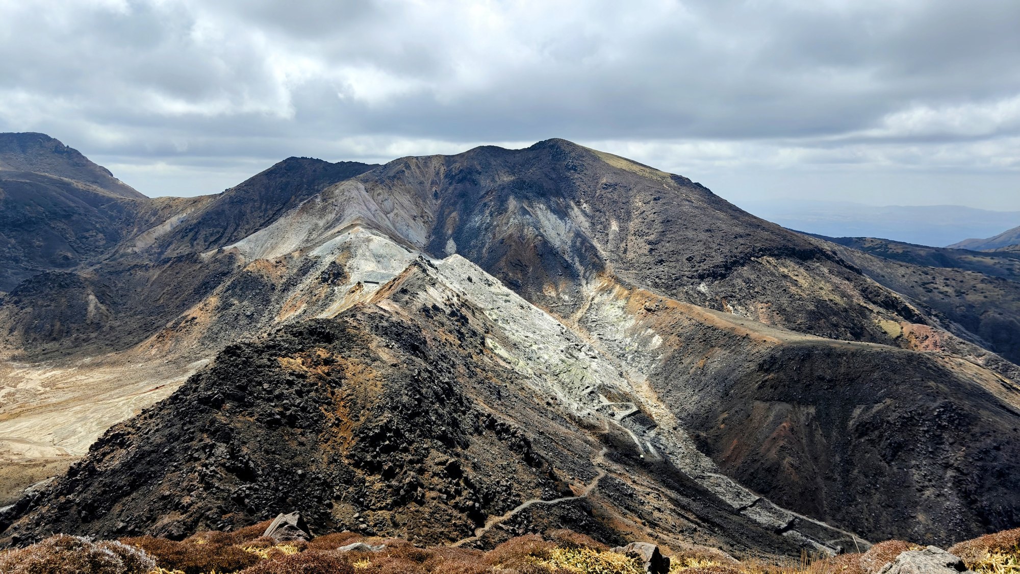
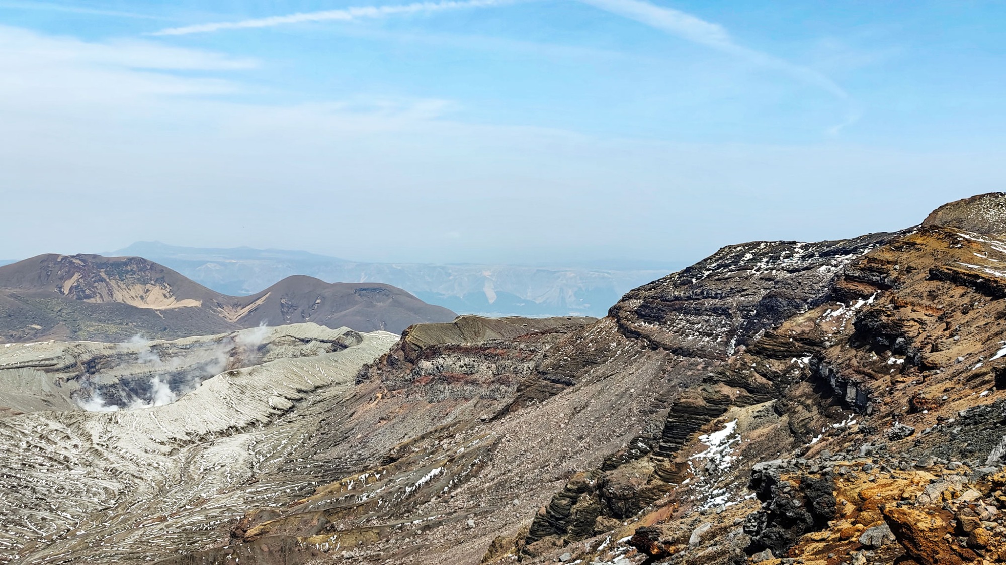
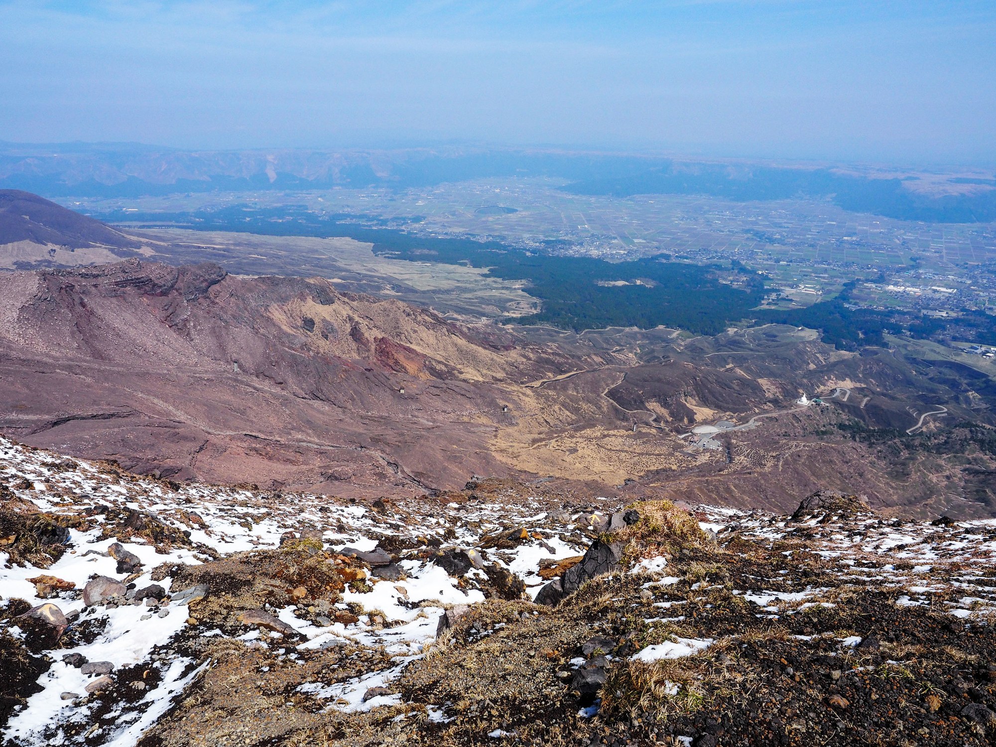
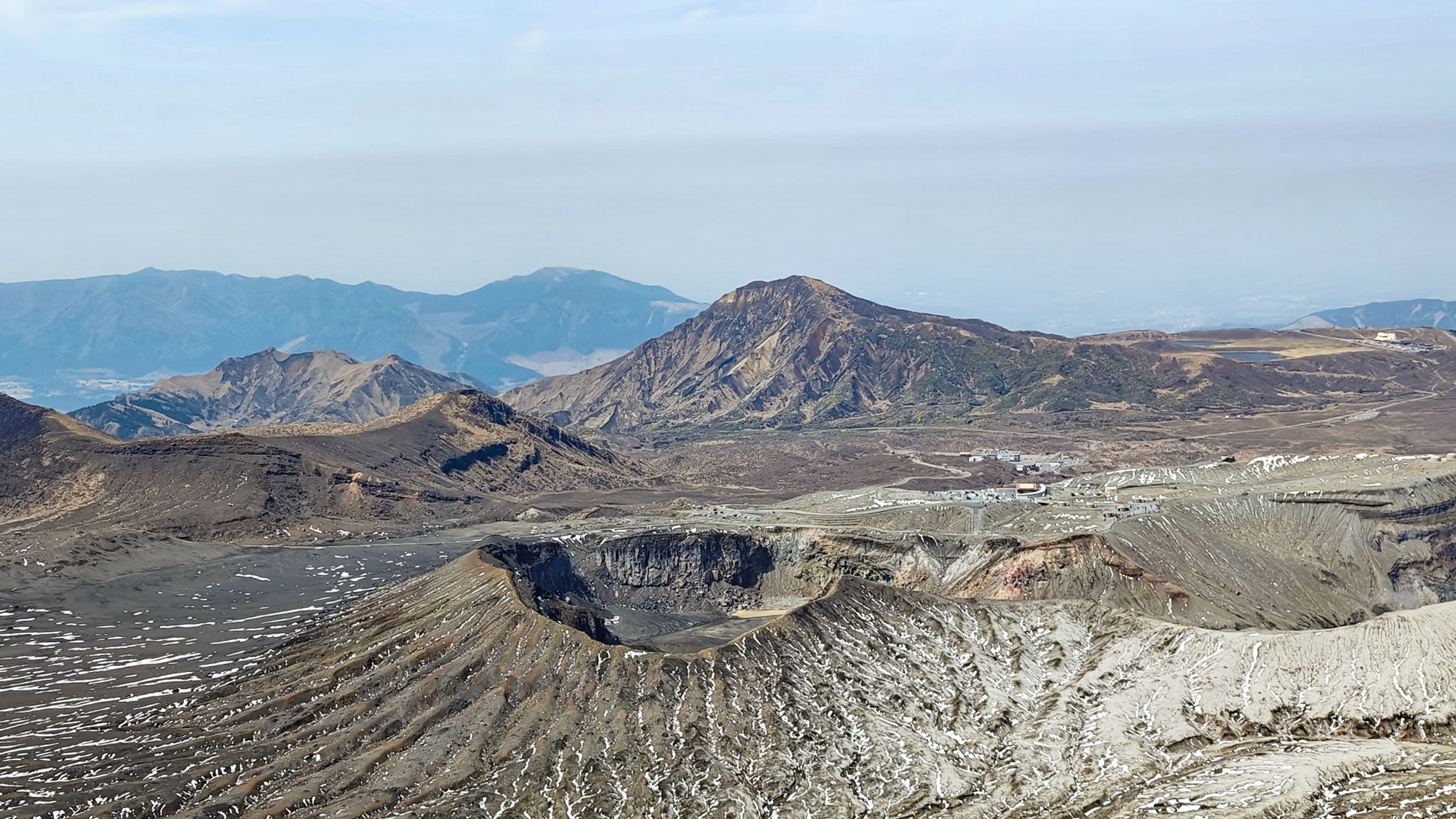
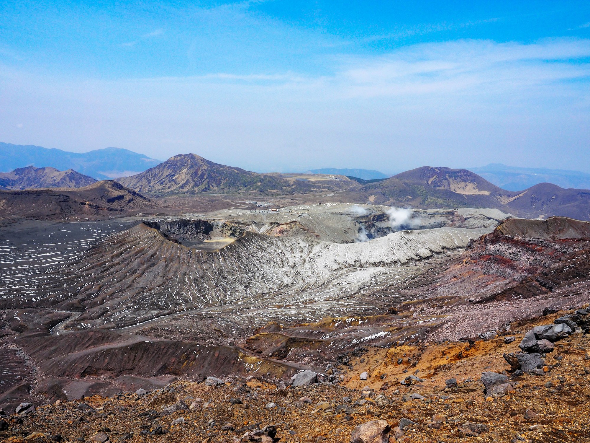
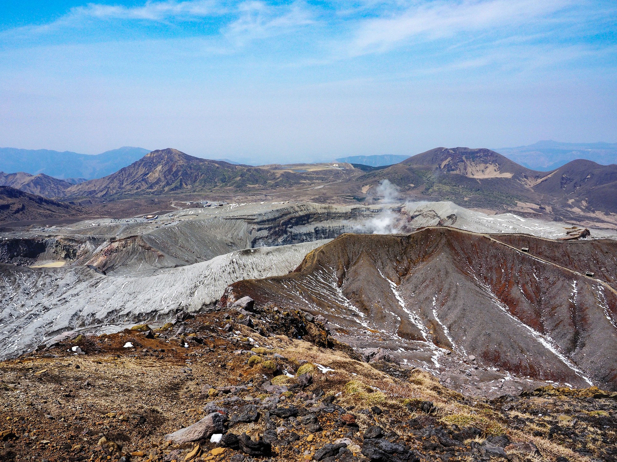
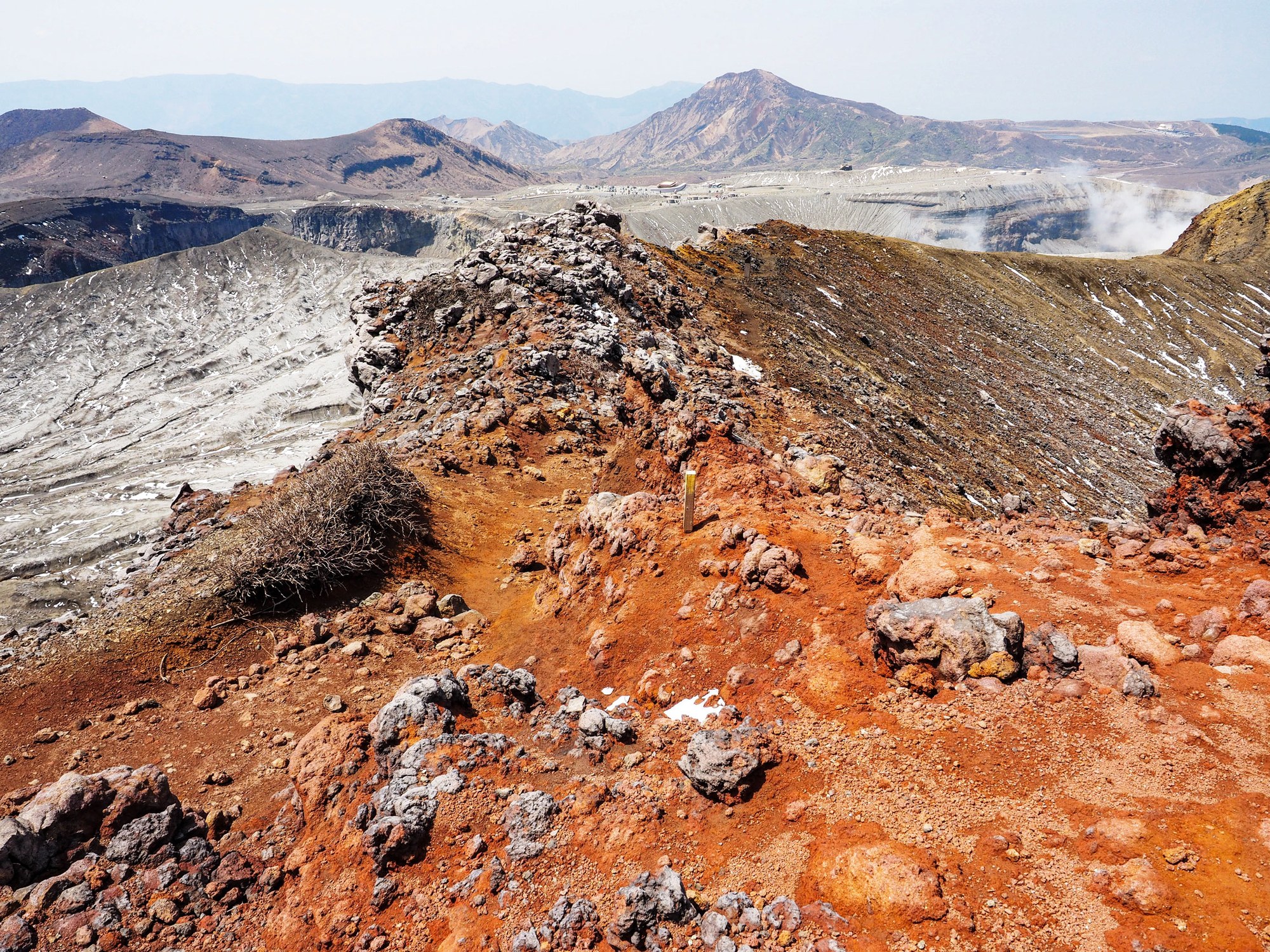
The landscape is pure volcano. The colours shift from black and grey to rust red and pale ash. It feels very different from the grassy side of Aso.
Nakadake, Takadake and the crater ridge
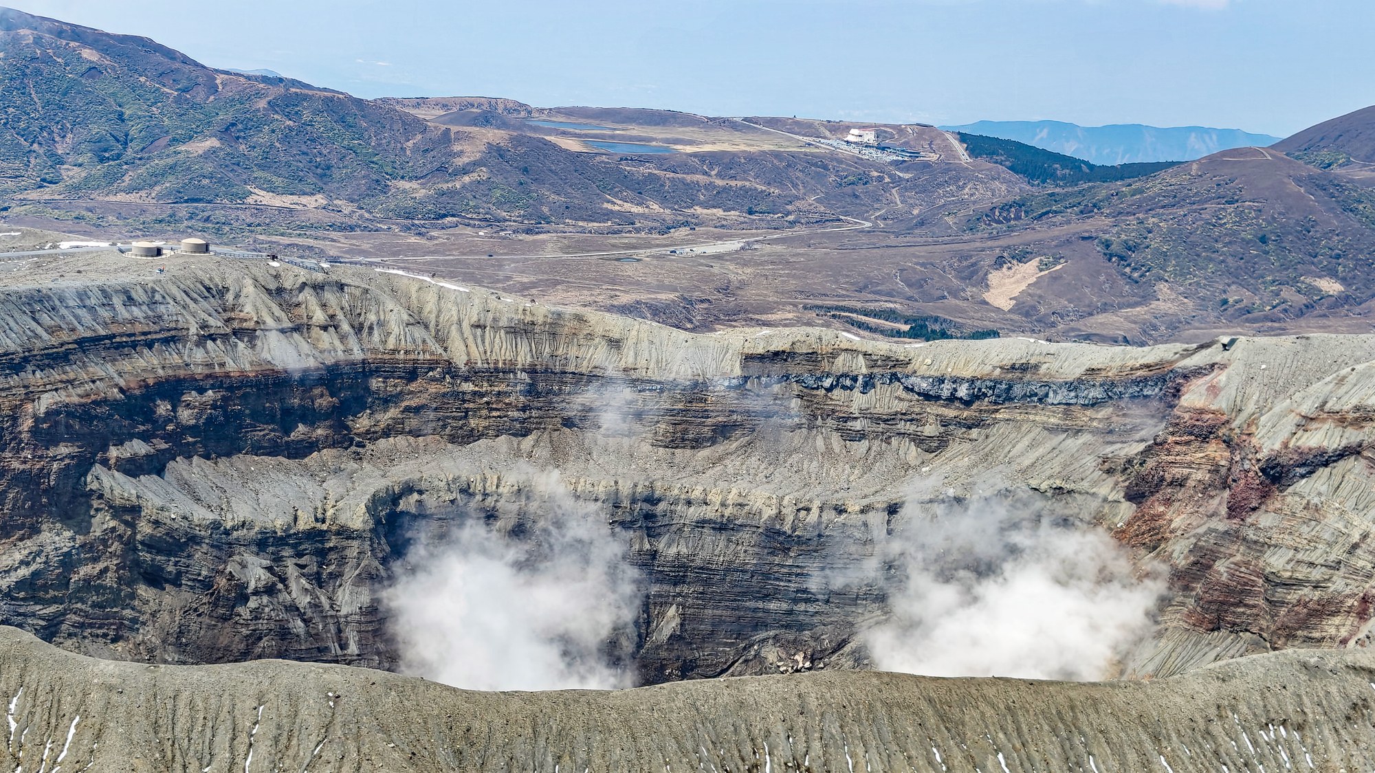
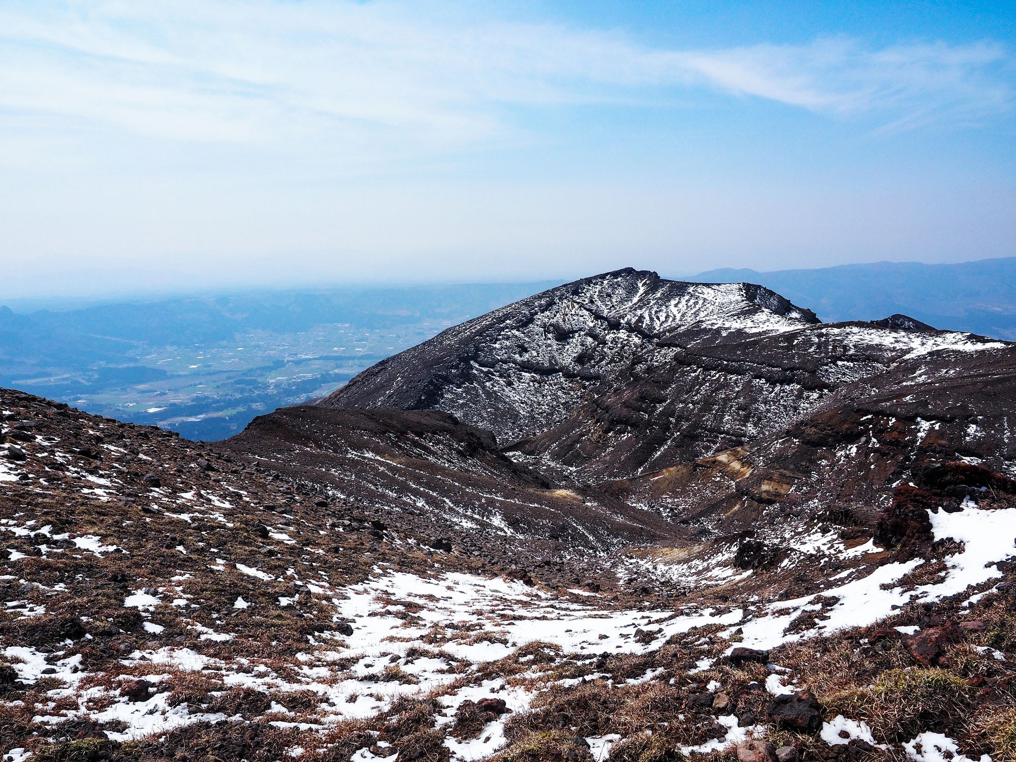
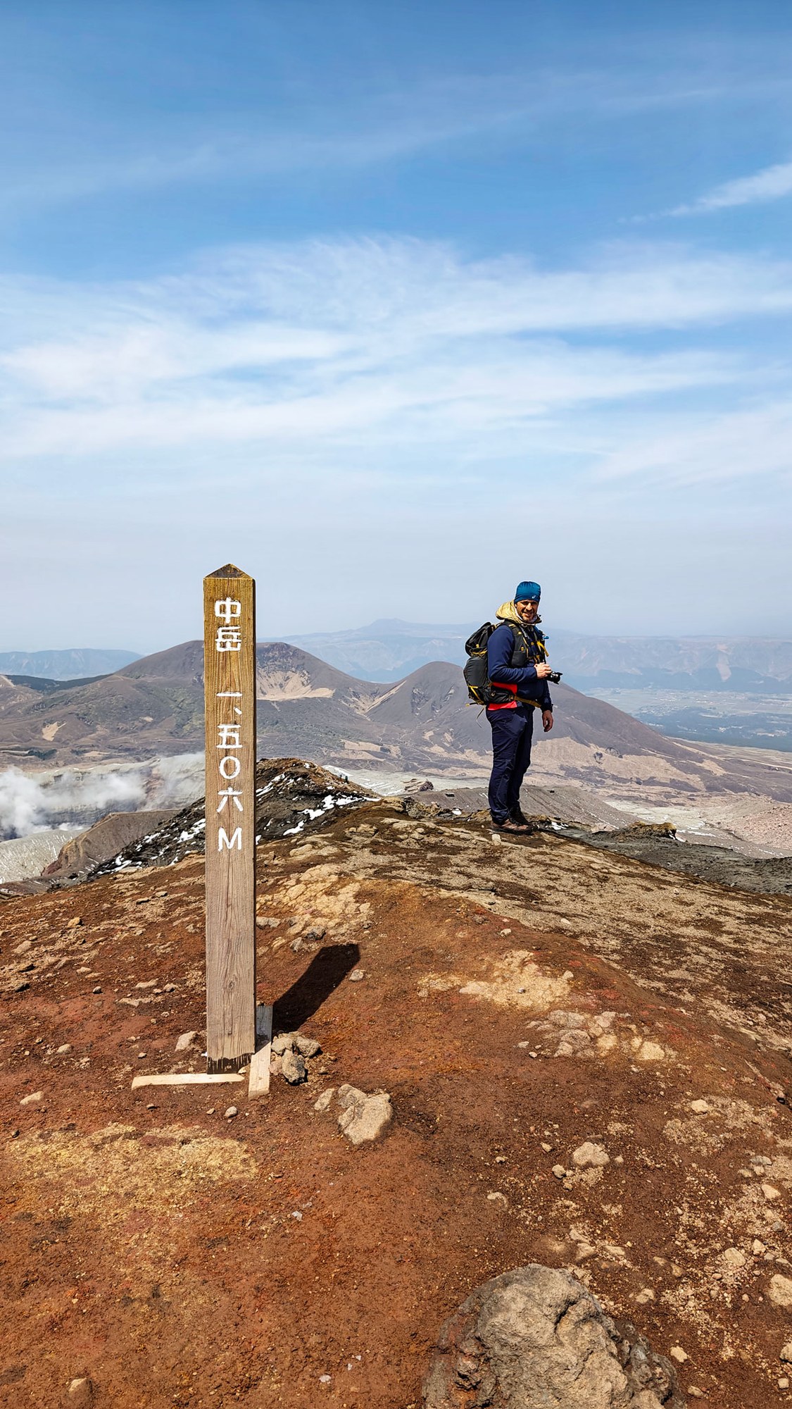
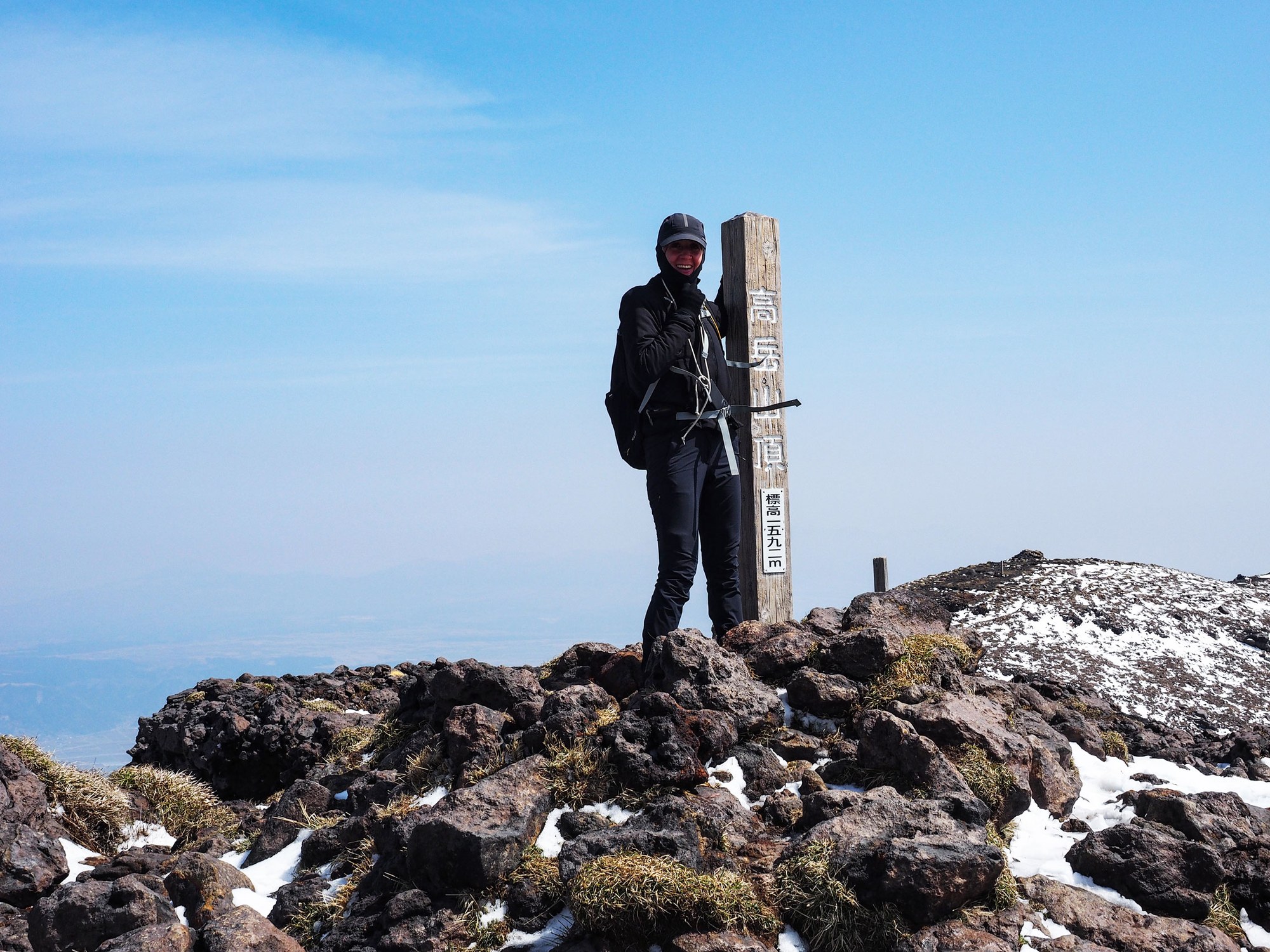
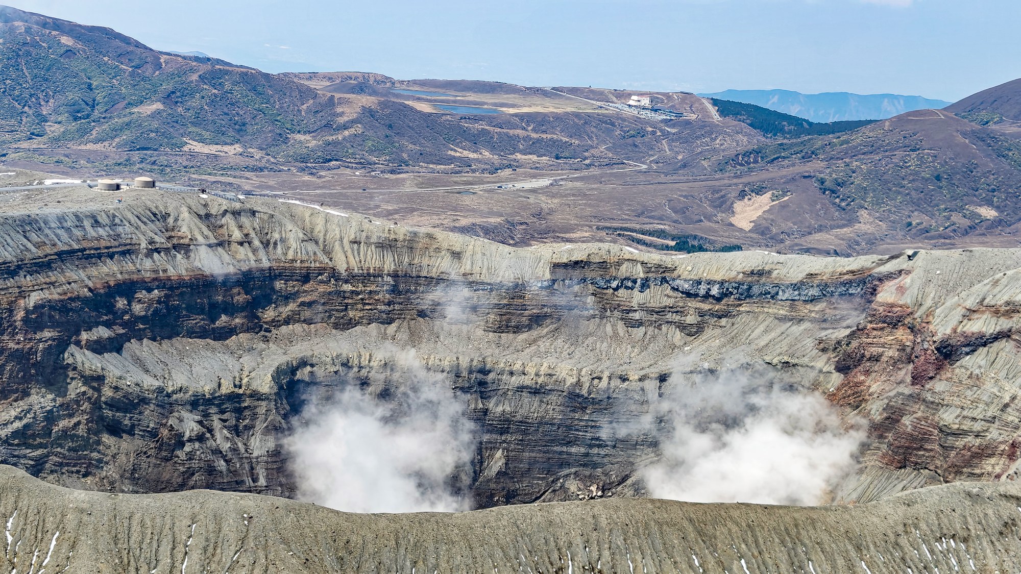
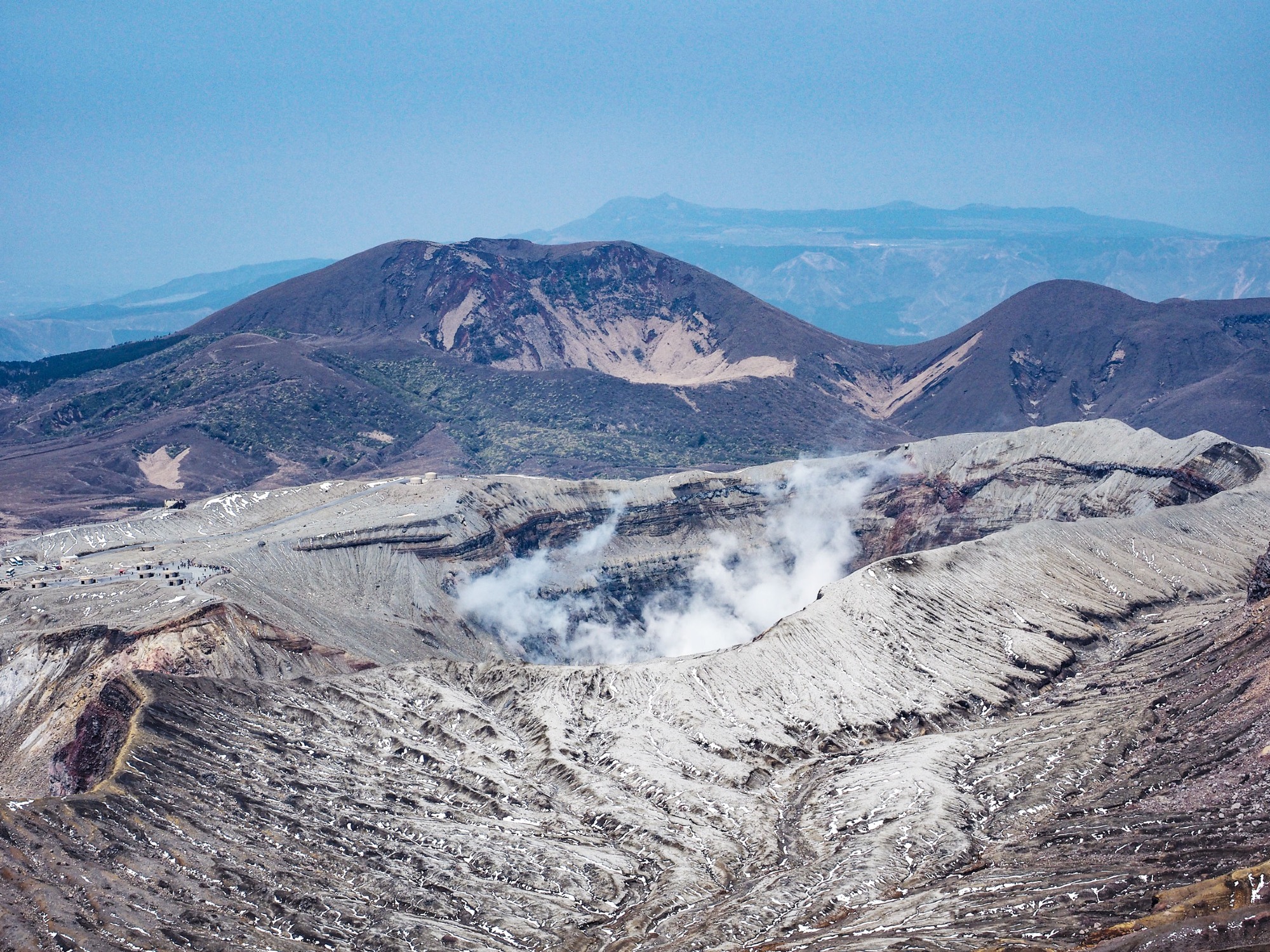
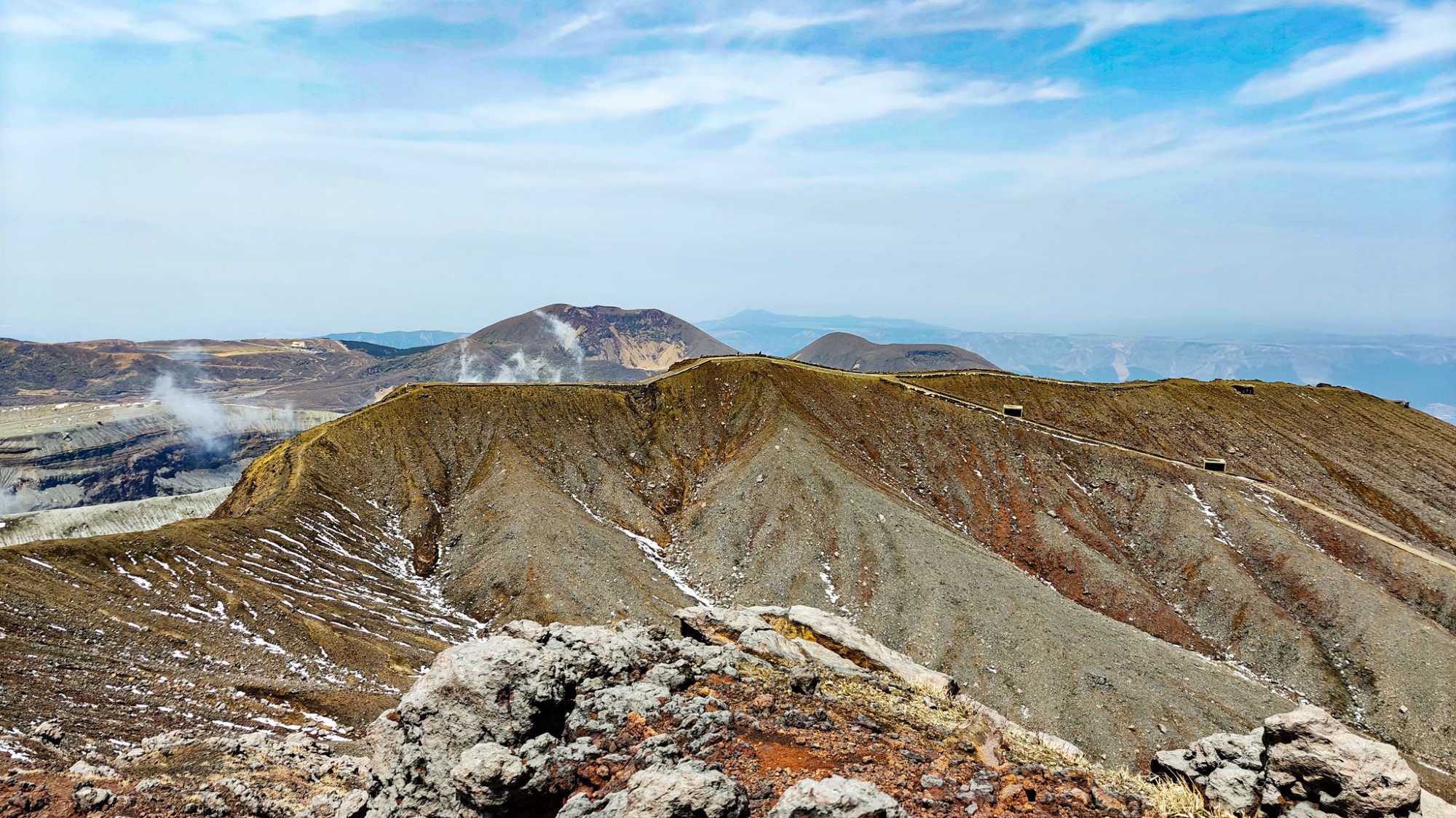
Takadake is the highest of Aso's five peaks at 1,592 m, and Nakadake is the active crater peak at 1,506 m. From this side, the ridge gives close views into the crater system and across the wider caldera. The two craters were extremely clear on our day.
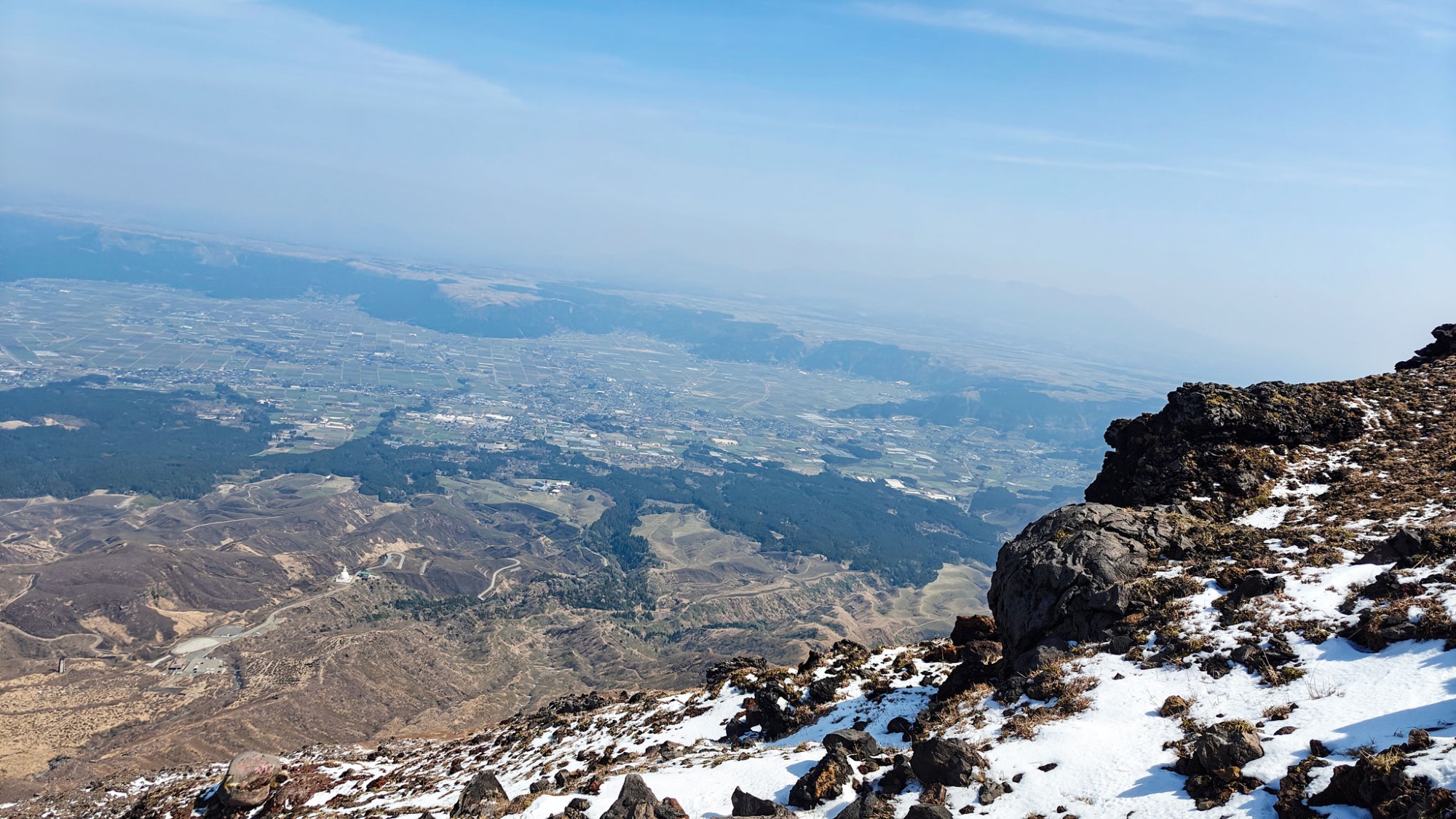
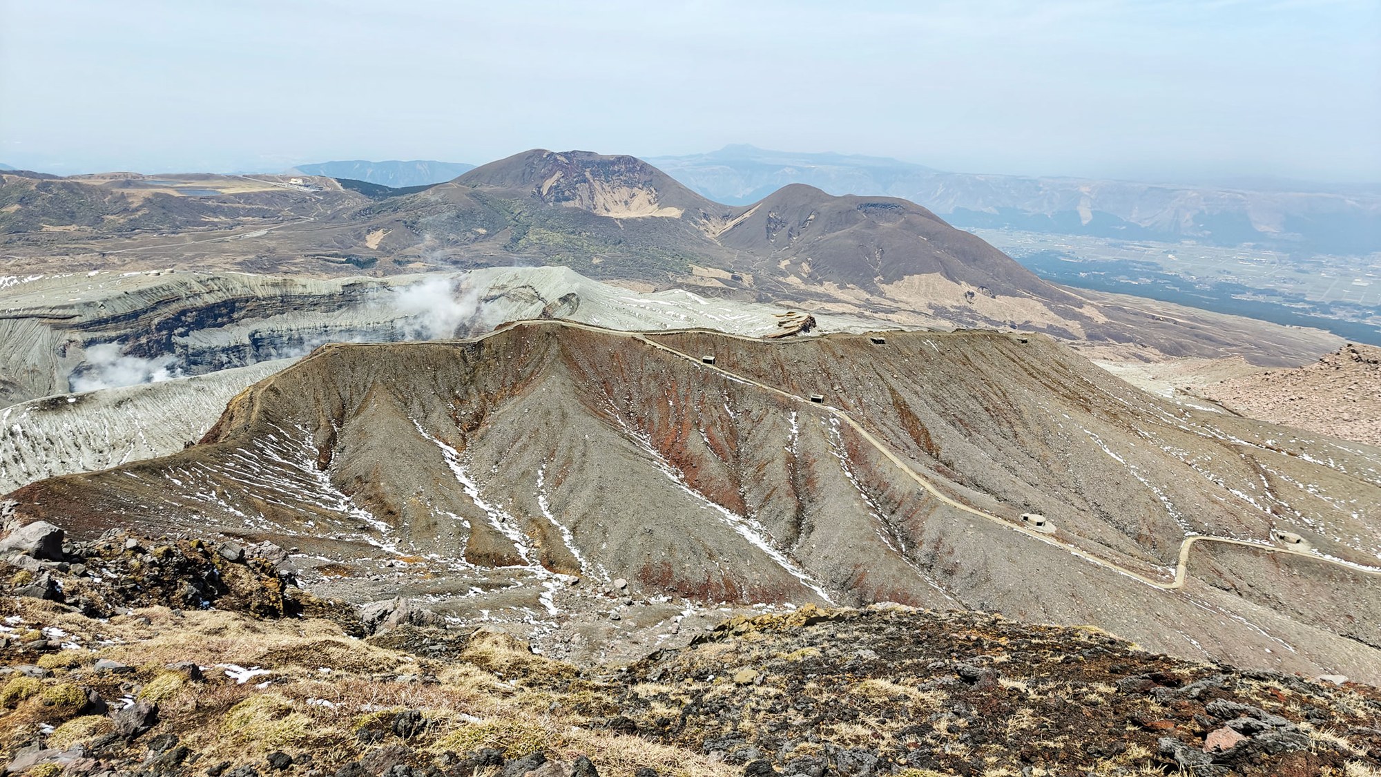
This was the part of the hike where we kept stopping for photos. Nothing blocks the view, so every turn gives another angle on the crater walls, ash slopes, fumaroles and distant caldera rim. It was also very windy, especially on the tops.
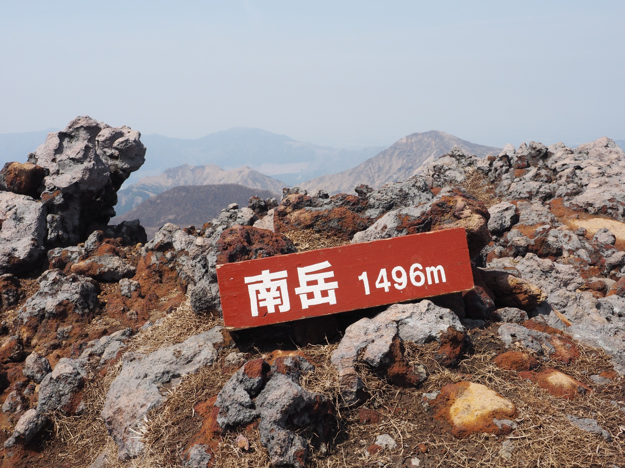
Once we were on top, we continued along the ridge and made the small detour to Minamidake before starting the descent. It is a short extra stretch that earns you more of the crater and a better sense of how the Aso peaks connect. The combination of sharp ridges, active crater views and raw volcanic ground made this the standout hike of our Kyushu trip.
The way down
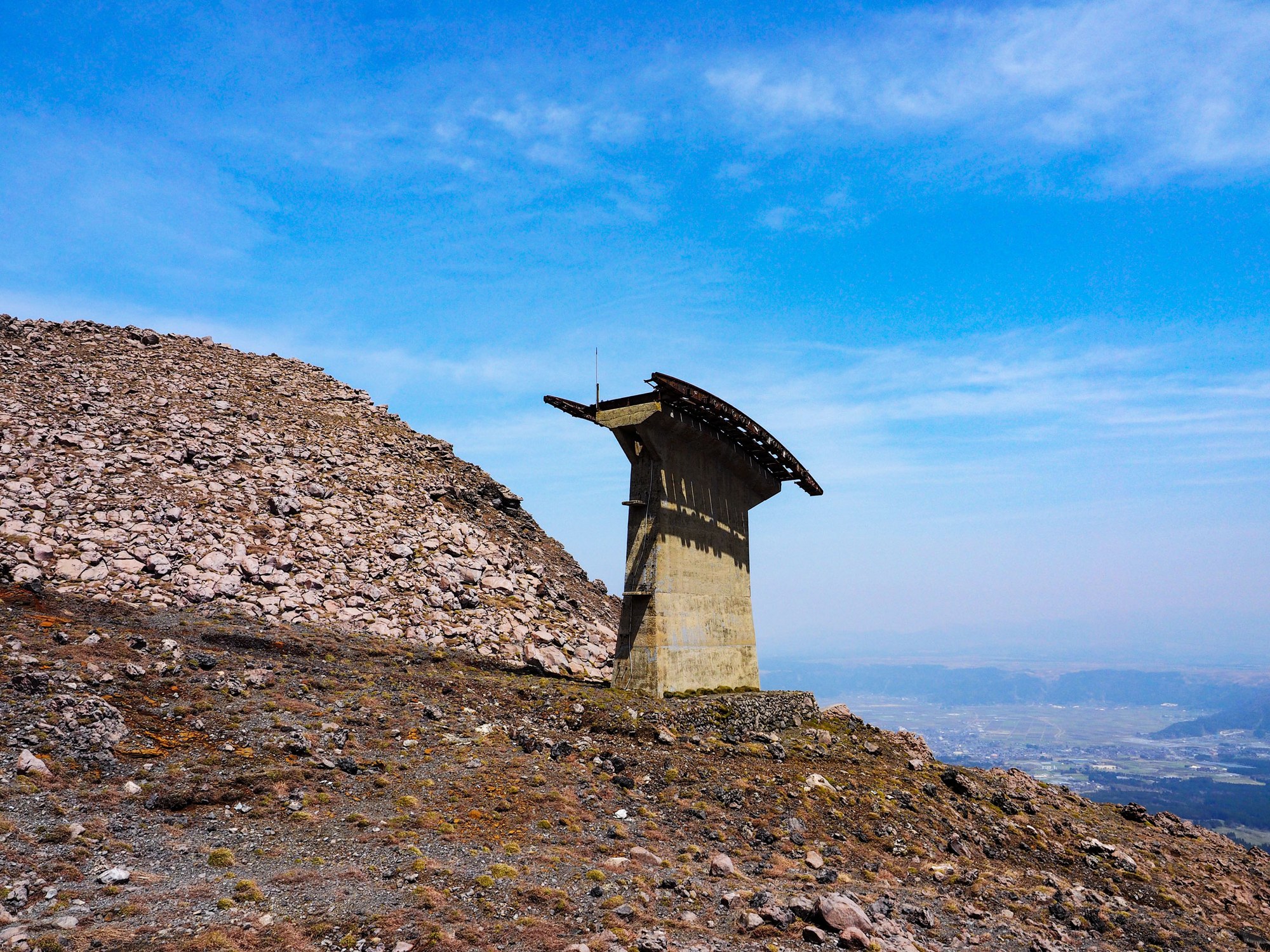
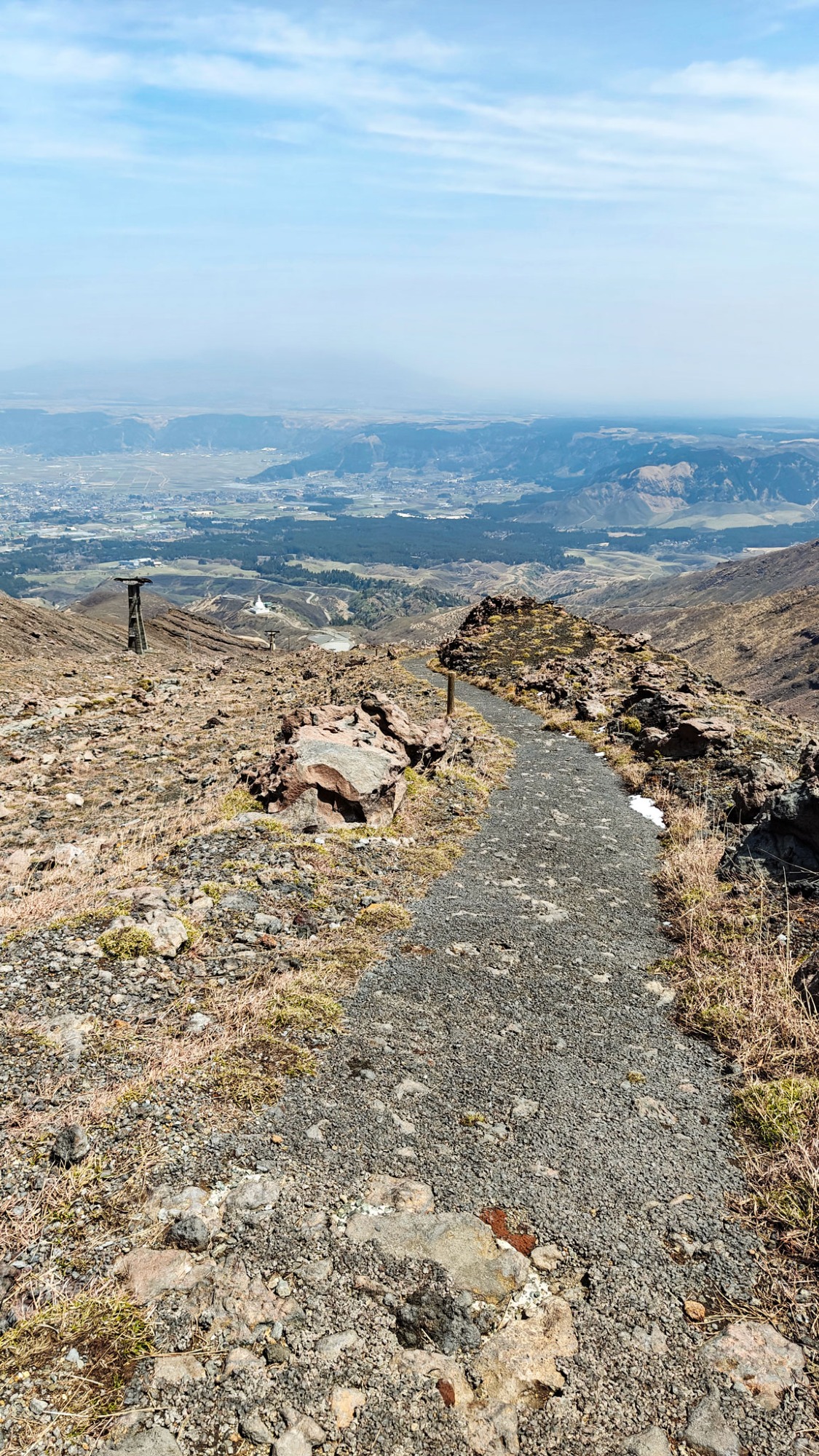
We descended by the old ropeway side. This used to be the route of the Aso ropeway, which no longer operates, and parts of the old service road and asphalt are still visible. It is now overgrown in places, with occasional shelters and abandoned-looking structures along the way.
This descent was much easier than the rocky ascent route. After the ridge, it felt more straightforward underfoot, although still open to the weather. Climbing the rough rocks first and coming down on the old road was the right way round.
After the hike
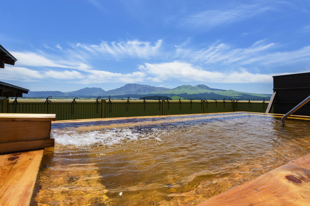
We finished the day with a soak at Tsukimawari Onsen (external link) on the south-east side of Aso, where the open-air bath looks straight across at Nekodake — exactly what you want after a hike like this.
We slept south of the caldera at Kyukamura Minami-Aso (external link): decent rather than fancy, but with a buffet dinner and breakfast, welcome coffee in the lobby, laundry service, and its own open-air onsen. Full lodging options are in Good to know below.
Good to know
- Getting there
There is no public transport, so you need a car. Start at Sensuikyo Parking, which is free and has toilets. There are no food shops, so bring your own food and water.
- Route
Recorded route: 8.26 km, 3:05:36, 879 m elevation gain. Sensuikyo Information Center to Nakadake, Takadake, Takadake East Peak and Minamidake, returning by the old ropeway side. GPX file attached below.
- Season
We hiked in April and still found snow on the first peak, with strong wind on the ridge. May is the famous Kyushu azalea season around Sensuikyo and Takadake East Peak.
- After the hike
Tsukimawari Onsen (external link) is the best after-hike soak if you are staying or driving on the south-east side of Aso.
- Where to stay
South of Aso, we stayed at Kyukamura Minami-Aso (external link). Northbound, use Kuju Hossho Hotel; for a simpler Aso-town base, Aso Plaza Hotel is closer to Sensuikyo.
- Official links
- GPX track
-
Download the GPX track of Sensuikyo hike to Nakadake and Takadake, for your maps app or GPS watch.
- Location
- Details
-
Visited Last checked