Ureshino Kyushu Olle walk
九州オルレ嬉野コース
A Kyushu Olle course over the tea hills between the porcelain kilns of Yoshida and the onsen town of Ureshino.
From the kilns of Yoshida into the tea hills
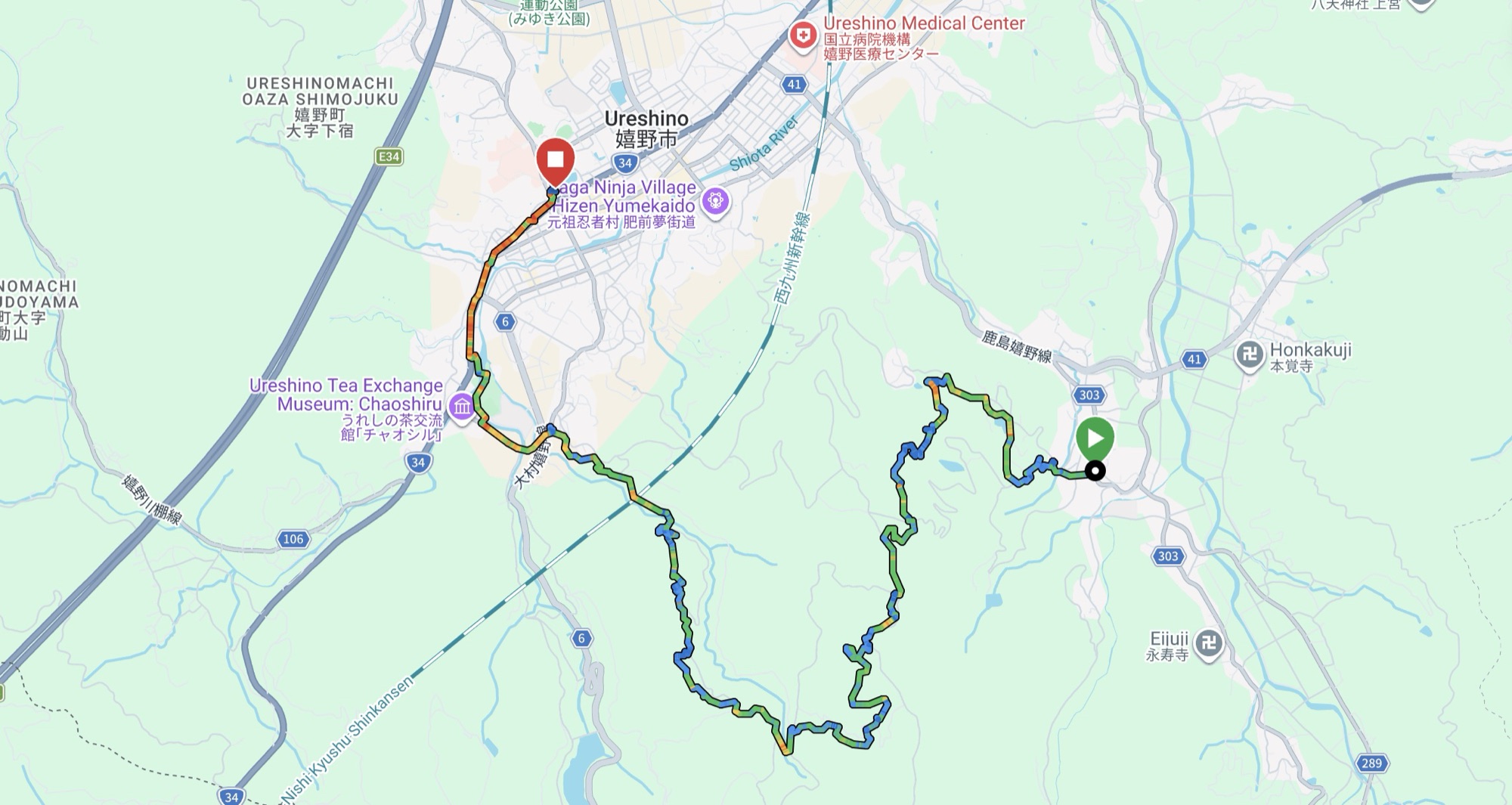
The Ureshino course is one of the Kyushu Olle routes, a network of waymarked walks run across Kyushu as a sister trail to Korea's Jeju Olle. This one starts at the Hizen Yoshida-yaki Kiln Hall, in the porcelain village of Yoshida east of town, and finishes in the middle of the onsen town. Between the two it climbs onto the tea plateau, crosses a planted forest and comes down the river.
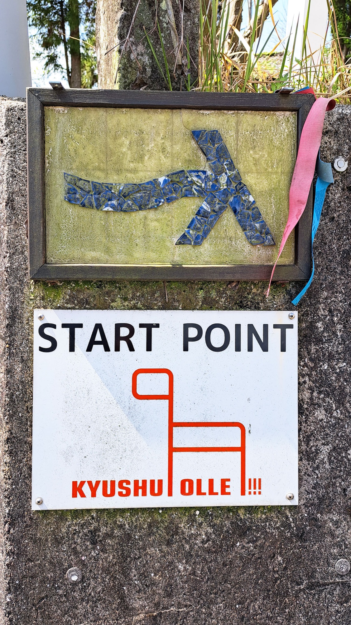
The start is marked on a wall beside the kiln hall: the Olle running-man logo laid out in broken blue-and-white porcelain shards, with the trail's pink and blue ribbons knotted next to it.
We left our bags in a locker at the bus centre and took the bus out to Yoshida. From there the course is a long, steady up and down between valleys.
Tea fields, from every angle
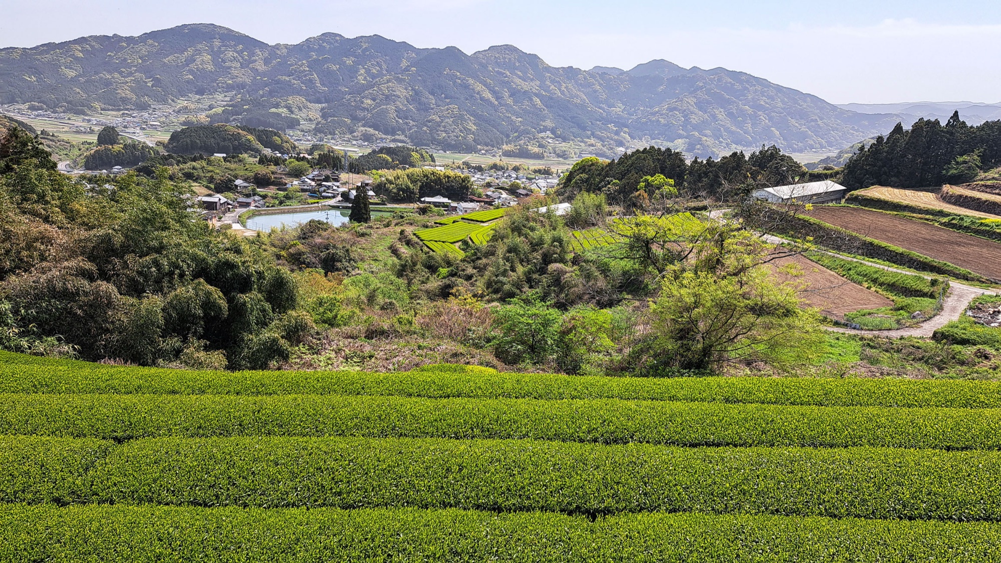
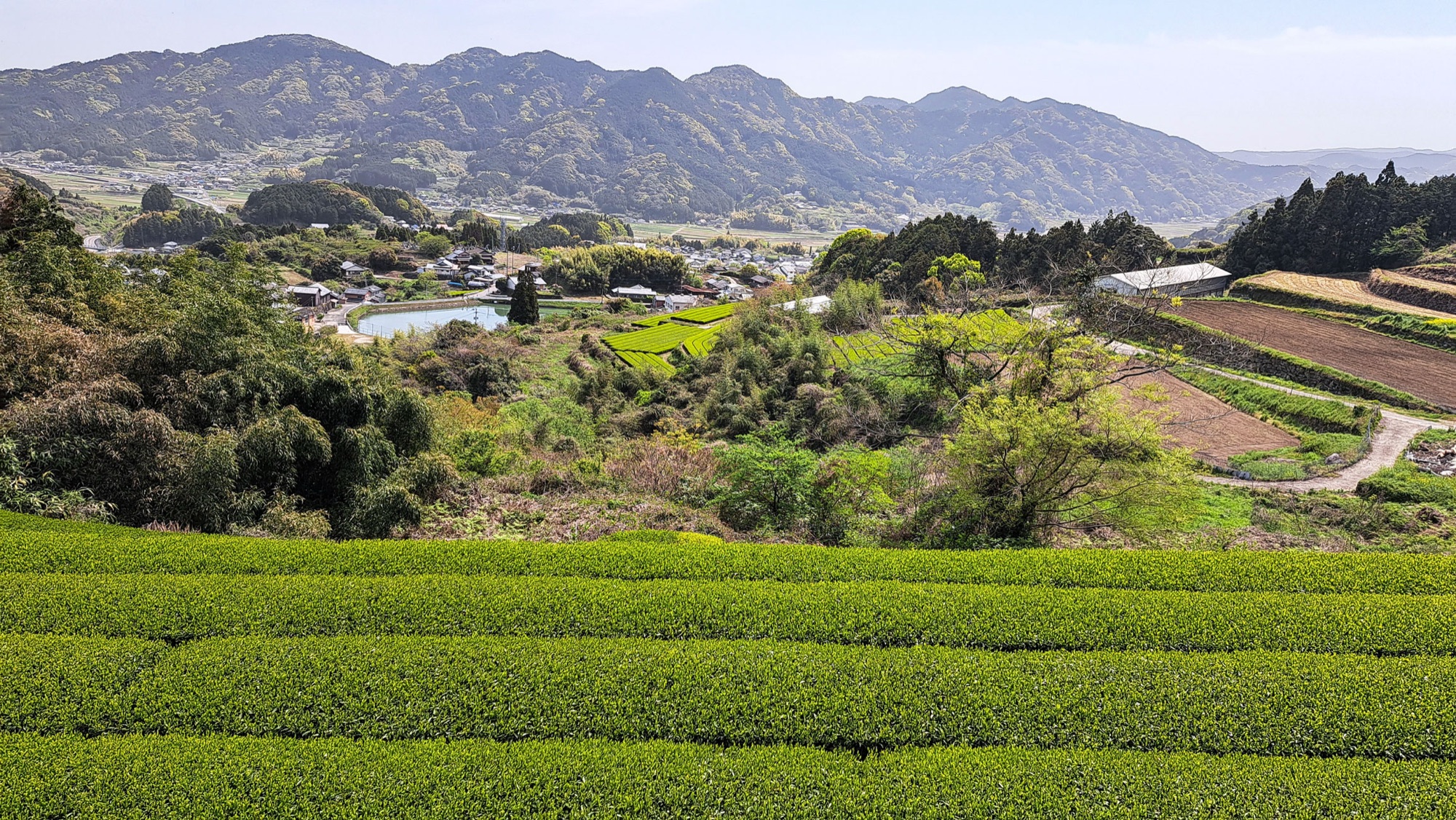
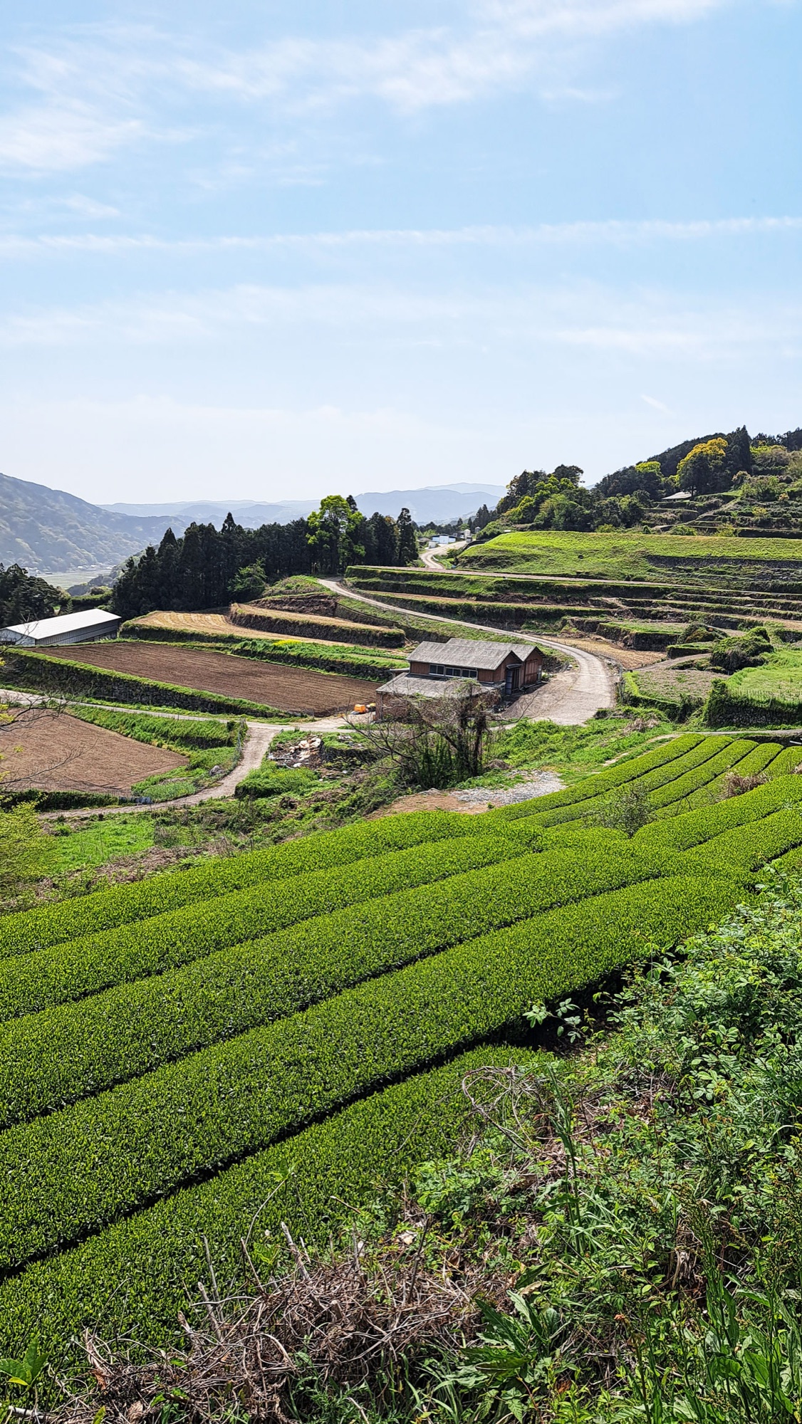
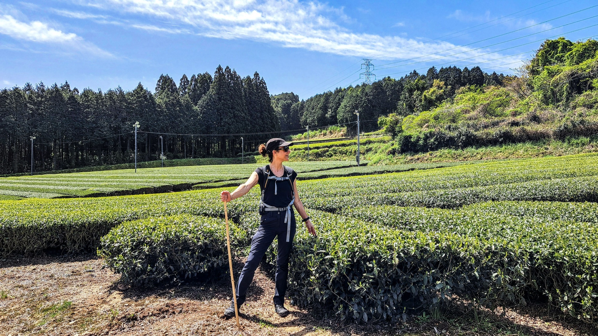
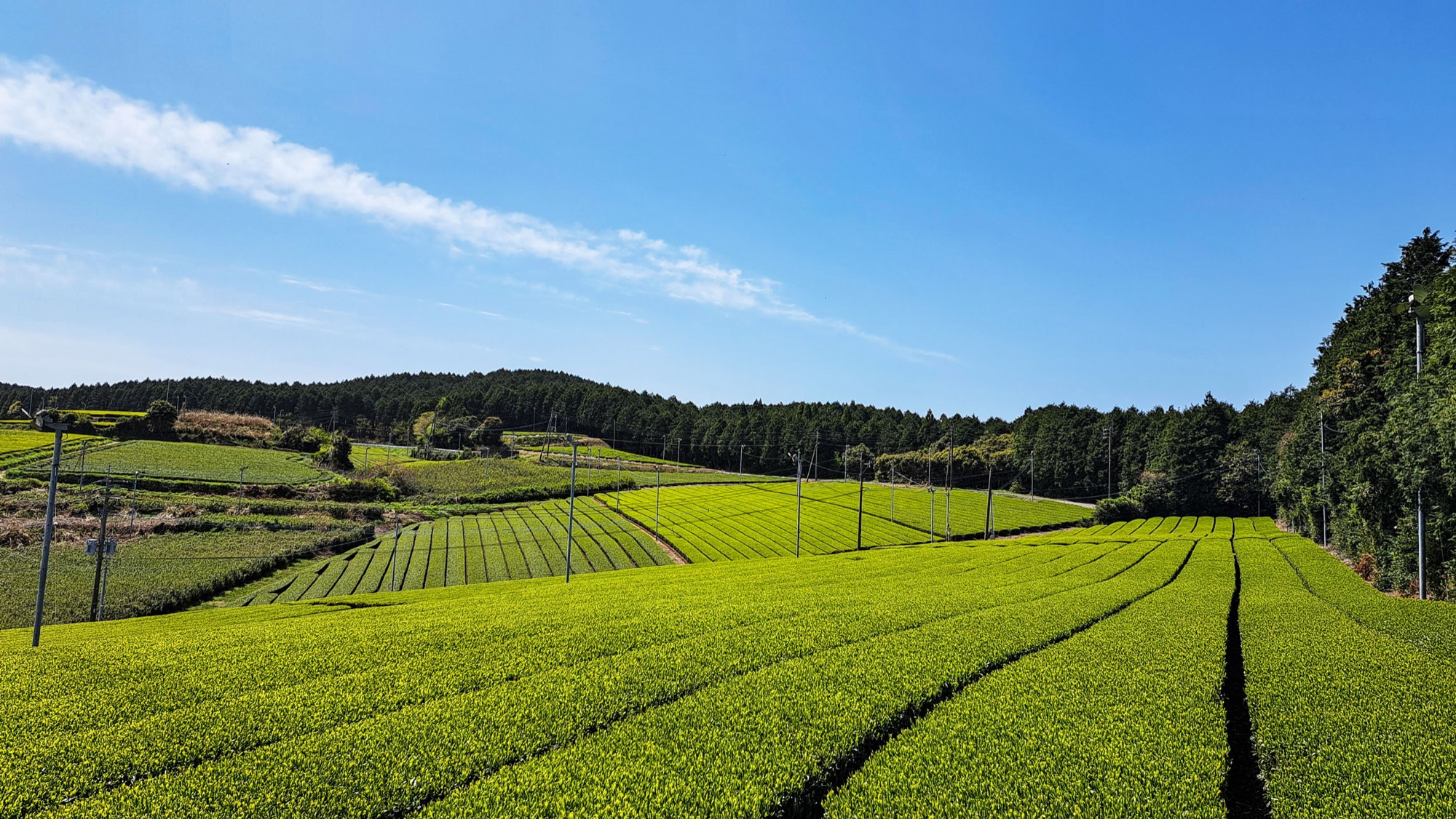
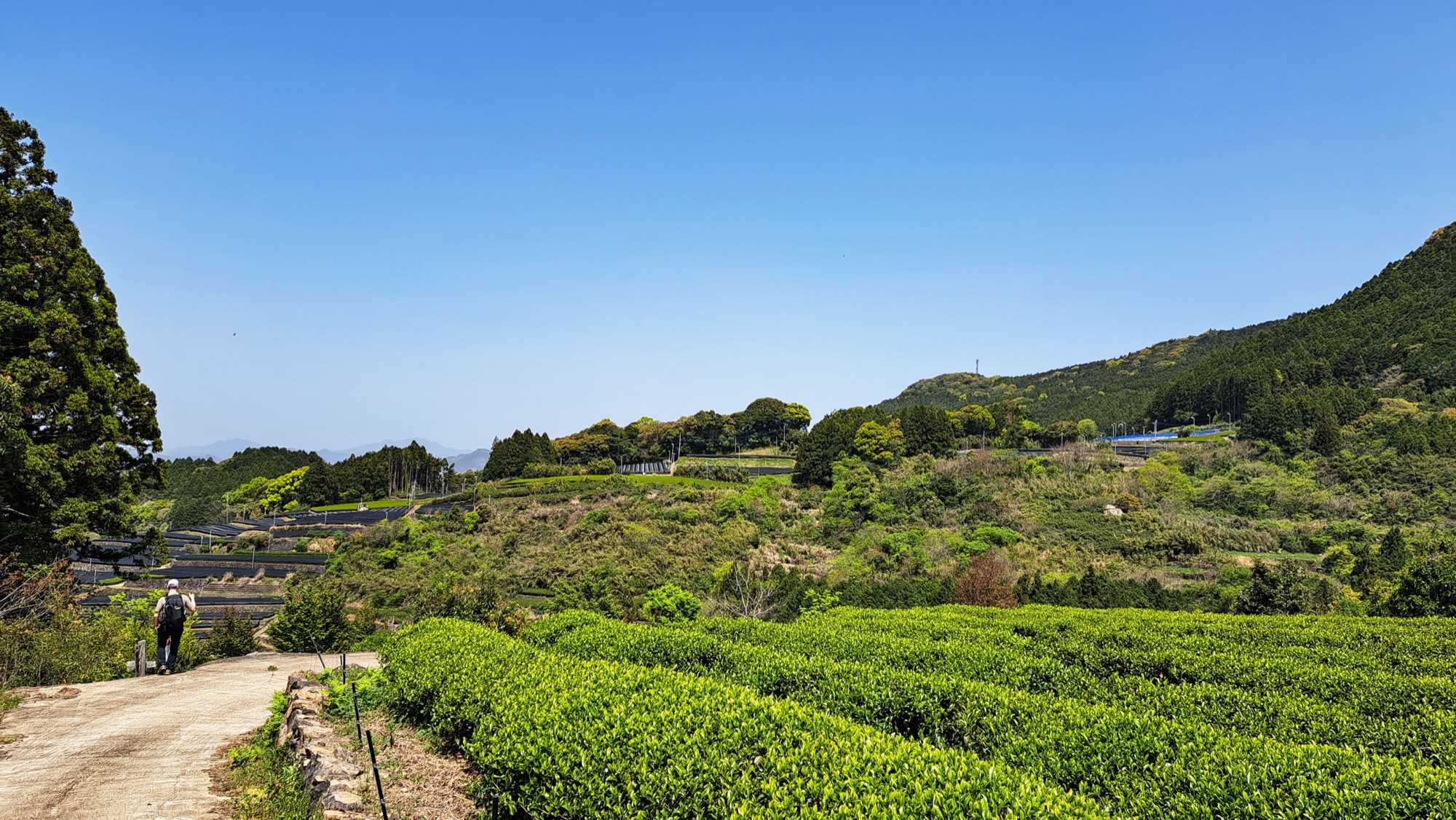
Ureshino is a tea town as much as an onsen one, and the first half of the walk is almost continuously in tea: every field sits at a different angle, rows fanning out across an open slope, rows bending around a contour, small plots stacked in stone-walled terraces above a village.
Tall poles with fans on top stand over the larger fields, there to move the air on frost nights. The biggest open stretch on the route is the Bozugawara pilot tea garden (坊主原パイロット茶園), tea up to the treeline with cedar plantation behind it and nothing else in sight. Underfoot it alternates between concrete farm tracks, cut earth between the rows and short sections of road.
It also passes a handful of small shrines and temples: Daijoji and Yoshiura shrine early on, Gongen-san and its Thirteen Buddhas above West Yoshida.

Through the 22nd Century Asian Forest
The 22nd Century Asian Forest is a Saga prefecture conservation forest, planted with trees and flowers from across Asia as a place of international exchange and with more than four hundred metasequoia in it. The course crosses it on woodland paths.
From there it drops through the Shiiba valley and past Kumano shrine towards the river.
Todoroki Falls and the river into town
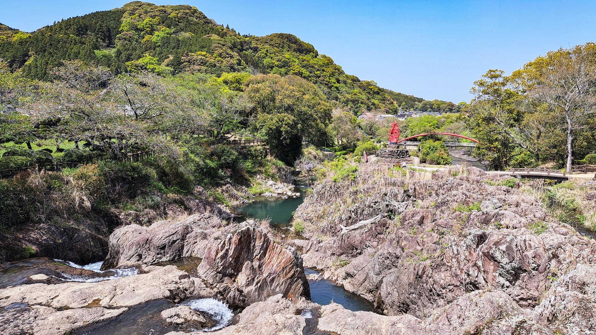
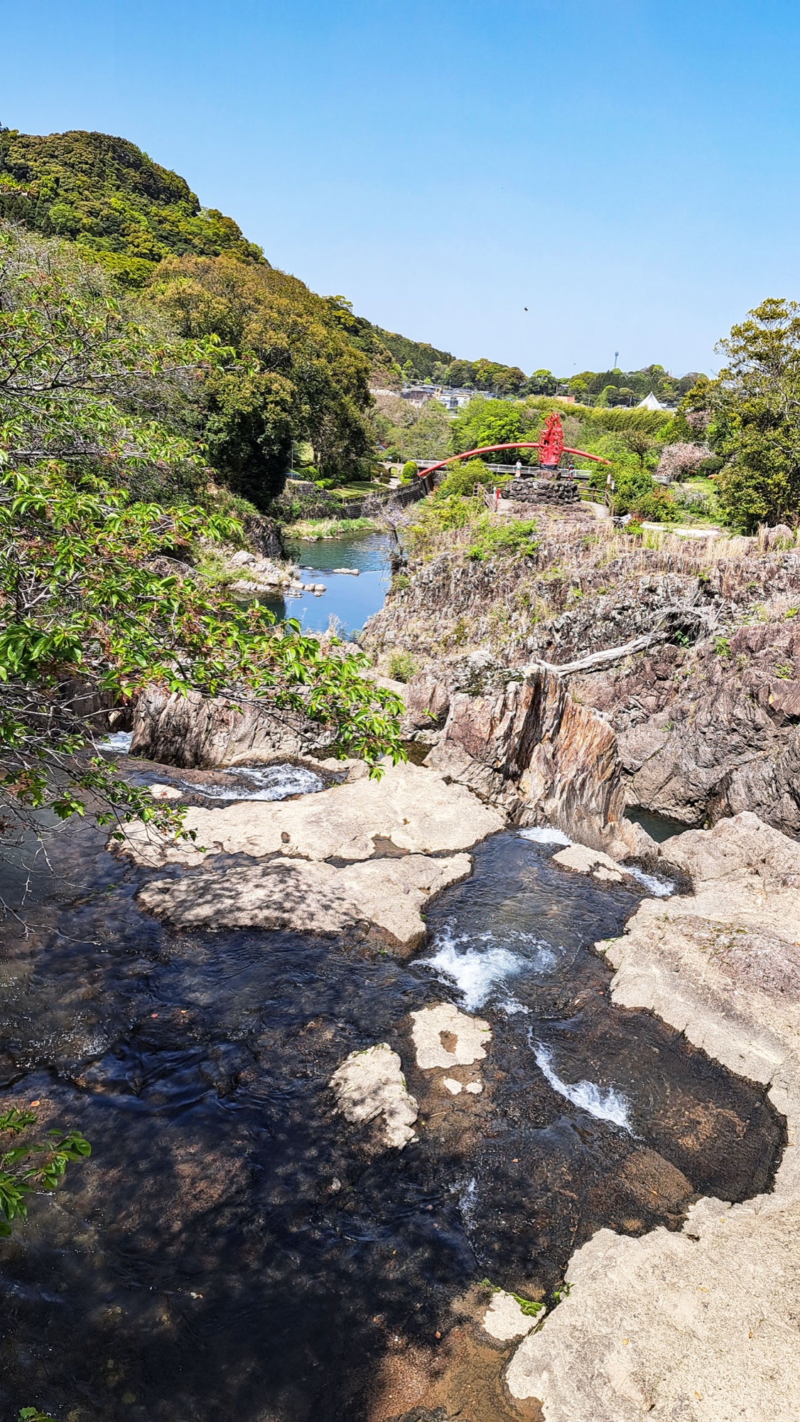
The walk comes back to water at Todoroki Falls (轟の滝), where the Shiota and Iwayagawachi rivers meet. The falls are not tall, but they land in a wide bed of pale, tilted rock, with a red arched bridge just downstream and a park on the bank. The name comes from todoroku, to roar.
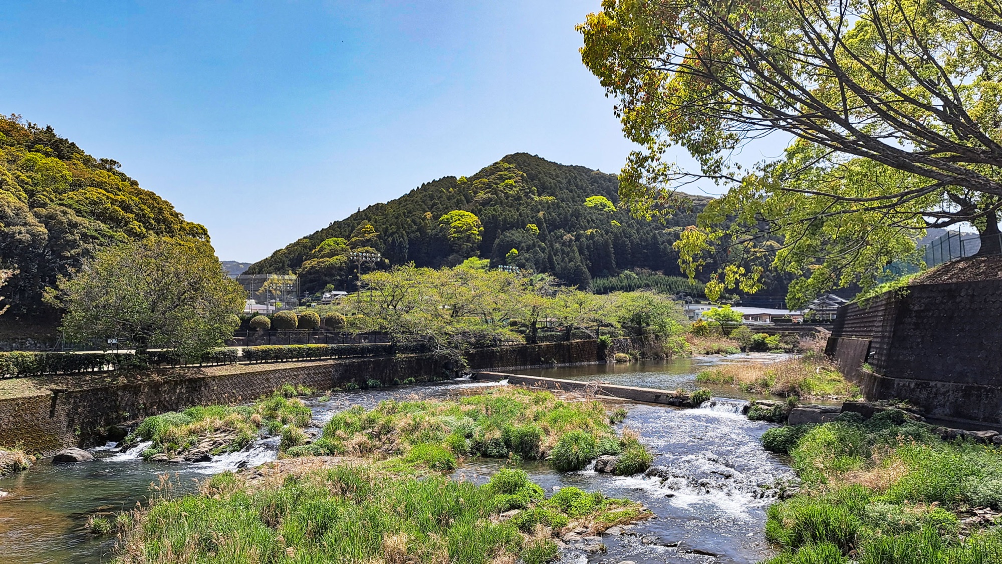
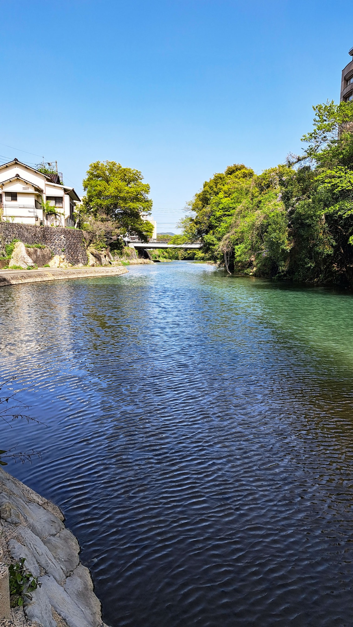
From the falls the route follows the Ureshino River promenade the rest of the way in, past low weirs and more layered rock, to the onsen park in the middle of town. Across the water stands Siebold's Bath, an orange-roofed public bathhouse built in 2010 in a Taishō-era style. The course finishes at the foot bath beside it.


One night in Ureshino
We finished at half past one and were sitting in Pizzeria Monte Stella on the shopping street ten minutes later. Wood-fired margherita, very good.
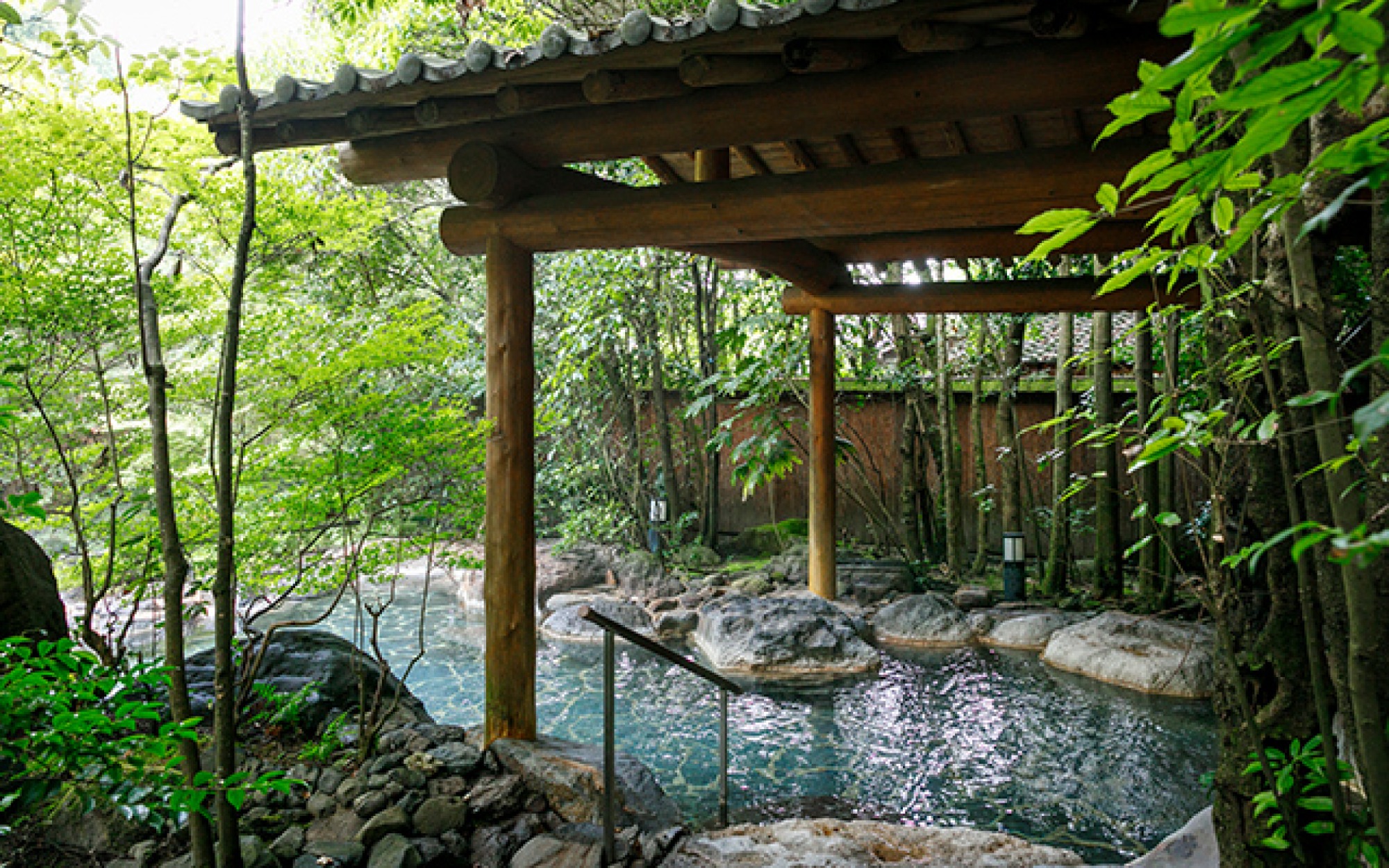
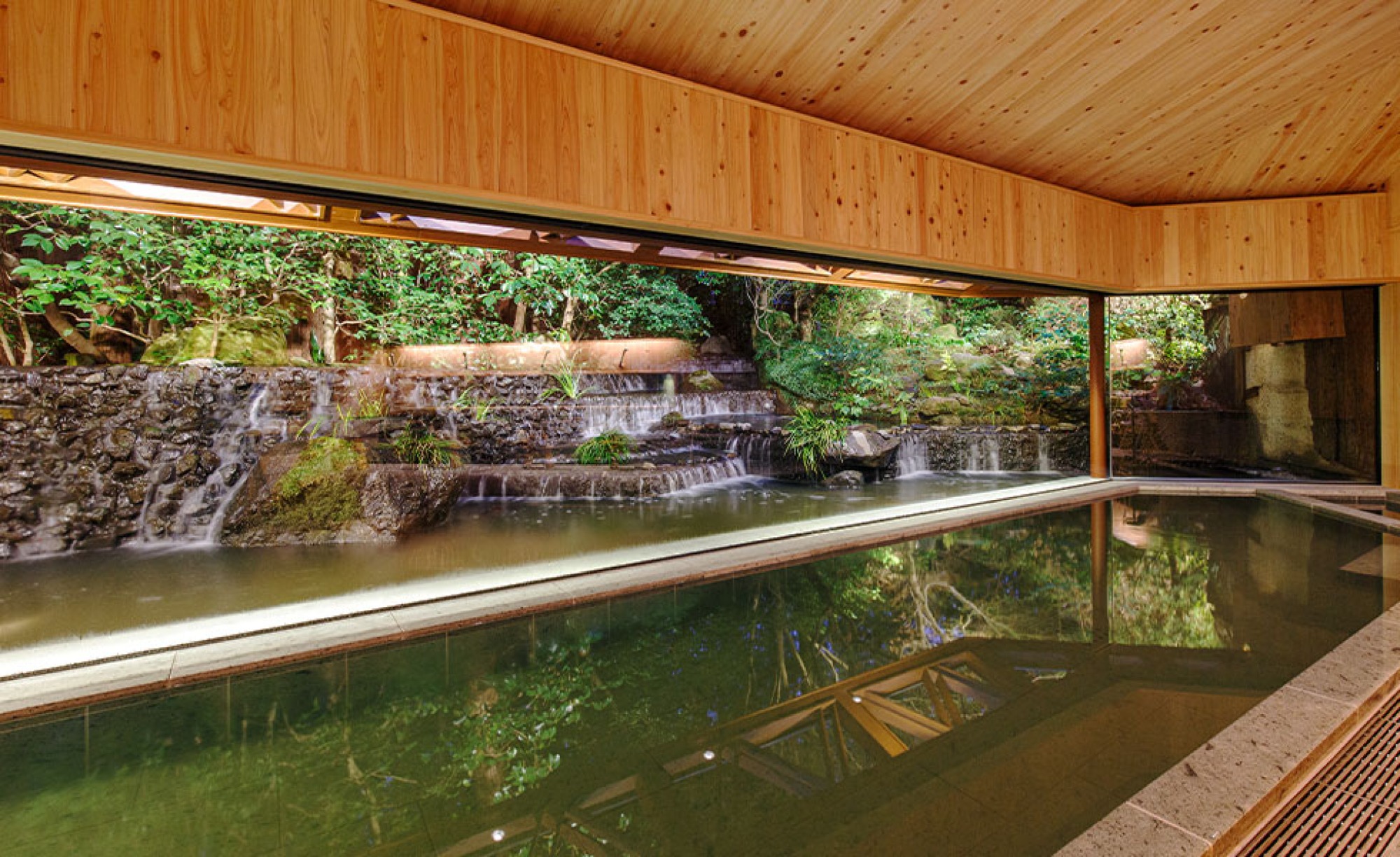
Ureshino's water is a colourless sodium bicarbonate spring, counted as one of Japan's three beauty-skin waters. The ryokan we stayed in had its own bath and let us into the group's main inn as well, which was on another scale entirely. Later a minibus ran us up to a large open-air bath in the woods above the valley.
The town is small and easy to be in, and one night was not enough. It works better as a base than a stop, with the Olle course as the reason to come.

Good to know
- Getting there
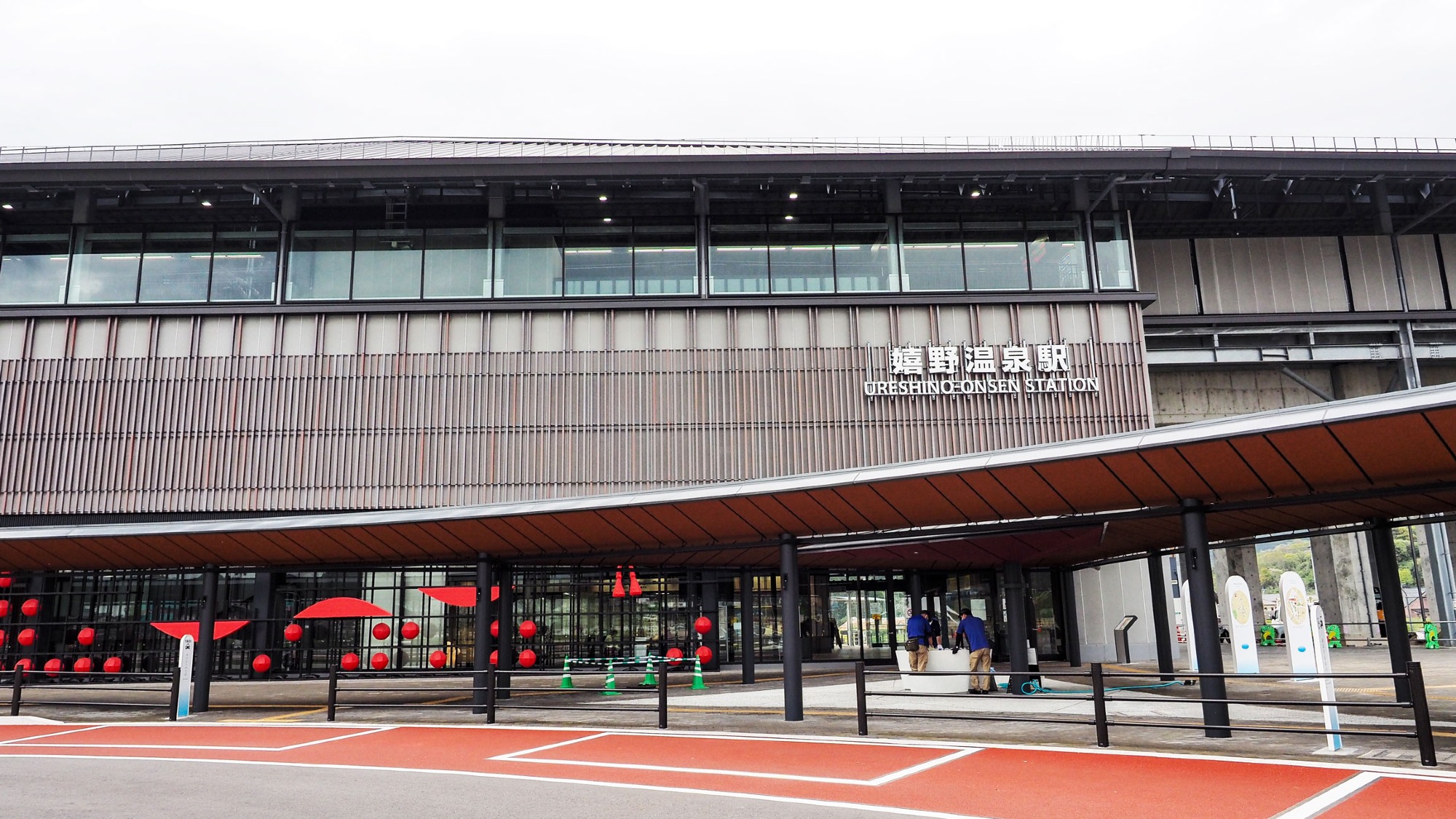
- To Ureshino — Nishi-Kyushu Shinkansen to Ureshino-Onsen Station, then about 7 minutes by bus or 25 minutes on foot to the onsen town. JR Kyushu bus also runs from Takeo-Onsen Station to the bus centre in about 30 minutes.
- To the start — Yutoku bus from Ureshino Onsen Bus Center towards Kashima via Yoshida, off at Kami-sarayama (上皿屋).
- Coin lockers at the bus centre take a full rucksack; the shinkansen station only has small and medium ones.
- Route & difficulty
- Official — 12.5 km, 4–5 hours, rated intermediate to advanced.
- Our track — 12.03 km, 512 m ascent, 3 h 15 min including stops.
- Start — Hizen Yoshida-yaki Kiln Hall, 8:30–16:30, closed 29 December to 1 January. Finish — Siebold's foot bath in the onsen town.
- No water, shops or vending machines on the tea sections.
- Season
We walked it in mid-April: clear, warm, the tea at full green. No shade on the tea plateau — the forest section is the only cover on the route.
- Baths
- Siebold's Bath (シーボルトの湯) — town-centre public bath at the finish. 6:00–22:00, last entry 21:30, closed the third Wednesday of the month. ¥420 adults, ¥210 primary school.
- Shiibasanso (椎葉山荘) — the big open-air bath in the woods above the valley, day use 11:00–21:00, last entry 20:00, ¥1,300 including towel.
- Where to stay
- Taishoya group — 大正屋 and 椎葉山荘. Guests at either inn can use four baths across both, with a free shuttle between them.
- Yuyado Seiryu (湯宿清流), where we stayed, has closed. GOTEN Resort took it over and reopened it on 15 November 2025 as Kotan Ureshino (枯淡 嬉野), 18 rooms.
- Lunch
Wood-fired Neapolitan pizza at Pizzeria Monte Stella (external link), on the shopping street a few minutes from the finish.
- Official links
- GPX track
-
Download the GPX track of Ureshino Kyushu Olle walk, for your maps app or GPS watch.
- Location
-
Ureshino Onsen Open in maps (external link)
- Details
-
Visited Last checked