Karatsu Kyushu Olle walk
九州オルレ唐津コース
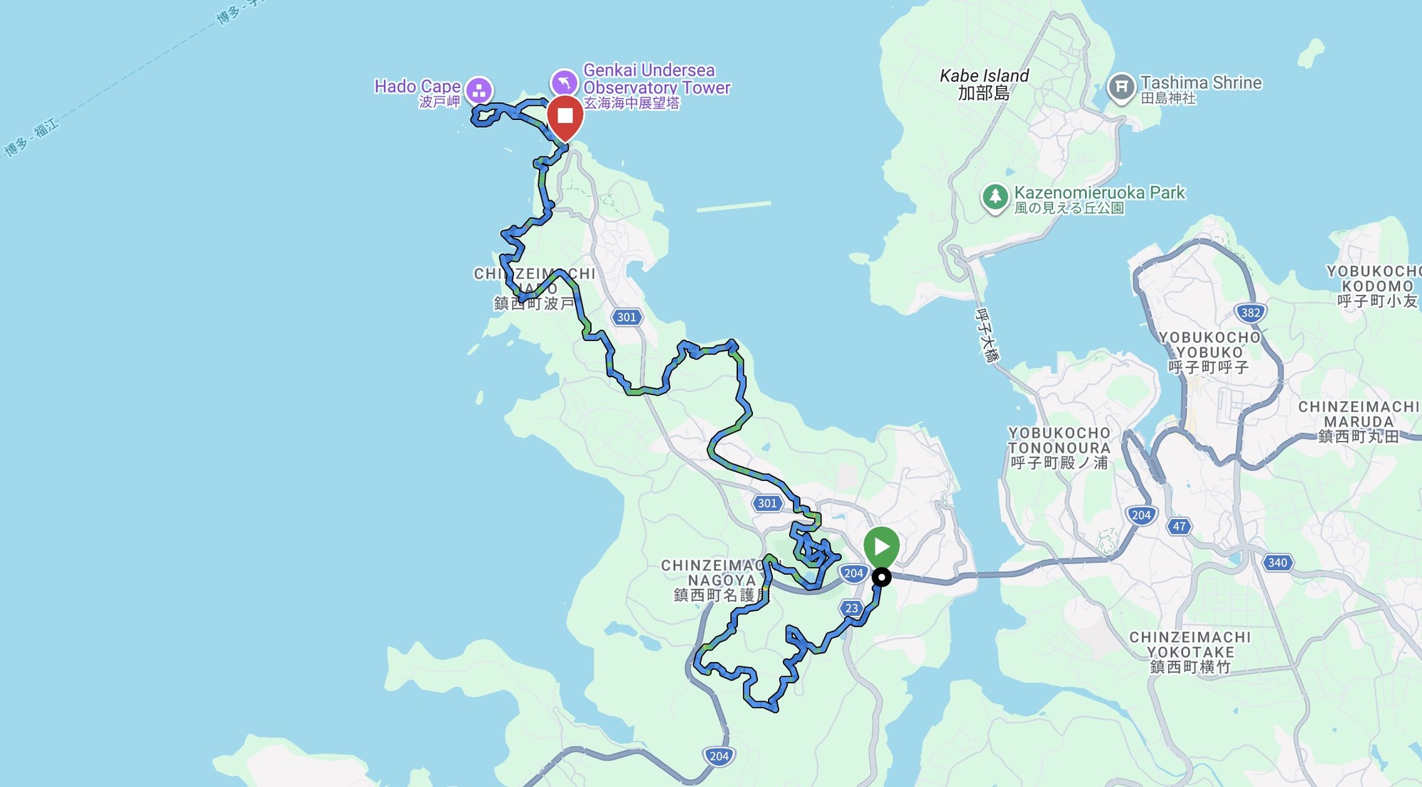
A Kyushu Olle course on the Higashi Matsuura peninsula, from the ruins of Toyotomi Hideyoshi’s invasion headquarters at Hizen Nagoya out to the basalt cliffs of Hado Cape.
From Hizen Nagoya to Hado Cape
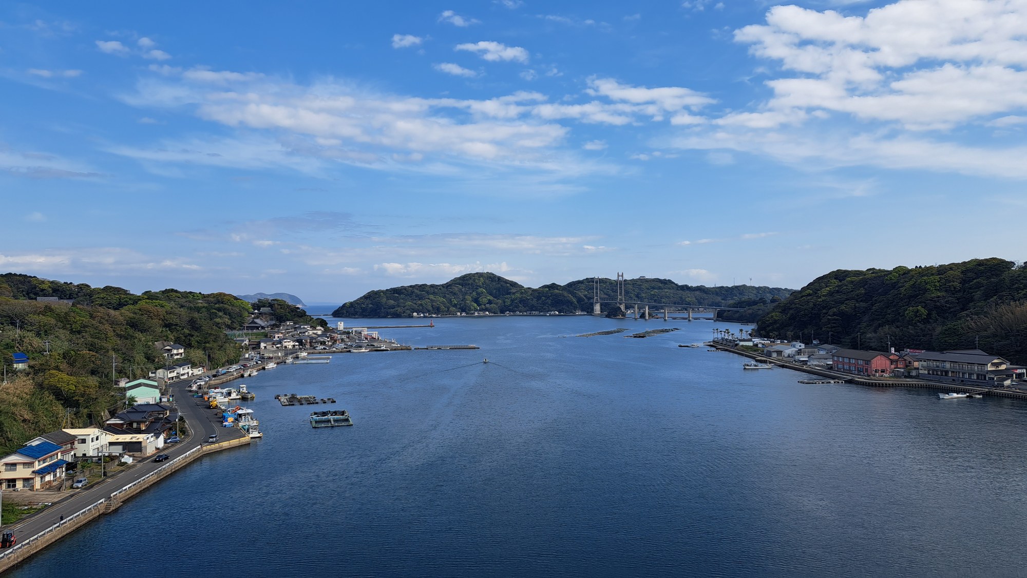
The Karatsu course was part of Kyushu Olle, a network of waymarked walks across Kyushu based on Korea’s Jeju Olle. It crossed the Higashi Matsuura peninsula from Hizen Nagoya Castle to Hado Cape, linking a sunken forest lane, a large castle ruin and a basalt coast in one easy half-day walk.
We liked it a lot. We have also walked the Saiki Onyujima and Ureshino courses.
Before the castle the route looped through woods and fields past the sites of the daimyō encampments. More than 150 lords camped within three kilometres of Hizen Nagoya while the invasion force assembled.
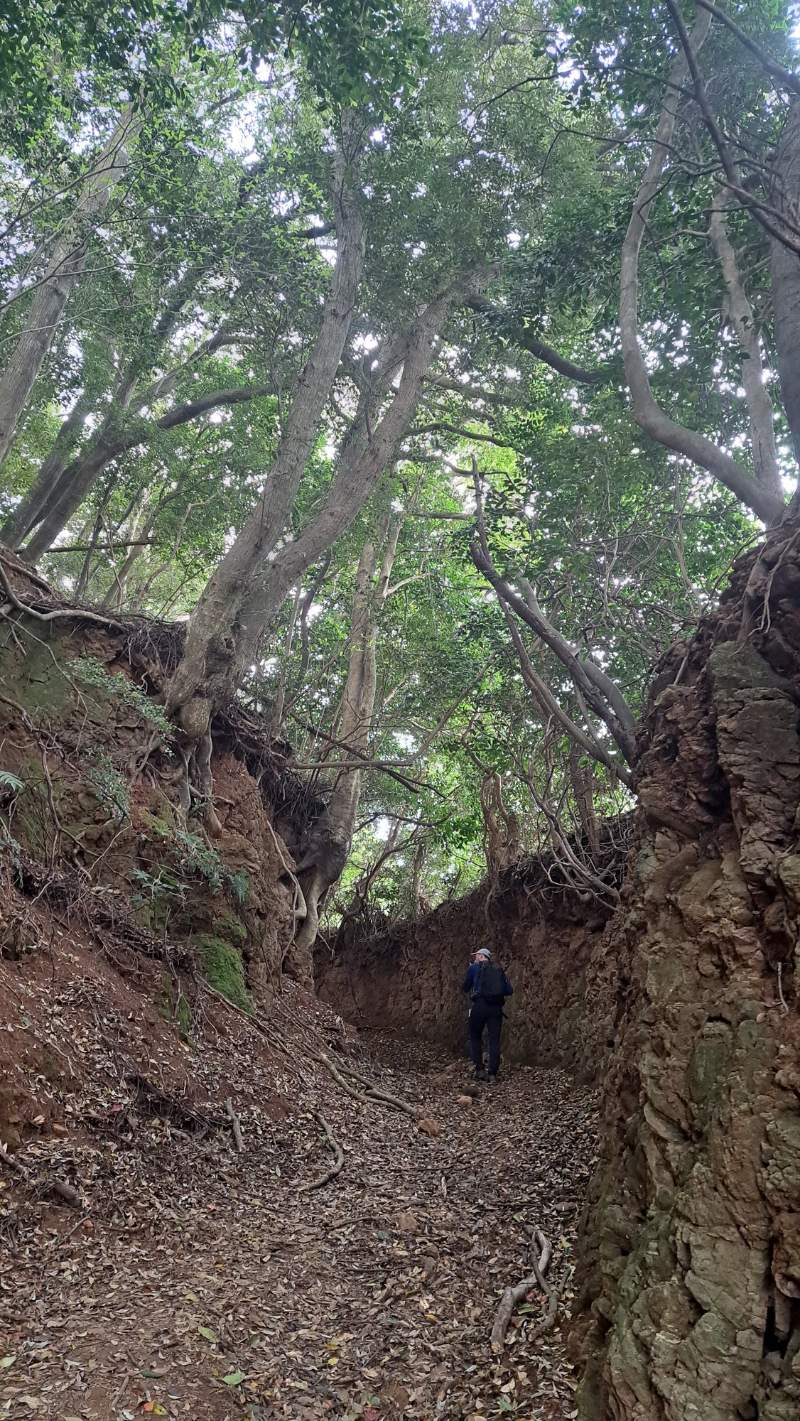
The road between them survives as a sunken lane between earth banks, with roots at head height and trees closing over the top. The course marked it as a 400-year-old road linking the camps to each other and the castle.

Hizen Nagoya Castle
Toyotomi Hideyoshi had Hizen Nagoya built in 1591 and 1592 as the base for his invasion of Korea. Only Osaka Castle was bigger: a five-storey keep and 170 hectares of walled ground, surrounded by a town of several hundred thousand people.
Hideyoshi directed the war from here but never crossed to Korea. After his death in 1598 the troops were recalled and the castle was dismantled.
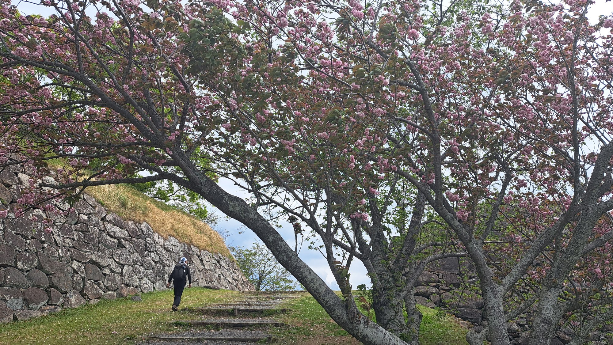
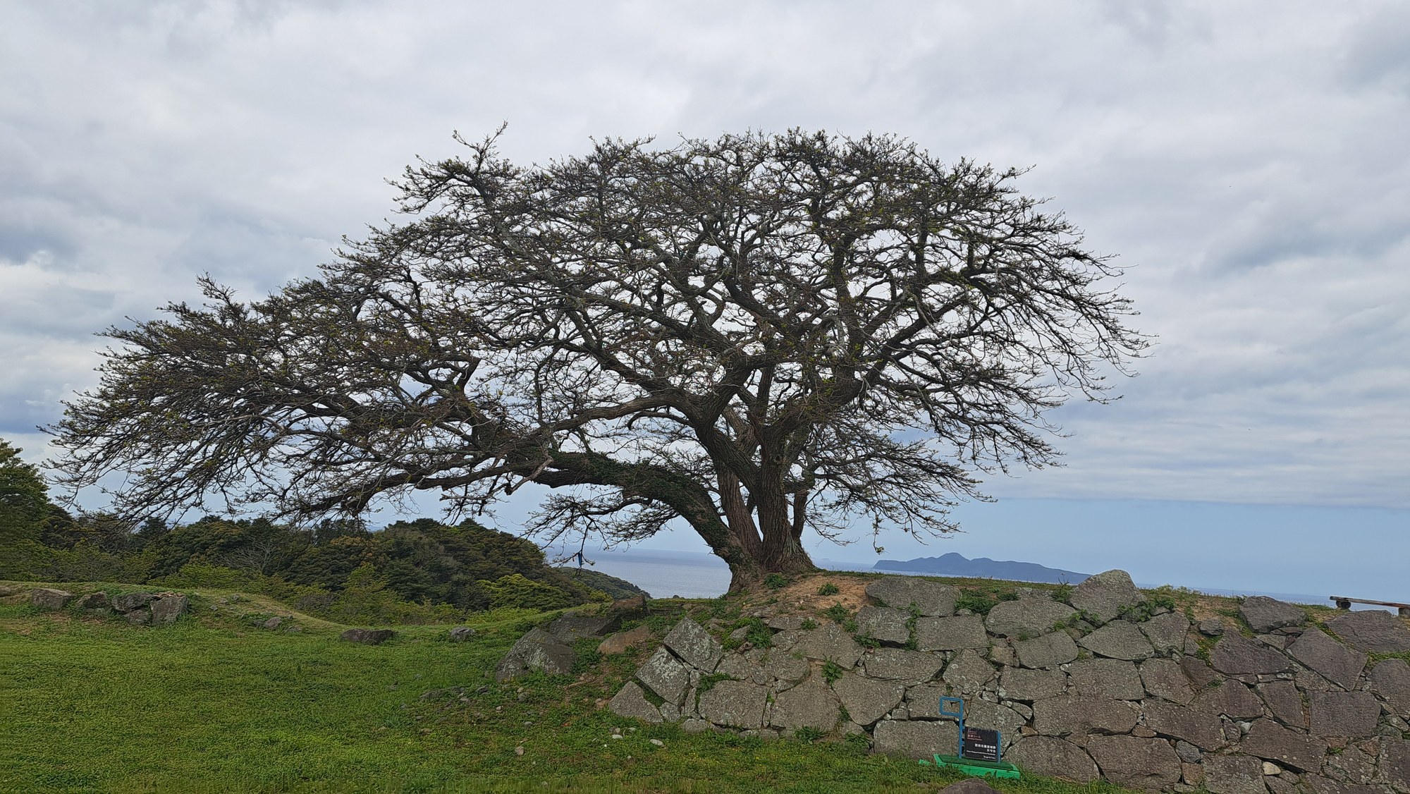
The path climbs past stone terraces and mown enclosures to the keep platform, just under 100 m and the high point of the walk. Yaezakura was still flowering over the steps in mid-April, and from the top the ground drops away to the Genkai Sea.


The Hado Cape nature trail
From the castle the route continued for about four kilometres on lanes and coast road before dropping onto the nature trail around Hado Cape.
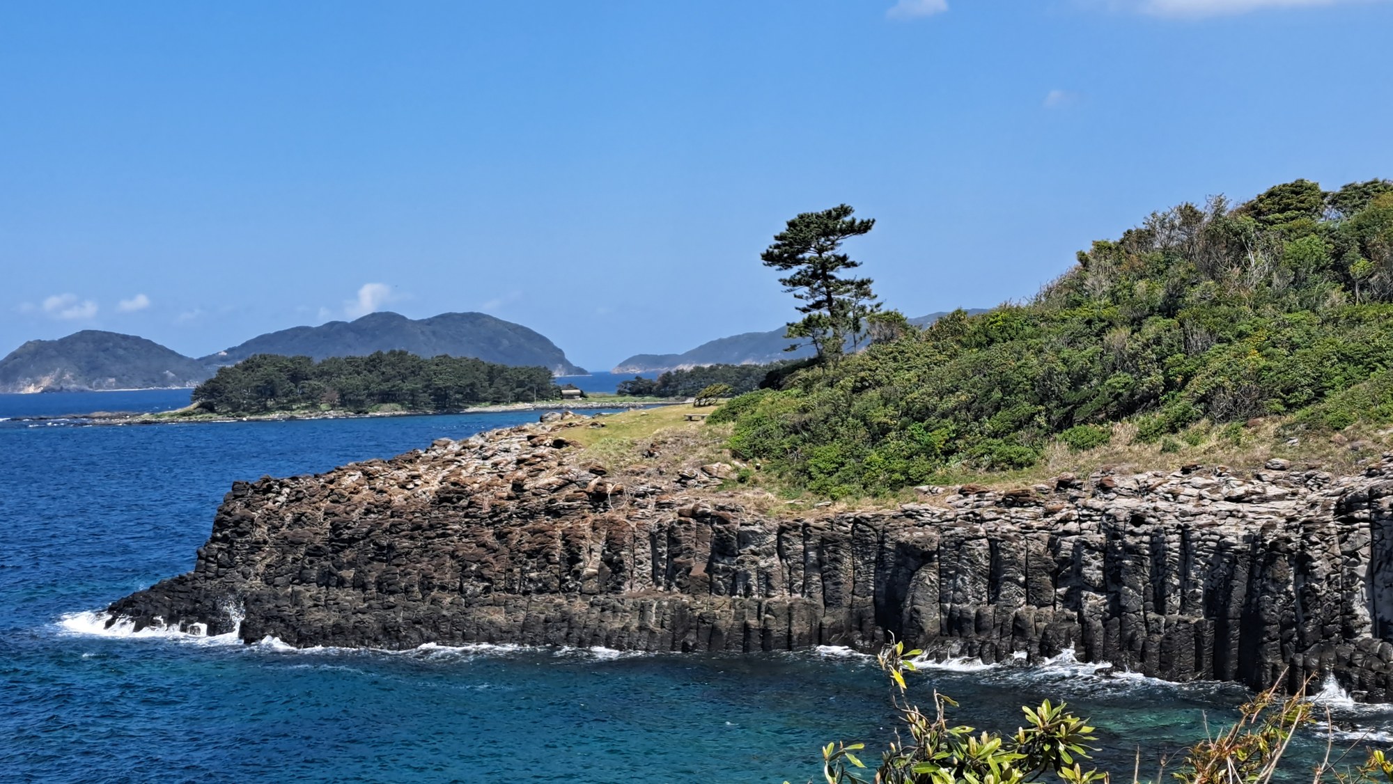
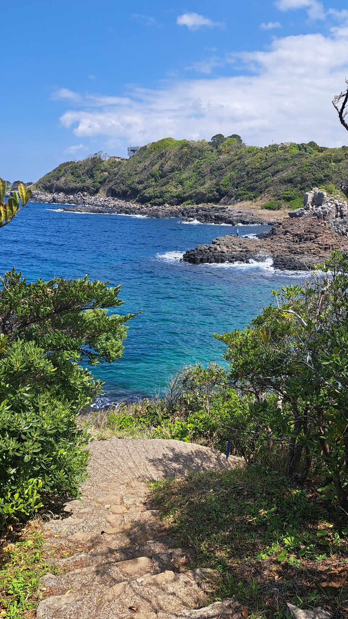
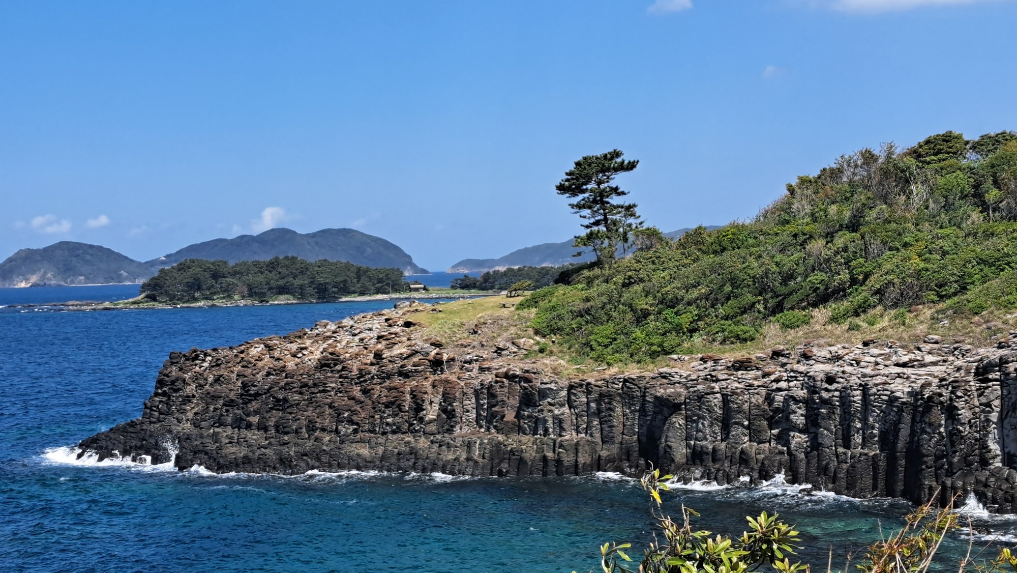
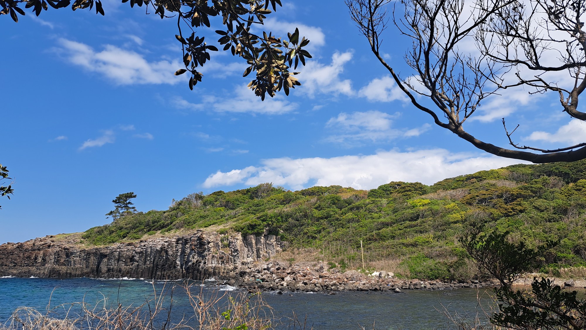
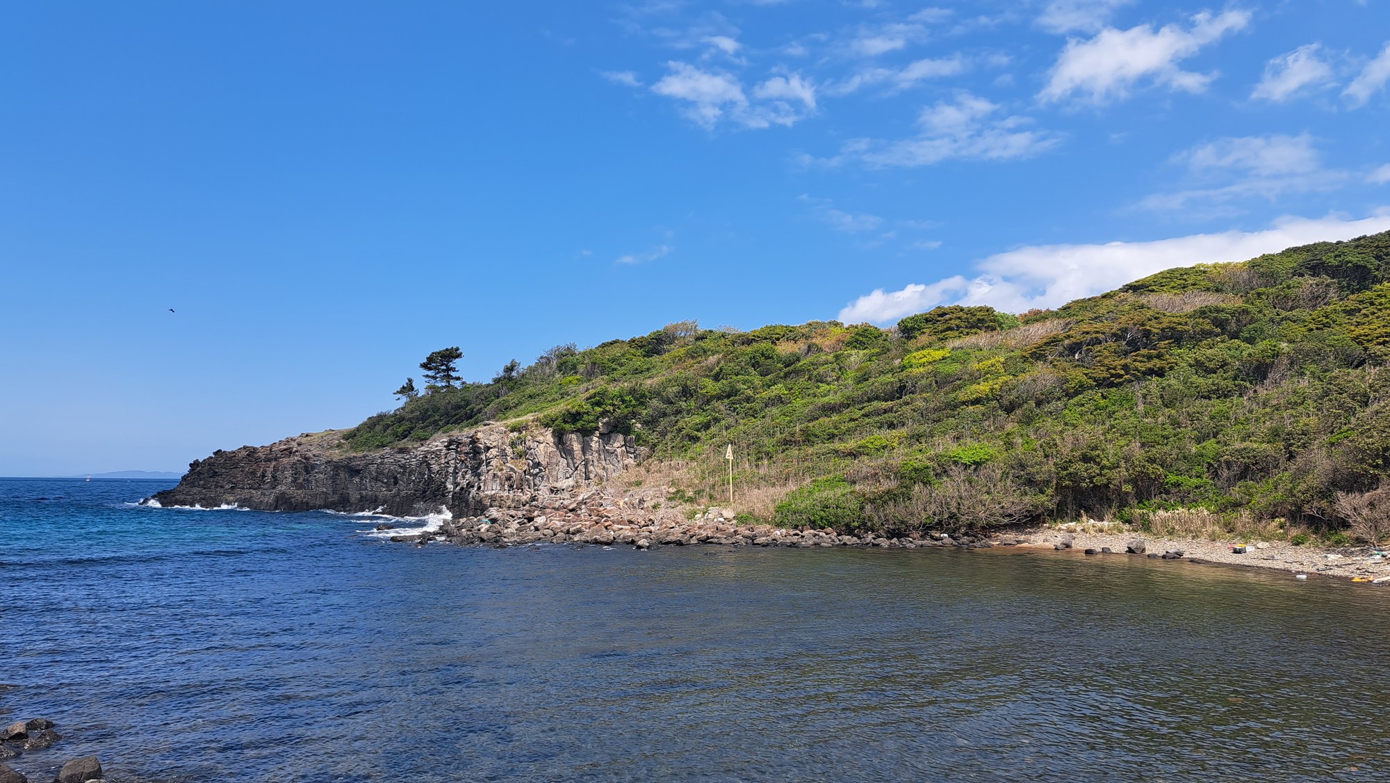
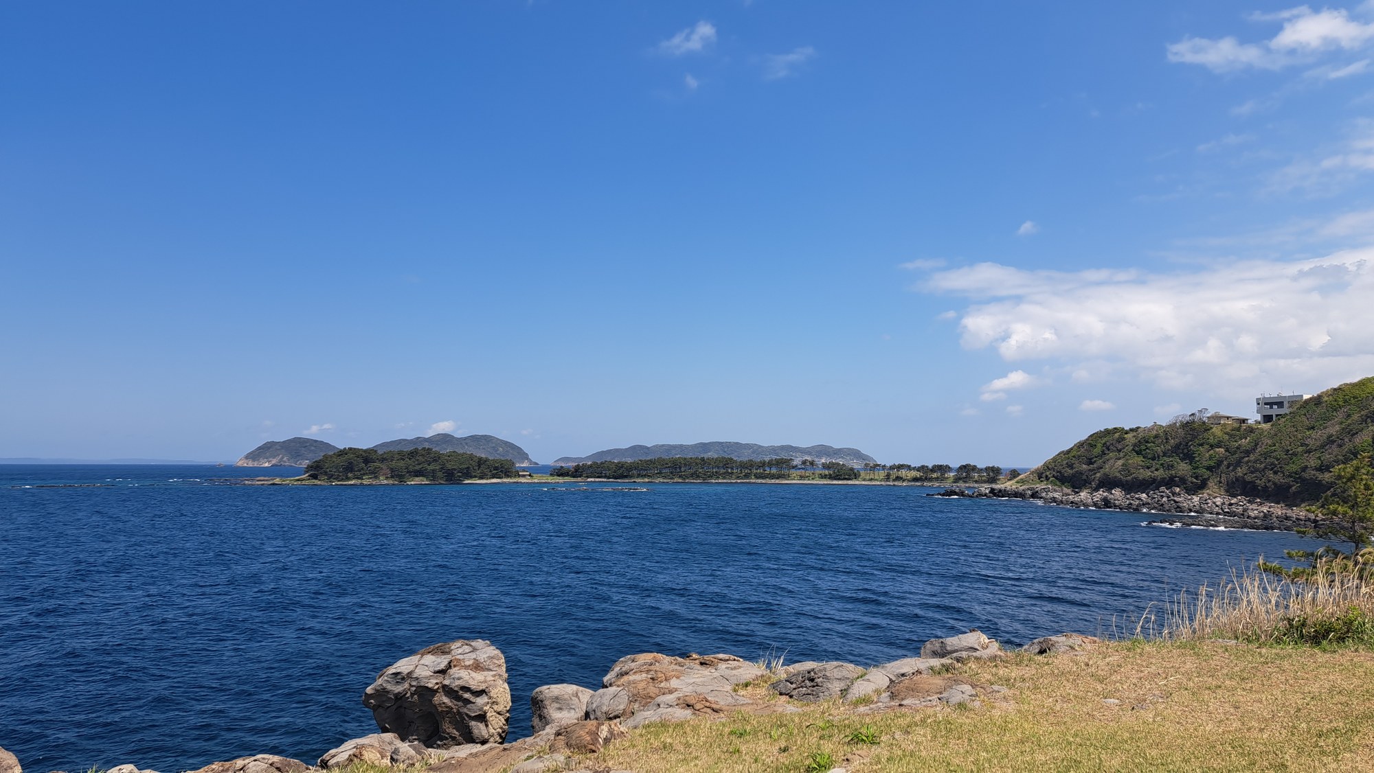
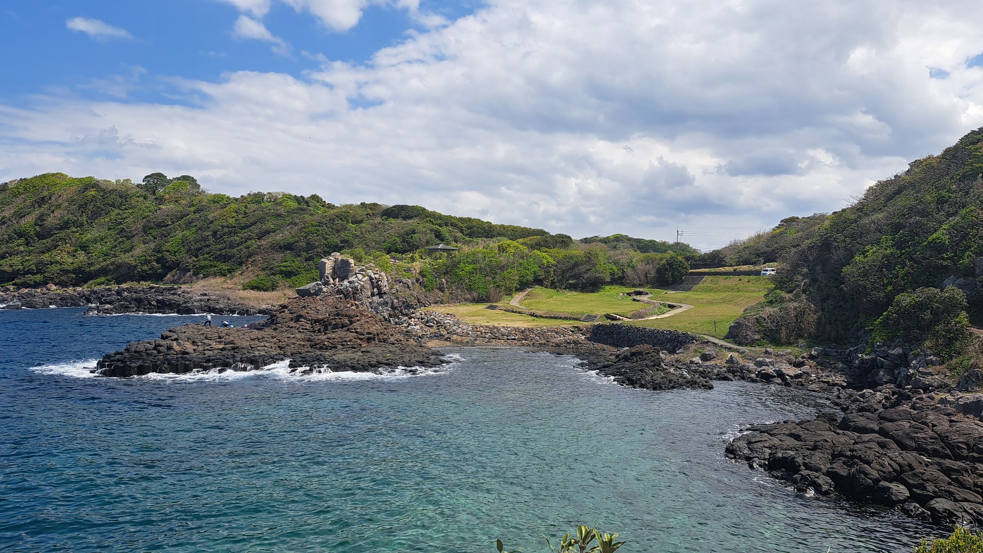
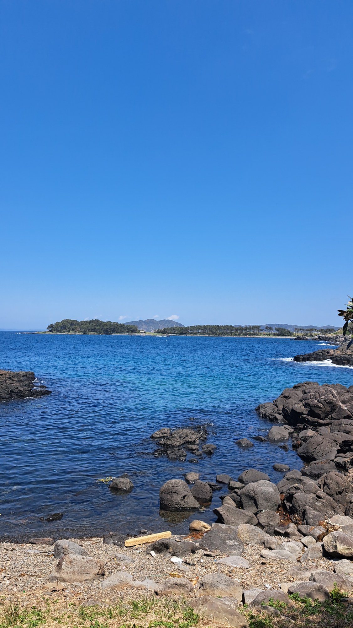
This was the part we liked most. The path runs above low columnar-basalt cliffs, with black hexagonal columns rising from clear coves and flat rock shelves. They reminded us of the Jusangjeolli cliffs near Seogwipo on Jeju; offshore, low islands sit on the horizon.
The morning had been grey over the castle, but the sky cleared completely when we reached the coast.


Coves, rock shelves and Hado Cape
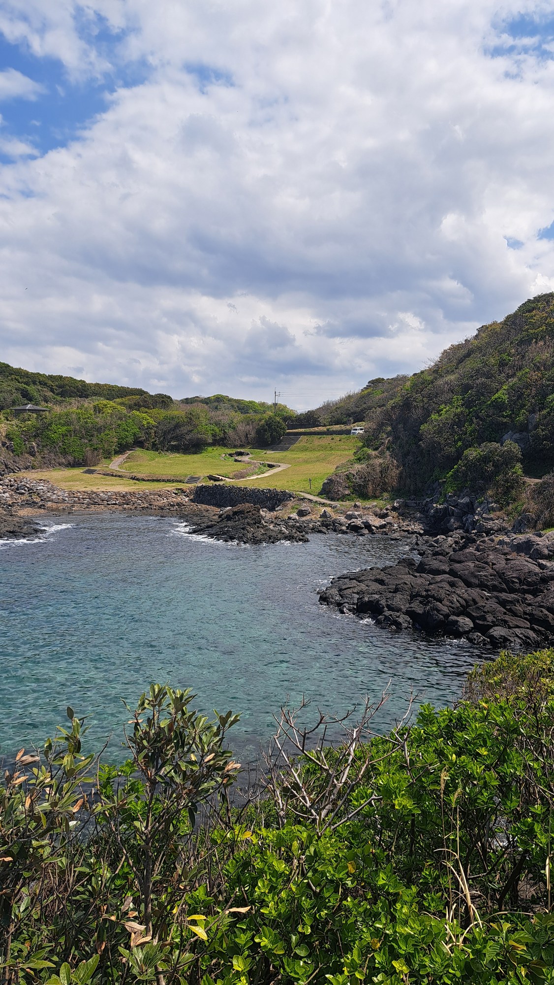
The trail is not level. It drops on concrete steps into small coves with stony beaches, cuts inland through scrub and pines, then comes out on the next headland. Above one cove a mown field runs to the edge of the rock.
We met very few people, apart from two fishermen on the flat shelves at the water.
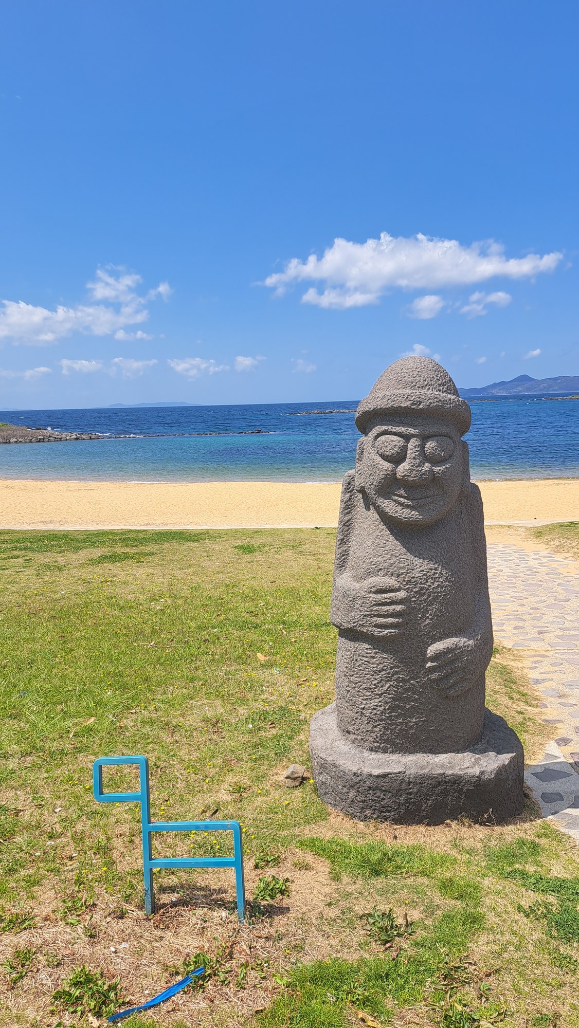
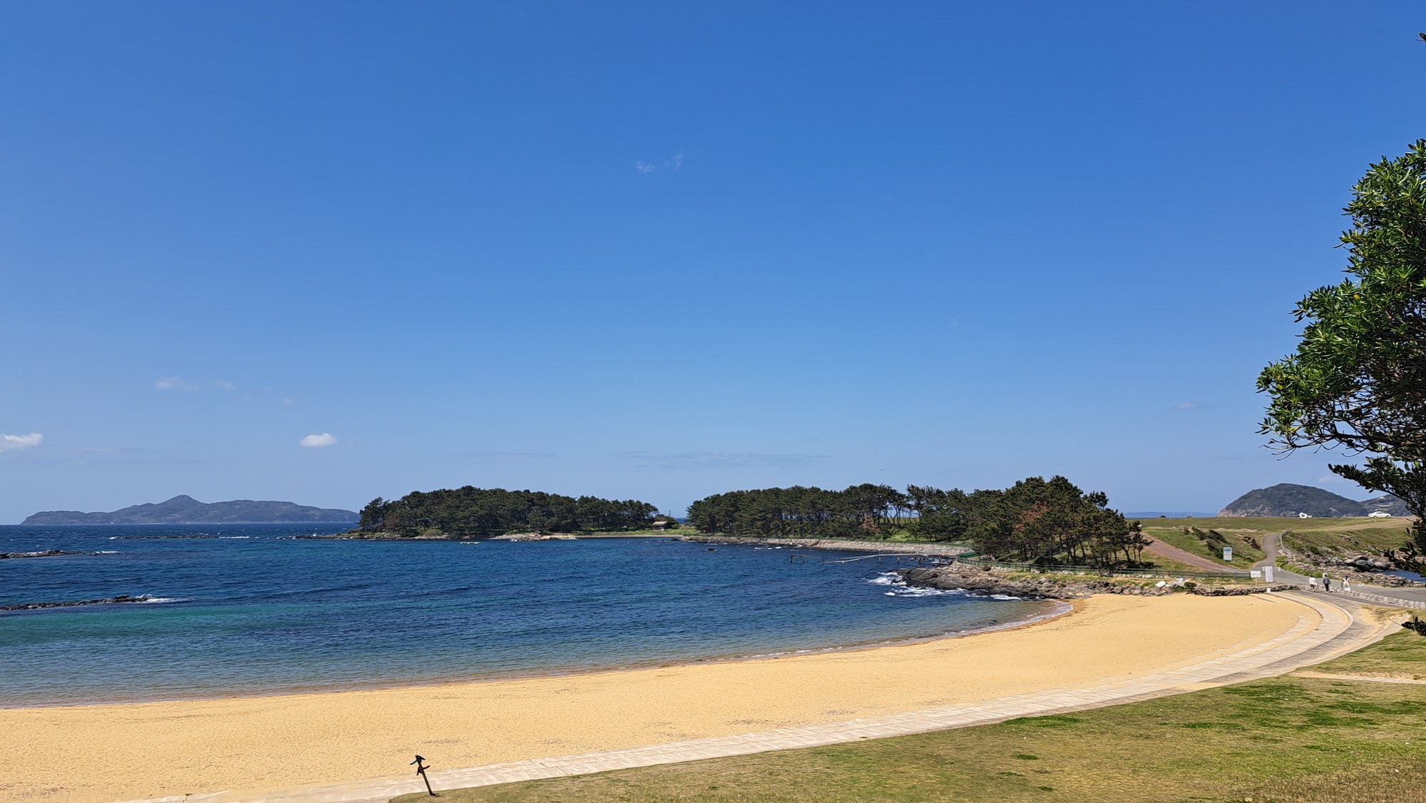
The route came down to a curved sand beach with a bar of pines across the far side of the bay. It ended on the grass above it beside two dol hareubang, the stone grandfathers of Jeju, given by Seogwipo in 2014 for the twentieth anniversary of its sister-city tie with Karatsu.
From the beach, a paved path runs along the grass headland to the point, with the sea below and an island straight ahead. The Genkai undersea observation tower stands off the rocks at the end.





Good to know
- Getting there
Karatsu is on the JR Chikuhi line from Fukuoka and the Karatsu line from Saga. From Karatsu Ōteguchi bus centre, take a Showa Bus towards Hadomisaki to Nagoya-jō Hakubutsukan-iriguchi (名護屋城博物館入口). Return from Hadomisaki stop above the beach; departures are infrequent, so check the timetable.
- Route & difficulty
Our track: 12.94 km, 357 m ascent and 3 h 13 min including stops. Easy overall, with forest lanes, castle paths, roads and cliff-top steps.
- Castle & museum
Hizen Nagoya Castle asks a ¥100 heritage cooperation fee. The neighbouring Saga Prefectural Nagoya Castle Museum is free, open 9:00–17:00 and closed Mondays; check the official site (external link).
- Where we stayed
We stayed at Karatsu Seaside Hotel, on the bay behind Niji no Matsubara, and ate dinner in Karatsu town. The hotel has an onsen bath overlooking the water.
- GPX track
-
Download the GPX track of Karatsu Kyushu Olle walk, for your maps app or GPS watch.
- Location
-
Karatsu Open in maps (external link)
- Details
-
Visited Last checked