Climbing Kaimon Dake, the Satsuma Fuji
開聞岳
A dormant volcano at the southern tip of the Satsuma Peninsula with a spiral trail through the forest to a 360-degree summit.
The Satsuma Fuji
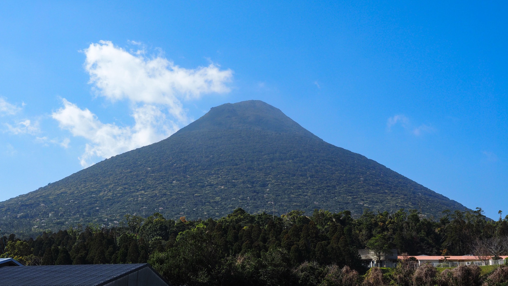
Kaimondake is a 924-metre volcano on the southern tip of the Satsuma Peninsula, and from almost anywhere around Ibusuki its silhouette is unmistakable: a single green cone rising straight out of the sea. The shape earned it the nickname Satsuma Fuji and a place among Japan's hundred famous mountains. The volcano has been dormant for over a thousand years and sits inside Kirishima-Kinkowan National Park.
What makes the climb unusual is the route. Instead of switchbacks, the single trail spirals once around the whole cone on its way up, so the scenery keeps rotating as you climb: forest, then coastline, then fields, then open sea.

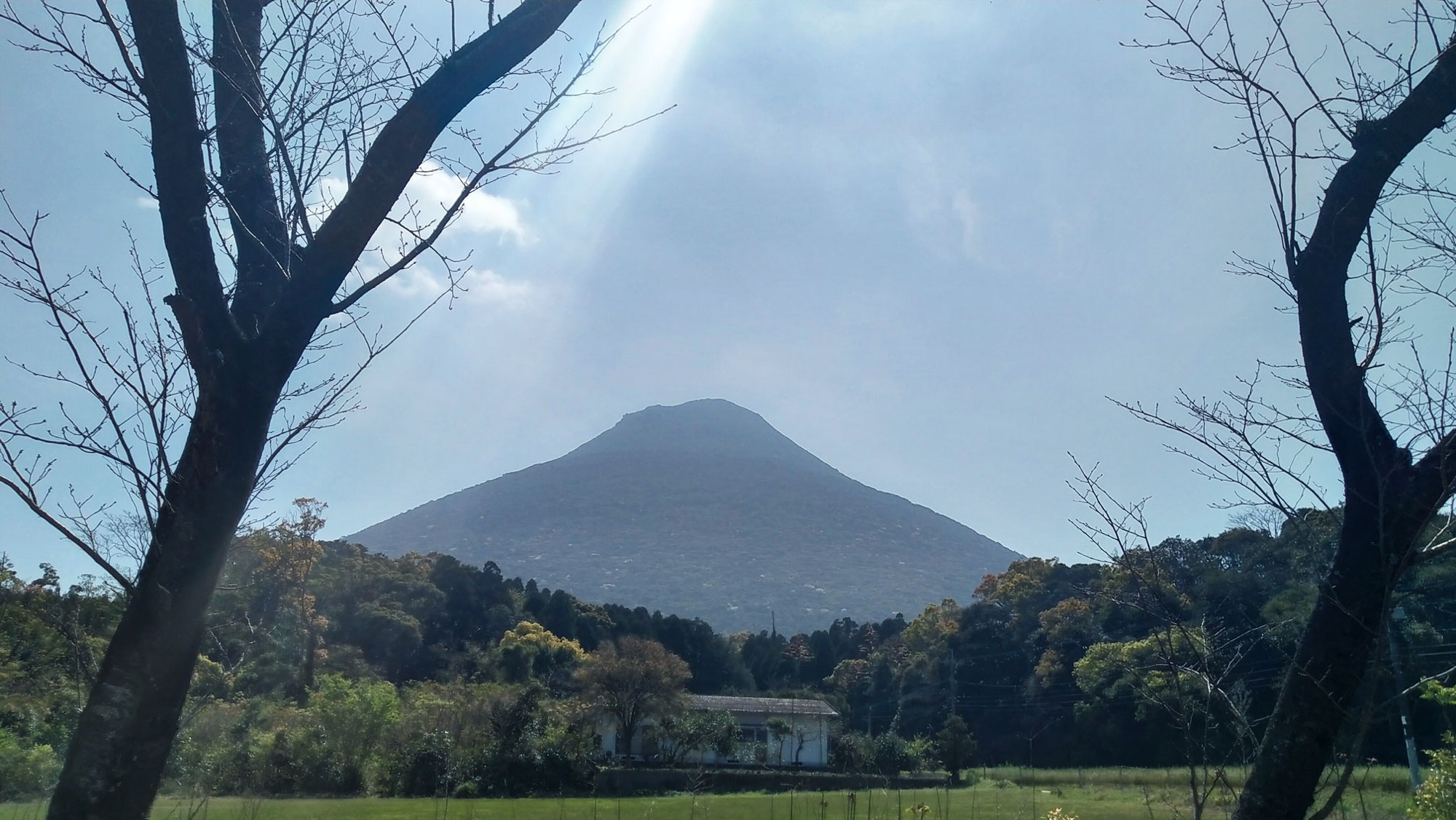
Climbing from the North Entrance
We took the local bus from Ibusuki Station, and the driver made sure we knew where to get off and pointed us toward the trail. The climb starts at the North Entrance — the mountain's second station — a short walk through Kaimon Sanroku Fureai Park, where you register your climb at the park building.
Most of the way is forest. The path is narrow and never technical, but it works steadily upward: the cone rises straight from the coastal plain, so you climb close to its full height, about 800 metres of ascent from the trailhead. The character changes in the final stretch — ropes, short ladders and big volcanic stones that want hands as well as feet. It ends as a proper little scramble rather than a walk.
Our GPS recorded 9.1 kilometres for the round trip, and we were up and back in 3 hours 45 minutes at a steady pace. The usual estimate of four to five hours is realistic if you give the summit the time it deserves.
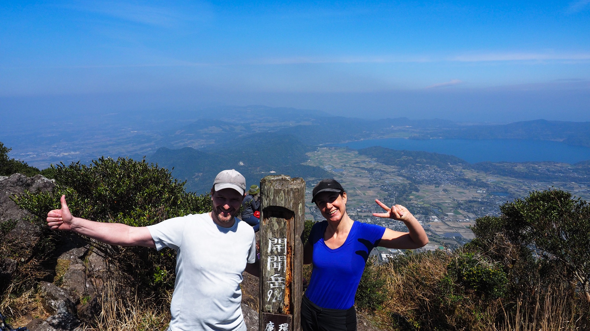
The view from the top
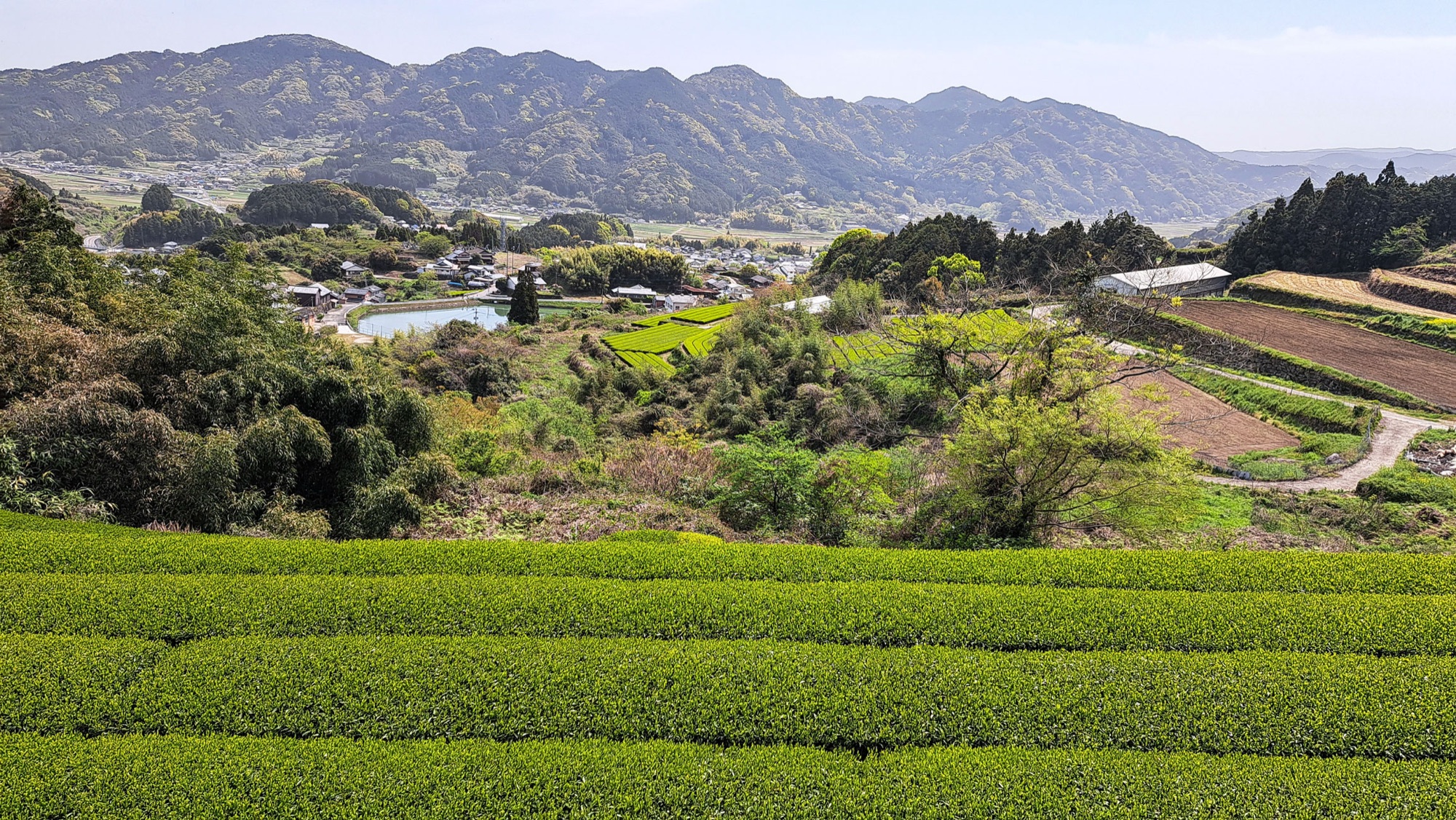
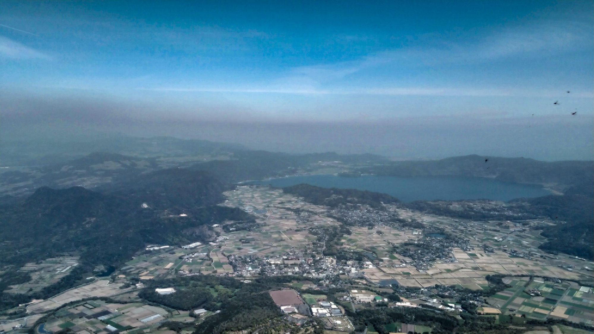
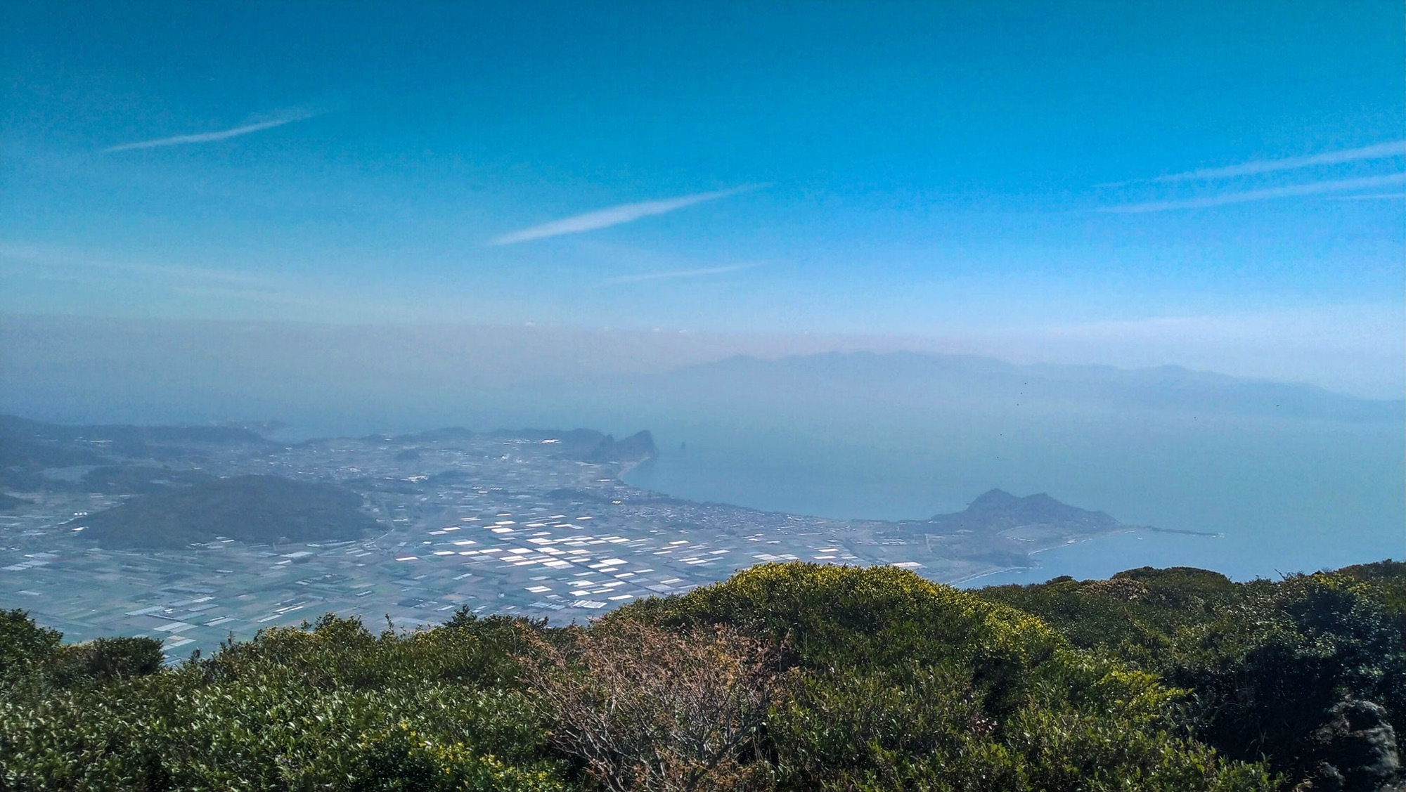
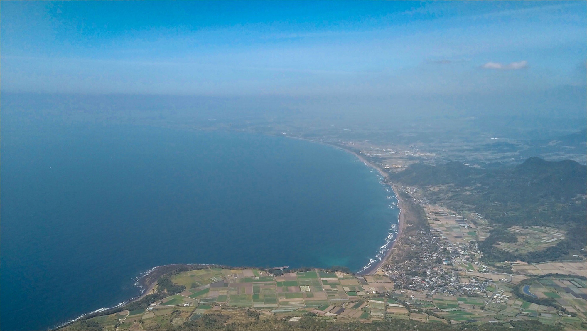
The summit is open through the full 360 degrees. North lies Lake Ikeda, the caldera lake, with the fields of Kaimon spread around it; east, Cape Nagasakibana curls into Kinko Bay with Sakurajima on the horizon; south, open sea and the islands strung out toward Yakushima. On our March visit the distance was hazy, but the whole circle was there.
A handful of hikers shared the top with us, and it never felt crowded — surprising for a mountain this well known.
After the hike
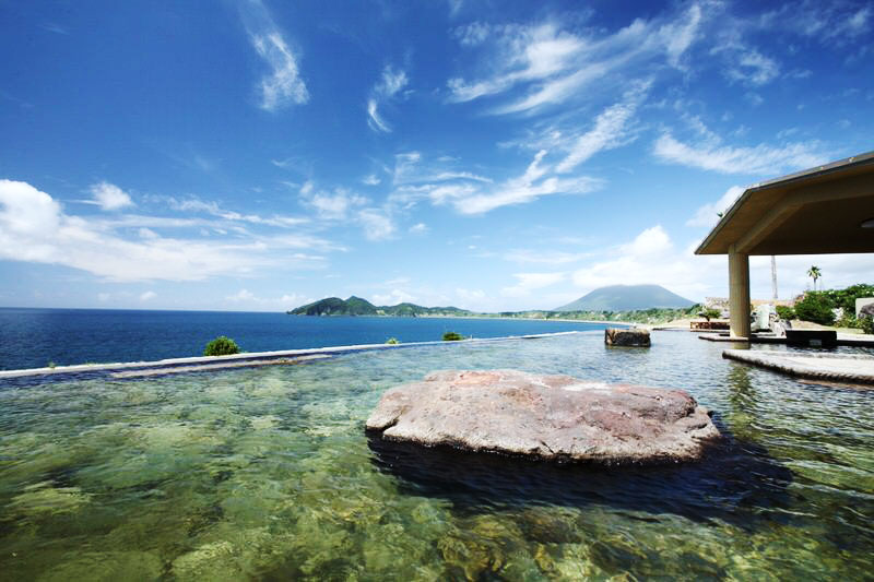
The bus line back to Ibusuki passes Healthy Land, so we finished the day the obvious way: a long soak at Tamatebako Onsen in Ibusuki, the outdoor bath facing the sea and Kaimondake. Volcano plus onsen is a pairing that is hard to argue with.
We did all of this from Kagoshima, where we were based at the Dormy Inn: morning train to Ibusuki Station, bus to the trailhead, and the same route in reverse after the soak. Kaimondake works as a full day from either base — and if the sand baths brought you to Ibusuki anyway, this is the day that turns it from a spa stop into a proper destination.
Good to know
- Access
Local bus from Ibusuki Station toward Kaimon (about 1 hour, roughly every 45 minutes); get off at Kaimon-tozanguchi. Alternatively, JR Ibusuki–Makurazaki line to Kaimon Station and a 30-minute walk to the trailhead.
- Stay
We slept in Kagoshima at the Dormy Inn and took the morning JR train to Ibusuki; the whole hike-and-onsen day works well with Kagoshima as your base.
- Trailhead
North Entrance (second station), a 15-minute walk through Kaimon Sanroku Fureai Park. Register your climb at the park building.
- Route
One spiral trail to the summit and back the same way: 9.1 km round trip, about 800 m of ascent, with ropes and ladders near the top.
- Time
We took 3 h 45 min up and back; count on 4–5 hours.
- After the hike
Soak at Tamatebako Onsen in Healthy Land, on the bus line back to Ibusuki.
- GPX track
-
Download the GPX track of Climbing Kaimon Dake, the Satsuma Fuji, for your maps app or GPS watch.
- Location
-
Ibusuki Open in maps (external link)
- Details
-
Visited Last checked